Atemberaubende Fjordlandschaften, gewaltige Wasserfälle und eine schier endlose Hochebene – all das sehen Sie bei einem Roadtrip auf der Norwegischen Landschaftsroute Hardangervidda!
Norwegische Landschaftsroute
Hardangervidda
Erleben Sie Norwegens „Grand Canyon“
Die Traumstrecke gehört zu den 18 offiziellen Norwegischen Landschaftsrouten.
Sie verläuft über die größte Hochebene Nordeuropas zwischen dem Hardangerfjord und Geilo und führt zu einer der bekanntesten Attraktionen Norwegens – dem Wasserfall Vøringsfossen, eingebettet in eine tiefe, dramatische Schlucht.
Eine Reise über die
Hochebene Hardangervidda
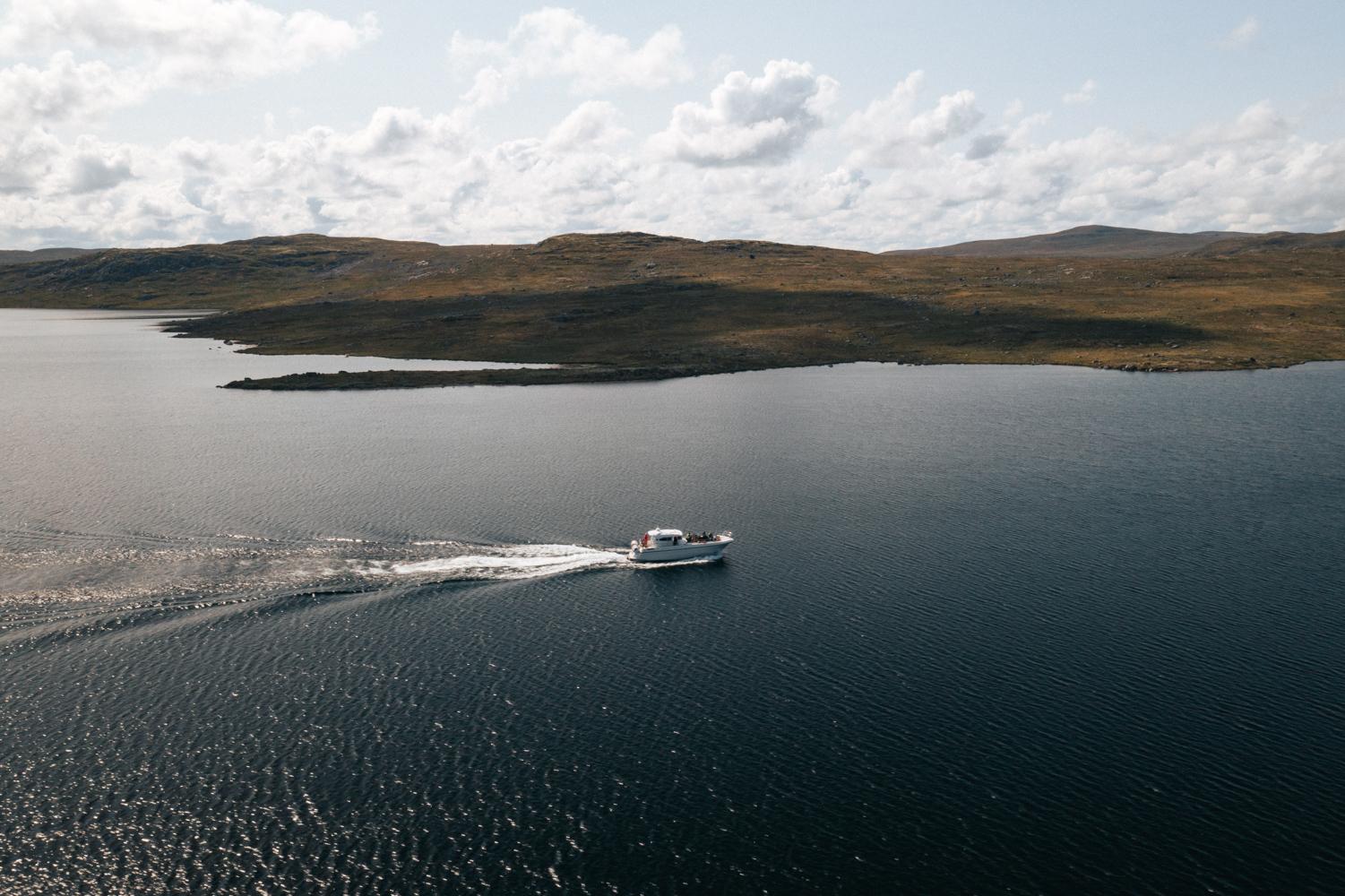
Möchten Sie unberührte, offene Landschaften erleben, wo der Blick bis an den Horizont reicht? Dann ist es Zeit für die Norwegische Landschaftsroute Hardangervidda! Die 67 Kilometer lange Strecke verläuft von Eidfjord in Hardanger im Westen bis nach Haugastøl bei Geilo im Osten und dauert etwas mehr als eine Stunde – planen Sie aber Zeit für weitere Stopps bei den vielen Attraktionen ein.
Am einfachsten gelangen Sie auf die Hardangervidda von der Hansestadt Bergen in rund zweieinhalb Autostunden. Alternativ können Sie in vier bis sechs Stunden auch von Oslo, Stavanger oder Kristiansand anreisen. Sie erreichen alle Städte zudem mit dem Flugzeug und können dort einen Mietwagen nehmen.
Flugtickets können Sie bei Norwegian, Widerøe, oder SAS buchen.
Erkunden Sie vor Beginn (oder am Ende) Ihres bergigen Roadtrips die wunderschöne Region Hardangerfjord und das malerische Dorf Eidfjord.
Paddeln Sie mit dem Kajak, schwimmen Sie oder genießen Sie eine entspannte Fjordkreuzfahrt in dieser idyllischen Umgebung am östlichen Ende des Fjords.
Entdecken Sie ruhige Strände und traumhafte Wanderwege mit verschiedenen Schwierigkeitsgraden. Anschließend können Sie im gemütlichen und historischen Eidfjord Gjestgiveri oder im Vøringfoss Hotel eine Mahlzeit genießen und übernachten.
Probieren Sie auf Ihrem Weg zur Hochebene unbedingt die köstlichen süßen Brötchen (Boller) in der Bäckerei des Vik Restaurants.
Entdecken Sie Eidfjord!
Werfen Sie einen Blick auf interessante Erlebnisse im charmanten Dorf Eidfjord.
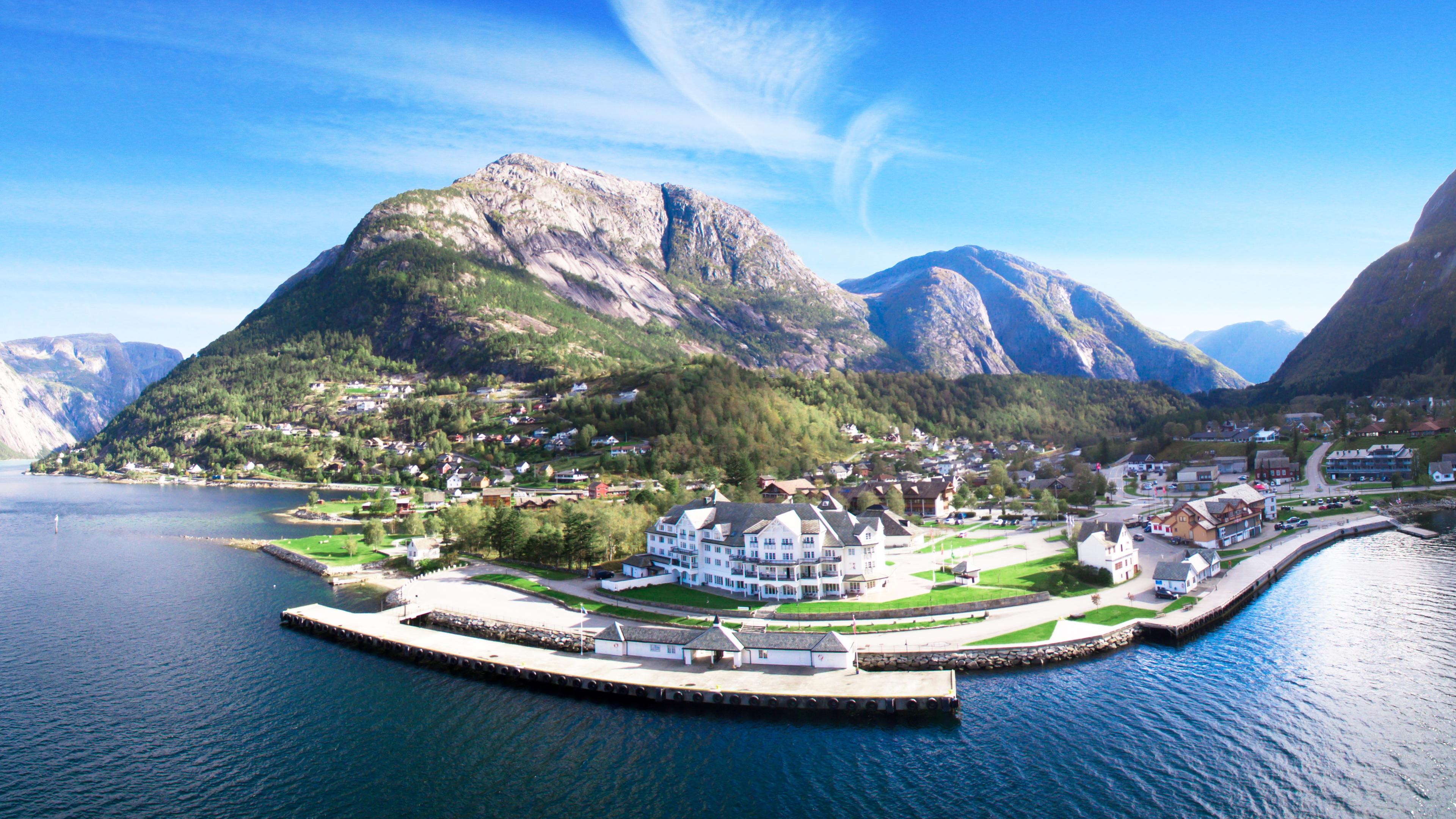
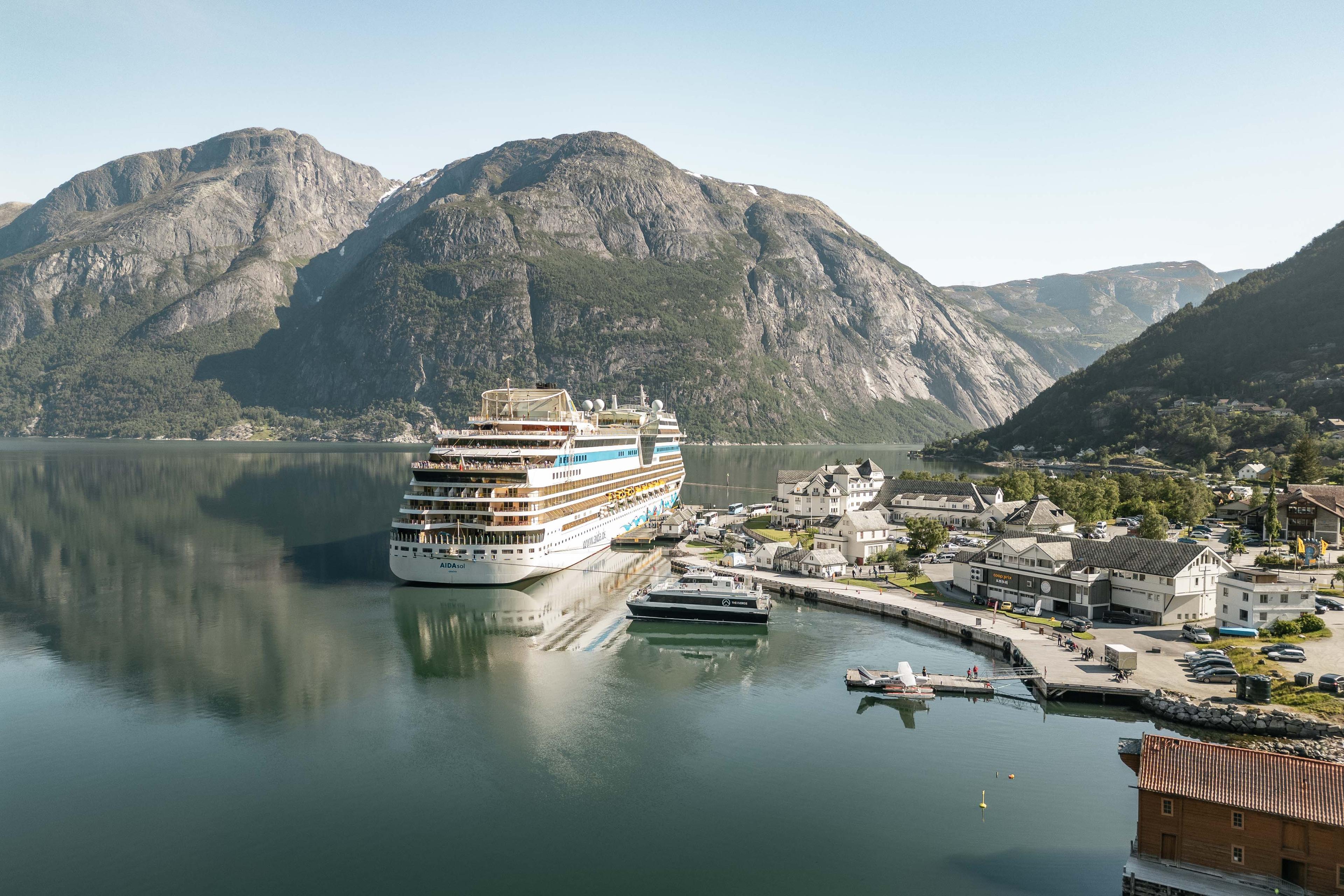
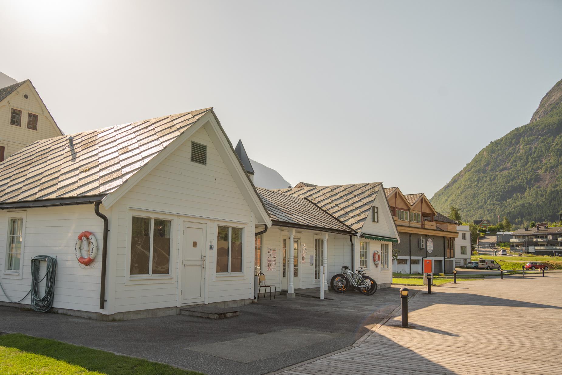 Eidfjord
Eidfjord Touristeninformation / Visit Eidfjord KF
Ganzjährig geöffnet. Buchungsbüro für Unterkünfte, Attraktionen und Aktivitäten. Wenden Sie sich an das Fremdenverkehrsbüro, um Führungen zu erhalten. Erweiterte Öffnungszeiten an Tagen mit Kreuzfahrtschiff und Norled Passagierboot in Eidfjord.
Übernachten
Finden Sie die passende Unterkunft in der Region Eidfjord.
 Eidfjord
Halne Fjellstugu
Halne is located in the middle of Hardangervidda. They offer accommodation, transport with Halnekongen, experiences and food. Halne is easy to get to. From Oslo it takes about 4 hours to Halne, from Bergen 3.5 hours. There is a bus from Eidfjord and Geilo passing Halne on Rv7. If you come by train, the nearest train station is Haugastøl or Ustaoset. They offer pickup at the station if you need it. Halne is located right at the entrance to Hardangervidda National Park. This makes Halne a destination for many hikers. It is important to have a good bed and a delicious duvet after a long day in the mountains. At Halne we have 75 sleeping places divided into double rooms and smaller rooms in the main building, next to detached cabins and apartments. All rooms have shower and toilet, as well as internet. With the window on the slope, you can sleep well in the fresh mountain air from Hardangervidda.
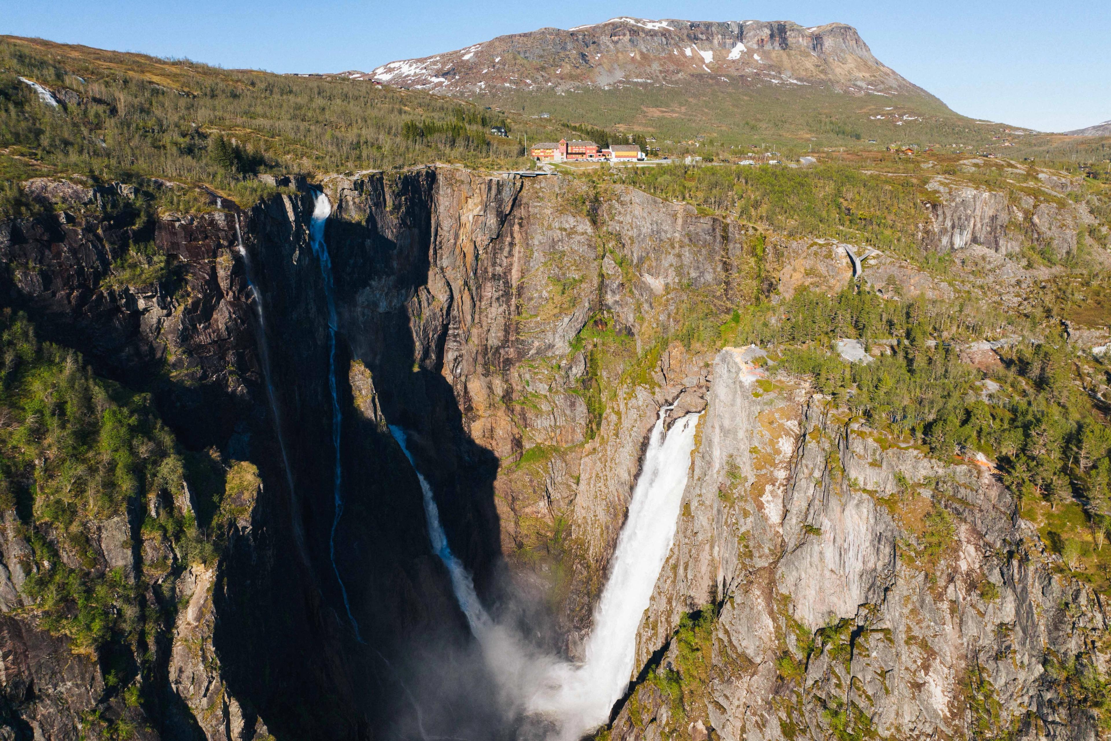
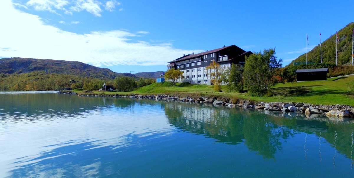
Zwanzig Fahrminuten östlich von Eidfjord erreichen Sie Måbødalen. Fahren Sie vorsichtig durch dieses tiefe und eindrucksvolle Tal mit seinen spektakulären Spiraltunnels, und Sie werden am nächsten Halt belohnt: dem Wasserfall Vøringsfossen.
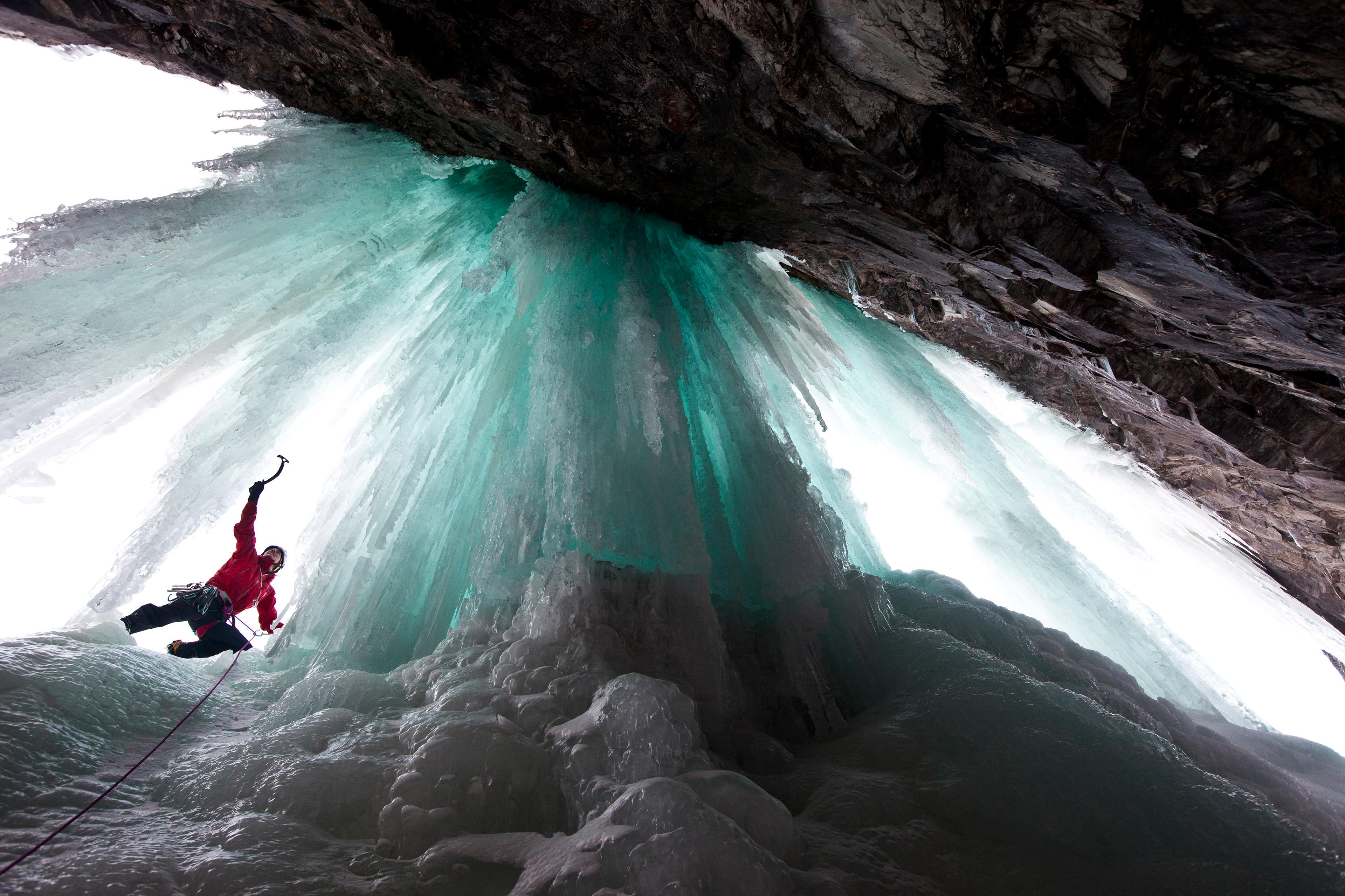
Der Vøringsfossen ist einer der berühmtesten Wasserfälle Norwegens. Mehrere spektakuläre Aussichtsplattformen bringen Sie ganz nah ans Wasser, das 182 Meter tief in die Schlucht stürzt.
Sie können unterwegs im altehrwürdigen Fossli Hotel aus dem Jahre 1891 übernachten, das direkt über dem Wasserfall liegt. Das Hotel verfügt über ein Restaurant und ein Café – ideal auch für eine kleine Pause vor der Weiterfahrt.
Hinweis: Die Aussichtsplattformen sind im Winter geschlossen, und der Wasserfall kann in dieser Jahreszeit teilweise oder vollständig gefrieren.
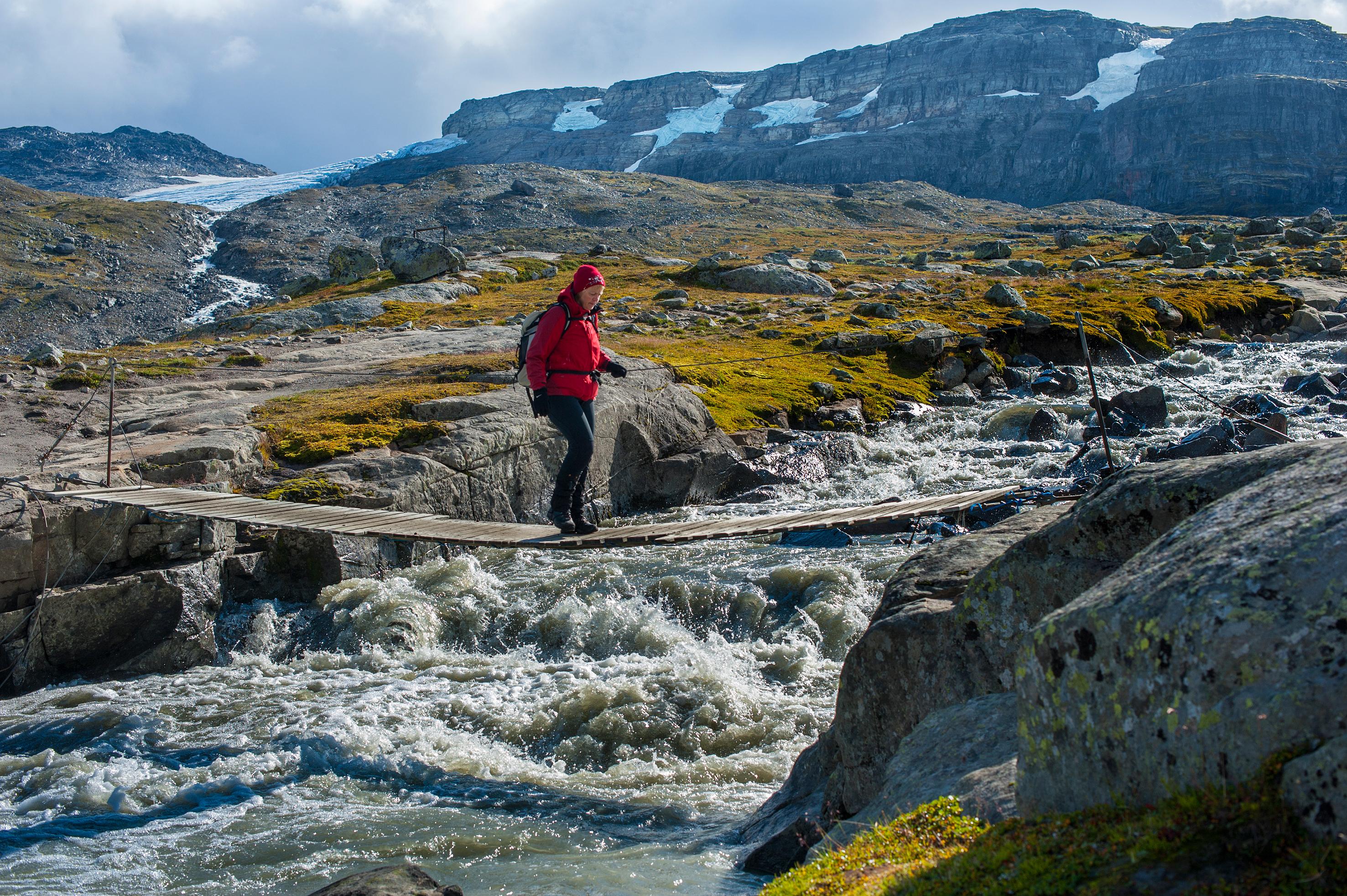
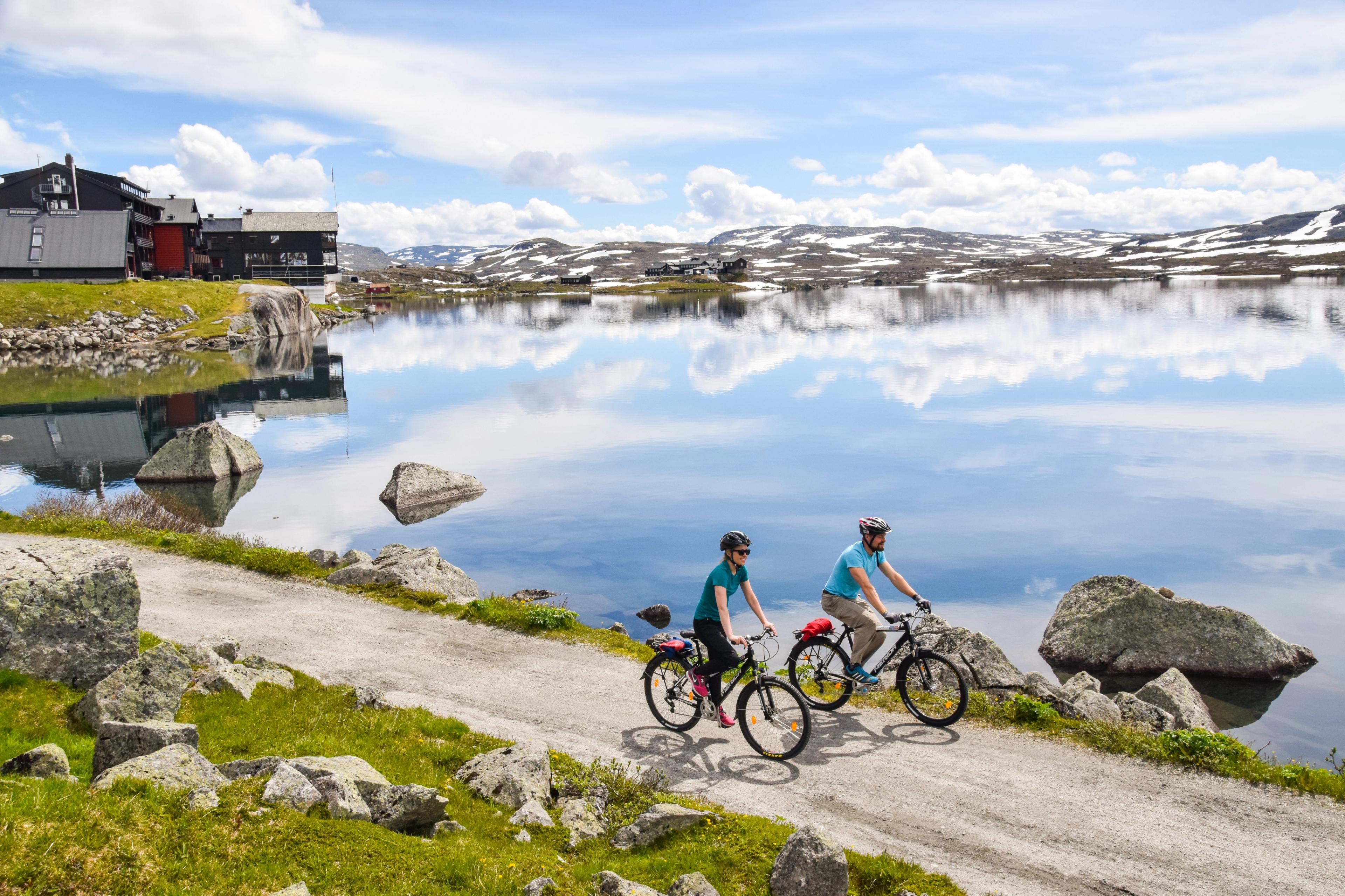
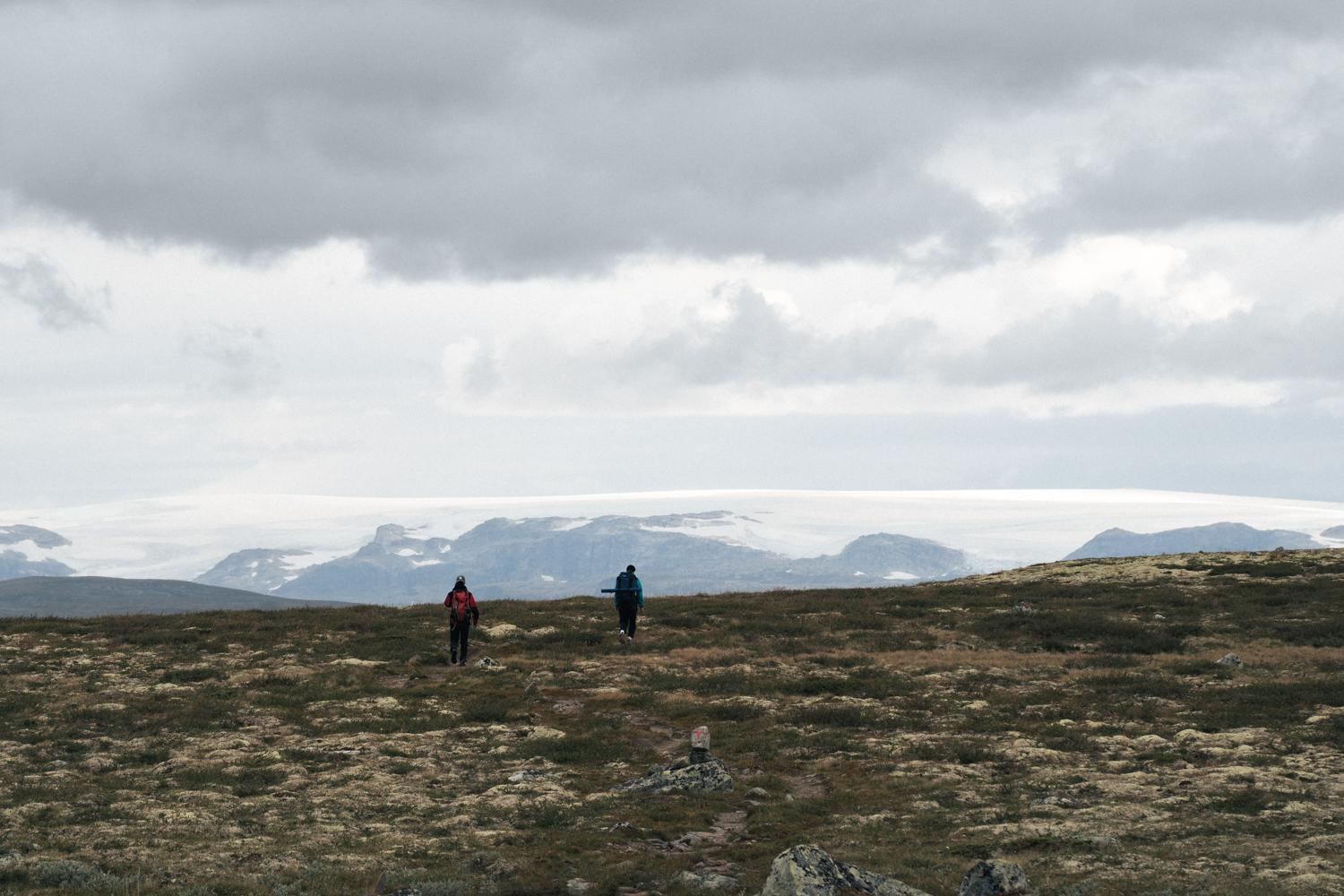
Fahren Sie weiter, und schon bald eröffnen sich Panorama-Ausblicke auf die weite Hochebene Hardangervidda.
Dieses Gebiet ist ein Traum für Wanderer. Einfach einparken, in eine Hütte einchecken und den Rucksack schultern – schon starten Sie auf einem der zahlreichen Wanderwege in Ihr Wanderabenteuer.
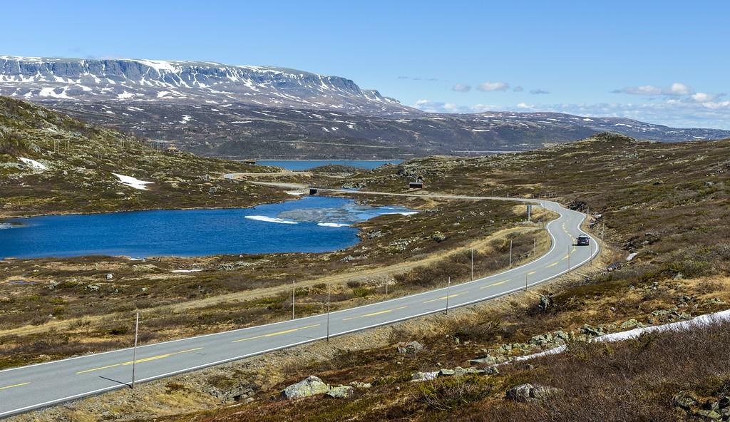
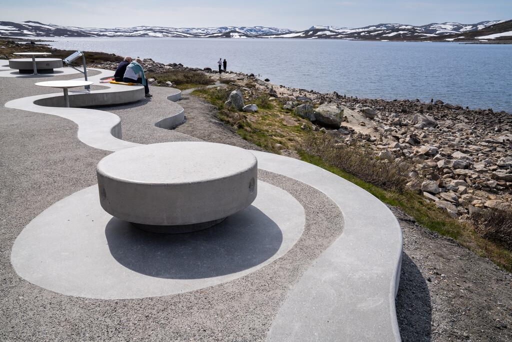
Fahren Sie rund 40 Minuten weiter durch die außergewöhnliche Landschaft und machen Sie eine Pause am Ørteren-See.
Zwei architektonisch bemerkenswerte Rastplätze bieten dort Ausblicke auf den See. Ihr Design fügt sich behutsam in die Umgebung ein und orientiert sich an den natürlichen Formen der umgebenden Landschaft.
Folgen Sie der Straße weitere zehn Minuten nach Osten bis nach Haugastøl. Dies ist das östliche Ende der Strecke – Sie können Ihre Reise aber genauso gut hier beginnen und nach Westen fahren.
Übernachten Sie im Haugastøl Turistsenter oder genießen Sie die umliegende Natur bei einer Wanderung.
Haugastøl ist außerdem der Ausgangspunkt des berühmten Rallarvegen. Der 82 Kilometer lange Radweg führt bis nach Flåm und verläuft bei Finse, Hallingskeid und Myrdal durch eindrucksvolle Hochgebirgslandschaften.
Die Strecke ist meist ab Anfang Juli schneefrei, die Radsaison dauert bis Ende September.
Entdecken Sie die Hardangervidda
Machen Sie Ihre Reise mit spannenden Aktivitäten einfach unvergesslich!
 Geilo
GeiloNationalpark Hardangervidda - 10 Iconic Walks
Halne–Rauhelleren–Heinseter–Halne. Diese dreitägige Rundwanderung auf Nordeuropas größtem Hochgebirgsplateau ist ideal für alle, die neu in den Bergen sind oder kurze Etappen zwischen bewirtschafteten Hütten wandern möchten. Die Tour beginnt und endet mit einer schönen Schiffsfahrt über den See Halnefjorden. Länge: 38 km (15/16/7 km) Dauer: 4,5/4,5/3 Std. Schwierigkeitsgrad: Mittel Kinsarvik
Hardangervidda: three-day hike
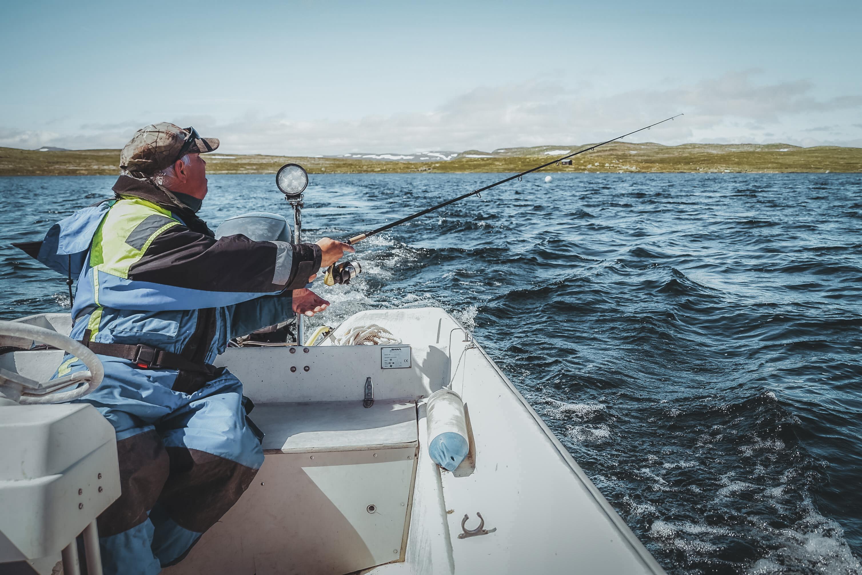
Kinsarvik-Husedalen-Stavali-Hadlaskard/Hedlo/Viveli-Øvre Eidfjord This is one of the classic Hardangervidda routes. Starting in Kinsarvik the first day goes through the beautiful Husedalen, the valley with four big waterfalls. First overnight stay at Stavali mountain lodge. Second day takes you deeper into Hardangervidda with overnight stay at one of the lodges in the beautiful Veig valley: Hadlaskard, Hedlo or Viveli. The third day takes you down Veig valley and Hjølmadalen to Øvre Eidfjord. Season: July and August Time: First day: Kinsarvik-Stavali about 6-7 hours Second day: Stavali-Hadlaskard about 6-7 hours, or Stavali-Hedlo about 5 hours, or Stavali –Viveli about 5-6 hours. Third day: Hadlaskard-Hjølmaberget about 6.5 hours, or Hedlo-Hjølmaberget about 3.5 hours, or Vivile-Hjølmaberget about 1.5 hours. A car road goes from Hjølmaberget down to Øvre Eidfjord. This road is suitable for vehicles no longer than 6 meters. Alternatively you can take a taxi frpm Hjølmaberget, og walk to Øvre Eidfjord. Mountain lodges on this route: Stavali, 1024 masl. Self-serviced, all year open lodge. Caretaker there in July and August. Hadlaskard, 995 masl. Self-serviced, all year open lodge. Caretaker there in July and August. Hedlo Turisthytte, 945 moh. Private lodge. Staffed in July and August Viveli Fjellstova, 880 moh. Private lodge. Staffed in July and August Buses: Skyss bus 990 between Kinsarvik and Bu. Timetable. Skyss bus 991 between Bu and Eidfjord/Øvre Eidfjord. Timetable. Taxi: Kinsarvik tel (+47) 97 57 26 04 Eidfjord tel (+47) 90 69 10 75 Parking: Kinsarvik: next to the town hall (60.374771, 6.721917), or by the bridge crossing the river Vivippo (60.363347, 6.744060). Hjølmaberget: at the end of the road ( 60.371412, 7.169371) Map: Hardangervidda West, 1:50.000. Buy hiking maps at the local tourist offices, or order a map online, or by e-mailing the Norwegian Trekking Association at [email protected]. This is a hike in the Norwegian high mountains. What you need to know before hiking in Hardangervidda: In Hardangervidda you are in the wilderness. There are no shops, doctors, restaurants, ATMs, or telephones. You can be several days hiking from the nearest road. You can buy provisions and stay overnight the lodges operated by the Norwegian Trekking Association. You can pay by leaving a cash payment, or by filling out a payment form. In the staffed lodges you can pay by debit or credit card. Read more here. Hiking is possible when Hardangervidda is snow free, normally in July and August. Winter can come quickly and without mercy, even early in September. Do not put yourself and others at risk by hiking outside the season, or by not being properly prepared and equipped. Every year there are tourists who are rescued by local volunteers. Bring warm, water and wind proof clothing. The weather in the high mountains is different from the weather down by the fjords. Be prepared for low temperatures, also in the summer. Weather can change rapidly and unpredictably. It can be good weather down by the fjord, and be foggy and cold in the mountains. Always have a topographical map (in at least scale 1:100.000) and compass (and even a GPS). In Norway, even if a trail is marked, it can be difficult to see it, and a map and compass enables you to orientate. Be especially aware of fog in Hardangervidda, which is not a problem in lower areas. Buy hiking maps at the local tourist offices, or order a map online, or by e-mailing the Norwegian Trekking Association at [email protected] can also print you own topographical map (for free) in scale 1:25.000 or 1:50.000 by using an online map tool. The quality of hiking maps for sale is much better, as the paper quality is weather proof. The maps for sale contain more relevant information about marked trails, estimated time for the marked trails, mountain lodges etc. If you travel on a low budget and do not want to spend money on appropriate clothing and map and compass, it is best to take day hikes, see list of all our beautiful hikes here. Distances in the wilderness are given in time, NOT kilometers. Norwegian standard walking time is a fast pace. You will find this information given in hours in tour descriptions and in hiking maps. You need to add time to the standard walking time, and also add time for breaks. Which means that an 6 hour hike is really a full day's hike. An 8 hour hike is long day's hike. Be aware of height differences; 4 km in even landscape is very different in 4 km with an ascent of 1,000 meters! Downhill is just as demanding as uphill, especially if you carry a heavy back pack. If you plan to hike several days in Hardangervidda, you need to be physically fit for it. You have no access to electricity in the mountains; bring enough batteries. You use more power in cold weather. You do NOT have mobile coverage in the mountains, and NO access to internet. If something happens, you will most likely not be able to phone for help. It can be several days hiking to the nearest road. As a rule you can drink water in Hardangervidda, but there is no guarantee that it is safe. Be especially aware of the water in areas where many people go (like the trail to Trolltunga), and in smaller ponds. Take all waste with you. Nature in the high mountains is extremely vulnerable. Do not disturb animals and birds, do not destroy vegetation. From 15th April to 15th September making fire near or in woodlands is prohibited. If you fish in lakes and streams and rivers you need a permit from the land owner. Buy fishing permits online or at the lodges in Hardangervidda, or at the local tourist offices. Read this brochure before hiking in Hardangervidda. Useful links: About the NorwegianTrekking Association About the lodges/cabins How does it work at the cabins/lodges? Price list 2016 Way marking Planning tool Hardangervidda About maps What you need to know before hiking By map online Make and print your own map Safety in the Norwegian Mountains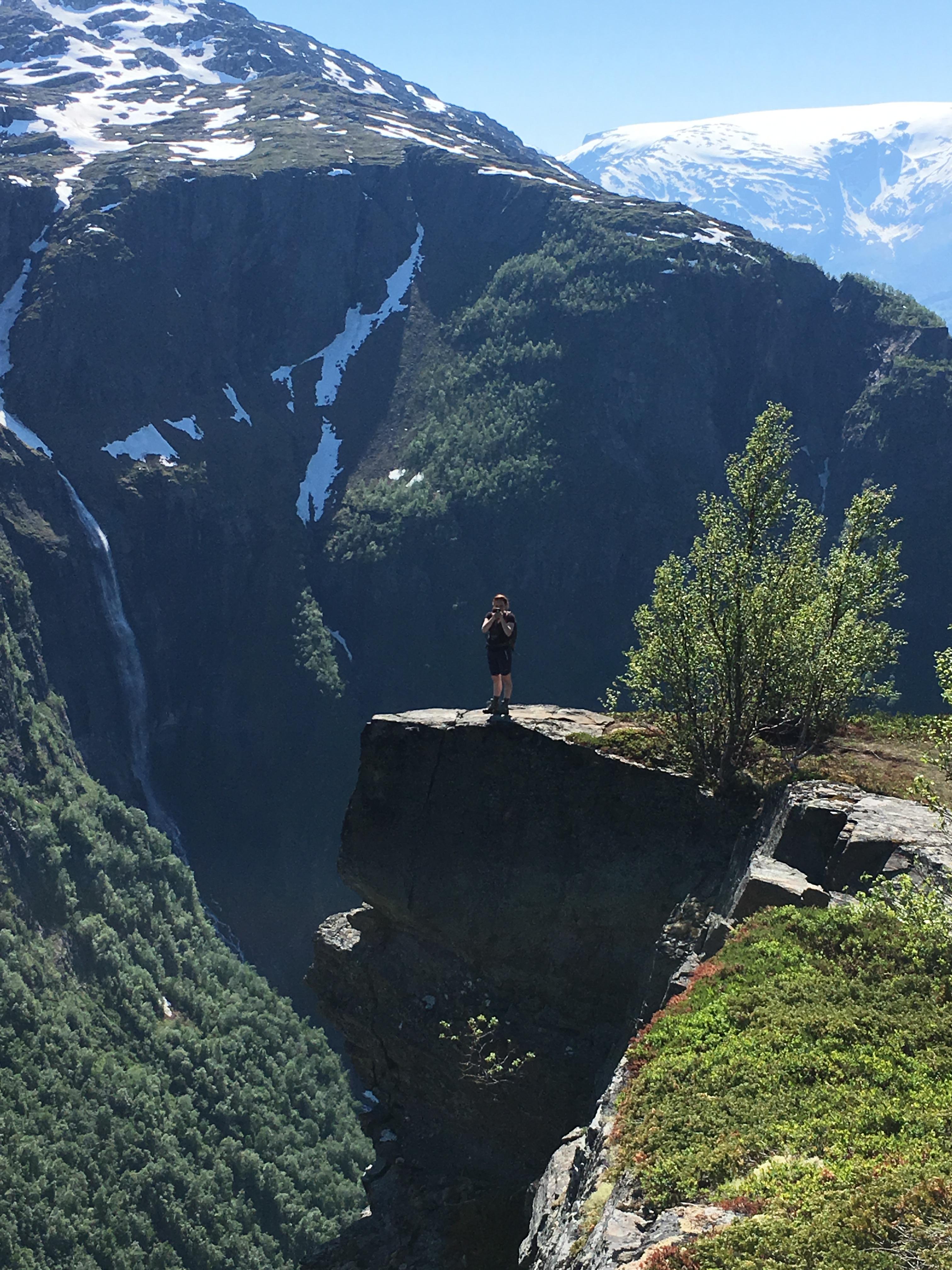 Kinsarvik
Hardangervidda: two-day hike
Kinsarvik-Husedalen-Stavali-Lofthus This is a two day's hike where you see the dramatic changes in landscape from fjord and valley to high mountain. From Kinsarvik a trail marked by the Norwegian Trekking Association takes you through Husedalen, the valley with the four big waterfalls, to Stavali in Hardangervidda. It is possible to stay overnight in the trekking association's lodge in Stavali. The next day return the same way back to Kinsarvik, or follow the marked trails across Hardangervidda to Lofthus. On the way down to Lofthus the view to the Hardangerfjord is great. Seson: July-August Time: Kinsarvik-Stavali about 6-7 hours, Stavali –Lofthus about 7-8 hours. Accommodation: Stavali Mountain Lodge. Bus: Skyss bus line 990 between Kinsarvik and Lofthus. Timetable. Parking: in Kinsarvik, next to the town hall (60.374771, 6.721917), or by the bridge across the river Vivippo (60.363347, 6.744060). Map: Hardangervidda West, 1:50.000. Buy hiking maps at the local tourist offices, or order a map online, or by e-mailing the Norwegian Trekking Association at [email protected]. This is a hike in the Norwegian high mountains. What you need to know before hiking in Hardangervidda: In Hardangervidda you are in the wilderness. There are no shops, doctors, restaurants, ATMs, or telephones. You can be several days hiking from the nearest road. You can buy provisions and stay overnight the lodges operated by the Norwegian Trekking Association. You can pay by leaving a cash payment, or by filling out a payment form. In the staffed lodges you can pay by debit or credit card. Read more here. Hiking is possible when Hardangervidda is snow free, normally in July and August. Winter can come quickly and without mercy, even early in September. Do not put yourself and others at risk by hiking outside the season, or by not being properly prepared and equipped. Every year there are tourists who are rescued by local volunteers. Bring warm, water and wind proof clothing. The weather in the high mountains is different from the weather down by the fjords. Be prepared for low temperatures, also in the summer. Weather can change rapidly and unpredictably. It can be good weather down by the fjord, and be foggy and cold in the mountains. Always have a topographical map (in at least scale 1:100.000) and compass (and even a GPS). In Norway, even if a trail is marked, it can be difficult to see it, and a map and compass enables you to orientate. Be especially aware of fog in Hardangervidda, which is not a problem in lower areas. Buy hiking maps at the local tourist offices, or order a map online, or by e-mailing the Norwegian Trekking Association at [email protected] can also print you own topographical map (for free) in scale 1:25.000 or 1:50.000 by using an online map tool. The quality of hiking maps for sale is much better, as the paper quality is weather proof. The maps for sale contain more relevant information about marked trails, estimated time for the marked trails, mountain lodges etc. If you travel on a low budget and do not want to spend money on appropriate clothing and map and compass, it is best to take day hikes, see list of all our beautiful hikes here. Distances in the wilderness are given in time, NOT kilometers. Norwegian standard walking time is a fast pace. You will find this information given in hours in tour descriptions and in hiking maps. You need to add time to the standard walking time, and also add time for breaks. Which means that an 6 hour hike is really a full day's hike. An 8 hour hike is long day's hike. Be aware of height differences; 4 km in even landscape is very different in 4 km with an ascent of 1,000 meters! Downhill is just as demanding as uphill, especially if you carry a heavy back pack. If you plan to hike several days in Hardangervidda, you need to be physically fit for it. You have no access to electricity in the mountains; bring enough batteries. You use more power in cold weather. You do NOT have mobile coverage in the mountains, and NO access to internet. If something happens, you will most likely not be able to phone for help. It can be several days hiking to the nearest road. As a rule you can drink water in Hardangervidda, but there is no guarantee that it is safe. Be especially aware of the water in areas where many people go (like the trail to Trolltunga), and in smaller ponds. Take all waste with you. Nature in the high mountains is extremely vulnerable. Do not disturb animals and birds, do not destroy vegetation. From 15th April to 15th September making fire near or in woodlands is prohibited. If you fish in lakes and streams and rivers you need a permit from the land owner. Buy fishing permits online or at the lodges in Hardangervidda, or at the local tourist offices. Read this brochure before hiking in Hardangervidda. Useful links: About the NorwegianTrekking Association About the lodges/cabins How does it work at the cabins/lodges? Price list 2016 Way marking Planning tool Hardangervidda About maps What you need to know before hiking By map online Make and print your own map Safety in the Norwegian Mountains Geilo
GeiloHardangervidda National park from Geilo and the North East side
GEILO – Gateway to Hardangervidda and Hallingskarvet National Parks Geilo is a national park village that serves as the gateway to two of Norway's most spectacular national parks: the vast Hardangervidda National Park and the majestic Hallingskarvet National Park. Located in Hol municipality, Geilo lies in the valley between these two natural gems. Whether you prefer short or short or longer day hikes or multi-day adventures with overnight stays, Geilo is the perfect base—ideal for those planning to cross the entire Hardangervidda plateau. Strategically situated at the meeting point of Hallingdal and Numedal, Geilo offers numerous starting points for both hiking and cycling in both valleys. Hardangervidda National Park Hardangervidda National Park spans parts of Buskerud, Vestfold and Telemark, and Vestland counties and is the largest mountain plateau in Northern Europe. The eastern side is characterized by flat, open plains, while the west features more rugged terrain. Here, you can enjoy year-round hiking, fishing, and hunting. The summer season typically starts in late June when the snow melts, but it's essential to check trail conditions (only in Norwegian) to ensure that summer bridges are in place. During winter from December to Mai, marked ski trails lead to DNT cabins, and trail reports (only in Norwegian) are available at www.dnt.no. There is often more information on the Norwegian websites, use a translate program to get the most out of it. Need a map or a DNT key? Geilo Tourist Information offers both for sale. Visit us at the Travel Center in Geilo town center or contact us at +47 32 09 59 00. For more details, visit www.geilo.com. Keys can also be purchased at DNT shops in Oslo, Bergen, Stavanger, or online. Most staffed DNT cabins also sell keys for the self-service and unstaffed cabins. TRANSPORT to Geilo Train: Geilo is easily accessible by train both from Oslo and Bergen via the Bergen Line, operated by Vy. Enjoy the scenic journey as the train climbs through Hallingdal. Upon arrival in Geilo, you'll find a variety of accommodations and shops for any last-minute supplies. The sport shops are open Monday to Saturday from aout 10:00 to 17:00/16:00. The supermarkets in Geilo are open every day from about 08:00 to 21:00 (shorter during the weekend) There are also train stations at Ustaoset, with one supermarket and at Haugastøl, with some small shopping options at Haugastøl Turistsenter. Check the opening hours of both places when planning doing some groceries here. Bus: Brakaroperates buses throughout Hallingdal: Route 334 to Haugastøl and Rallarvegen, Route 333 (school bus) to Dagali, Route 330 eastward to Gol. Routes in Numedal include: Route 420 toward Kongsberg. Buy a ticket on the website, in the app, in line 330 and line 420 you can also pay by card. Note: The Tuva bus will be discontinued from 2024. Skyss Bus 991 runs to Eidfjord over road 7 with one to two daily departures during the summer month. You can order a ticket online, in the app or in the bus by card. Boat: Take the Halnekongen boat from Halnefjellstugu along Highway 7 to experience Hardangervidda from the water or to start your hike directly in the heart of the plateau. Summer Lift: During peak season, the Summer Lift in Vestlia offers an easy way to gain elevation. Operated by SkiGeilo, it's conveniently located near Hakkesetstølen Fjellstue. Car: Highway 7 from both Oslo and Bergen is the most direct route to Geilo. Keep in mind that Hardangervidda may experience convoy driving or closures in winter. Check road signs and updates via the Statens Vedvesen website or app. Alternatively, take County Road 40 through Numedal for stunning viewpoints. Note that Imningsfjell Road (FV2814) from Austbygde to Bjørkeflåte is closed during winter. Toll Roads & Parking Geilo/ Hardangervidda: In Norway, many private mountain roads have tolls used for road maintenance. Increasingly, these roads offer automated toll payment options via websites within 48 hours. Look for signs at road entrances for specific instructions. Dagali, Seterdalen – Toll payment via parkpay.no. Winter closure. Skurdalen, Tuva – Toll payment via youpark.no (no camper vans allowed). Winter closure. Geilo, Hakkesetstølen – Toll and parking fees (max 6 hours) payable via Vipps or at the mountain lodge. Open year-round. Geilo Train Station – The only long-term parking in Geilo is on the north side of the station (Onepark.no). Ustaoset, Joker Store – Day parking available, pay at the kiosk. Ustaoset, Verpestølvegen – Toll payment via card or Vipps, open from June 1 to November 15. Haugastøl Train Station – Parking for train passengers. Haugastøl, Rallarvegen – Toll and parking fees. Winter closure. Dyranut, Tinnhøl – Toll payment by card. Winter closure. CYCLING ROUTES - come to Geilo by bike If you're traveling from Southern Norway, you can follow National Cycle Route 5 through the scenic Numedal Valley. At Rødberg, you have three route options: Smådøldalen: Ideal for nature enthusiasts who want to avoid traffic. This picturesque gravel road winds through the forest, offering a peaceful and serene experience. Highly recommended. Tunhovd: Prefer asphalt? Cycle toward Tunhovd road 2806 on a quiet, low-traffic road, then continue to Dagali. County Road 40: If you're looking for a faster route, stay on County Road 40 and follow Cycle Route 5 north. Be prepared for steep climbs and moderate traffic. You can also choose the National Cycle Route 4 leading you up through the Hallingdal Valley. From Geilo to Rallarvegen To experience the iconic Rallarvegen, we recommend taking the train from Geilo to Haugastøl for a safer and more comfortable ride. However, if you prefer cycling the entire way, you can follow Highway 7 for 28 km. Be aware of heavy traffic and a high number of tourists on this route. For safety, wear bright clothing, use reflectors, and set your bike lights to flashing mode for better visibility. Hallingdal Route and Mjølkevegen For another scenic option, follow National Cycle Route 4 along Highway 7 through Hallingdal. If you're seeking an alternative to Rallarvegen, try Mjølkevegen from Geilo. This route offers stunning landscapes and less traffic, perfect for those looking for a varied and enjoyable cycling experience. SUMMER on Hardangervidda Hiking - Discover the heart of nature Hiking is the most popular activity on Hardangervidda—and for good reason! The area offers a wide range of trails, from easy day hikes to challenging expeditions over several days. From Geilo, you can take the summer lift to your first mountain cabin or combine your hike with a boat trip. Families will find many well-marked day hikes, while experienced hikers can tackle Ustetind, rewarded with spectacular views of both national parks. For detailed hiking suggestions and inspiration, visit geilo.com and select "Hiking/Trail Suggestions" from the menu. You’ll find an interactive map from Outdoor Active where you can download trail descriptions, GPX files, and elevation profiles. It’s possible to reach Hardangervidda without a car, though some planning is required. Buses and trains offer good alternatives, especially if you plan for an overnight stay along the way. The hiking season typically runs from late June until the first snow. Check the opening times of the mountain cabins at ut.no. Water from streams and lakes is safe to drink. Keep your phone on airplane mode to save battery, as there are areas with limited mobile coverage. Dogs are welcome but must be kept on a leash at all times. Respect the reindeer, stick to marked trails, and follow Norway’s Right to Roam (Allemannsretten). For weather forecast you can use yr.no website and app. Cycling - Adventure on two wheels Hardangervidda offers fantastic cycling opportunities both to and on the plateau. Popular mountain roads include: Seterdalen, along the Numedalslågen river, blending farmland with highland terrain. The road to Tuva Turisthytte, offering panoramic views of the national parks. The route to Verpestølen, featuring great swimming spots at Ustevatnet. Tinnhølen, a scenic destination deep into the plateau. Cycling is only permitted on tractor roads—cycling on trails is prohibited. During wet conditions or early in the season, avoid cycling to protect the environment. Fishing - Cast your line into serenity Hardangervidda is home to numerous excellent fishing lakes. Around Geilo, Ustedalsfjorden is easily accessible, and several idyllic mountain lakes are located near Haugastøl. Fishing permits can be purchased through perfish.no from Geilo Hunting and Fishing Association. If you plan to fish deeper into Hardangervidda, research fishing opportunities in advance and purchase permits via inatur.no (use the map function for easier surch) or at staffed mountain cabins. Some cabins sell permits for private waters in the area. Note that the fishing season ends on September 30 to allow the fish to spawn undisturbed. There is often more information on the Norwegian websites, use a translate program to get the most out of it. Other Activities - Thrills beyond the trails Looking for something beyond hiking and cycling? The Hardangervidda region offers a variety of exciting activities, including: Guided hikes and cycling tours, Rafting, Canyoning and Horseback riding. For a complete overview of summer activities, visit geilo.com. WINTER in the Hardangervidda Winter on Hardangervidda is a magical experience stretching from late October to early June, depending on the weather. Although snow often falls early, conditions are most stable from mid-February. Snow can last until May, and in some years, you might even ski in June! Before heading out, check snow conditions on the DNT website or contact the mountain cabins directly. Statens Vegvesen webcams also provide real-time snow conditions. Snowshoeing – Freedom to Explore Snowshoeing is a fantastic way to immerse yourself in the winter landscape. There are no marked trails—walk where you please and carve your own path through the snow. You can find some suggestions for walks on the interactive map in the lower part of this side. For a true adventure, pack firewood and a tent, strap on a headlamp, and spend the night under the stars. No prior experience is needed, and snowshoes can be rented from Slaatta Skisenter or Geilo Aktiv. For guided tours, visit geilo.com for exciting options. Cross-Country Skiing – Magical Trails Across the Plateau For cross-country skiing enthusiasts, Geilo offers an extensive trail network. One popular Hardangervidda loop is Veslerunden, starting from Geilo and leading to Hakkesetstølen. Alternatively, take the Vestlia chairlift, continue to Grønebakken, head towards Ustetind, then descend to Ustaoset before returning to Geilo via Prestholt. This route offers a perfect blend of challenge and breathtaking views of both national parks. For updated trail conditions, visit skisporet.no or follow local trail groups on Facebook for news and photos. There are several options for lessons and rental in Geilo for example with Geilo Skiskole and Geilo Aktiv. Backcountry Skiing – Cabin-to-Cabin in a Winter Wonderland The quintessential Hardangervidda winter experience is ski touring between mountain cabins along marked winter trails. The snow-covered plateau stretches endlessly ahead, and a warm meal and cozy bed await at each hut. This adventure is suited for experienced skiers—proper clothing, maps, compass, food, and water are essential. Check snow conditions on the DNT website and cabin opening times on ut.no. Backcountry skis can be rented at Geilo Skishop, conveniently located near the train station by Dr. Holms Hotel. The season runs from mid-April until Easter. Fatbiking – Cycling on Snow Ever tried cycling on snow? Fatbikes let you glide across winter terrain with their wide tires, perfect for navigating snowy surfaces without leaving deep tracks. Around Geilo, you can explore walking paths, cabin roads, and plowed mountain roads. Vestlia offers special trails designed for fatbiking. You can rent a bike or join a guided tour. To respect the groomed cross-country trails, follow these tips: Deflate your tires slightly to reduce your impact. Wait at least an hour after grooming machines have passed. Be considerate—skiers don’t expect a fast, silent bike on the trail. Thank you for respecting the trails and your fellow users! Dogsledding - Follow the tracks in the snow Nothing is more exotic than driving your own dog sedge trough the winter lanscape. Feel the power of the dogs and the wind in your face. There are several companies offer both shorter and longer tours in Geilo and later in the season on the Hardangervidda. MORE INFORMATION Interested in visiting? Head to www.geilo.com for details on accommodation, activities, and more. Source: Visit Geilo and Outdoor Active Travel Guide Geilo/Hardangervidda.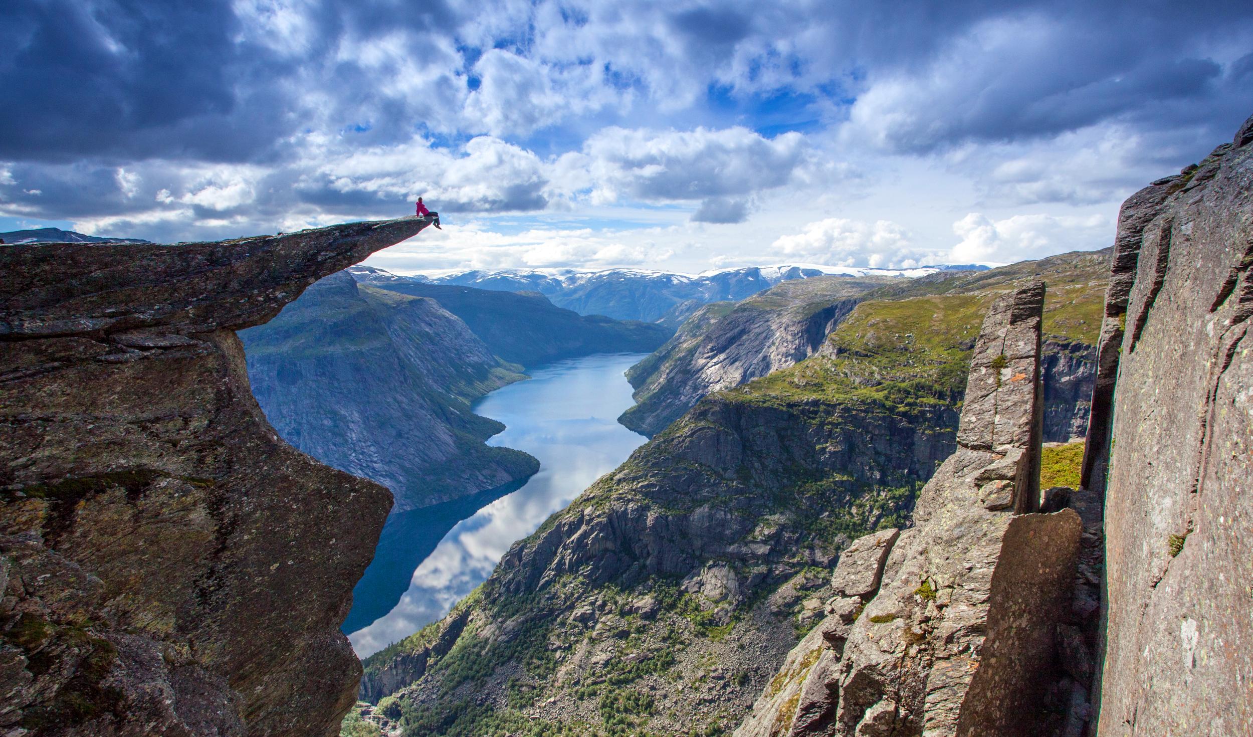 BuchenKinsarvik
Hardangervidda: four-day hike «Best in the West»
Kinsarvik-Husedalen-Stavali-Torehytta-Hårteigen-Tyssevassbu-Trolltunga-Skjeggedal This is a four day's hike taking you through the beautiful Hardangervidda West. On the route are the top attractions in the western part of Hardangervidda: Husedalen, Hårteigen and Trolltunga. Husedalen is a valley with four big waterfalls. Mount Hårteigen is the highest point in Ullensvang 1,690 masl (reaching the top of Hårteigen requires some climbing, and you have to decide for yourself if you are able to do this safely. Troltunga makes a good end to this route. If you only want a day trip to Trolltunga, read about it here. Season: July and August Time: First day: Kinsarvik-Stavali about 6-7 hours Second day: Stavali-Torehytte about 7 hours Third day: Torehytta-Tyssevassbu about 6 hours Fourth Day: Tyssevassbu-Trolltunga-Skjeggedal about 7-8 hours Lodges on the route: Stavali, 1024 masl. Self-serviced, all year open lodge. Caretaker there in July and August. Torehytta 1330 masl. Self-serviced, locked with the DNT key. Members of the Norwegian Trekking Association can order the key online. Tyssevassbu 1319 masl. Self-serviced, locked with the DNT key. Members of the Norwegian Trekking Association can order the key online. Buses: Skyss bus line 990 between Kinsarvik and Odda-Tyssedal. Timetable Skyss bus line 995 between Odda-Tyssedal and Skjeggedal. Timetable Taxi: Kinsarvik tel (+47) 97 57 26 04 Odda tel (+47) 53 64 14 44 Parking: Kinsarvik: next to the town hall (60.374771, 6.721917), or by the bridge crossing the river Vivippo (60.363347, 6.744060). Parking in Skjeggedal (NOK 200 per day) or Tyssedal (Tyssohallen NOK 100 per day) Map: Hardangervidda West, 1:50.000. Buy hiking maps at the local tourist offices, or order a map online, or by e-mailing the Norwegian Trekking Association at [email protected]. This is a hike in the Norwegian high mountains. What you need to know before hiking in Hardangervidda: In Hardangervidda you are in the wilderness. There are no shops, doctors, restaurants, ATMs, or telephones. You can be several days hiking from the nearest road. You can buy provisions and stay overnight the lodges operated by the Norwegian Trekking Association. You can pay by leaving a cash payment, or by filling out a payment form. In the staffed lodges you can pay by debit or credit card. Read more here. Hiking is possible when Hardangervidda is snow free, normally in July and August. Winter can come quickly and without mercy, even early in September. Do not put yourself and others at risk by hiking outside the season, or by not being properly prepared and equipped. Every year there are tourists who are rescued by local volunteers. Bring warm, water and wind proof clothing. The weather in the high mountains is different from the weather down by the fjords. Be prepared for low temperatures, also in the summer. Weather can change rapidly and unpredictably. It can be good weather down by the fjord, and be foggy and cold in the mountains. Always have a topographical map (in at least scale 1:100.000) and compass (and even a GPS). In Norway, even if a trail is marked, it can be difficult to see it, and a map and compass enables you to orientate. Be especially aware of fog in Hardangervidda, which is not a problem in lower areas. Buy hiking maps at the local tourist offices, or order a map online, or by e-mailing the Norwegian Trekking Association at [email protected] can also print you own topographical map (for free) in scale 1:25.000 or 1:50.000 by using an online map tool. The quality of hiking maps for sale is much better, as the paper quality is weather proof. The maps for sale contain more relevant information about marked trails, estimated time for the marked trails, mountain lodges etc. If you travel on a low budget and do not want to spend money on appropriate clothing and map and compass, it is best to take day hikes, see list of all our beautiful hikes here. Distances in the wilderness are given in time, NOT kilometers. Norwegian standard walking time is a fast pace. You will find this information given in hours in tour descriptions and in hiking maps. You need to add time to the standard walking time, and also add time for breaks. Which means that an 6 hour hike is really a full day's hike. An 8 hour hike is long day's hike. Be aware of height differences; 4 km in even landscape is very different in 4 km with an ascent of 1,000 meters! Downhill is just as demanding as uphill, especially if you carry a heavy back pack. If you plan to hike several days in Hardangervidda, you need to be physically fit for it. You have no access to electricity in the mountains; bring enough batteries. You use more power in cold weather. You do NOT have mobile coverage in the mountains, and NO access to internet. If something happens, you will most likely not be able to phone for help. It can be several days hiking to the nearest road. As a rule you can drink water in Hardangervidda, but there is no guarantee that it is safe. Be especially aware of the water in areas where many people go (like the trail to Trolltunga), and in smaller ponds. Take all waste with you. Nature in the high mountains is extremely vulnerable. Do not disturb animals and birds, do not destroy vegetation. From 15th April to 15th September making fire near or in woodlands is prohibited. If you fish in lakes and streams and rivers you need a permit from the land owner. Buy fishing permits online or at the lodges in Hardangervidda, or at the local tourist offices. Read this brochure before hiking in Hardangervidda. Useful links: About the NorwegianTrekking Association About the lodges/cabins How does it work at the cabins/lodges? Price list 2016 Way marking Planning tool Hardangervidda About maps What you need to know before hiking By map online Make and print your own map Safety in the Norwegian Mountains Kinsarvik
Hardangervidda: five-day hike
Kinsarvik-Stavali-Torehytta-Litlos-Hellevassbu-Haukeli This is a good multple days hike with many highlights. The first day takes you through Husedalen, the valley with the four big waterfalls. Mount Hårteigen, close to to Torehytta mountain lodge, is the most characteristic peak in Hardangervidda. (If you whish to climb to the top of Hårteigen you will have to decide for yourself if it safe for you.) Litlos is a beautiful place, known for good fiching. You can buy fishing permits at the lodge in Litlos. Hellvassbu is close to someof the highest peaks in Hardangervidda. Season: July and August Time: First day: Kinsarvik-Husedalen- Stavali approx. 6-7 hours Second day: Stavali-Torehytta approx.7 hours Third day: Torehytta – Litlos approx 6 hours Fourth day: Litlos – Hellevassbu approx. 5 hours Fifth day: Hellevassbu-Haukeliseter approx. 7 hours Lodges on the route: Stavali, 1024 masl. Self-serviced, all year open lodge. Caretaker there in July and August. Torehytta 1330 masl. Self-serviced, locked with the DNT key. Members of the Norwegian Trekking Association can order the key online. Litlos, 1180 masl. Staffed lodge in July and August Hellevassbu, 1167 masl. Self-serviced, locked with the DNT key. Members of the Norwegian Trekking Association can order the key online. Haukeliseter Fjellstue, 1000 moh. Staffed, all year open lodge by road E134. Buses: Skyss bus line 990 between Kinsarvik and Odda. Timetable NOR-WAY express coaches, line 180 Haukeliekspressen. Haukeliseter-Odda. Timetable Taxi: Kinsarvik tel (+47) 97 57 26 04 Parking: Kinsarvik: next to the town hall (60.374771, 6.721917), or by the bridge crossing the river Vivippo (60.363347, 6.744060). Maps: Hardangervidda West 1:100.000, or Hardangervidda West 1:50.000 and Haukelifhjell 1:50.000. Buy hiking maps at the local tourist offices, or order a map online, or by e-mailing the Norwegian Trekking Association at [email protected]. This is a hike in the Norwegian high mountains. What you need to know before hiking in Hardangervidda: In Hardangervidda you are in the wilderness. There are no shops, doctors, restaurants, ATMs, or telephones. You can be several days hiking from the nearest road. You can buy provisions and stay overnight the lodges operated by the Norwegian Trekking Association. You can pay by leaving a cash payment, or by filling out a payment form. In the staffed lodges you can pay by debit or credit card. Read more here. Hiking is possible when Hardangervidda is snow free, normally in July and August. Winter can come quickly and without mercy, even early in September. Do not put yourself and others at risk by hiking outside the season, or by not being properly prepared and equipped. Every year there are tourists who are rescued by local volunteers. Bring warm, water and wind proof clothing. The weather in the high mountains is different from the weather down by the fjords. Be prepared for low temperatures, also in the summer. Weather can change rapidly and unpredictably. It can be good weather down by the fjord, and be foggy and cold in the mountains. Always have a topographical map (in at least scale 1:100.000) and compass (and even a GPS). In Norway, even if a trail is marked, it can be difficult to see it, and a map and compass enables you to orientate. Be especially aware of fog in Hardangervidda, which is not a problem in lower areas. Buy hiking maps at the local tourist offices, or order a map online, or by e-mailing the Norwegian Trekking Association at [email protected] can also print you own topographical map (for free) in scale 1:25.000 or 1:50.000 by using an online map tool. The quality of hiking maps for sale is much better, as the paper quality is weather proof. The maps for sale contain more relevant information about marked trails, estimated time for the marked trails, mountain lodges etc. If you travel on a low budget and do not want to spend money on appropriate clothing and map and compass, it is best to take day hikes, see list of all our beautiful hikes here. Distances in the wilderness are given in time, NOT kilometers. Norwegian standard walking time is a fast pace. You will find this information given in hours in tour descriptions and in hiking maps. You need to add time to the standard walking time, and also add time for breaks. Which means that an 6 hour hike is really a full day's hike. An 8 hour hike is long day's hike. Be aware of height differences; 4 km in even landscape is very different in 4 km with an ascent of 1,000 meters! Downhill is just as demanding as uphill, especially if you carry a heavy back pack. If you plan to hike several days in Hardangervidda, you need to be physically fit for it. You have no access to electricity in the mountains; bring enough batteries. You use more power in cold weather. You do NOT have mobile coverage in the mountains, and NO access to internet. If something happens, you will most likely not be able to phone for help. It can be several days hiking to the nearest road. As a rule you can drink water in Hardangervidda, but there is no guarantee that it is safe. Be especially aware of the water in areas where many people go (like the trail to Trolltunga), and in smaller ponds. Take all waste with you. Nature in the high mountains is extremely vulnerable. Do not disturb animals and birds, do not destroy vegetation. From 15th April to 15th September making fire near or in woodlands is prohibited. If you fish in lakes and streams and rivers you need a permit from the land owner. Buy fishing permits online or at the lodges in Hardangervidda, or at the local tourist offices. Read this brochure before hiking in Hardangervidda. Useful links: About the NorwegianTrekking Association About the lodges/cabins How does it work at the cabins/lodges? Price list 2016 Way marking Planning tool Hardangervidda About maps What you need to know before hiking By map online Make and print your own map Safety in the Norwegian Mountains
Übernachten
Werfen Sie einen Blick auf die Hütten der Hochebene Hardangervidda und die historischen Hotels am Fjord.
 BuchenHaugastøl
Haugastøl 1000 moh
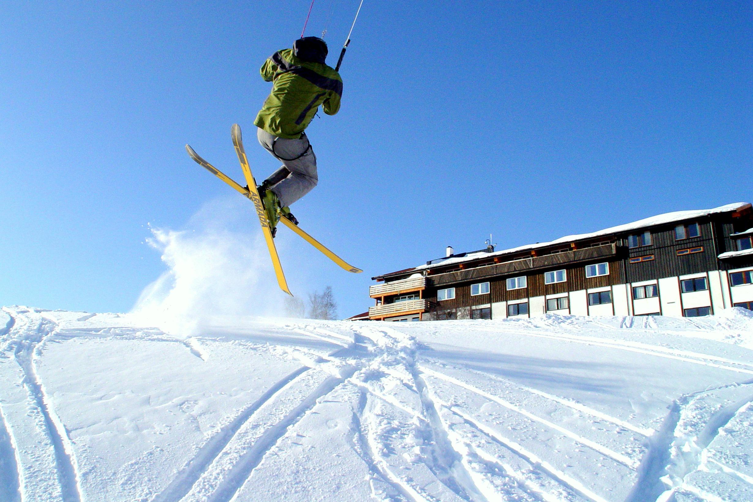
The family run hotel located in Haugastøl, 1000 meters above sea level, offers high quality accommodation, meals in our restaurant, coffee bar, bike-shop and rental and much more. We are located just on the edge of the largest highland plateau in Northern Europe with two national parks on our doorstep. - The Hardangervidda and the Hallingskarvet National Park. Situated at the start of Rallarvegen, and with the biggest mountain plateau in Northern Europe on our doorstep, Haugastøl becomes a natural choice to stop by. During the summer months we offer accomodation, bike rental for use on the famous Rallarvegen, as well as fishing and hunting possibilities. In the winter, we offer you accommodation, kitecourses and unique conditions for snowkiting. We are located only 24 km west of the ski destination Geilo, and only a few minutes away from the best spots in the world for snowkiting at the Hardangervidda. Kiters from all over the world choose to visit Haugastøl during the winter. Finse
FinseHardangervidda / Finse / Rallarvegen - Oksebotn Vokterbolig II
A fully equipped cabin located in the highlands. Both the mountain ridge Hallingskavet and the glacier Hardangergjøkulen are within reach for a day trip. Just off the popular cyclist road Rallarvegen, the property is a perfect base for skiers, hikers and cyclists. The cabin has two apartments that may be rented separately or together. Drop in is available in summer (July/August), and the rest of the year weekend/weekly rental will apply.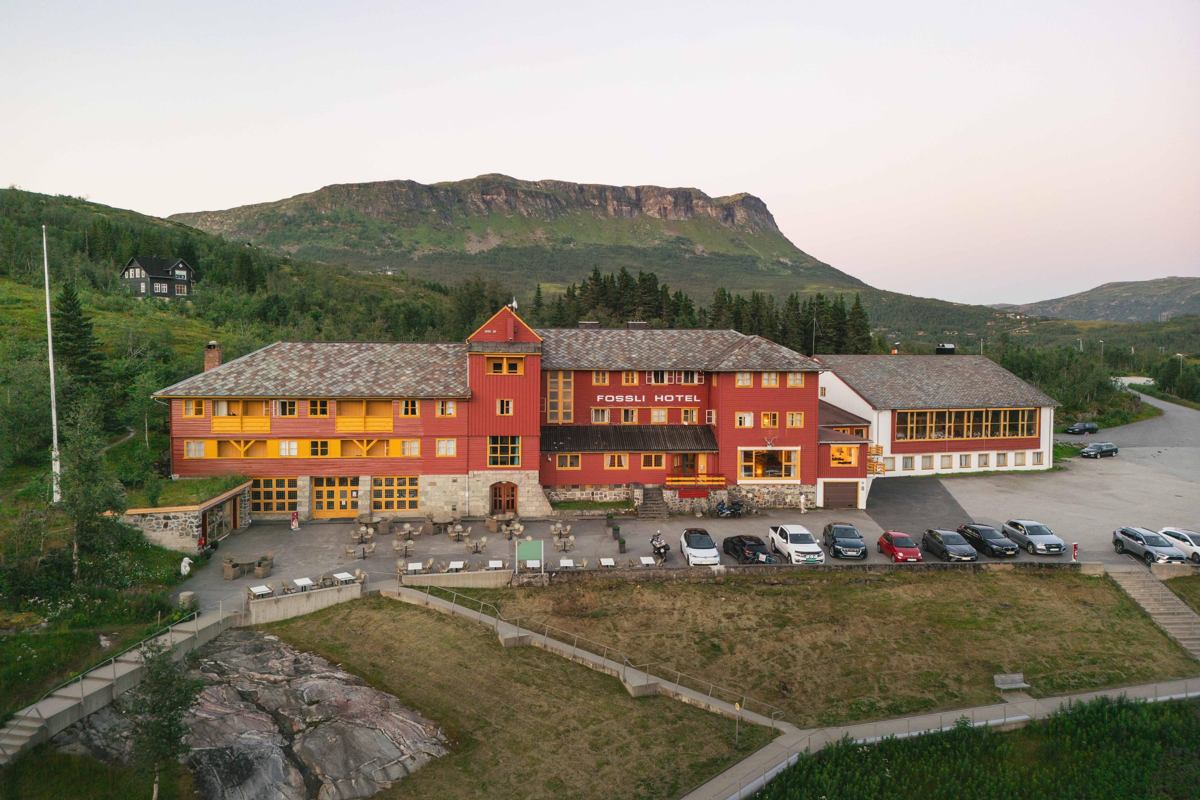 BuchenVøringsfoss
Fossli Hotel
Das Fossli Hotel liegt, mit fantastischer Aussicht über das Måbøtal, direkt am Aussichtspunkt über dem Vøringsfossen Wasserfall, am Rande der Hardangervidda Hochebene. Das Hotel wurde 1891 gebaut, 25 Jahre bevor es eine Weganbindung gab. U.a. Edvard Grieg war Stammgast hier.
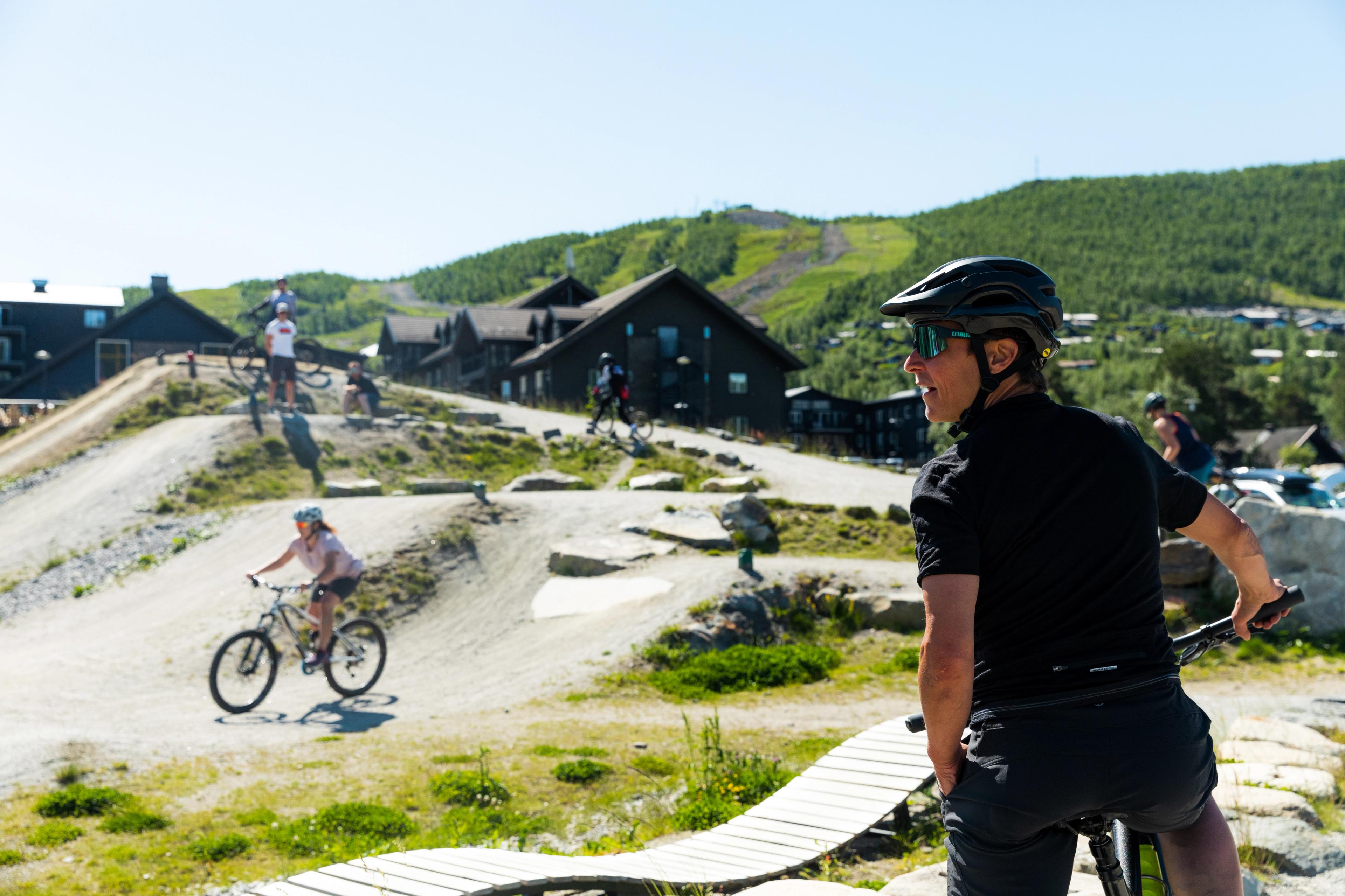
Wenn Sie das Gebirgsleben so richtig genießen möchten, fahren Sie nach Geilo – ein bei Norwegern beliebtes Ziel für Aktivurlaube! Hier können Sie Mountainbiken, Rafting oder Klettern ausprobieren.
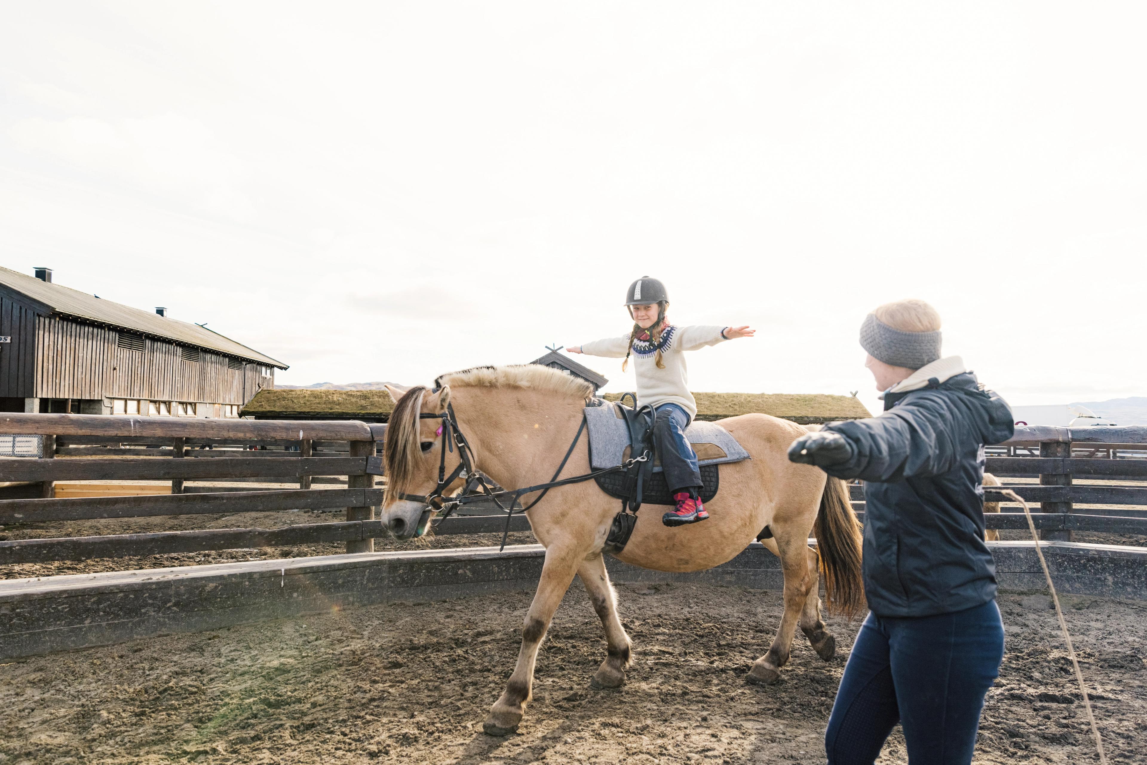
In der Region entdecken Sie im Sommer auch Ziplines, Kletterparks und Hallenbäder. Manche Aktivitäten sind in jeder Jahreszeit empfehlenswert, etwa das Reiten auf traditionellen Fjordpferden.
Erleben Sie Geilo
Finden Sie Aktivitäten für einen actionreichen Urlaub!
- Geilo
Nationalpark Hardangervidda - 10 Iconic Walks
Halne–Rauhelleren–Heinseter–Halne. Diese dreitägige Rundwanderung auf Nordeuropas größtem Hochgebirgsplateau ist ideal für alle, die neu in den Bergen sind oder kurze Etappen zwischen bewirtschafteten Hütten wandern möchten. Die Tour beginnt und endet mit einer schönen Schiffsfahrt über den See Halnefjorden. Länge: 38 km (15/16/7 km) Dauer: 4,5/4,5/3 Std. Schwierigkeitsgrad: Mittel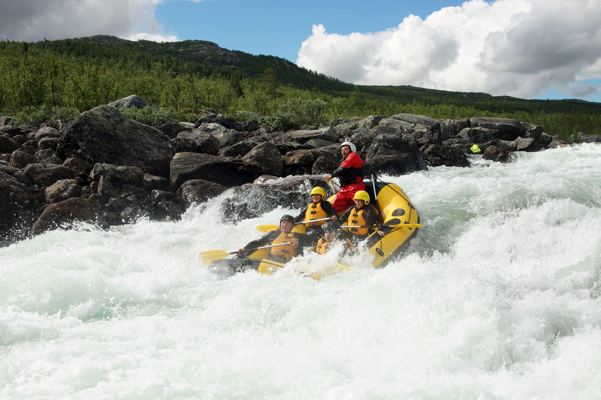 BuchenGeilo
Rafting - Dagali Fjellpark
Dagali Fjellpark is an adventure tourism company located in the center of Geilo. Full On offer rafting, canyoning, kayak school, tandem kayaking & accommodation for people who love an active lifestyle and experiences in nature. Lets share these spectacular canyons and rapids with your family, friends & company. After a day of activities you will want to unwind with a cool beverage and a warm soak in our wood fire hot tubs. Afterwards you will be invite you to stay in our brand new hostel. Large groups and company’s may also use a multipurpose area for events. Our guides have over 30 years combined experience of local knowledge about the mountains and rivers of Hardangervidda. Order your rafting tour and other activities at www.geilo.com. There are three diffrent companies in Dagali who will be able to offer rafting tours, see for all the prices, availibility and diffrent kind of tours by following this link.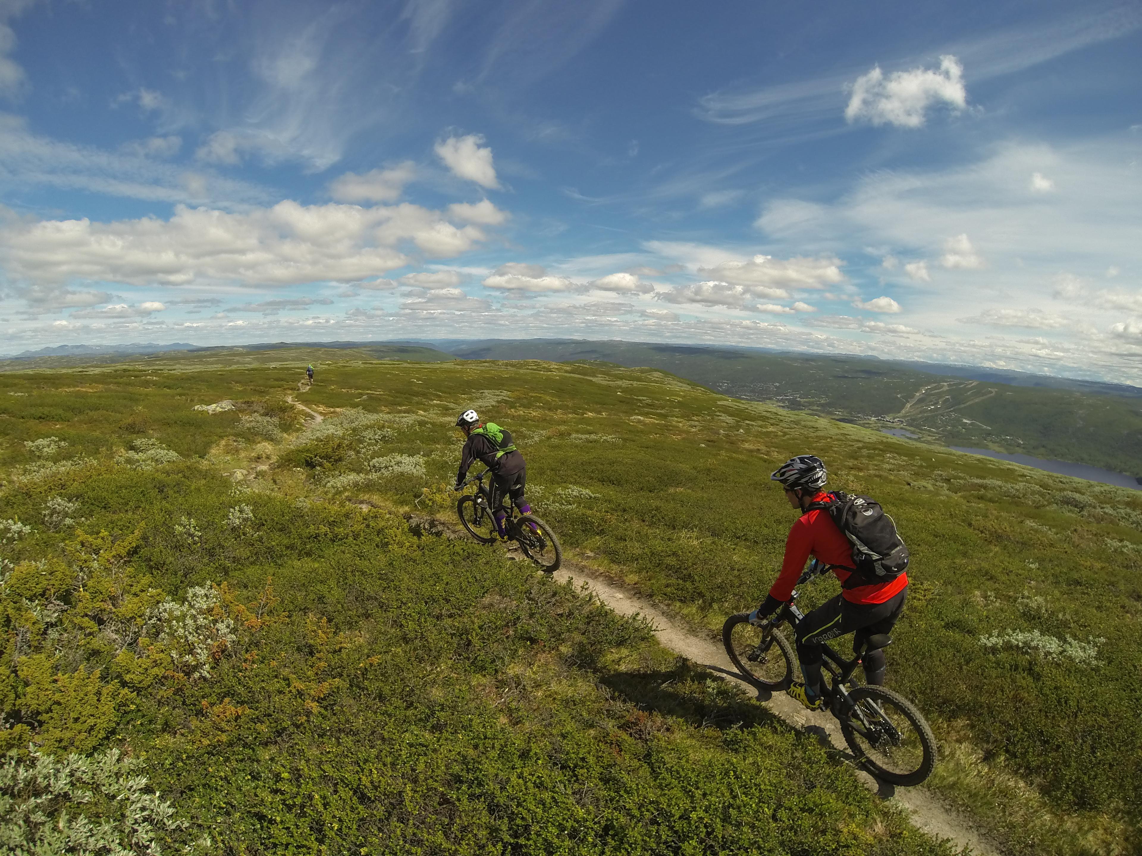 Geilo
GeiloUrundberget - Geilohovda
A varied mountain trail with little climbing, good flow, and a couple of technical/rocky downhill sections. Turn off RV7 at the exit to Bardøla Høyfjellshotell. Follow the road uphill toward Prestholt (toll road, NOK 80 if you drive in). Take the trail to Urundberget (about 200 meters past Skarvrandhytta) and continue out to the viewpoint. The trail is marked from there to Geilohovda. Distance: 3.6 km The trail is technical and narrow, and is best ridden in dry conditions. A full-suspension mountain bike is recommended.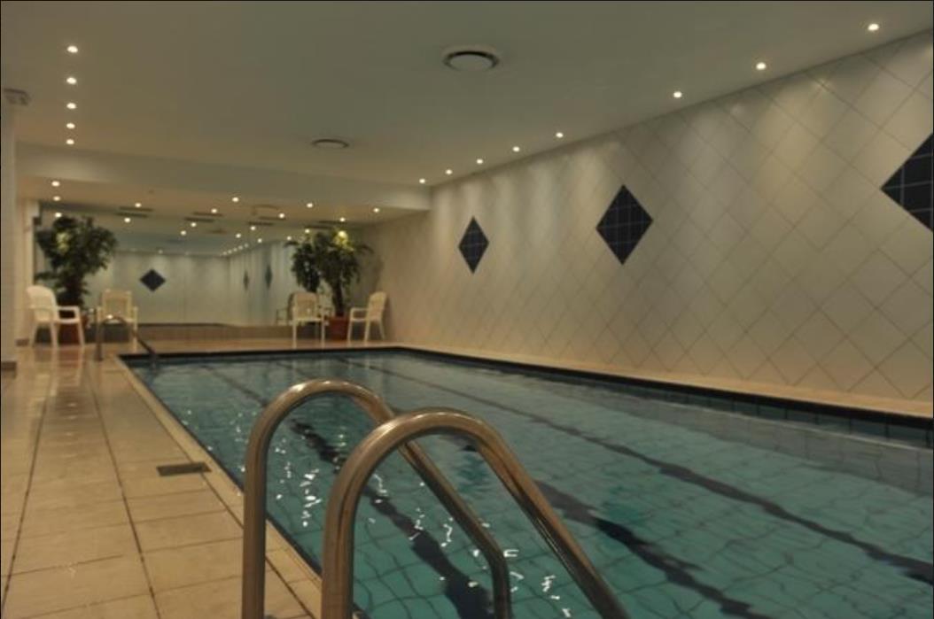 Geilo
GeiloSwimming pool - Ustedalen
In the swimming pool, both the sauna and the pool are at your disposal whether you want fitness, play, relaxation and relaxation. The swimming pool at Ustedalen Hotell & Resort is open every day from kl. 08.00 - 20.00. Temperature in the air: 30 degrees. Temperature in the water: 27 degrees. Minimum depth of 90 cm and maximum depth 160 cm.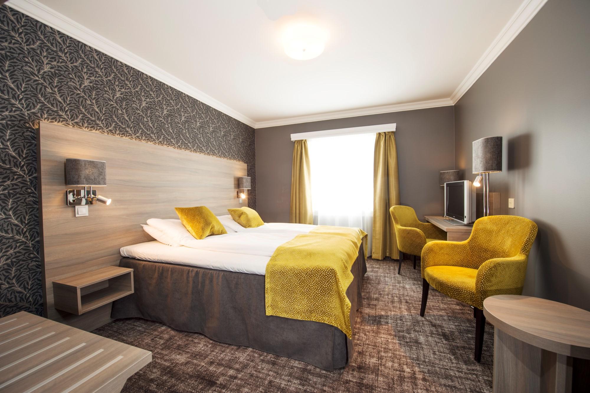 BuchenGeilo
Dr. Holms Hotel
Dr. Holms Hotel has been a source of recuperation, comfort and well-being since the beginning of the 20th century. Dr. Holms Hotel has 127 rooms: 11 single rooms (12 -20 m2), 11 family rooms (35 m2) , 3 suites (35 m2) and 100 double or twin rooms (20-25 m2). None of the rooms have king size or queen size bed. The rooms in Dr. Holms Hotel are uniquely appointed. If you prefer the romantic, English style, you would enjoy the classic atmosphere of the original section of the hotel. If you are attracted to the modern and minimalist style, enjoy the clean simplicity of our bright decorated rooms in the modern section. Dr. Holms is situated in the heart of the beautiful mountain scenery, and is a starting point for inspiring and exiting adventures. Geilo is a vibrant mountain village, situated 800 meters above sea level, between the main cities of Norway; Oslo and Bergen. North Europe largest mountain plateau, Hardangervidda, sets the scene for great experiences of the Norwegian high mountain landscape. Great memories all year round: Winter - Geilo is Norway's most traditional skiresort, having been a touristdestination for more than a 100 years. Our long history and well organized infrastructure, benefits our guests greatly, and makes Geilo a unique place. Summer -The beautiful nature and the varied activities in Geilo offer excitement all year round! Exchange your skiis for hiking boots or a bicycle, bring a fishing rod and binoculars. And dont forget your camera! Experience beautiful scenery, wild animals, the colours of nature and frest air. Horses, tranquil canoeing or rafting on chirling rivers. The Geilolia Lift takes you to the top of Geilo - a fantastic starting point for hiking.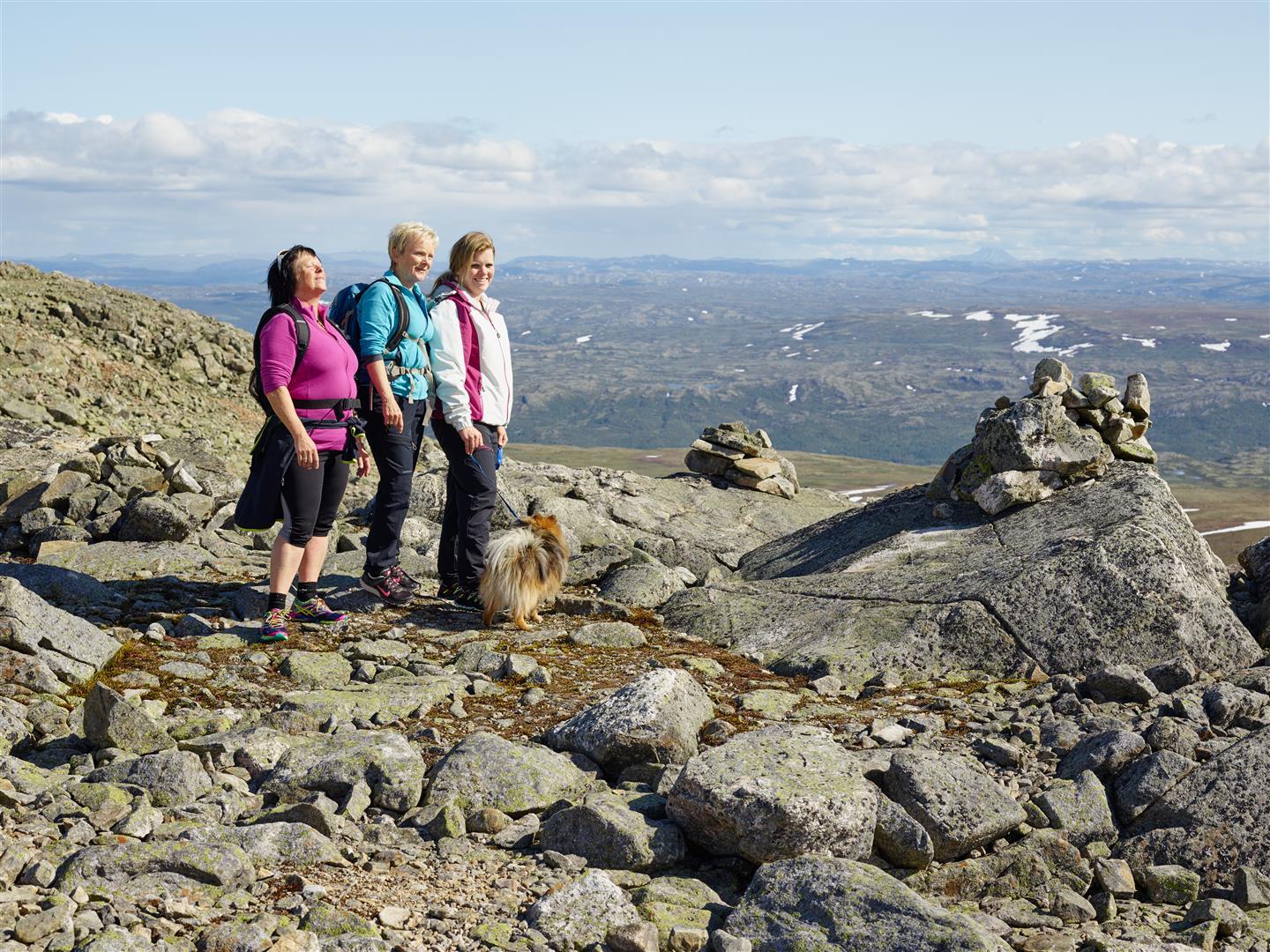 Geilo
GeiloPrestholt tour at Hallingskarvet
Hallingskarvet / Prestholt Round This round tour starts with the famous stairs and leads you to a viewing point with Skarvsenden. Totall distance 6,5km Season: July, August, September and October At the foot of the mighty Hallingskarvet mountains, and at the entrance to the Hallingskarvet National Park, lies Prestholtseter. The stone steps up Prestholtskaret makes the summit trip a pure joy. The steps are laid with the expert help of Sherpas from Nepal. The Prestholt Round is approximately a 2-hour trip of 6.5 km. This is a great scenic hike, whether one chooses to experience the sunrise, morning light, dusk, or perhaps the sunset. A road goes in to the Prestholtseter from Geilo. The most fit can start the trip from the center of Geilo, follow the Pilvegen road up to Geilohovda, and further westward passed Gullsteinhovda and Urundberget. The Prestholtrunden loop is probably the most popular hike in the Geilo area. The trail leads into the Hallingskarvet National Park and reaches its highest point at Skarvsenden, 1,705 meters above sea level. There are fantastic views of the surroundings and to the west lies the Hardangervidda mountain plateau and Hardangerjøkulen glacier. The trail begins and ends at the Prestholtseter mountain café which serves traditional Norwegian dishes. The trail is steep in parts but a project, guided by Nepalese sherpas, to lay stone steps has made it suitable even for younger hikers. You will get a fantastic view over the valley and Hardangervidda at Skarvsenden from there the track is sign postet and climbs a bit higher, after the highest point the track follows back to the dirtroad along the way you will pass a hunting pit with information panel about trapping and hunting. This is a demanding tour! Be prepared with extra clothing and be safe in cloudy weater, just turn around on the stairs when the visability becomes less. There is a not sign postet track further to an even higher top Prestholtskarvet. Ensure yourselv you are able to do this and that you can navigate in this type of terrain. Recommendation: Even if it's a nice day, bring warm clothes as it can be considerably colder at the top than down at Prestholtseter. Reconsider hiking this trail in bad weather as the conditions can be very tough. Tips: Food and drinks are available at Prestholtseter café. You can find some Norwegian specialties like cured meats, sour cream porridge (rømmegrøt) and soft potato bread (lefsekling) Try the water from the streams along the route, it is very fresh. Turn by turn: The entire trail is very well marked and begins at the Prestholtseter café, about 200 meters from the parking lot. From Prestholtseter the trail, made of stones laid by Nepalese sherpas, rises almost 500 metres before reaching Skarvsenden at 1,705 m.a.s.l. The trail then turns east, descending gradually and passing an old hunting trap for wild reindeer, before looping back to Prestholtseter. Getting there: From July it is possible to drive to the beginning of the trail at Prestholtseter, about 10 km from Geilo. From Rv 7, turn on to Nye Havsdalsvegen by the Geilohallen sports center. After around 2 km, turn on to Havsdalsvegen road. This road is a toll road, so have some coins handy. Be aware of cyclists on the road, as well on the way down. They might have a higher speed than you! It's also possible to walk to Prestholtseter from Geilo. Follow the trail to Geilohovda (Pilvegen) and then continue west past Gullsteinhovda and Urundberget. Parking: There is a big parking lod with the cabin. For the GPX fil follow the link to geilo.com BuchenGeilo
Serious Fun Paintball
Paintball is for anyone who wants action and fun. Suitable for all groups, like friends, bachelor parties, company outings, class trip and others. The adrenaline rushes when you rush toward the flag. Will you be hit by others? Do you manage to hit your opponents? Who will manage to capture the flag and bring it back to their own base? To have fun with paintball, you should be a group of minimum 8 people. If your group is smaller, perhaps you can play against another group? One starts with the instructor handing out the suits, equipment, and informs about the equipment and safety. The instructor is available throughout the game, and makes sure that all the security rules and rules of play are followed. Kr. 400, - pr. person, including all necessary equipment, costumes, instructor and 200 balls. Extra box with 2000 balls costs kr 1500 -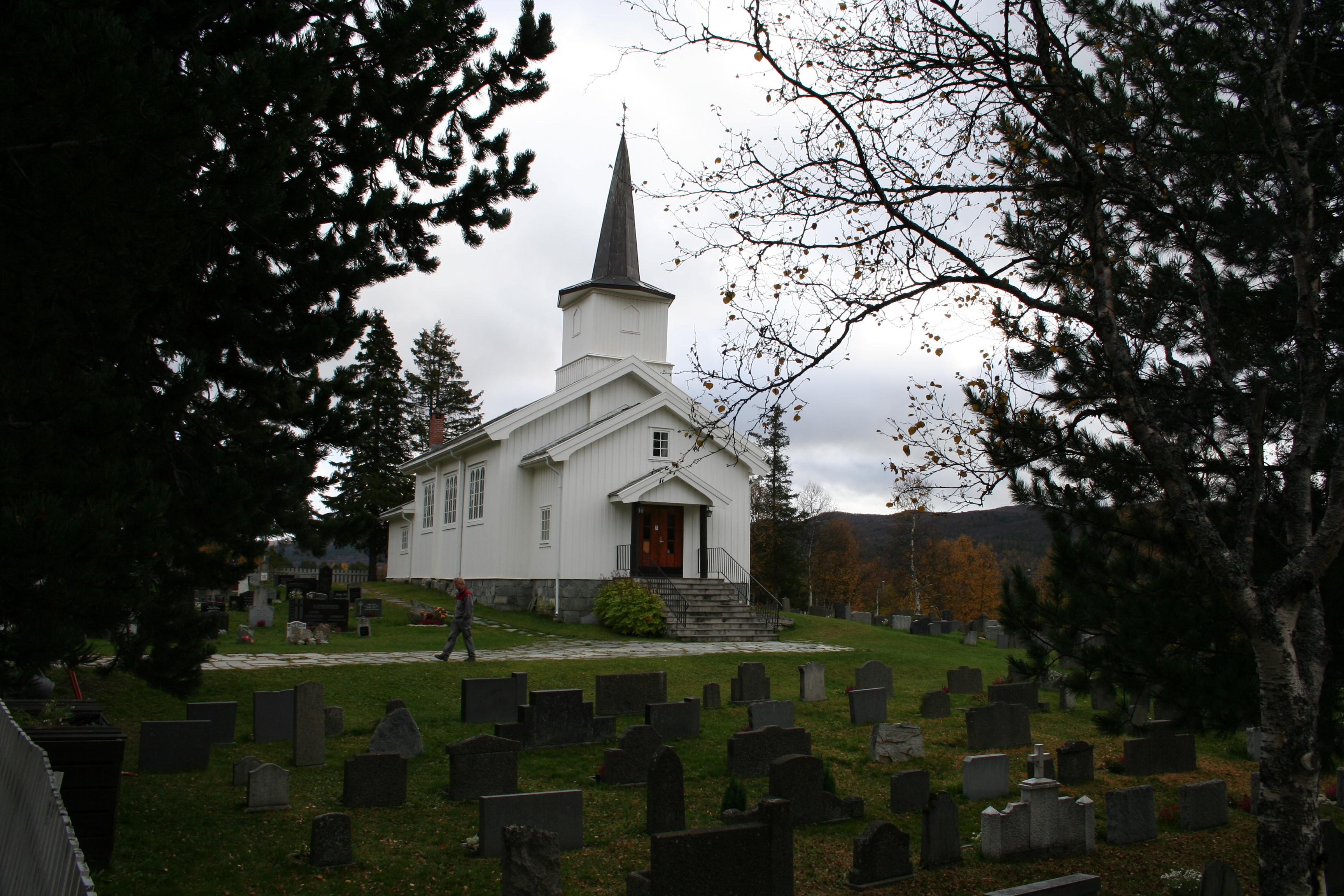 Geilo
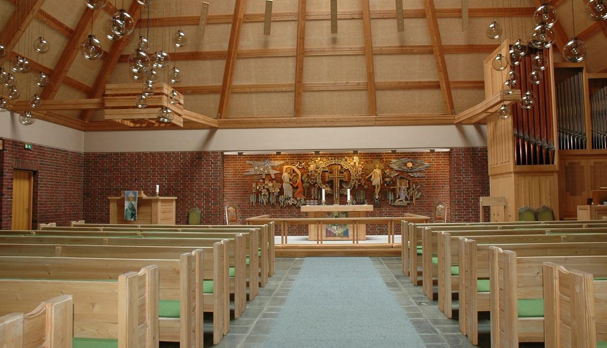
GeiloGeilo Kirche
Geilo Kirche ist die dritte Kirche in Hol, die über 100 Jahre alt ist. Die Kirche wurde von Bischof Essendrop an dem 4. Juni 1890 eingeweiht. Der Architekt war J. W. Nordan. Geilo Kirche ist eine traditionelle Holzkirche, und hat etwa 190 Sitzplätze. In 1958-60 wurde die Kirche umgebaut und restauriert. Die Kirche bekam dann eine größere Kirchenvorhalle, ein größeres Taufraum und Sakristei, Toiletten, und im Keller ein Bahreraum. Seit 1975 gibt es auch auf Bruhaugen einen Friedhof.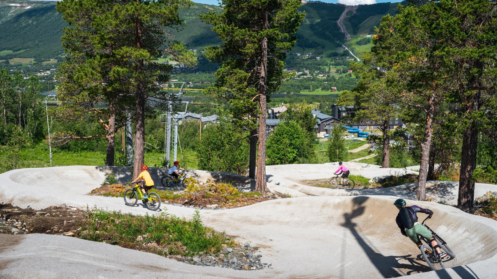 Geilo
GeiloGeilo - a biking paradise
Geilo is on its way to becoming a biking paradise, and boasts many great biking opportunities for the whole family, for beginners and experienced. In Geilo, you have the entire biking region, Hallingdal, at your feet. Bicycle rental Rent a bicycle for all purposes in Geilo. Everything from children´s bikes, electric bikes, trail bikes, mountain bikes and downhill bikes. Lift-Based Biking Geilo stands out once again on the map with lift-based biking. The offer opened in early July 2021 with Flow Motion at the forefront. Down the 4 km long path, with difficulty level blue, you will find cool 180-degree turns, moguls and jumps. Not only that, the popular trails Anakonda and Gold Digger, have also been upgraded! The lift is equipped with brand new bike racks, so eager enthusiasts and beginners can comfortably get up and set off downhill. Vestlia Bike Park The bike park below Vestlia Resort is a natural meeting and "hanging place" for the whole family or group of friends. Here it’s always fun and social and you will find asphalt pump tracks, 5 jump lines, and the entrance to several of the skill trails! Skill Trails Skill trails are incredibly fun, gravel trails with moguls, turns and tough elements. You will find several of these in the bike park, and when you come out on the other side, there are even more. The skill trails are well marked, and are all connected and accessible from the Ustedalsfjorden lake on the Vestlia side. In the autumn of 2021, 3 new trails were built! Bever’n! A little closer to the center, you will also find a skill trail that has a reputation for being a trail you will cycle over and over again! The Ustedalsfjorden Lake Round Time flies at the bike park, the skill trails and down the flow trails, but if you want a longer trip, the 10 km Ustedalsfjorden Lake Round is a great alternative. The Ustedalsfjorden is located midway between the valley sides, on the lower side of the center. You can easily get here from wherever you are in Geilo. Rallarvegen Just around the corner from Geilo starts the world famous Rallarvegen. Take the train from Geilo to Haugastøl or Finse to make shorter or longer bike tours. Whole year around biking During the winter months you can join a guided fat bike tour or rent one yourselv and explore Geilo while biking on snow. BuchenGeilo
Ski schools in Geilo
FOR EVERYONE - PRIVATE AND GROUP LESSONS At Geilo there are two ski schools. Increase your skiing skills and get better technique from professional instructors either in a group or one to one. Both ski schools offer private lessons, whether you want to learn to ski for the first time, or sharpen your technique to become a better skier. And they have group ski school, where you can have fun and learn with others at the same level. SkiGeilo Skiskole has weekend skiing for children between 6-15 years and Geilo Skiskole offers private ski and snowboard lessons for the disabled. Geilo
GeiloThe Geilotjødne Tour
Start in Geilo Fjellandsby by Kikutkroa, and travel down to Geilotjødne. Here you will find an amazing bicycle path with fine gravel and bridges over the streams. You can take a dive in the water to cool down on warm days, or try to fish with a license from the Geilo Jeger- og Fiskeforening. The Geilotjødne Tour is a nice short trip, suitable for the whole family, you can both bike, walk use a stroller or a wheel chair. Distance: 1 km, no cars. Surface: Gravel. Suitable for passenger trailers and short walks. Season is normally from the start of June to the first snow in October Tour description and GPX file Tip: Visit the Hakkesetstølen Fjellstue for a nice break and cuddle with the animals. BuchenGeilo
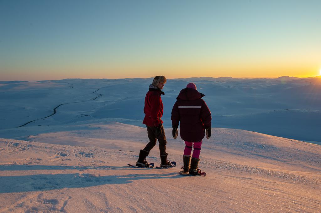
Snowshoeing in Geilo
FOR EVERYONE! It doesn't matter if you have no snowshoe experience - snowshoeing is something for everyone and is a great way to get out and enjoy the winter landscape. Whether you want to hike in untouched snow and terrain or on well-trod trails. The tours are adapted according to the desired speed, ascent, distance and length so that everyone gets a fantastic winter experience. If you would rather rent snowshoes, this is possible at Slaatta Ski Centre, Vestlia Resort and at the tourist information ofiice in Geilo centre as well as In Finse 1222 hotel with a possibility to explore Hardangervidda national park. At Geilo there are 3 skilled operators who conduct snowshoeing tours: Geilo Aktiv, Vinternatt and Slaatta Skisenter. Those tours you can not miss if you are keen to snowshoeing: - snowshoeing from Tuftelia to Urundberget ( 2,7 km ) - snowshoe tour to the Havsdals Stone ( 5,7 km ) - snowshoeing to Bruslettstølen ( 9,2 km ) - snowshoe tour from Finse 1222 to Lille Finsenut ( 2,4 km ) BuchenGeilo
Bowl & Dine - Dr. Holms
We welcome you to our Bowl&Dine at Dr Holm’s Hotel. Norway’s highest-altitude bowling alleys. Bowl & Dine is situated about 800 meters above sea level in breathtaking natural surroundings. We have created an authentic 50s-style American Diner replete with red leatherette seats, chrome and black-and-white checkered floor tiles. Connected to the Diner are 6 modern bowling alleys where we can promise you a wide array of exciting events and special offers for everyone - children, adults and seniors. Bowling: In order to play the highly enjoyable game of bowling no special prerequisites of any kind, whether it be physical fitness, skills or expensive equipment, is required. Simply stop by at the Bowl&Dine in Geilo with your friends or family for a social evening of great fun and entertainment.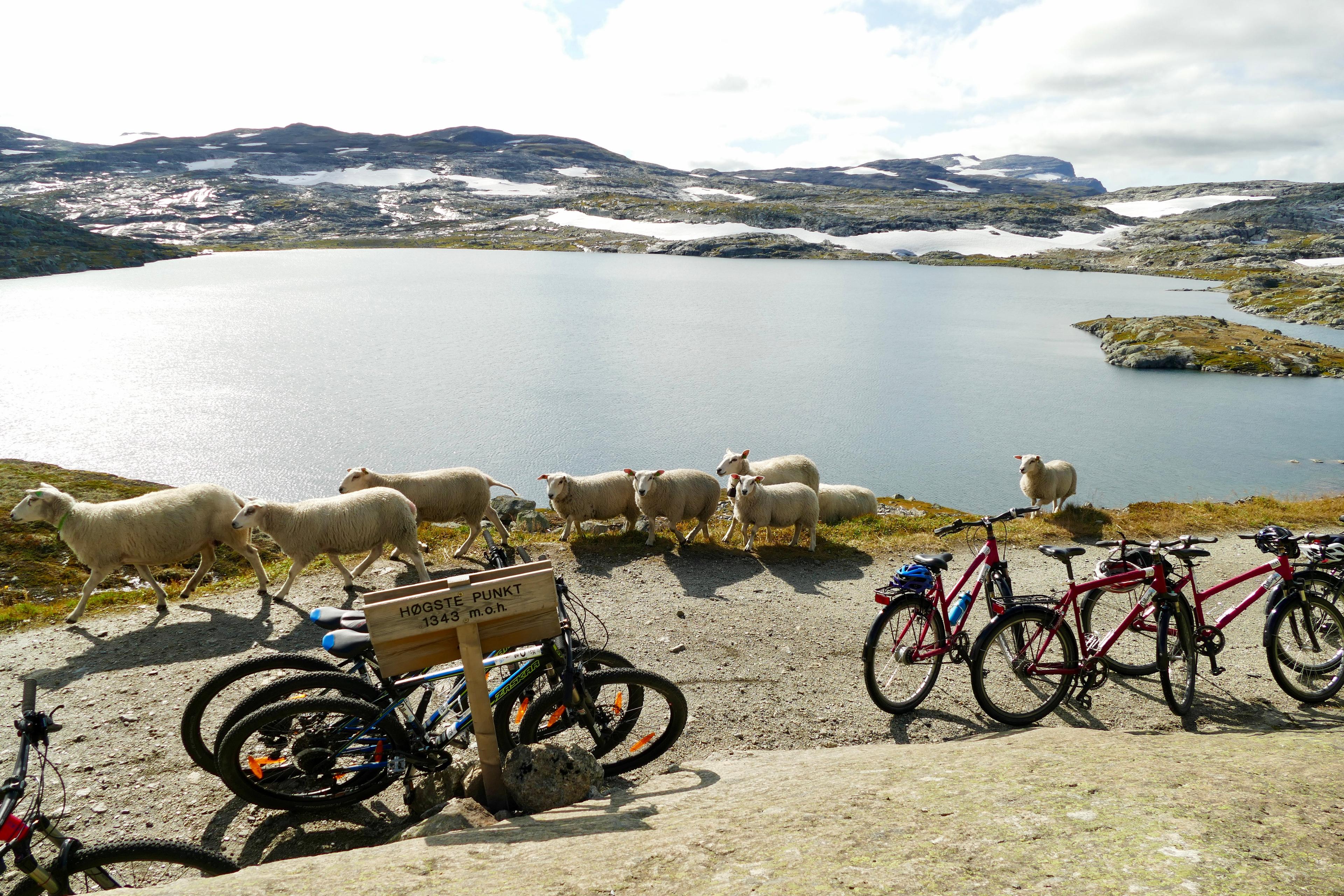 Geilo
GeiloRallarvegen
Rallarvegen – the navvy road – runs through a dramatic, lush and challenging landscape rich in culture, history and unique nature. The road was built by hand at the turn of the last century to transport equipment and food during the construction of the Bergen railway. Today Rallarvegen is one of Norway’s most popular bicycle routes and runs 80 km from Haugastøl – Finse – Hallingskeid by Vatnahalsen to Flåm. Along the way you can learn more about Finse, the Bergen railway and Rallarmuseet (the Navvy Museum) at Finse. You can add an extra 23 km by travelling east along highway 7 from Geilo to Haugastøl and from Myrdal to Voss. If you come from the west, you can continue into the mountains around Hallingdal. Because of the difference in altitude from Haugastøl, 988 m.a.s.l, through Finse 1222 m.a.s.l. Most people chose to take the bicycle train to Finse before returning to Geilo. Rallarvegen starts at Haugastøl and has a slight ascent up to Storurdi and Finse. Partly on rough surface (pebbles and gravel) the route runs west, slightly ascending up to Fagernut and then down to Hallingskeid. The road through Klevagjelet to Myrdal is steep and partly unsecured, so you should be careful and it is recommended to step off the bike. From Myrdal, by Vatnahalsen Hotel, there is a steep descent down the 21 road bends (Myrdalssvingene). From Kårdalen (summer dairy with Norwegian goat cheese) the last lap runs through the lush and dramatic Flåmsdalen down to Flåm. The train journey by Flåmsbanen is a highlight. The 20 km by train between the mountain stations Myrdal and Flåm by the fjord take about 55 minutes. Along the way you will see some of the most magnificent Norwegian mountains, with an ever-changing panorama of mountains and thundering waterfalls. The train runs slowly or stops completely to let the passengers enjoy the finest views. At Myrdal Flåmsbanen corresponds with the Bergen railway back to Geilo. Distance: From Geilo: 103 km. From Haugastøl: 80 km. If you wish to take your time and stop many times you should allow for spending 3-4 days. Accommodation is available at tourist cabins and hotel. However, it is also possible to cover the whole distance in one day. Surface: Fine gravel road Rent your bike at Haugastøl 1000moh! Geilo
GeiloFitness - Ustedalen
Fitness room and solarium Like to work out? No need to cut out during the vacation or during the conference you are on. At the pool and wardrobes you will find the entrance to our gym and solarium. We have great fitness equipment from the Fitness Agent. Here you will find rowing machine, bike, weights, treadmill and strengths for both the back, stomach, arms and neck and chest. Fitness room and solarium are open from kl. 8 am to 8 pm every day.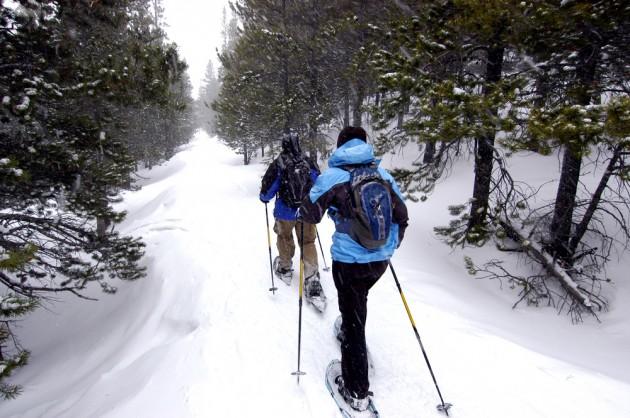 Geilo
GeiloSnowshoe - Vinternatt
Experience the Magic of Winter with a Guided Snowshoe Adventure from Vinternatt – Enchanting Nature, Campfire Atmosphere, and Local Charm Are you dreaming of a day immersed in nature, where the light dances between the trees and the sound of crisp snow crunches beneath your feet? Welcome to an unforgettable snowshoe tour with Vinternatt – a one-of-a-kind experience that blends pristine wilderness, traditional Norwegian food, and storytelling under the open sky. Why Choose Vinternatt and Hilde as Your Guide? Joining a snowshoe tour with Vinternatt is about so much more than just walking through the snow. It’s about experiencing nature with all your senses, led by a guide who not only knows the area inside and out but is passionate about sharing the authentic essence of Norwegian winter life. Your guide, Hilde Karlsen, is not only a certified wilderness guide but also a flamenco singer – a unique combination that brings extra warmth and personality to every tour. With enthusiasm, knowledge, and a deep love for the local landscape, Hilde takes you off the beaten path to hidden gems around beautiful Ustedalsfjorden and Ustaoset, where nature, culture, and history blend into a magical experience. Hilde shares her deep knowledge of local wildlife, interpreting animal tracks in the snow and pointing out constellations in the clear winter sky. You’ll hear local legends and stories – and if you’re lucky, Hilde might even surprise you with a song by the campfire. Accompanied by her two loyal Alaskan Huskies, Hilde ensures that you feel both safe and inspired throughout your winter adventure. More Than Just a Tour – A Complete Experience A guided snowshoe tour with Hilde offers far more than a scenic walk. It’s a complete experience, where local food, campfire coziness, and cultural storytelling come together to create unforgettable memories. The route follows gentle terrain, making it ideal for adventurers of all ages and fitness levels. Along the way, you’ll discover nature’s hidden secrets, learn how to build a campfire, and enjoy traditional Norwegian campfire cuisine prepared with local ingredients. This unique blend of knowledge, culture, and nature ensures you’ll carry these memories with you long after the snow melts. Why Choose a Guided Snowshoe Tour Instead of Going Alone? In the Geilo area, several companies offer snowshoe tours, but exploring with a knowledgeable, local guide adds a whole new dimension to the experience. With a guide, you gain: Safety and confidence navigating unfamiliar terrain, including frozen lakes and forest trails. Insight into local nature and cultural history that you would miss on your own. Access to hidden natural treasures, such as secret animal tracks, scenic viewpoints, and the best spots to experience the silence of winter. Authentic campfire moments and meals, with storytelling and ambiance you can’t create alone. A personal connection to local culture – Hilde from Vinternatt shares not just facts, but her passion for nature, traditional food, and the living cultural heritage of the area. An Adventure for Everyone Vinternatt’s magical snowshoe tour is perfect for families, groups of friends, and couples looking for a unique winter experience. No previous experience or special fitness level is required – the focus is on enjoying and experiencing, not performing. Whether you’re traveling with children, your partner, or friends, this will be a highlight of your trip. Practical Information & Booking The tour lasts approximately 3 hours and includes snowshoes, a traditional campfire meal, and a local guide who shares knowledge, warmth, and unforgettable memories along the way. For more information and bookings: [email protected] Welcome to an experience where nature, food, culture, and authentic local charm come together – join Vinternatt’s guided snowshoe tour and bring the magic of Norwegian winter home with you! What's included Snowshoes Poles Headlamp Campfire snacks Hot drinks What to bring Warm clothing Very warm shoes Gloves A wool hat Geilo
GeiloNationalpark Hallingskarvet - 10 Iconic Walks
Diese Gipfeltour von Geilo zum Prestholtskarvet ist ein waschechter Nationalpark-Klassiker. Sie fahren mit dem Auto zur Alm Prestholtseter, wo Sie sich mit hausgemachter Almkost stärken können. zur Fuß geht es auf der einzigartigen Steintreppe aufwärts, die in nepalesischer Handwerkstradition gebaut wurde, bis zum Gipfel auf 1.859 m Länge: 3 km Dauer: 2 Std. Schwierigkeitsgrad: Mittel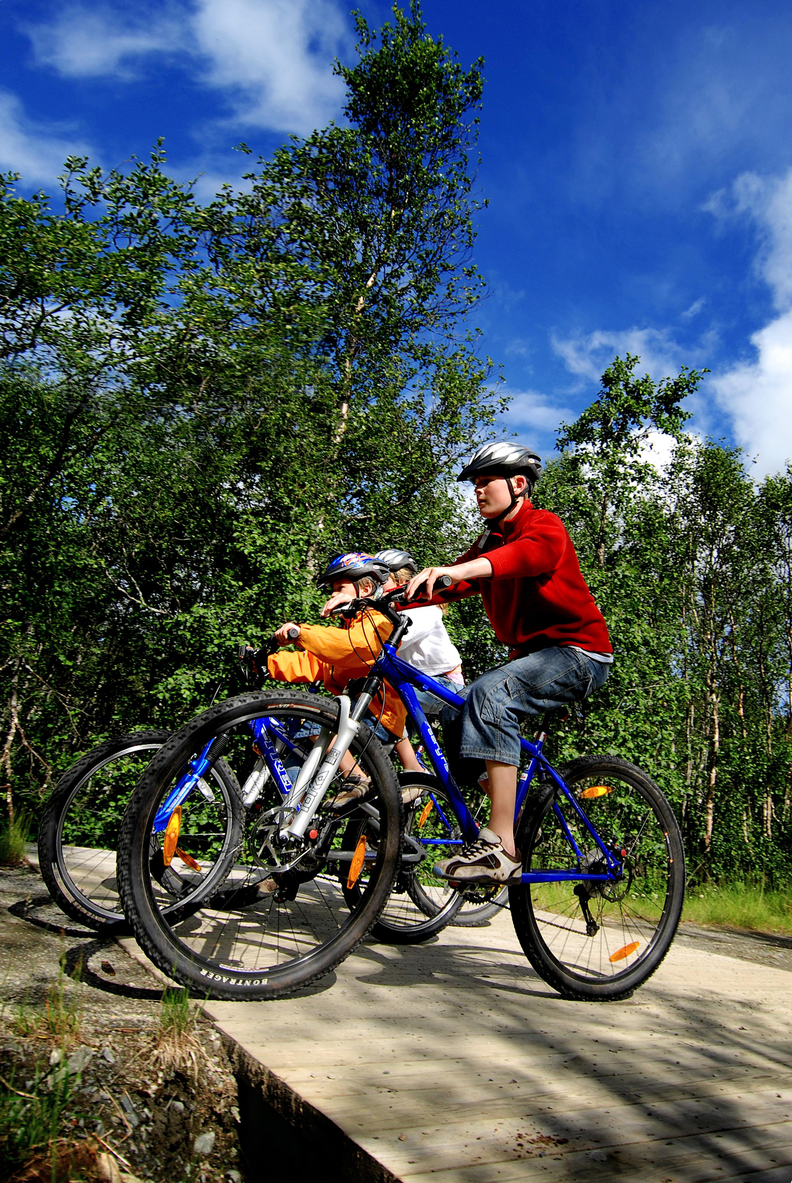 Geilo
GeiloThe Hallingdal Route
The Hallingdal Route runs from Geilo to Nesbyen, a 77 km distance through fairly easy terrain. It is part of National cycle route no. 4, which connects Bergen and Oslo. Geilo - Ål (28 km), day 1 The first lap descends 330 metres and is relatively easy with mainly downhill terrain. Before starting the descent down to Ål, we recommend taking detour around Ustedalsfjorden (10 km). This will take you past several cultural attractions, including Fekjo Culture Monument Park, Tuftebrui and Geilojordet (local museum). From Geilo to Ål you will travel through a tranquil forest until you reach Kleivi, and then along the charming Strandafjorden. At the end of the fjord there is a beach suitable for the whole family, highly recommend for a rest and a swim. In central Ål you will find a variety of shops, and Gallery Syningen, the Rolf Nesch Museum, the Hallingrosa exhibit, a tourist office, a library and a cinema. Ål - Gol (29 km), day 2 Lap two from Ål follows an asphalted road with little traffic to Gullhagen where you will cross the river. The trip continues on good gravel roads past Torpo to Rotneim. The last 6 km to Gol you will travel on the asphalted bicycle path along highway 7. Along the way you can take a detour and visit Torpo. Here you will find Torpo stave church from 1160, a grocery shop and a bicycle repair shop. When you reach central Gol you can visit Tropicana Badeland (water park), Oline SPA, the Medieval Park with Gol stave church, Hallingglass, Skinnfellmakern, Gol Motor and Fritidspark (activity centre) – or simply have a look in some of the many shops. There are also several restaurants and cafés. Gol - Nesbyen (20 km), day 3 The last lap runs through central Gol, past the station and along a charming gravel road running along the river Hallingdalselva. About halfway the gravel road ends and you will follow the asphalted old road to the station in central Nesbyen. Between Svenkerud and Nesbyen you can take a detour to Gardnos Meteorite Crater where you will see how a meteorite shaped the landscape many thousand years ago. Scenic trail and guiding available. In Nesbyen you can visit Hallingdal Museum, an large open-air museum. This is also a nice place to eat your packed lunch. Old Nes (the old town) is also worth a visit. When the time comes to leave, you can take the train from Nesbyen. Distance: 77 km. If you wish to take things slowly, you should allow for 3 days Surface: Fine gravel road For map, hight profile a bigger description of the route and alternatives, look at Outdoor Active. BuchenGeilo
Hiking
In Geilo, you will find hiking trails that are suitable for everyone, with a panoramic view of the Norwegian mountains. Here, you can pick nature experiences from the top shelf. Take the shortcut to the Hardangervidda plateau with the chairlift up from Vestlia, or take an electric bike up to the foot of the Hallingskarvet mountains and go to the top, or enjoy yourself around the Ustedalsfjorden lake, within walking distance from the village center. There are so many possibilities in Geilo! A couple of hours of close contact with nature is an exciting journey for young and old people. The longer trips offer elevation, mountain lakes, silence, and as many kilometers as you want to register on your training app. Rest areas and cabins, which offer a well-deserved break and food, are the reward that awaits those who reach their goal. Hiking works as therapy for body and soul, so let yourself be inspired by the mountain's play of colours, silence, and the views that appear around every corner. Enjoy good food and drink on your return, and feel how well the mountain takes care of you. Check out our recommended trips Summer Lift In summer, the chairlift at Vestlia takes you to the top of the mountain. A perfect starting point for short and long hikes into the mountains. Already 1.5 km into the mountains you will find the Hakkesetstølen service cabin, and several nice hiking opportunities. Tip! Take the round trip of about 8 km from Hakkesetstølen to Birgithovda - perhaps Geilo's very best view? BuchenGeilo
KiDs SKi fUN with Slaatta
Join one of our instructors for a fun and exciting KiDs SKi fUN! Let’s have fun skiing, together with friends, siblings, and other children. We explore the ski area in Geilo and will look for the best slopes to ski. We ski forest trails, terrain waves, slalom gates and for those who like, we will ski jumps and rails in the snow park. Here, it's all about having fun, while skiing in a safe environment. You get the chance to meet other children, improve your skiing and above all - We will have fun! We also take a well-deserved break at SlaattaStugu with a hot chocolate and home-baked Slaattabolle. This is included in the price. Information: Duration: 80 min Age: From 5-10 years No. of participants: Minimum 3 for start of activity Please bring: Ski pass and ski equipment (not included). Also clothes/goggles, etc (suitable for the conditions). Important info for parents: Make sure that the child has been to the bathroom and has eaten before attending the lesson Meeting place: Slaatta, Geilo (Timrehaugvegen 34, 3580 Geilo) Contact information: Geilo Skiskole +47 32090370 or [email protected] Slaatta Skisenter Slaatta Skisenter stands for cosy and family-run, where service and personal contact is very important. Slaatta Skisenter must be one of the best places for children, families and new beginners. Slaatta is a complete ski centre with ski slopes, ski service and ski rental, Geilo Ski school which offers weekly activities for all ages, and both group courses and private instruction is based at Slaatta Skisenter, and at Slaatta Stugu cafe on the second floor you can get home-cooked food in a relaxed atmosphere.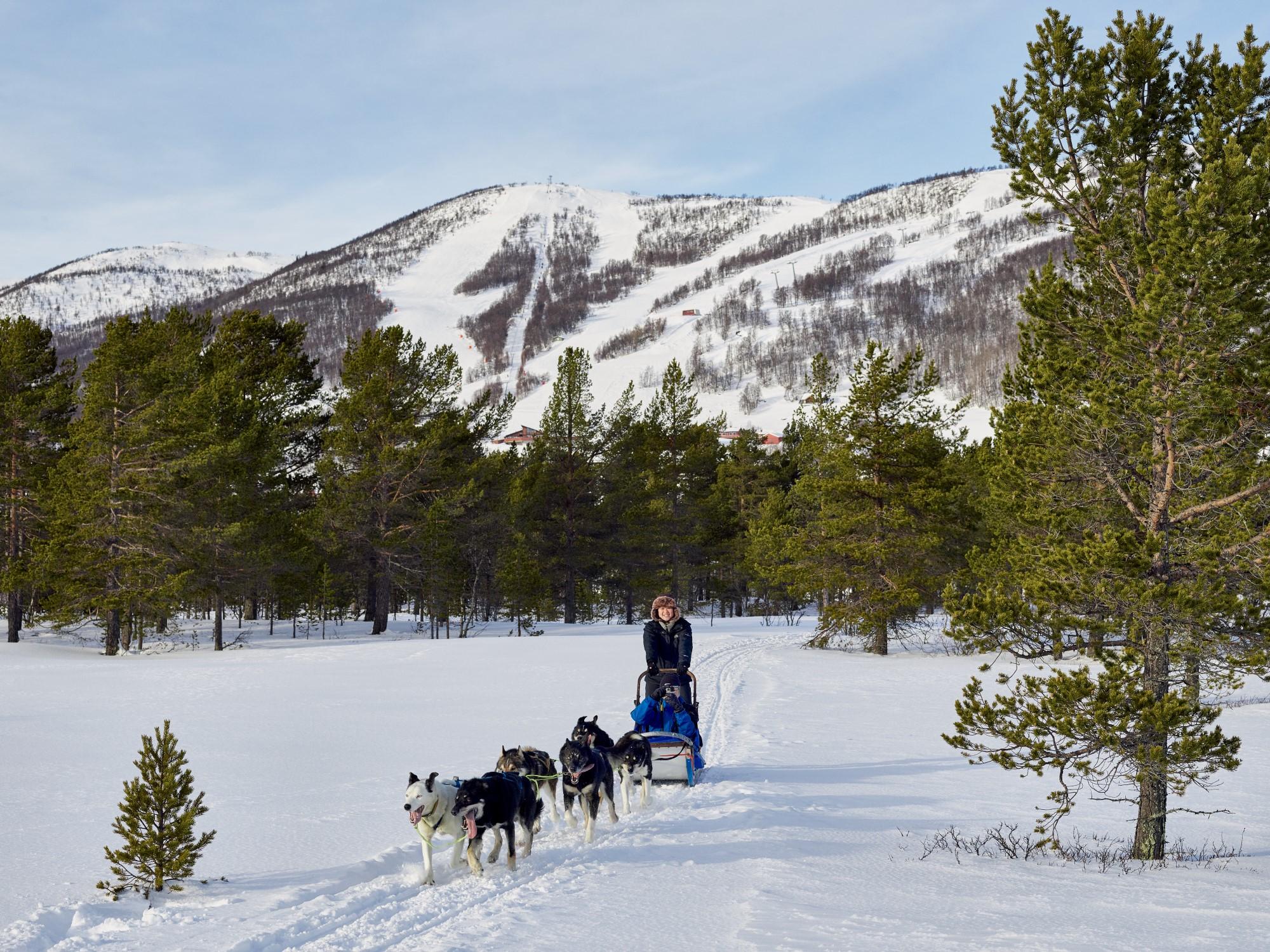 BuchenGeilo
Geilo Husky
Who said dogsledding is only something for the wintertime? Think again and join the Geilo Husky all year around. WINTER Within walking distance (or use the skibus to Vestliaheisen) from the center of Geilo, we have a pleasant camp and trails that go through the forest and over the Ustedalsfjorden. If you want a small taste of what dog sledding is, you are welcome to drive your own dog team. This is suitable for the whole family! One person sits in the sled and the other stands behind, if desired, it can be switched halfway through. There are short tours in Geilo center from both a 5km trail and a 10km trail. When the weather improves in the spring, tours are organized on the Hardangervidda. See an overview of all husky tours and book online at GEILO.com Clothes Normal skiing gear is great for dogsledding. Proper winter shoes, a good hat and gloves are important. Goggles and something to protect the face can be good to have on cold/snowy days. SUMMER In summer you can visit the kennel in Skurdalen (20 minutes by car). Here you can enter the kennel and have fun with the puppies and the other dogs. You will hear a lot of information about life as a dog handler and training plans for the dogs who compete at international level. When autumn approaches, you can book a trip as bare-marks training. All tours must be pre-booked online at geilo.com. Clothes We recommend that you wear clothes that can get dirty, if you are taking part in bare-ground training, something windproof is very advisable, and preferably a hat or gloves. Safety and insurance Geilo Husky give instructions to all the guests before the trip and there are always an experienced dogdriver/guide with the guests on the first sled. Dogsledding is not a high-risk activity, but like everywhere else accidents can happen. Geilo Husky has insurance for accidents where we are to blame, but it is important that all our guests also have their own travel insurance. We believe in giving the real experience! It is important for us to give the guest a real taste of our dog-life. We have a lot of different dogdrivers working for us, everyone are experienced and all our dogs are trained for competitions and expeditions – no one have dogs just for driving tourists. Dog welfare are of course one of the most important aspects of our business. Teaching guests about the dogs, the competitions and expeditions and how this is a lifestyle, is a big part of the experience, next to see beautiful nature, meet happy dogs and do something completely different. Find your dogsledding-experience or other unique experience there at geilo.com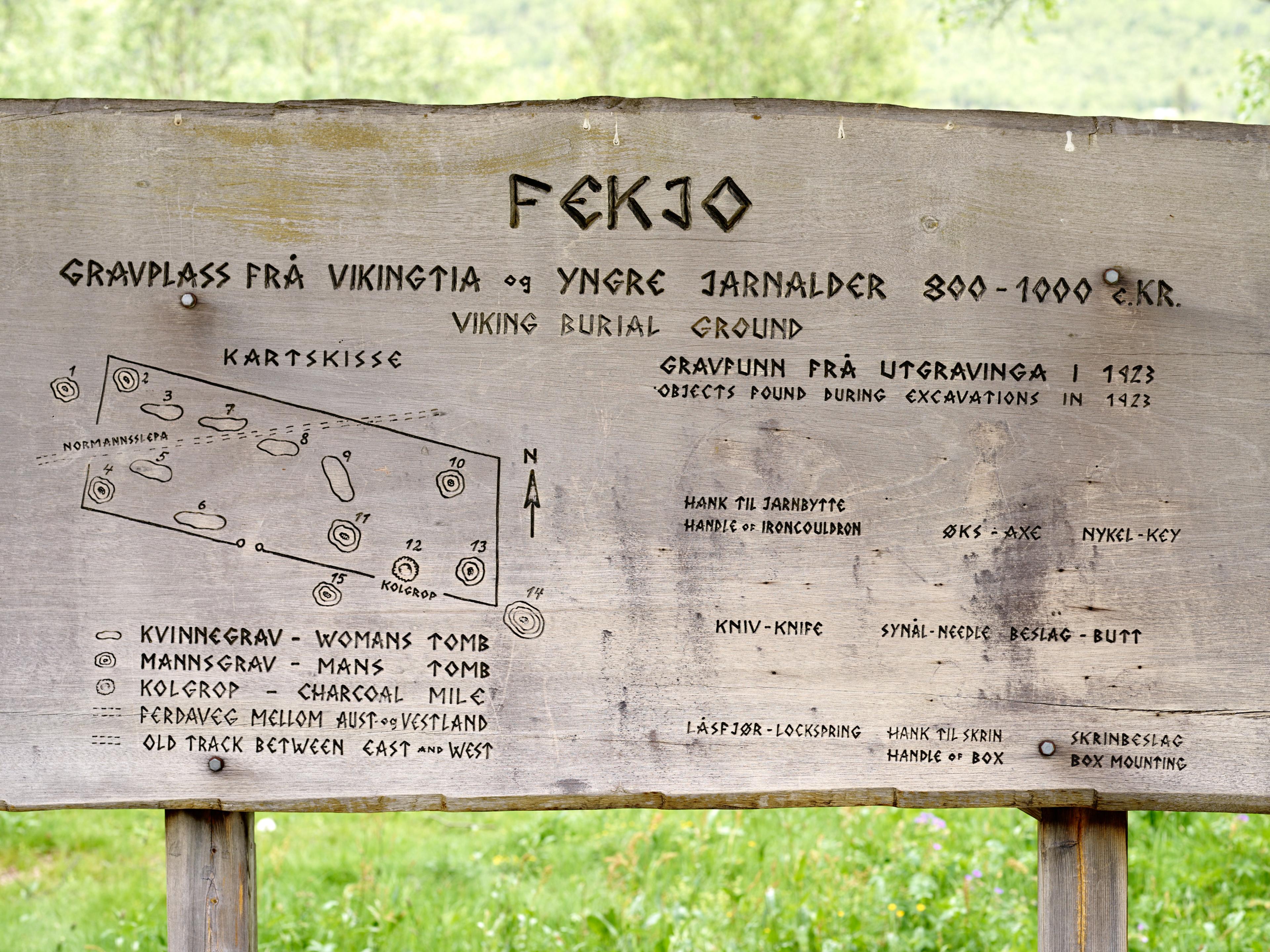 Geilo
GeiloFekjo cultural heritage site
In Fekjo cultural heritage park there are many cultural relics from the prehistoric and historic times. The burial mounds in the area is from the Viking Age. We know this because 10 of the approximately 20 burial mounds were investigated in 1923. Items that were found in some of the mounds were all from 900s, ie Viking. Among the findings was a small ax blade of iron, a sewing needle and key to a casket. It is interesting that most of the investigated barrows were female graves. The hiking trail of Ustedalsfjorden Round is going through this area, so it is easy accessible by foot. Coal pits Within the Cultural Heritage Park was registered 7 coal pits and ironworks. Today there are only a few coal pits left and the ironworks plant is gone. The charcoal which was made in the pits, were either used in iron production or in the smithy on the farm. Throughout Ustedalen there has been an unusually high activity in iron production from both Viking and medieval times. The many coal pits and ironworks plants show that it was made more iron than was needed locally. Iron was probably an important commodity for people in Ustedalen in Iron Age and Middle Ages. Haybarn At Fekjo there is an old hay barn and a barn. Until approx 80 years ago it was a mountain farm here. After mowing, hay was stored in the barn before it was driven to the farm with horse and sleigh in winter conditions. An old stone fence in the park is probably a distinction between hayfields and pastures. Switched operation and grazing on Fekjo made an open landscape. After stiff operation ended, overgrown area gradually more and more again and another vegitasjonstype took over. In the heritage park one is seeking to lead the area back to the old culture landscape by cutting the grass and by letting sheep graze in the park in spring and autumn. In Fekjo cultural heritage park you can also experience exciting landscape art. There is a small parking lot adjacent to Fekjo Cultural Heritage Park, and driving west to Tuftebruvegen is not permitted. It is recommended to use Fløtagutu, or park by Highway 7 and walk via the cabin roads down to Fekjo. Please respect the area, no camping on the parking, please.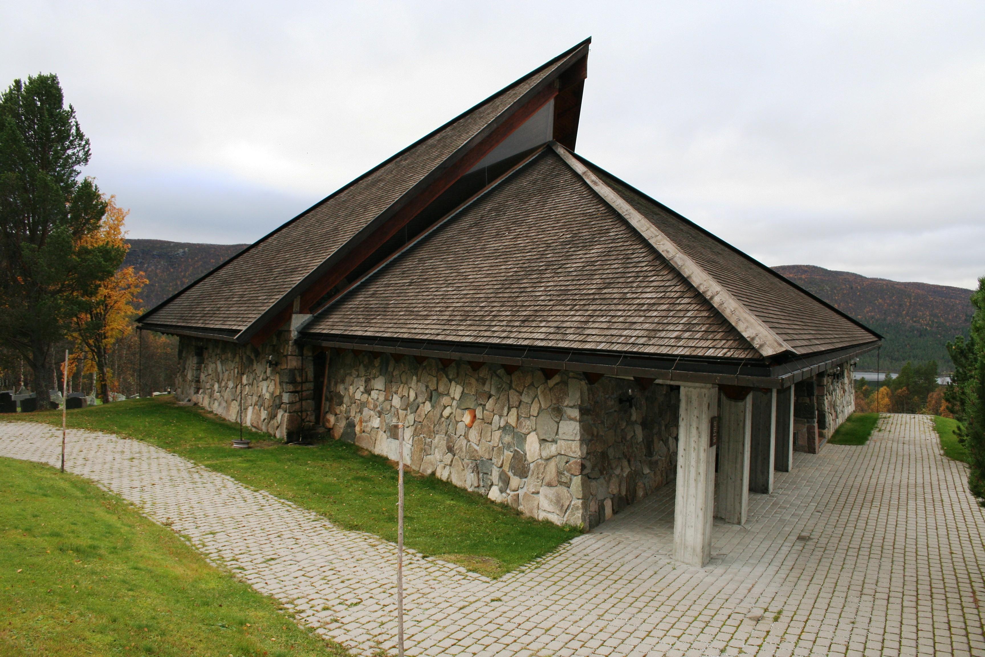 Geilo
GeiloSkurdalen Kirche
Die Kirche in Skurdalen ist am 7. September 1969 von Bischof Dagfinn Hauge eingeweiht worden. Die Kirche hat eine dreieckige Grundfläche, und ist aus Holz und lokalem Stein gebaut worden. Die dreieckige Form ist ein Symbol von der Heilige Dreieinigkeit. Das Altarbild ist von Victor Sparre gemacht, und stell die Kreuzigung und die Auferstehung von Jesus Christus dar. Die Kirche hat für etwa 150 Personen Platz, und liegt etwa 12 km von Geilo entfernt, an der Fernstrasse 40. Öffnungszeiten: Siehe Anschlag an der Kirchentür.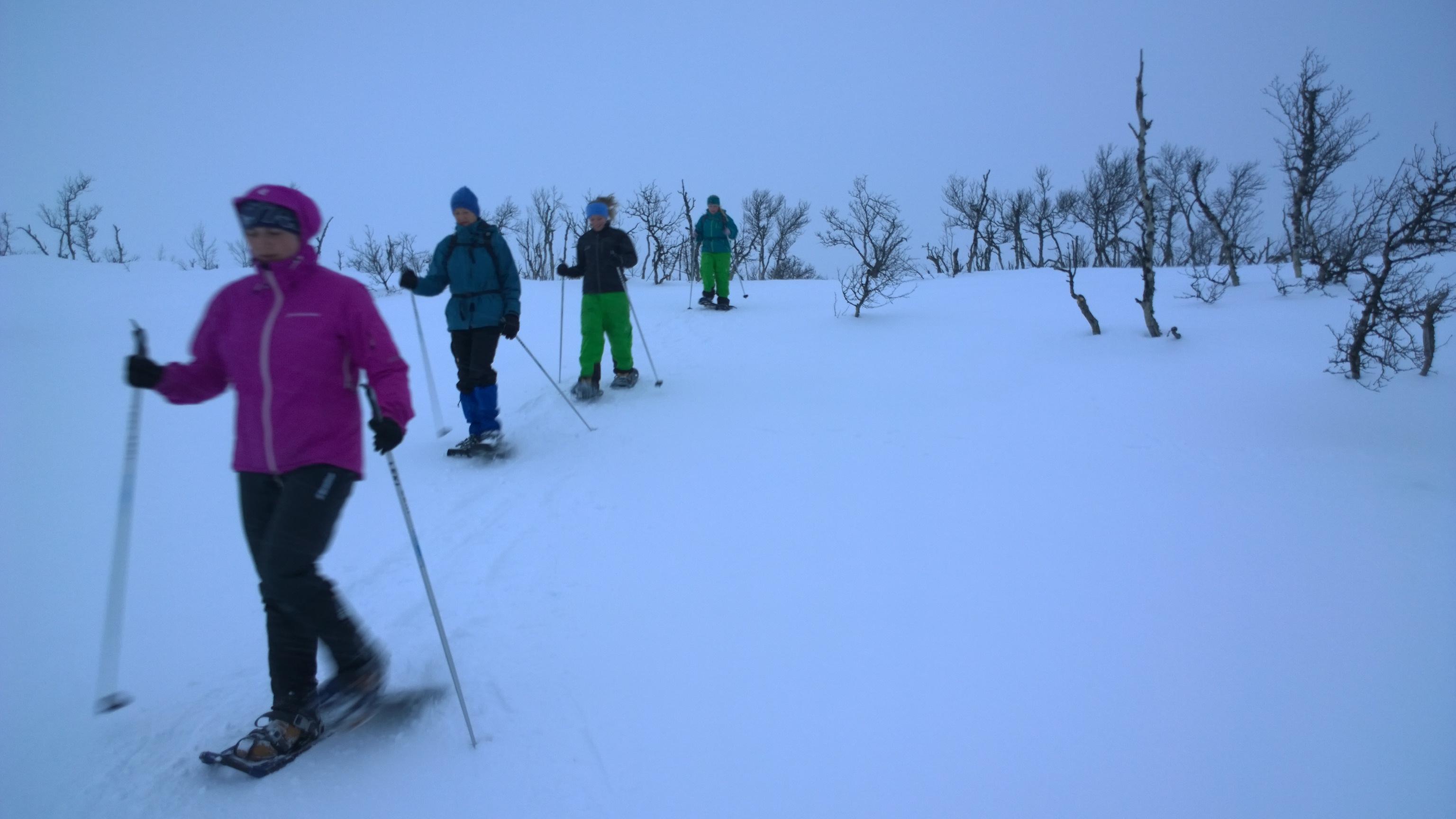 Geilo
GeiloSnowshoeing trip with guide - Geilo Aktiv
Explore the Winter Wonderland of Geilo – Join a Guided Snowshoe Hike with Geilo Aktiv and Nina Gässler Do you want to experience the peaceful beauty of a winter landscape, breathe in the crisp mountain air, and get a taste of authentic Norwegian outdoor life? A guided snowshoe hike with Geilo Aktiv is the perfect way to do just that. Whether you’re looking for a relaxing family walk with storytelling or a more active workout on snowshoes, Nina Gässler will safely lead you into the stunning natural surroundings of Geilo. Why Choose Geilo Aktiv and Nina as Your Guide? A snowshoe hike with Nina from Geilo Aktiv is much more than just a walk — it’s a complete experience, tailored to your wishes and skill level. With a background in sports science and years of experience as a guide, instructor, and outdoor coach, Nina blends her passion for nature with expert knowledge to create truly memorable tours. Whether it’s your first time on snowshoes or you’re an experienced winter hiker looking for new challenges, Nina ensures the trip suits you perfectly. Equipped with modern, lightweight snowshoes and guided by someone who knows the area inside out, you’ll enjoy exercise, fresh air, and unique insights into the beautiful nature surrounding Geilo. Along the way, Nina enthusiastically shares her knowledge about wildlife, animal tracks, and the secrets of the mountains — and if you’re lucky, you might even hear a Norwegian troll tale or two during a family-friendly tour. More Than Just a Hike – An Activity for Everyone Geilo Aktiv offers snowshoe hikes for all levels — from gentle evening walks starting from Vestlia Resort to longer mountain treks for those wanting to explore Geilo’s spectacular highland scenery. Whether you’re after a peaceful nature experience with your family or a challenging workout in the snow, Nina will design the perfect trip for you. Thanks to Nina’s unique combination of sports expertise and local knowledge, she can adapt the route to match your fitness level and interests. She knows exactly where to find the best viewpoints for a scenic break — or how to create a challenging session to get your heart rate up if that’s what you prefer. Why Choose a Guided Snowshoe Tour Instead of Going Alone? Geilo is a true winter paradise with plenty of trails, but choosing a guided tour offers so much more than simply walking on your own: Safety and expert guidance in unfamiliar terrain, whether you’re in the forest or crossing frozen lakes. Hidden gems and secret spots you’d likely miss without a local guide — from animal tracks to the best panoramic viewpoints. Active adventure with purpose, where you combine exercise with incredible natural beauty. Local stories, history, and insights that give deeper meaning to your journey. Flexible and personalized itineraries tailored to your interests, fitness level, and the day’s weather. Perfect for First-Timers Never tried snowshoeing before? No problem! Nina will give you a thorough introduction to the equipment and techniques, so you’ll feel comfortable and confident right from the start. Modern snowshoes are lightweight, easy to use, and suitable for all ages — whether you want to stroll at a relaxed pace or challenge yourself with a more demanding hike. Regular and Private Tours – Your Choice Geilo Aktiv offers regular evening tours throughout the week, starting from Vestlia Resort, as well as longer daytime mountain hikes that can be customized to fit your personal preferences. If you’re planning a private group trip, Nina is happy to create a tailored experience for you, your family, or your friends. Practical Information and Booking All tours include snowshoe and pole rental, and trips range from 1.5 hours for a family-friendly tour to several hours for longer mountain adventures. Snowshoe rentals are also available if you’d like to explore on your own — but we always recommend a guided tour to make the most of your time in Geilo’s magical winter landscape. For more information and booking: [email protected] Welcome to Geilo Aktiv — where nature, activity, and local knowledge come together to create unforgettable winter memories! Geilo
GeiloKicksled
In 2011 was the 30. time of Spark-VM in Geilo. One team made a 4,53M high kicksled to celebrate this year event. At this moment it was the biggest kicksled in the world. The friends from Sandefjord Snakk, Snaps and Sparkstøttingforening made the kicksled and dragged it 600m in one of the contest in Spark-VM. They got help from a tractor up the hill. After the contest they donated it to Geilo as a gift for 30 years of Spark-VM anniversary gift. The kicksled is now standing in the Geilo city.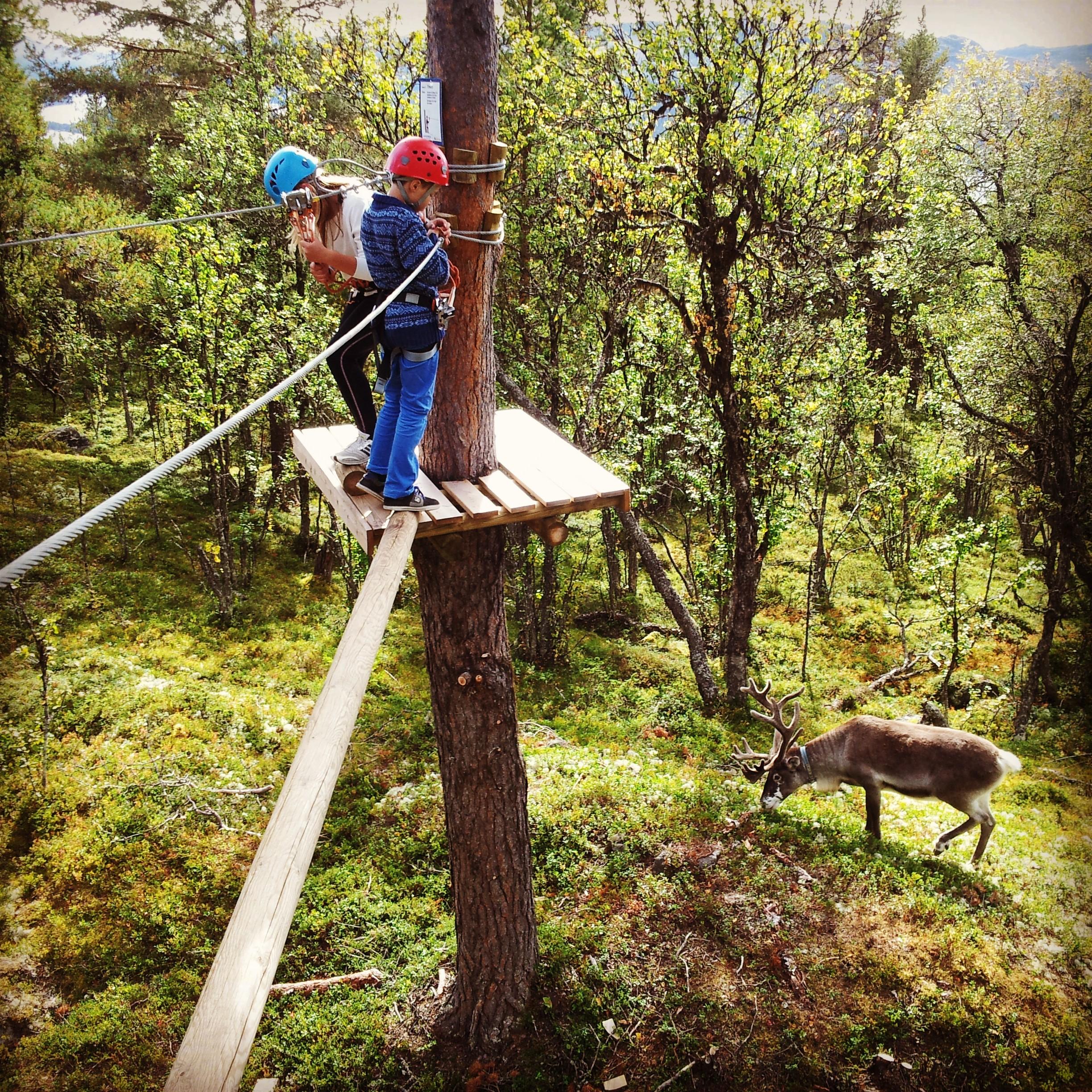 Geilo
GeiloLangedrag Naturpark
Welcome to Langedrag Nature Park AS. Eva and Edvin K.Thorson (1918 - 2011) with family are founders of Langedrag. Edvin is also the entrepreneur behind EKT health-jersey and EKT Riding School at Ekeberg in Oslo. The philosophy behind both health-jersey and Langedrag is: Nature is our best teacher. In scenic surroundings lay the Langedrag houses as a fairy-tale castle in 1000 m.a.s overlooking lakes and mountains between Hallingdal and Numedal The construction of the farm began in 1978. The Thorson family wanted to realize the dream of a farm where visitors can get unique animal and nature experiences. With great respect for nature's own selection over millions of years, we have at Langedrag taken care of several wild animals, and tried to take care of the most primitive breeds within each races. With us you can experience close encounters and cuddling with both wild animals and livestock. The farm has about 20 different species / races and a total of about 300 individuals. Welcome to a day visits, overnight stay or camps all year round at Langedrag, as individuals or groups. Tour with feeding of the animals each day during the school holidays and weekends from 12.30. Also for groups by appointment. Langedrag has 100 beds, and throughout the year there is the possibility of accommodation with us. Feel part of life on the farm and use it as a starting point for trips in beautiful mountain terrain all seasons, 1000 m.as. Full pension with homemade food in a pleasant living environment characterized by wood and timber, as well as a variety of experiences with animals. Dining in pleasant surroundings, cafeteria, dining room and large lounge with fireplace. Welcome to an experience to remember. Experience wolves and lynx up close. Join the Arctic fox and bring it up in your lap! Few other places in the world can you see man walk into the wolf and 'talk' to them Visit the reindeer and feed them from your hand Join milking goats, do you dare to taste? Take a ride on horseback - try balancing on horseback (voltige) How about joining a seterdag or other led program Excellent hiking and skiing terrain -good trails from the farm Experience elk, king of the forest, in one of Europe's largest elg-encloser Dog sledding in beautiful mountain terrain, summer and winter Take natural knowledge proof, play providing learning for adults and children. Climbing park with 9 challenges Muskox. Discover proximity to a bygone prehistoric era! Langedrag also offers: Leirskole Camp school takes its starting point in life on the farm and the surrounding nature. From Monday to Friday throughout the schoolyear 3-4 schoolclasses are staying on the farm and taking part in the daily care of the animals in stables and barns. Rideleir • Activity Pursuits • Family Camp • Riding camp. Teaching horse riding and caring for horses, as well as become familiar with all our other animals. Experienced instructors. • Activity Camp. Children 9-16 years. Exciting activities with animals and the outdoors from dawn to dusk. • Family Camp or grandparents- and grandchilderen camp. Exciting and educational program for children and adults together. Daily care in stables and barns, milking and horse riding, hiking to the mountain with goats and horse, cheesemaking, plant dyeing, canoeing, charcoal burning, visit arctic foxes, reindeer and moose. Experiences for life.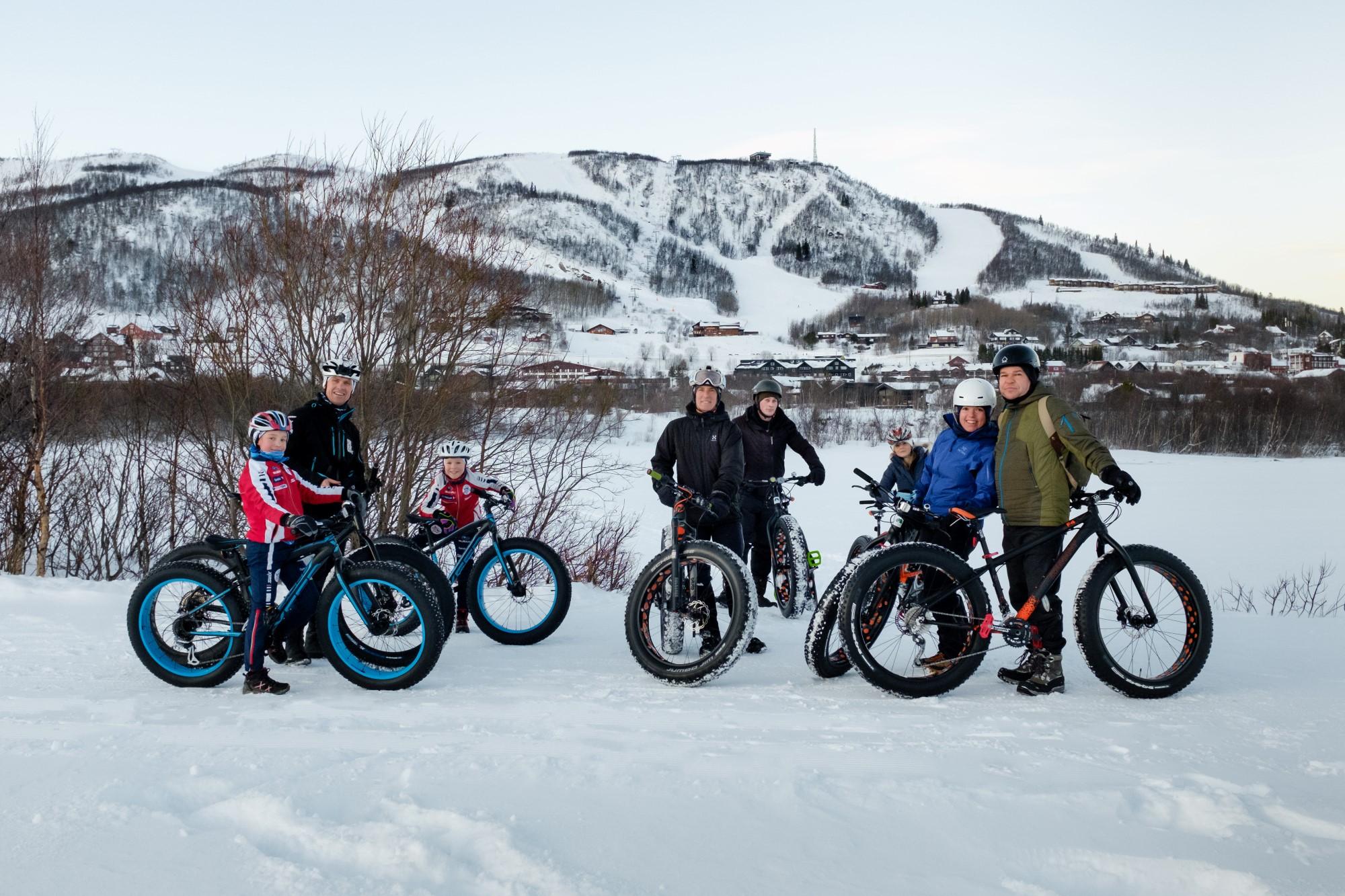 BuchenGeilo
Geilo Aktiv
Geilo Aktiv makes sure you get outdoors and move in fresh air on either a bike/ fatbike or cross country skis and snowshoes. With guide Nina you will be sure you will get an unforgettable memory of your holiday in Geilo. Long trips, short trips, tough trips, gentle trips for both groups and individuals. We've got a weekly program that you can join or we can tailor a trip especially for you. In the summer Geilo Aktiv guide mountain hiking trips and bike-rides. Course Nina is an cross country skiing instructor and you can book both private lessons as well as group lessons. During the summer month she will offer bike courses. Find out more about all the possibilities with guide Nina from Geilo Aktiv at the webside www.geilo.com.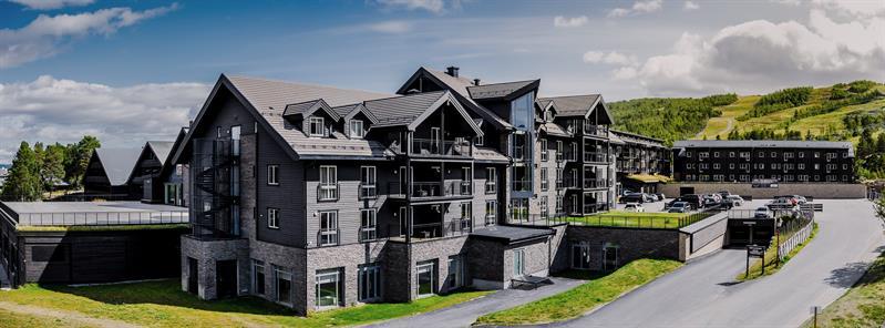 BuchenGeilo
Vestlia Resort
The hotel for good experiences. Lovely SPA, food and interiors. Idyllic location by Geilolia, golf course and Ustedalsfjorden. Vestlia Resort is a ski in/out hotel too alpine and cross-country Vestlia Resort is the perfect base for exploring the mountains that surround Geilo. Both cross-country trails and ski slopes are right outside the door. The hotel is the perfect starting point for hiking in the surrounding mountains. The staff are happy to help finding the acitivity that suits your needs. The beautiful and award-winning spa facility of 1000 sqm is the perfect place to pamper yourself. The treatments are arranged to suit you with an active lifestyle. The spa therapists undergo continuous training to maintain the high level that you deserve. Vestlia Resort also takes care of the children. For the kids there is a separate activity pool and the mountain's largest indoor playground. Vestlia Resort is a good option for active holidays. You can do dog sledding and sleigh rides in winter, downhill biking, tree top walking or canoeing in the summer. Vestlia Resort will help you tailor ta activity package to suit you, your family, colleagues or friends best. Vestlia Resort has 134 rooms in various categories. You can stay in newly renovated cabins, or you can live easily in the Ski-wing. You can stay in comfortable rooms and suites decorated by renowned interior designer Helene Hennie. Or you can stay in the largest penthouse suites with elevator with direct access to the spa facility. The choice is yours, the experience is unique!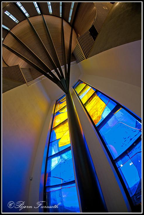 Geilo
GeiloGeilo cultural church
Geilo Kulturkyrkje is the place for art and culture. An inspiring place with reflection of traditions and heritage. A place that provides an impuls of intensity for concerts, drama, dance and other cultural events. There is also an art gallery that offers artists from far and near an opportunity to expose their work. Geilo Kulturkyrkje was consecrated on November 28th 2010. The church was designed by architect Jorun Westad Brusletto and the decorations are made by Kjell Nupen. There are 280 seats in the church. Together with the hall and the church gallery there is place for approx. 500. Geilo Kulturkyrkje is a kind of seaman's church on the mountain. The church has also a quiet chamber- place for meditation, reflection and contemplation. There are also neutral chambers that can be used for different ceremonies and funerals.
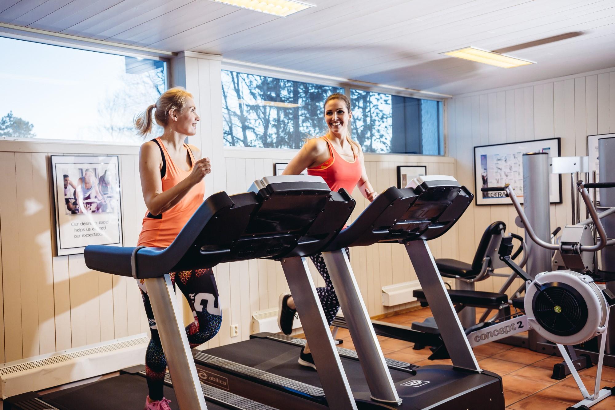
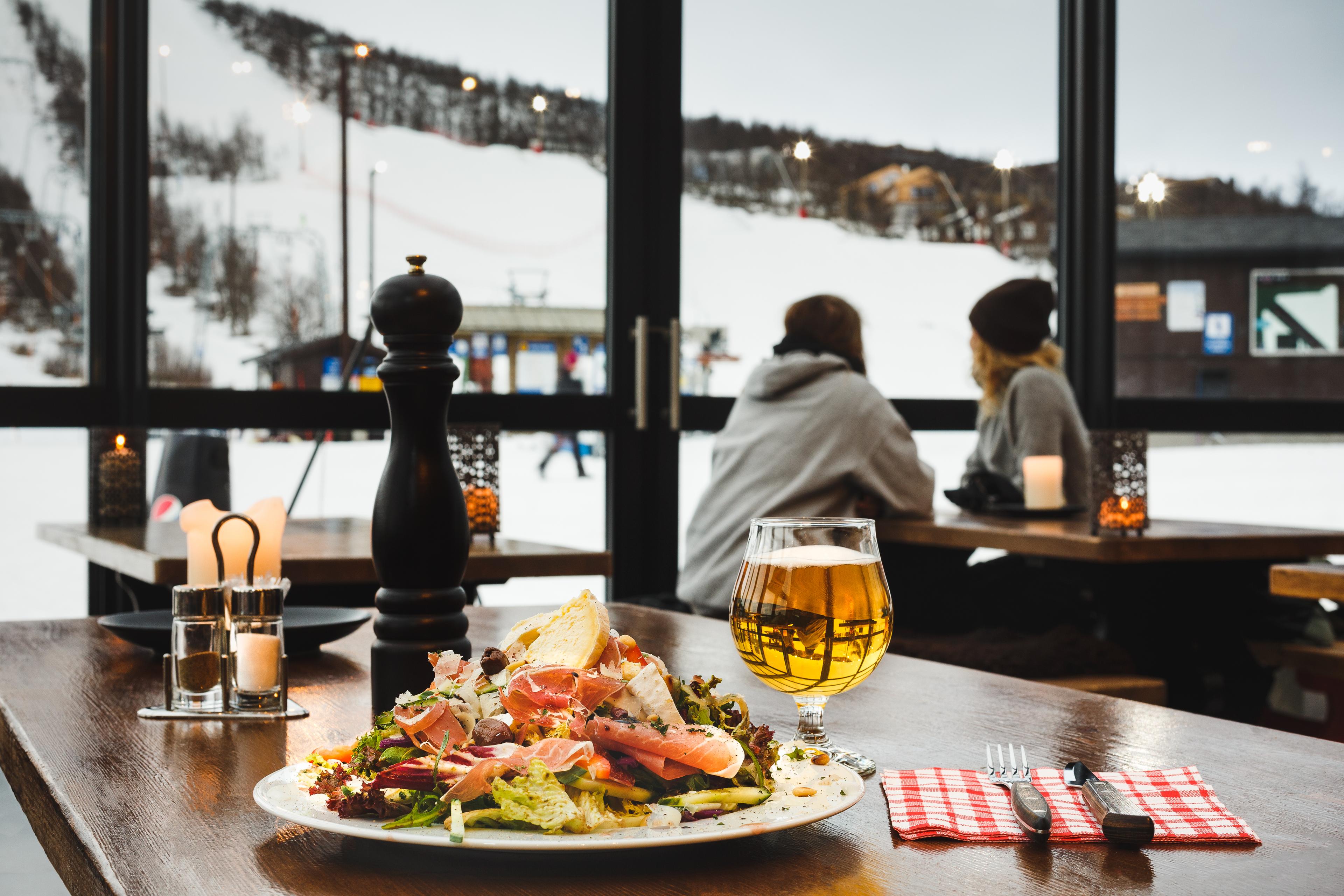
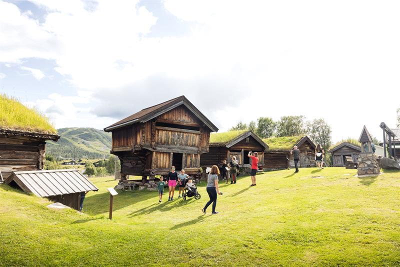
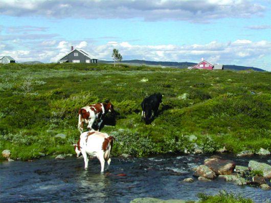
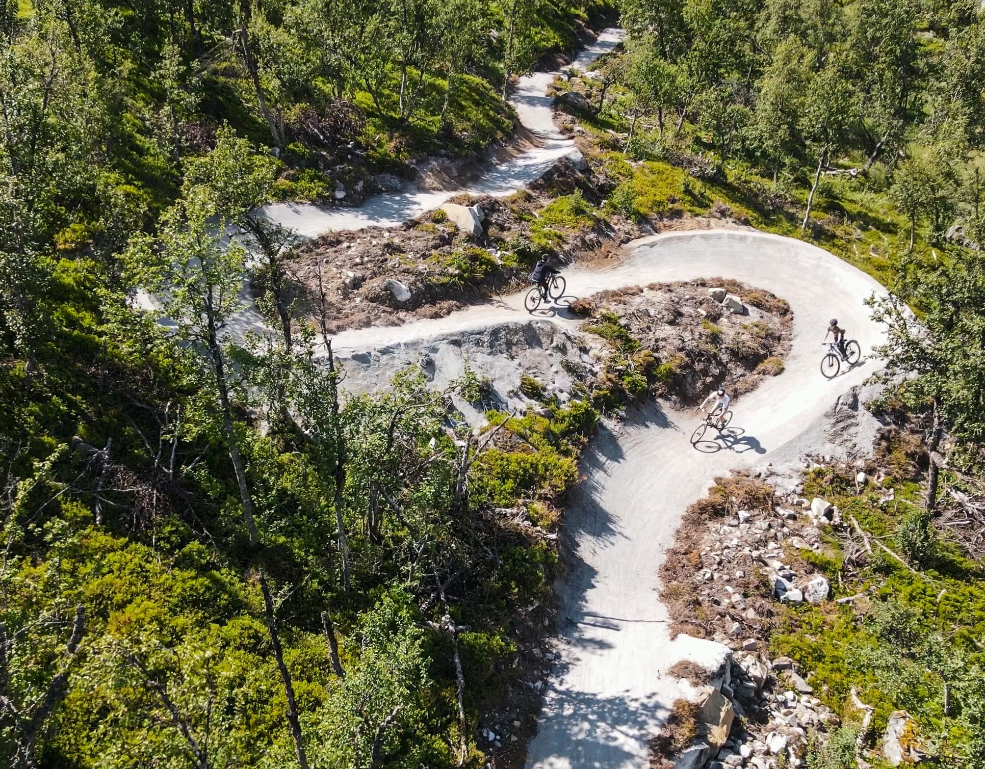
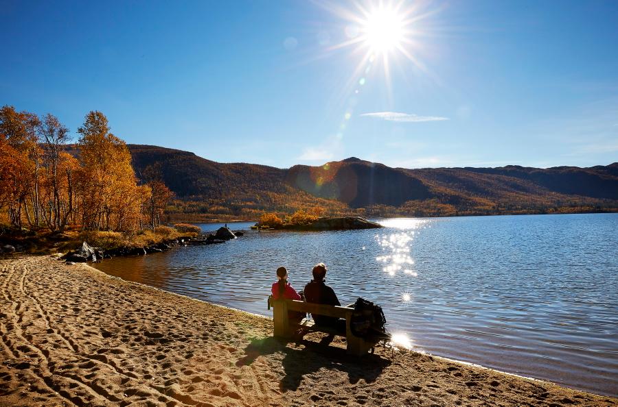

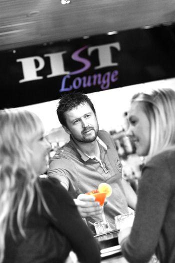
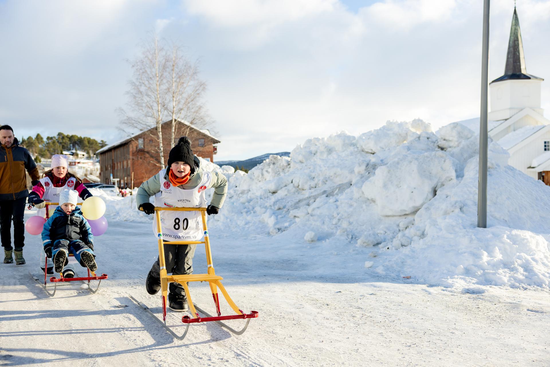
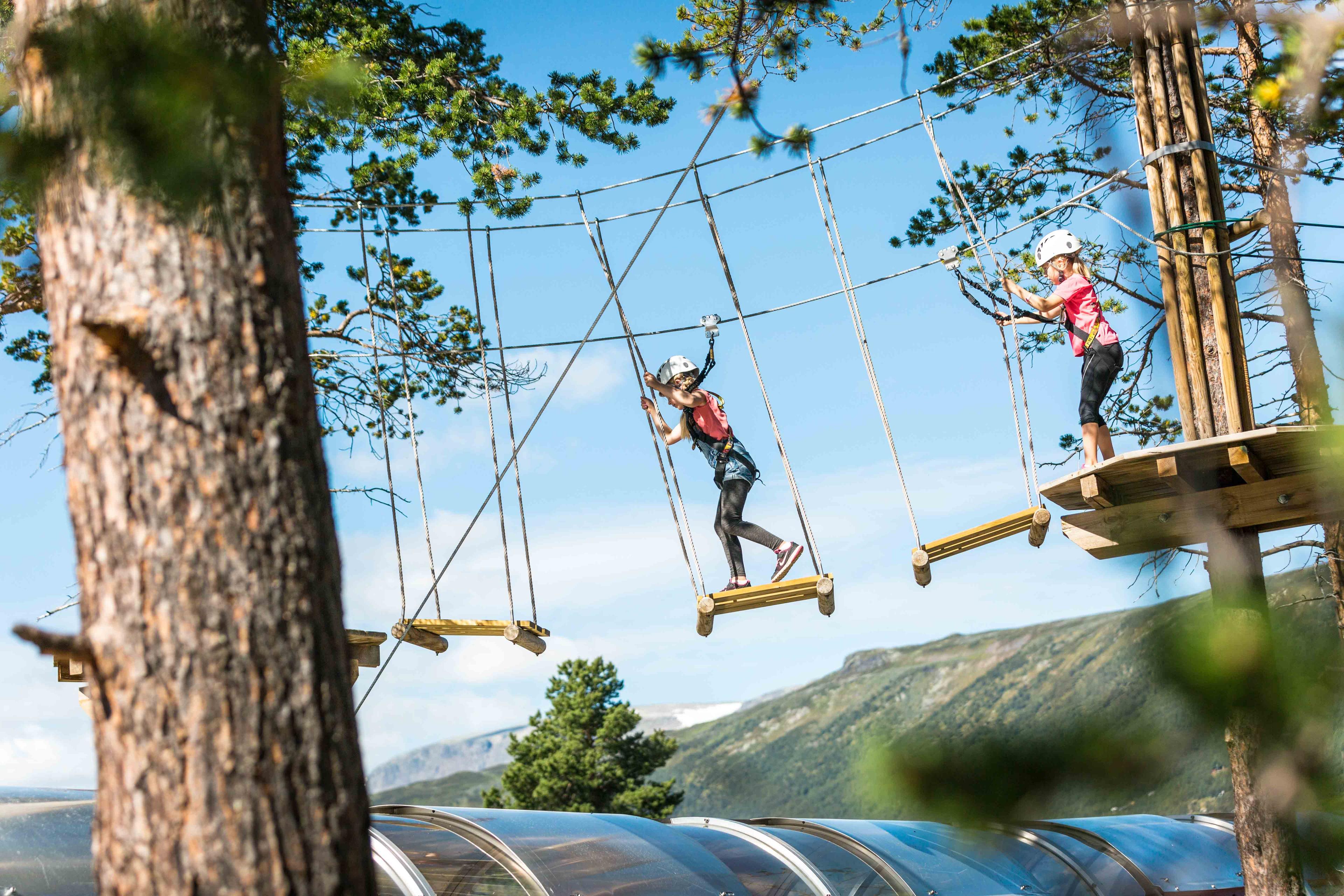
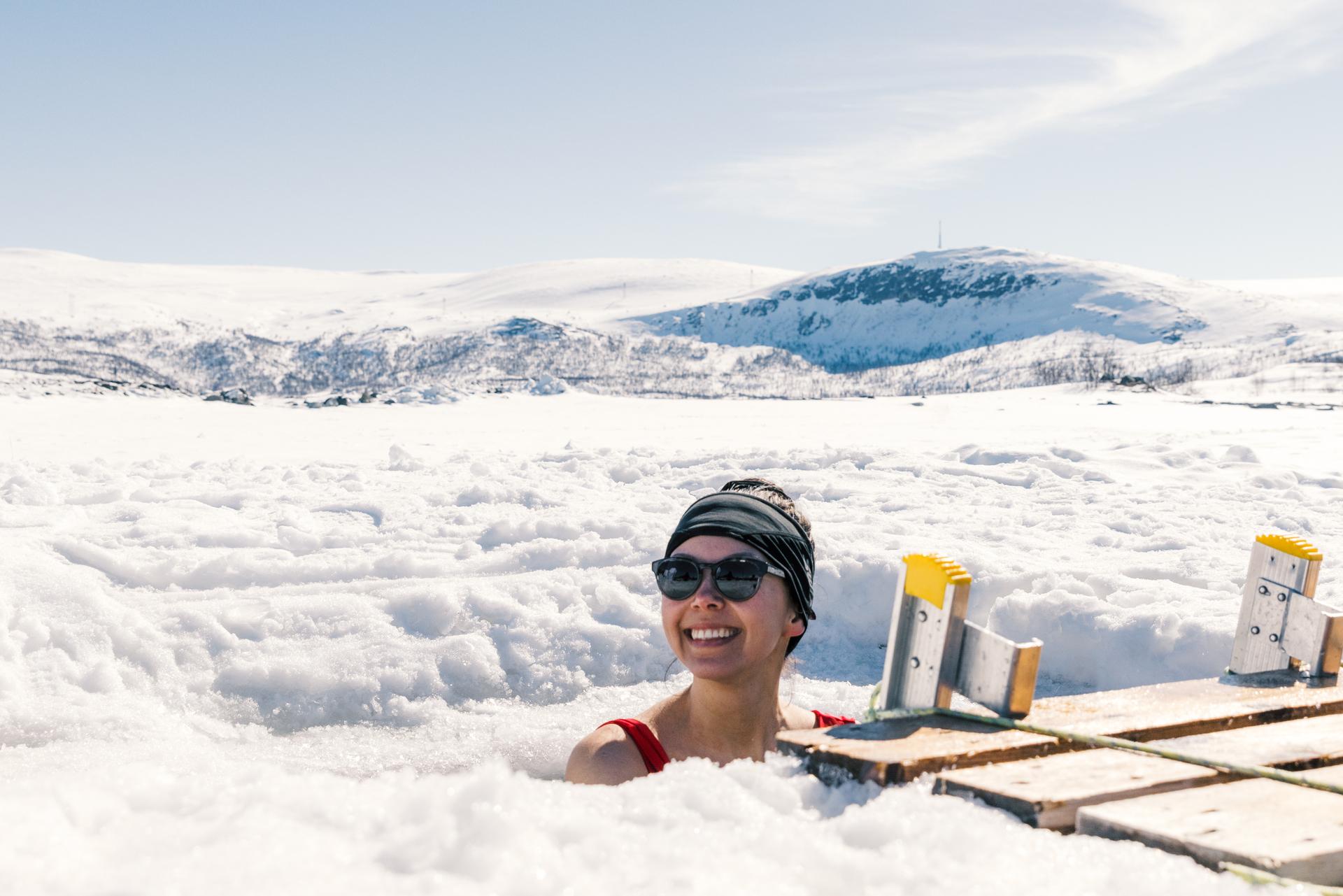
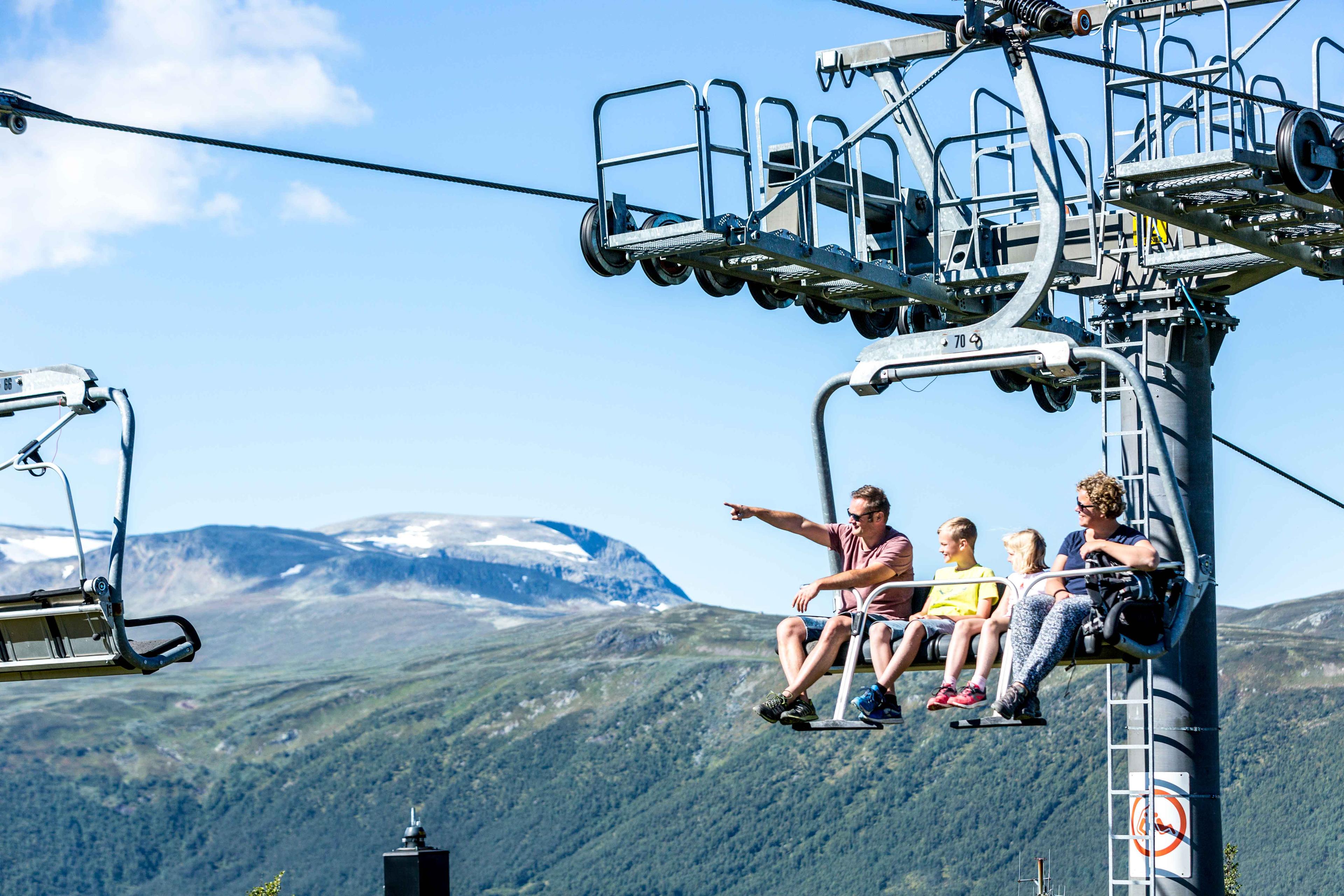
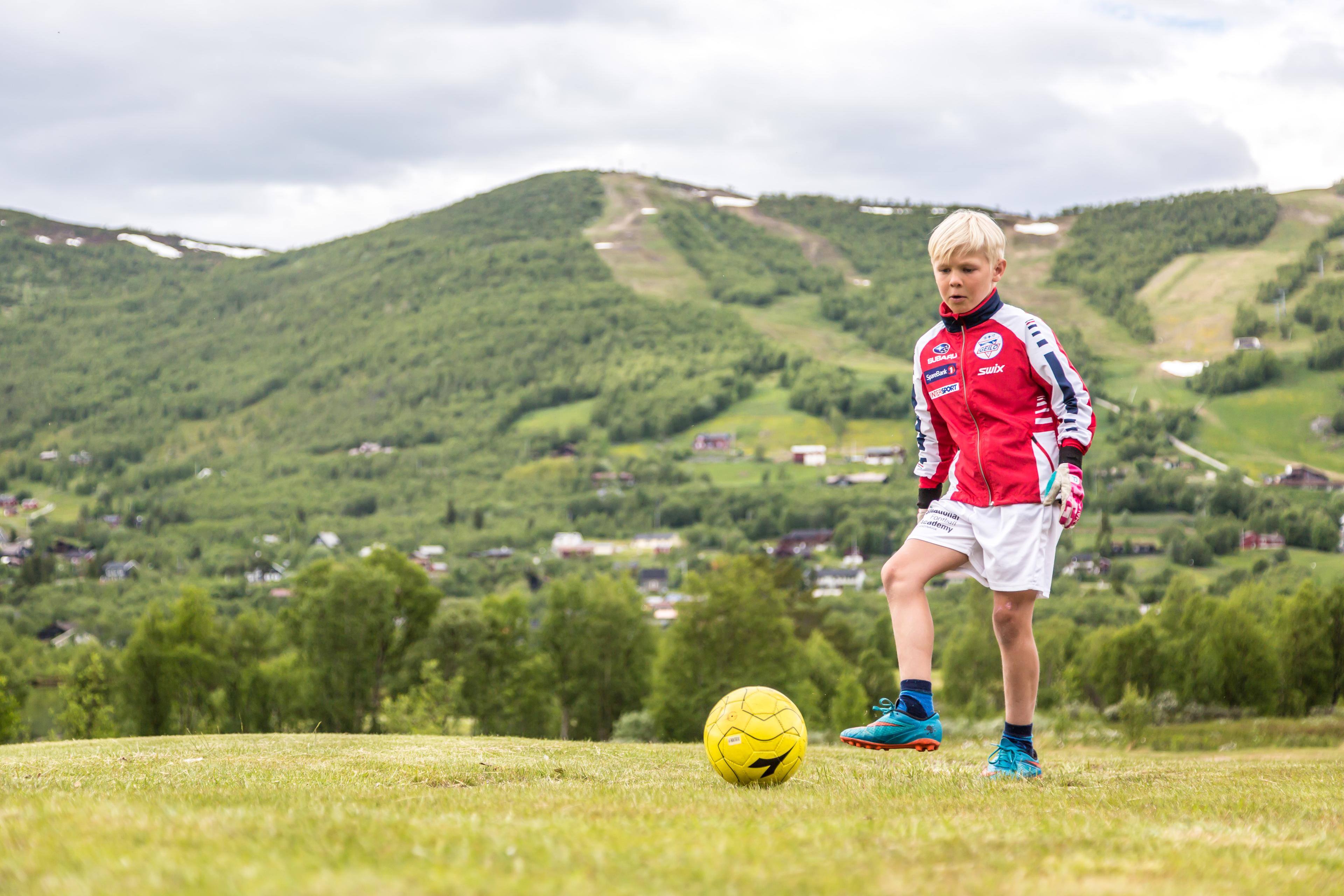
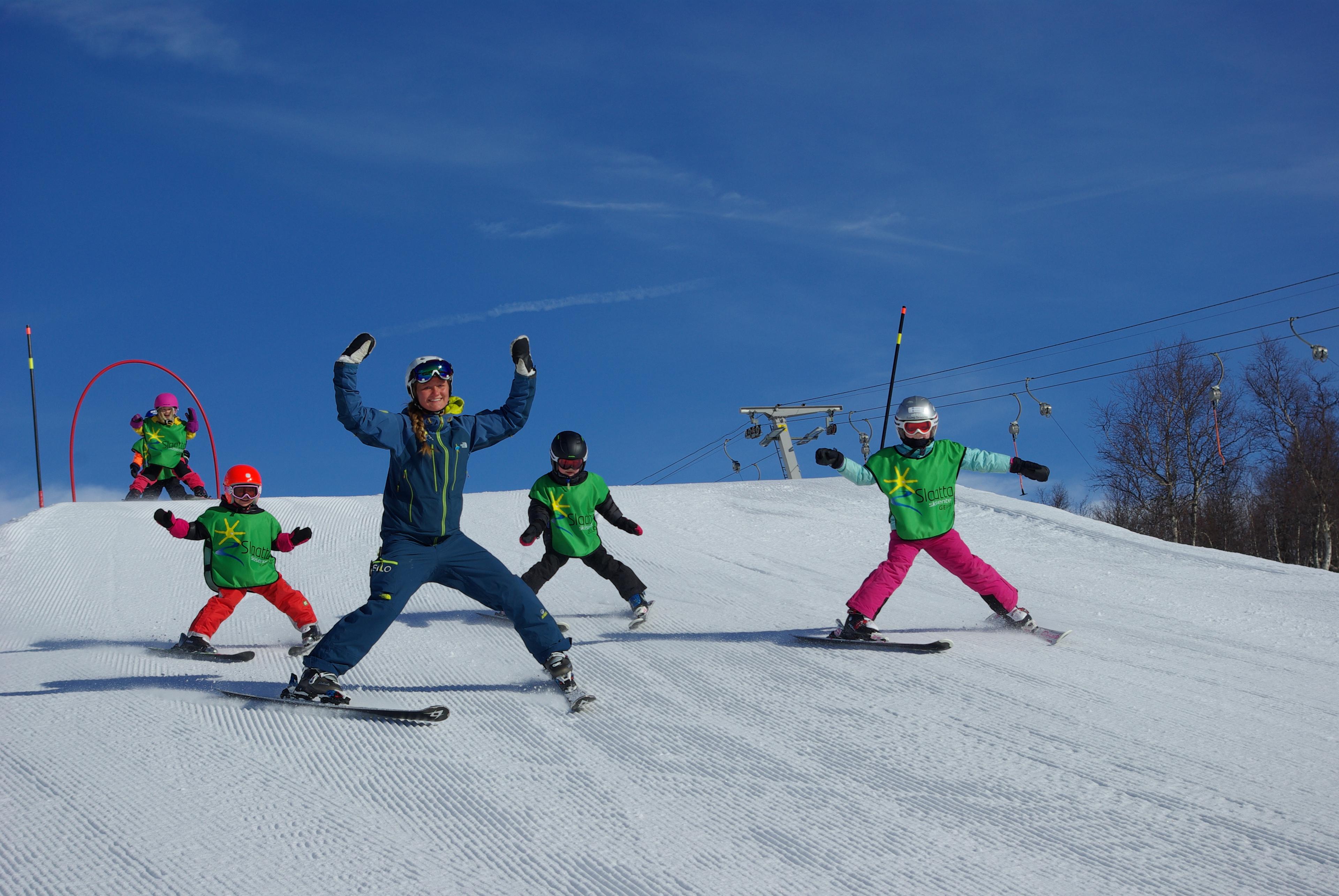
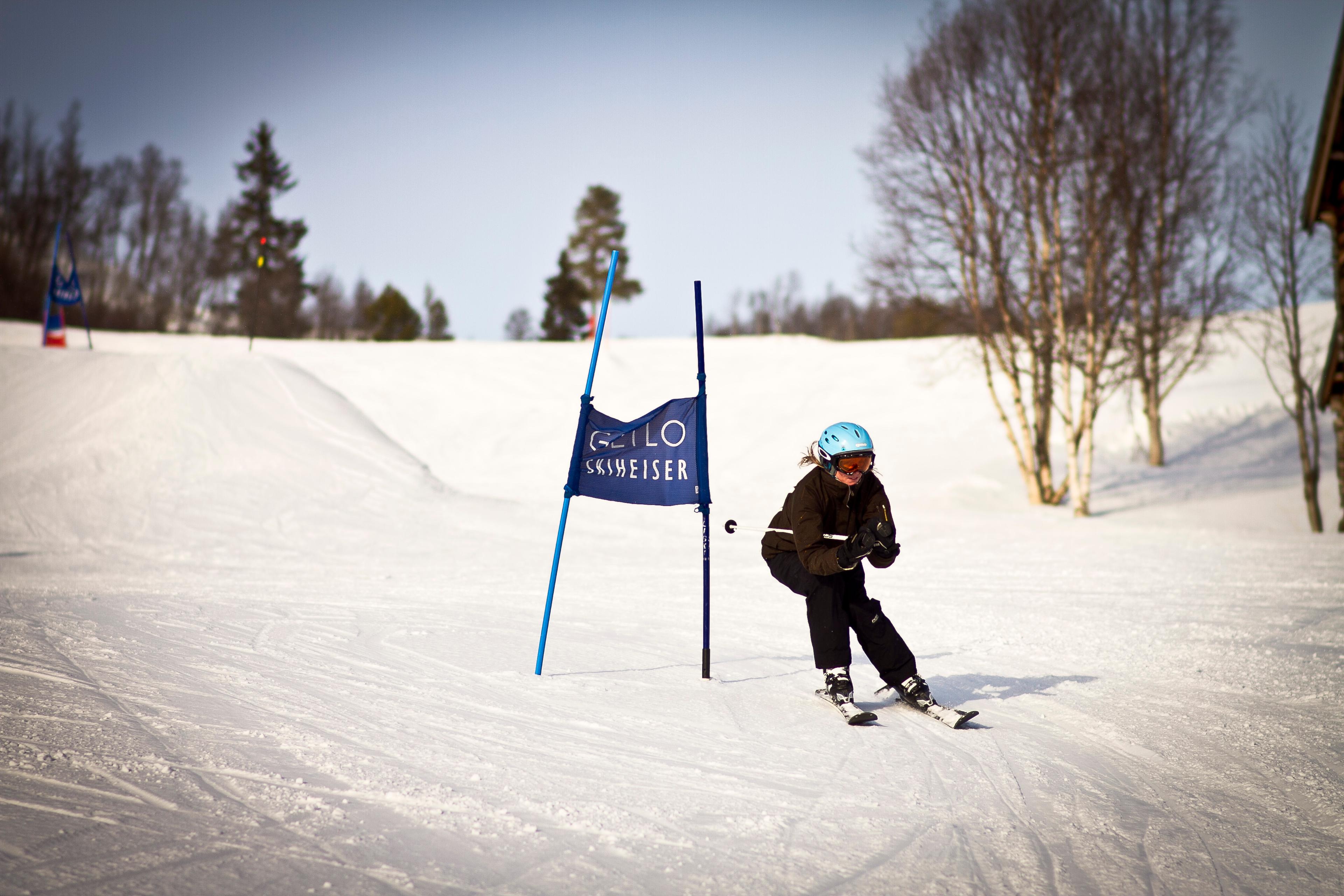
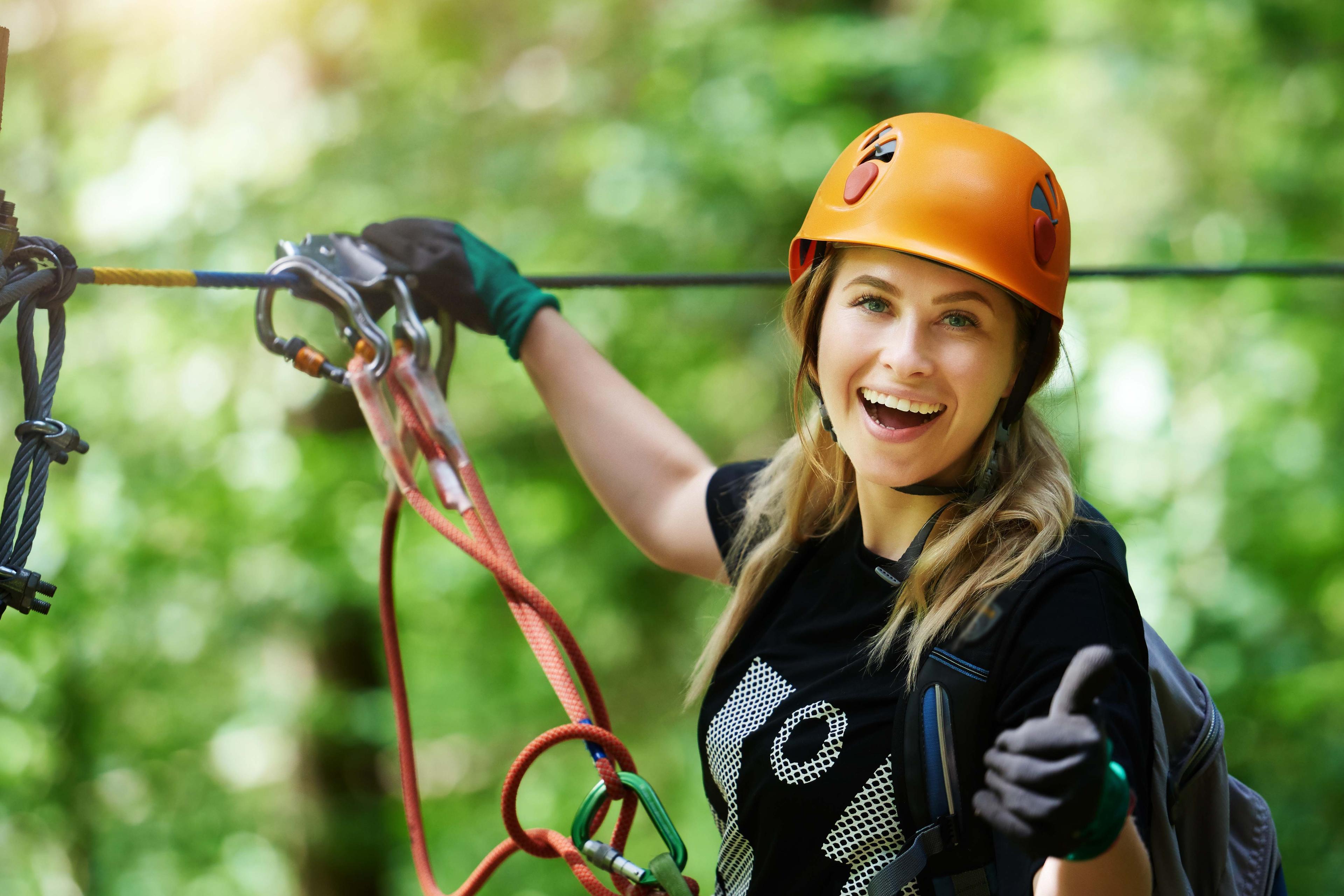
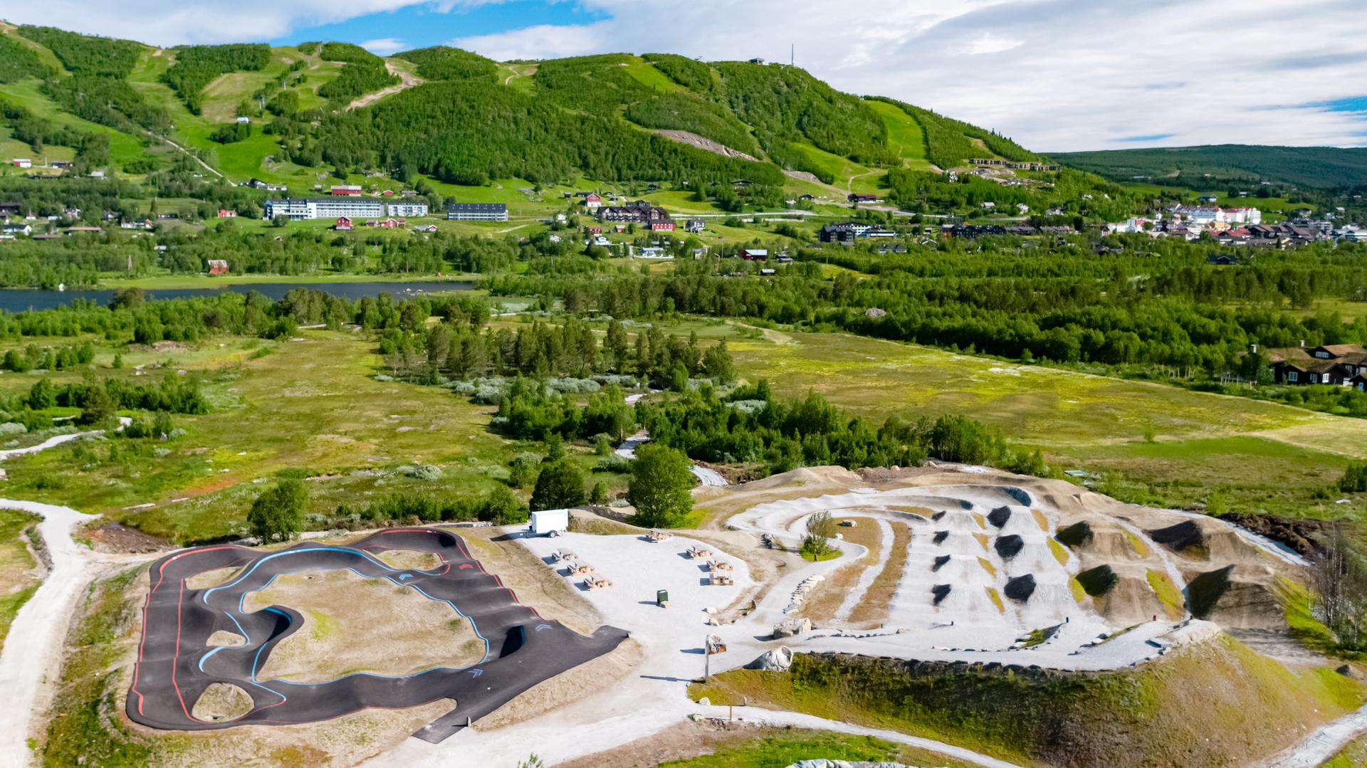
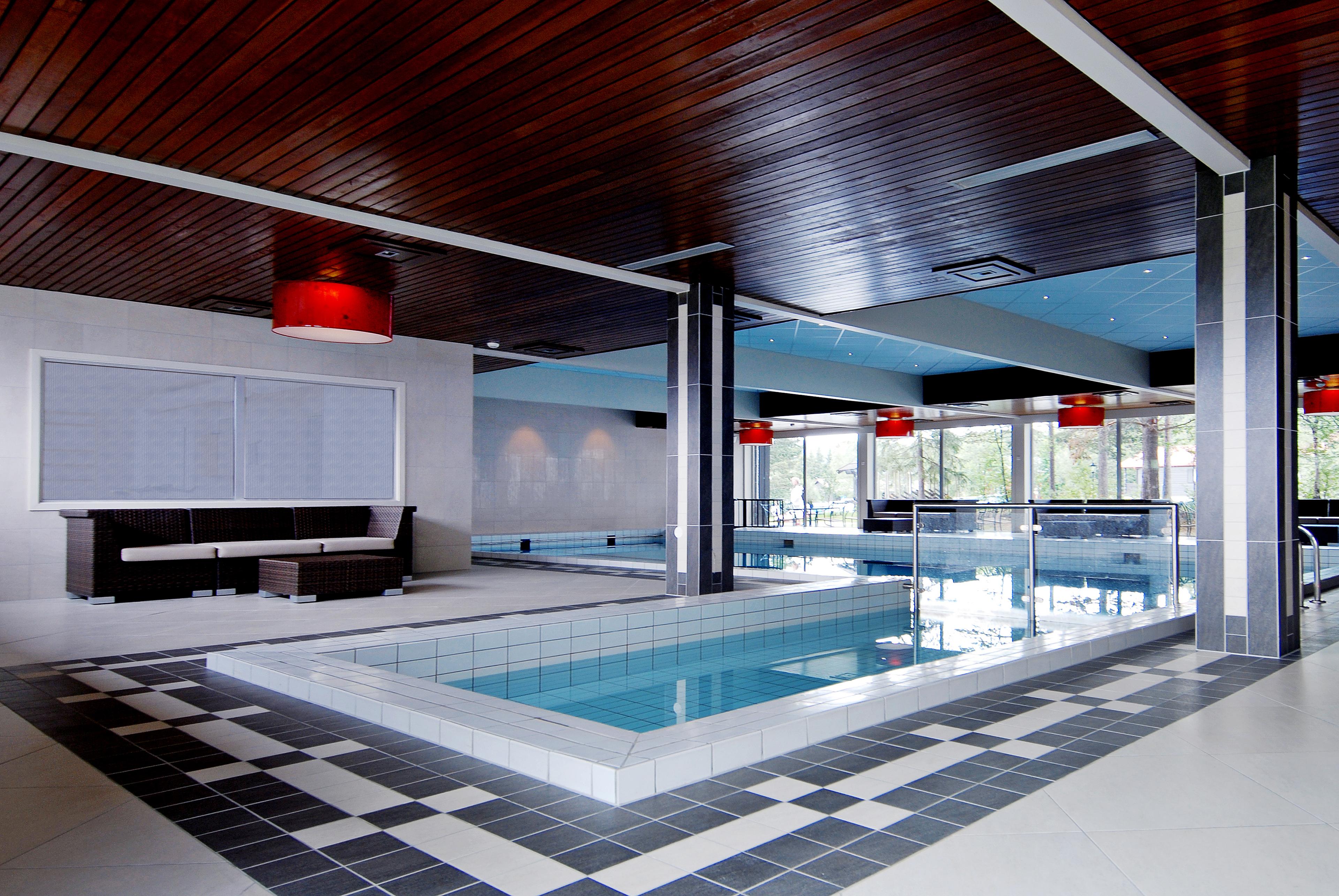
Übernachten
Finden Sie unterwegs eine passende Unterkunft.
- BuchenGeilo
Dr. Holms Hotel
Dr. Holms Hotel has been a source of recuperation, comfort and well-being since the beginning of the 20th century. Dr. Holms Hotel has 127 rooms: 11 single rooms (12 -20 m2), 11 family rooms (35 m2) , 3 suites (35 m2) and 100 double or twin rooms (20-25 m2). None of the rooms have king size or queen size bed. The rooms in Dr. Holms Hotel are uniquely appointed. If you prefer the romantic, English style, you would enjoy the classic atmosphere of the original section of the hotel. If you are attracted to the modern and minimalist style, enjoy the clean simplicity of our bright decorated rooms in the modern section. Dr. Holms is situated in the heart of the beautiful mountain scenery, and is a starting point for inspiring and exiting adventures. Geilo is a vibrant mountain village, situated 800 meters above sea level, between the main cities of Norway; Oslo and Bergen. North Europe largest mountain plateau, Hardangervidda, sets the scene for great experiences of the Norwegian high mountain landscape. Great memories all year round: Winter - Geilo is Norway's most traditional skiresort, having been a touristdestination for more than a 100 years. Our long history and well organized infrastructure, benefits our guests greatly, and makes Geilo a unique place. Summer -The beautiful nature and the varied activities in Geilo offer excitement all year round! Exchange your skiis for hiking boots or a bicycle, bring a fishing rod and binoculars. And dont forget your camera! Experience beautiful scenery, wild animals, the colours of nature and frest air. Horses, tranquil canoeing or rafting on chirling rivers. The Geilolia Lift takes you to the top of Geilo - a fantastic starting point for hiking.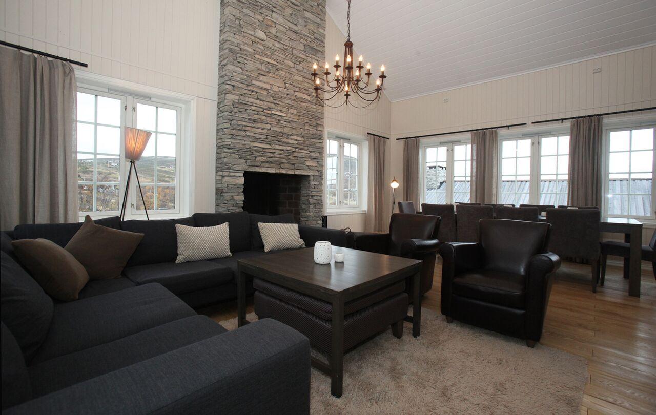 Geilo
GeiloNorgesbooking
Norgesbooking can offer cabins and apartments in Geilo in different sizes and price range. Here you can holiday homes near the slopes, in the center of Geilo and near hiking and cross country skiing areas. Norwegian is a hiring agent of cabins and holiday homes all over Norway. In addition to Geilo, we have cabins and apartments in small and large destinations all over Norway. We offer mainly privately owned holiday homes for let, and also holiday flats and different types of cabins by holiday resorts. Here you can find different types of cabins, - from basic, small cabins without electricity or installed water, to larger log cabins with all facilities. Booking can be made online on our web pages, by telephone or e-mail.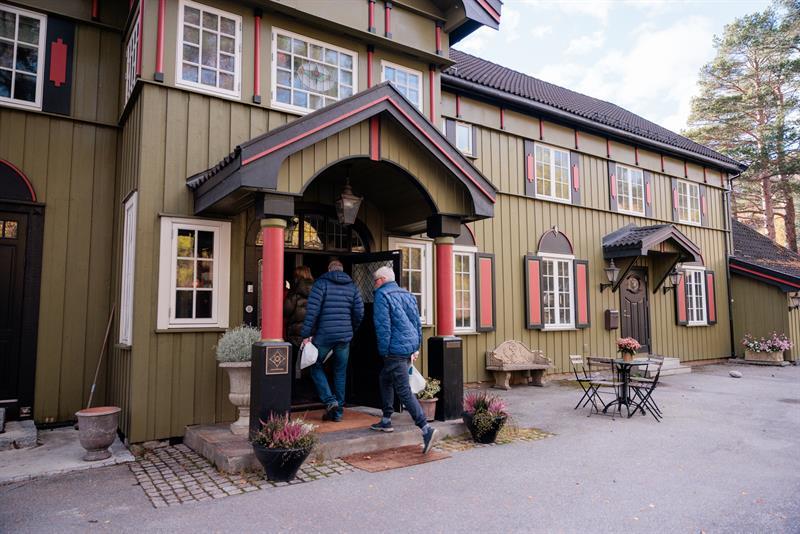 BuchenGeilo
Geilo Mountain Lodge
Geilo Mountain Lodge is Geilo's most secret place, and now open for everybody. Here you can stay overnight or order a great dinner all in the english style. As soon as you come inside you will be in a diffrent world. The interior is defined and you host Jan is taking good care of you. Open during summer and winter season, can be closed in the between, please contact Geilo Mountain Lodge Do you want to know more about Geilo, all activities look at www.geilo.com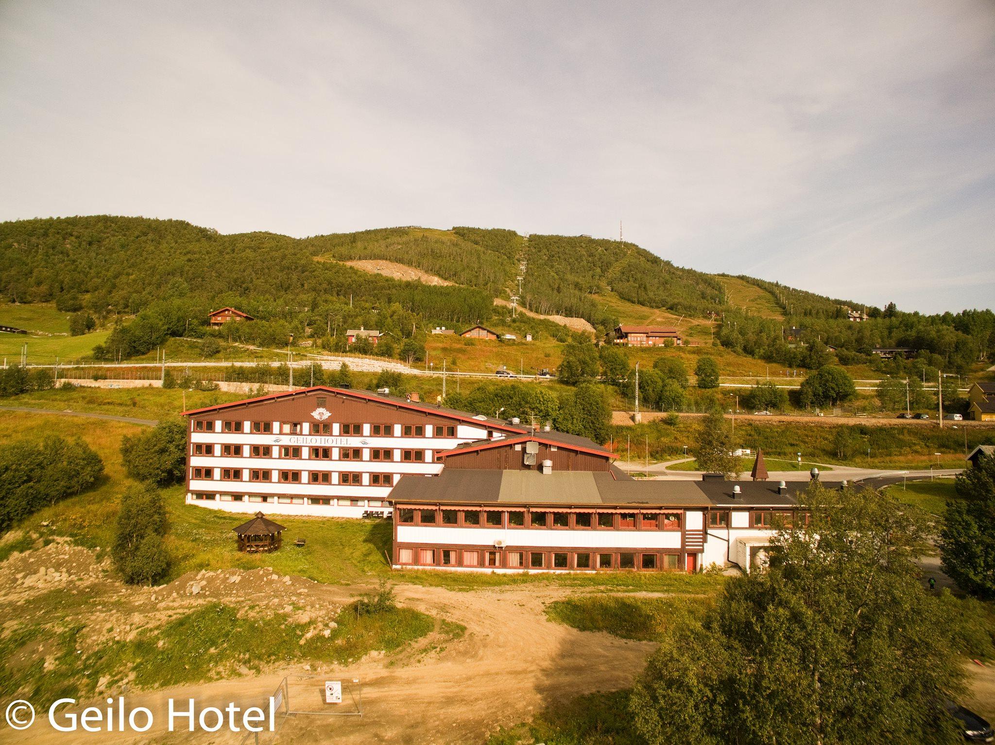 Geilo
GeiloGeilo Hotel
The hotel started in 1880 and has given traditions, local history, farming activities and rose painting a central place. Welcome to Geilo Hotell – a hotel with longstanding traditions. They have, by using local history and traditions, antiques and paintings, created a warm and cosy atmosphere where their guests can relax and feel at home. they know how to make your stay pleasant and comfortable.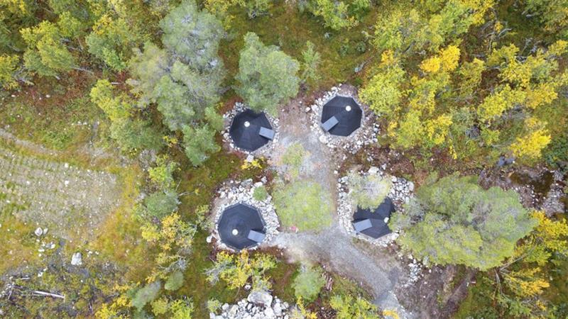 BuchenGeilo
Dagali Fjellpark Teepee Camp
The Lavvu Camp is located in the forest near Dagali Fjellpark. At Dagali Fjellpark, you can stay in our lavvu camp, which consists of four lavvus. 2 Standard Lavvus Two of the lavvus are classic models and accommodate up to six people. Beds are provided, and mattresses with clean covers are included in the price. There are four beds on the ground floor and two beds on the upper level (loft). Please bring your own sleeping bag. 2 Cozy Lavvus Two of the lavvus are what we call our “cozy” lavvus, as they offer a higher level of comfort. These accommodate four people. The price includes four fully made beds with duvets, pillows, and towels. Party Lavvu We also have a party lavvu available for rent for special occasions and celebrations. It can accommodate up to 30 people. A hot tub can be rented as an additional feature to make your event even more enjoyable — and of course, we also have a sauna. We recommend taking weather conditions into consideration when deciding to stay in a lavvu. Your stay can be even more memorable when combined with evening sledding. About the Lavvu Camp at Dagali Fjellpark The 21st century has reached our lavvu camp as well — electricity and lighting are standard amenities. Guests can use the outdoor charcoal grill, shared facilities (including a large communal lavvu with a fireplace), hot tub, and sauna.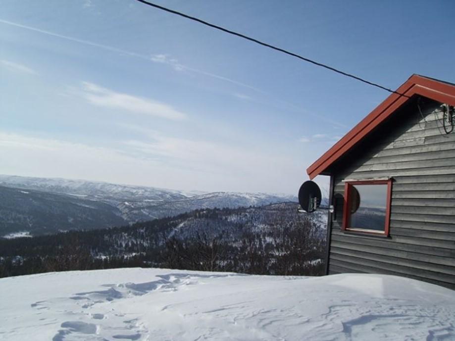 BuchenGeilo
Knuts Hyttegrend
From Kikut-Øst Hytteutleie (also known as Knut's Hyttegrend) there is easy access to the mountains both summer and winter. The summer trail follows hilly, family-friendly terrain with great nature and unforgettable views. Past idyllic fishing lakes, over heather-clad plains up to heights of about 1900m.o.h In winter, the cross country ski tracks are right outside the door, and you can follow the tracks for hours across the mountain. The tracks are well-prepared and marked. See update on Skisporet.no. Short way to SkiGeilo alpin senter at Kikut, from here you can ski down to Geilo. At Dagali there is Dagali Fjellpark alpine centre with Norways longest sledge trail.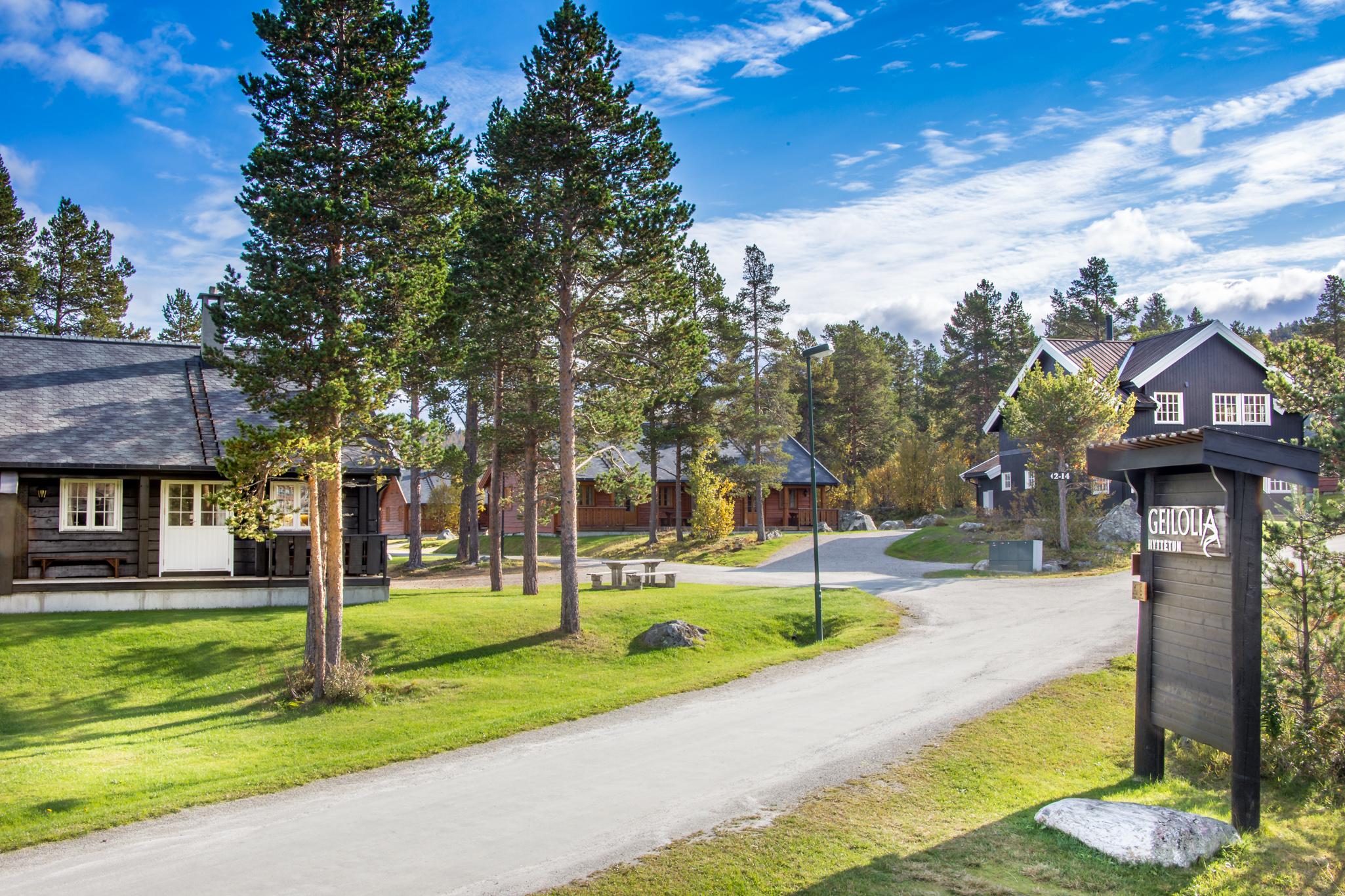 BuchenGeilo
Geilolia Cabins
All of Geilolia's 31 cabins are superbly located ski in / ski out to a ski centre. In summertime you will find a wide range of activities nextdoor, in Geilo Summerpark: High rope course, open summer chairlift to the Nationalpark view, bike park, golf and more. All cabins are of a high standard and with 6, 10 or 12 beds. All cabins are with self catering. The 6 bed cabins have 3 bedrooms, the 10 bed cabins have 4 bedrooms and the 12 bed cabins have 5 bedrooms. Fully equipped kitchen, living room with open fire place, bathroom with shower and private sauna. Also private ski stall and free wireless internet access. Free car parking by the cabin.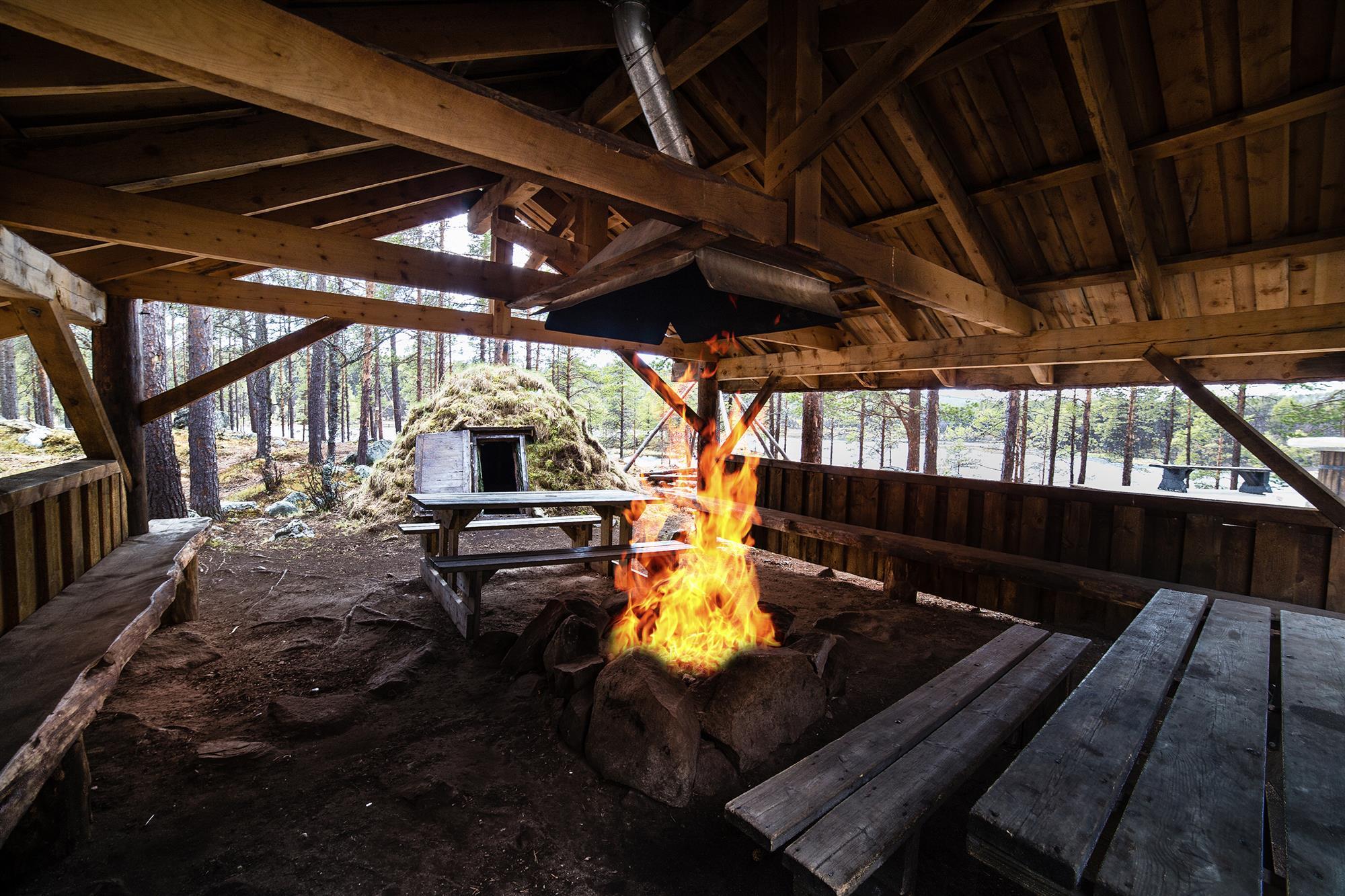 Geilo
GeiloWildniscamp
The wilderness camp at Serious Fun in Dagali rafting center is an ideal arena for activities and teambuilding or for the whole family to relax. Stay overnight in the tents, have a barbeque and eat out in the fresh air. Feel close to nature or experience romantic evenings under the stars or enjoy social and fun times with friends around the fireplace. Our camp has hot tubs, fire place and canoes available to all guests.BuchenGeiloVestlia Resort
The hotel for good experiences. Lovely SPA, food and interiors. Idyllic location by Geilolia, golf course and Ustedalsfjorden. Vestlia Resort is a ski in/out hotel too alpine and cross-country Vestlia Resort is the perfect base for exploring the mountains that surround Geilo. Both cross-country trails and ski slopes are right outside the door. The hotel is the perfect starting point for hiking in the surrounding mountains. The staff are happy to help finding the acitivity that suits your needs. The beautiful and award-winning spa facility of 1000 sqm is the perfect place to pamper yourself. The treatments are arranged to suit you with an active lifestyle. The spa therapists undergo continuous training to maintain the high level that you deserve. Vestlia Resort also takes care of the children. For the kids there is a separate activity pool and the mountain's largest indoor playground. Vestlia Resort is a good option for active holidays. You can do dog sledding and sleigh rides in winter, downhill biking, tree top walking or canoeing in the summer. Vestlia Resort will help you tailor ta activity package to suit you, your family, colleagues or friends best. Vestlia Resort has 134 rooms in various categories. You can stay in newly renovated cabins, or you can live easily in the Ski-wing. You can stay in comfortable rooms and suites decorated by renowned interior designer Helene Hennie. Or you can stay in the largest penthouse suites with elevator with direct access to the spa facility. The choice is yours, the experience is unique!
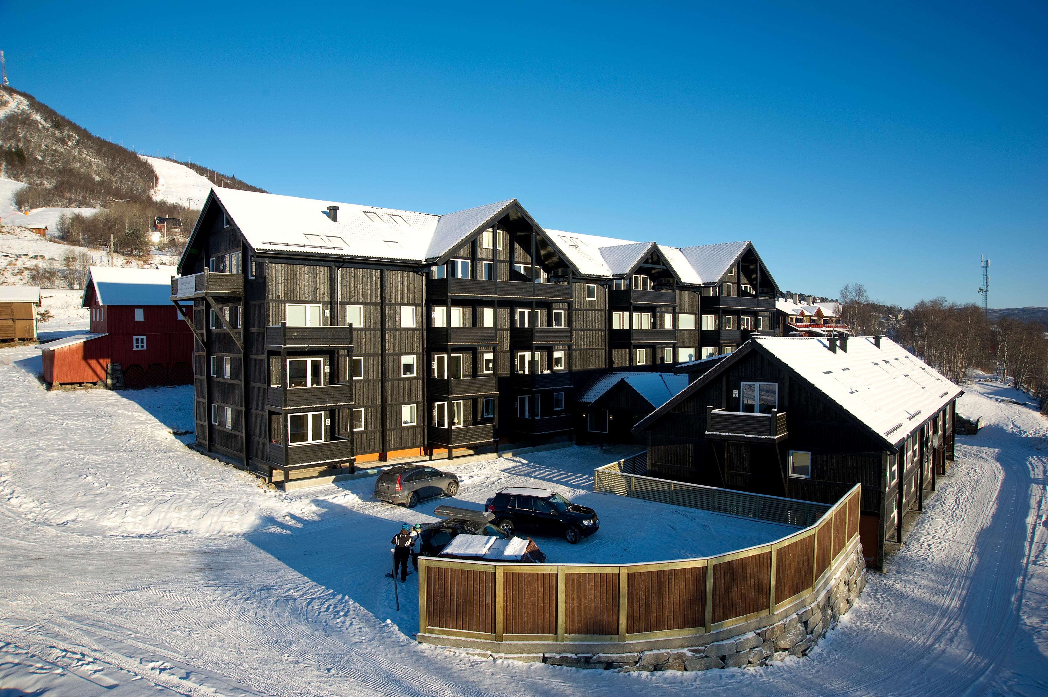
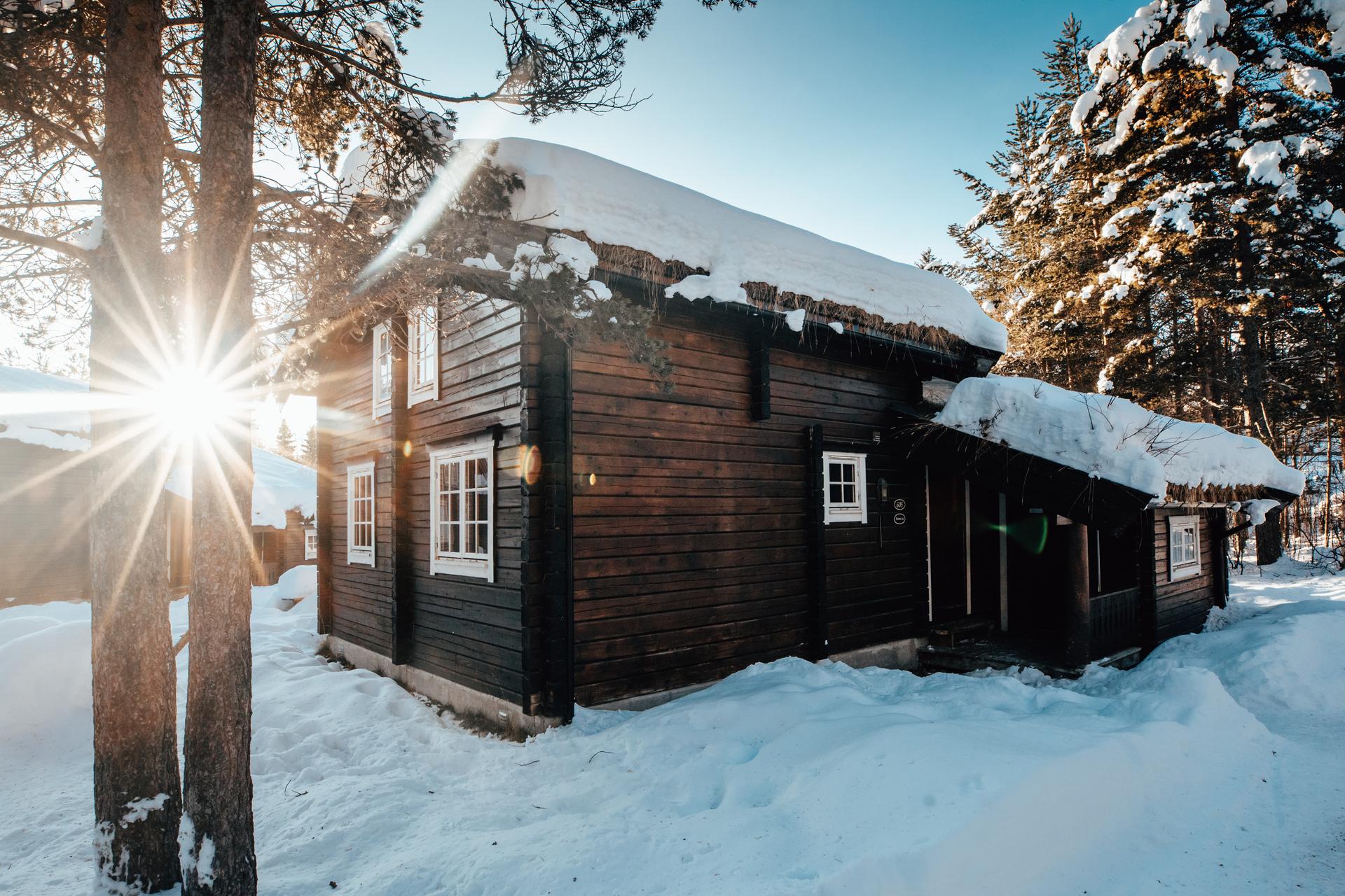
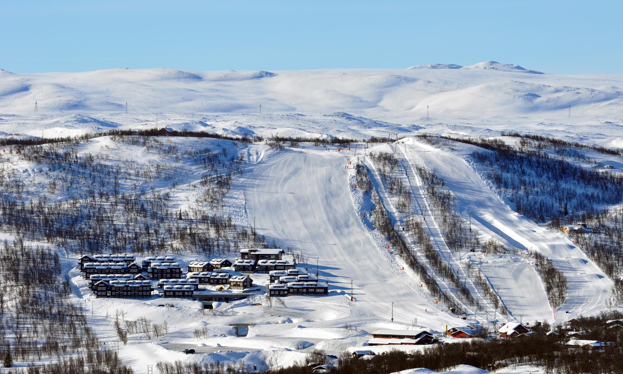
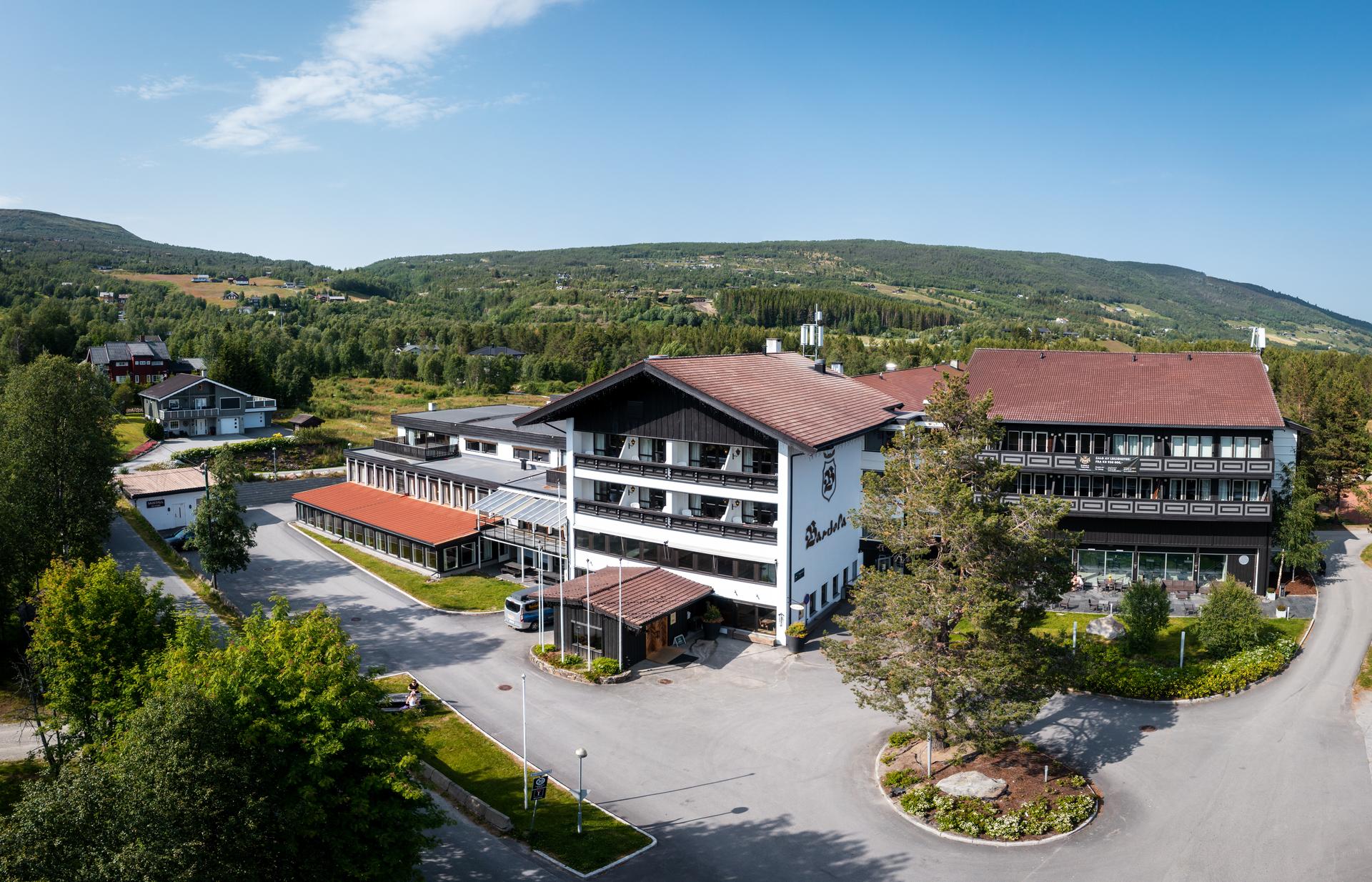
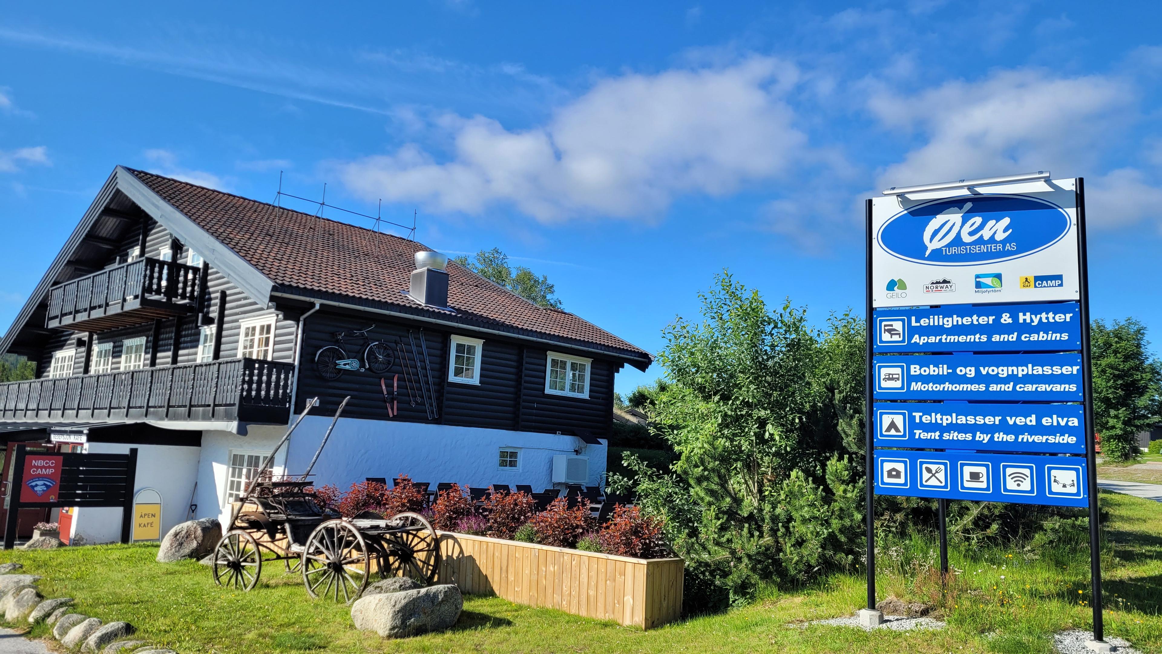
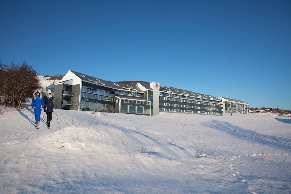
Übrigens: Wenn Sie Ihre Route in Haugastøl beginnen und in Eidfjord beenden, gibt es noch mehr zu entdecken!
Fahren Sie weitere 15 Minuten westlich über die imposante Hardangerbrücke und erleben Sie die überwältigende Landschaft des Hardangerfjords – und eine weitere spektakuläre Panoramastrecke:
Wissenswertes und Tipps für den Roadtrip
Aufgrund der Höhenlage und des unbeständigen Wetters ist die beste Reisezeit von April bis Oktober.
Die Straße ist auch im Winter geöffnet, wird aber oft nur im Konvoi befahren und kann zeitweise gesperrt sein. Auch weidende Rentiere können im Winter zu Sperrungen führen. Wagen Sie sich in der kalten Jahreszeit nur dann auf die Straße, wenn Sie Erfahrungen mit Winterbedingungen haben.
Die Aussichtsplattformen am Vøringsfossen sind im Winter wegen Schnee und Eis gesperrt.
Informationen für Radfahrer: Ein guter Ausgangspunkt ist Haugastøl. Beachten Sie, dass die Straße im Sommer stark befahren ist und sich das Wetter rasch ändern kann. Mehrere Felsstürze führten zur Sperrung der alten Straße, und die Strecke durch das Måbødalen-Tal ist für Radfahrer wegen der vielen Tunnel gesperrt. Wenn Sie nach Eidfjord und weiter nach Westen wollen, können Sie von der Hochebene den Bus nehmen.
Quelle: Norwegische Landschaftsrouten
Landschaftsroute Hardangervidda
Entdecken Sie die Höhepunkte der Hardangervidda!
Erfahren Sie mehr

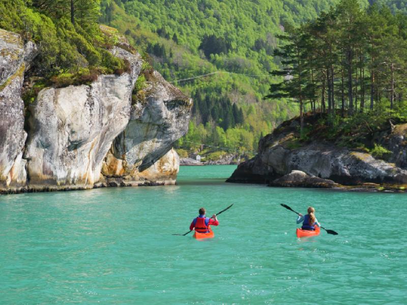
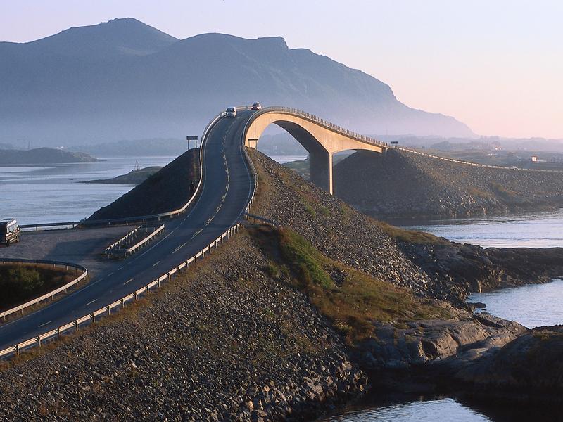

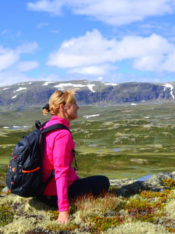
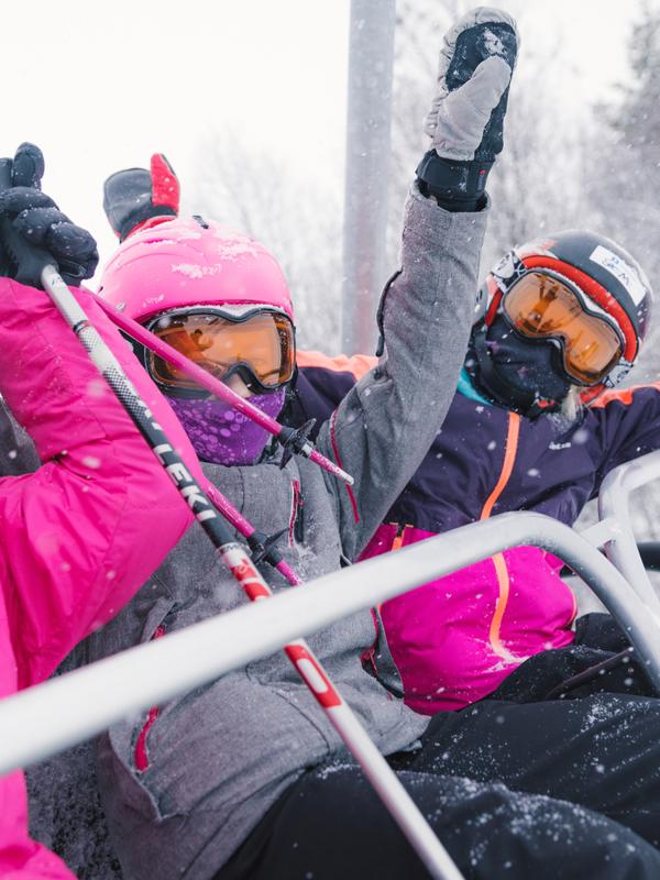
Norwegische Landschaftsrouten
Entdecken Sie die schönsten Roadtrips Norwegens! Erfahren Sie, was Sie entlang der Routen erleben können – Geheimtipps, Unterkünfte und lohnenswerte Abstecher.
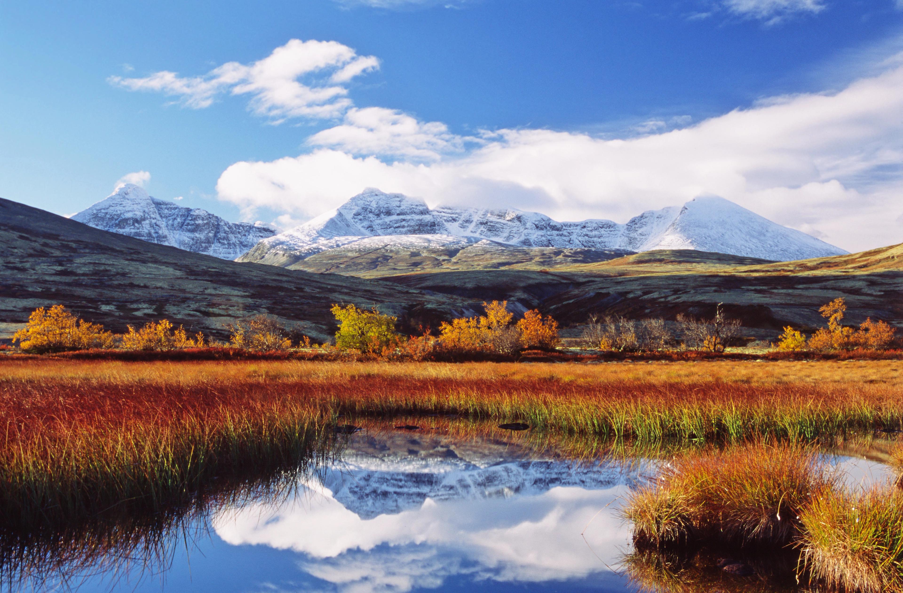
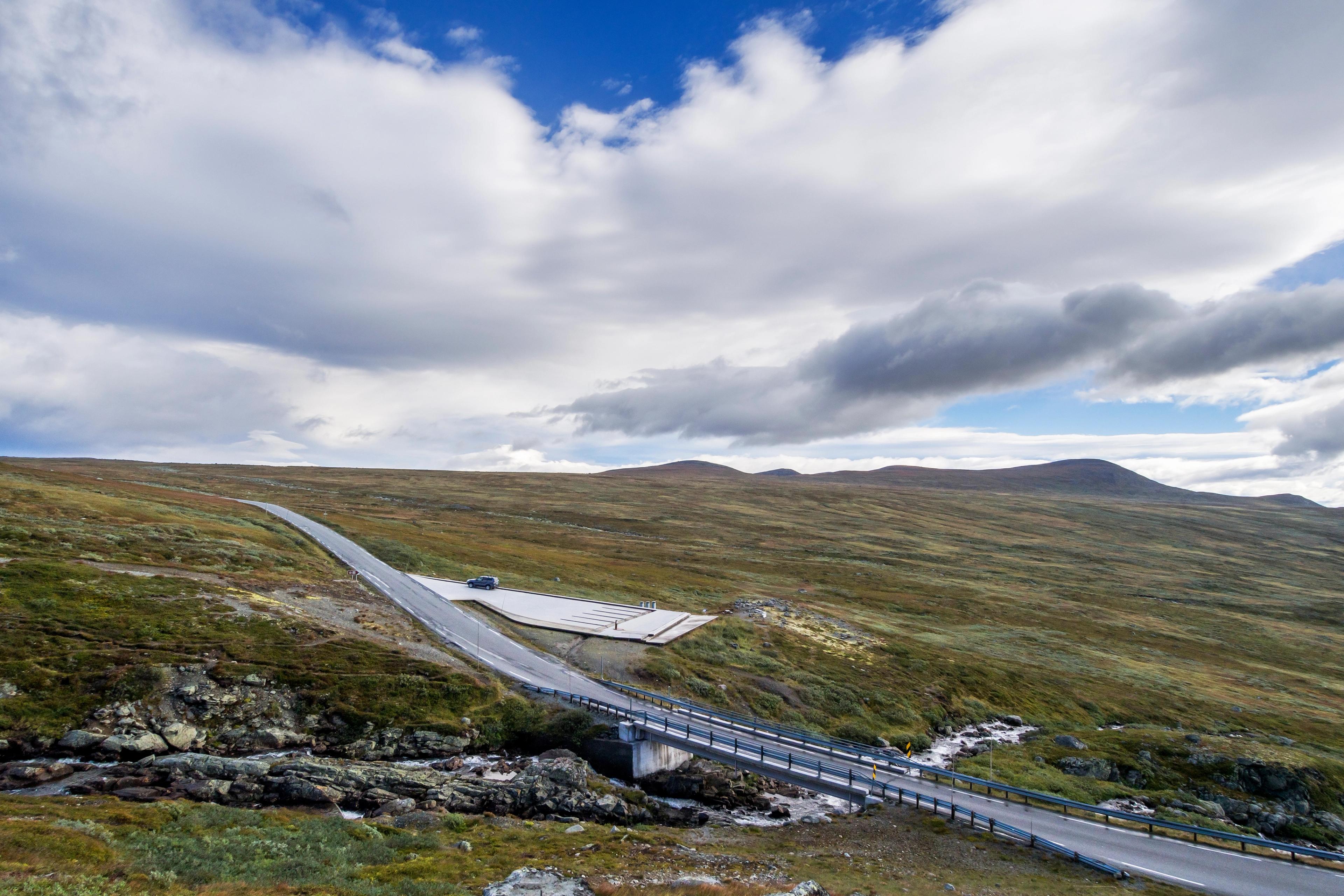

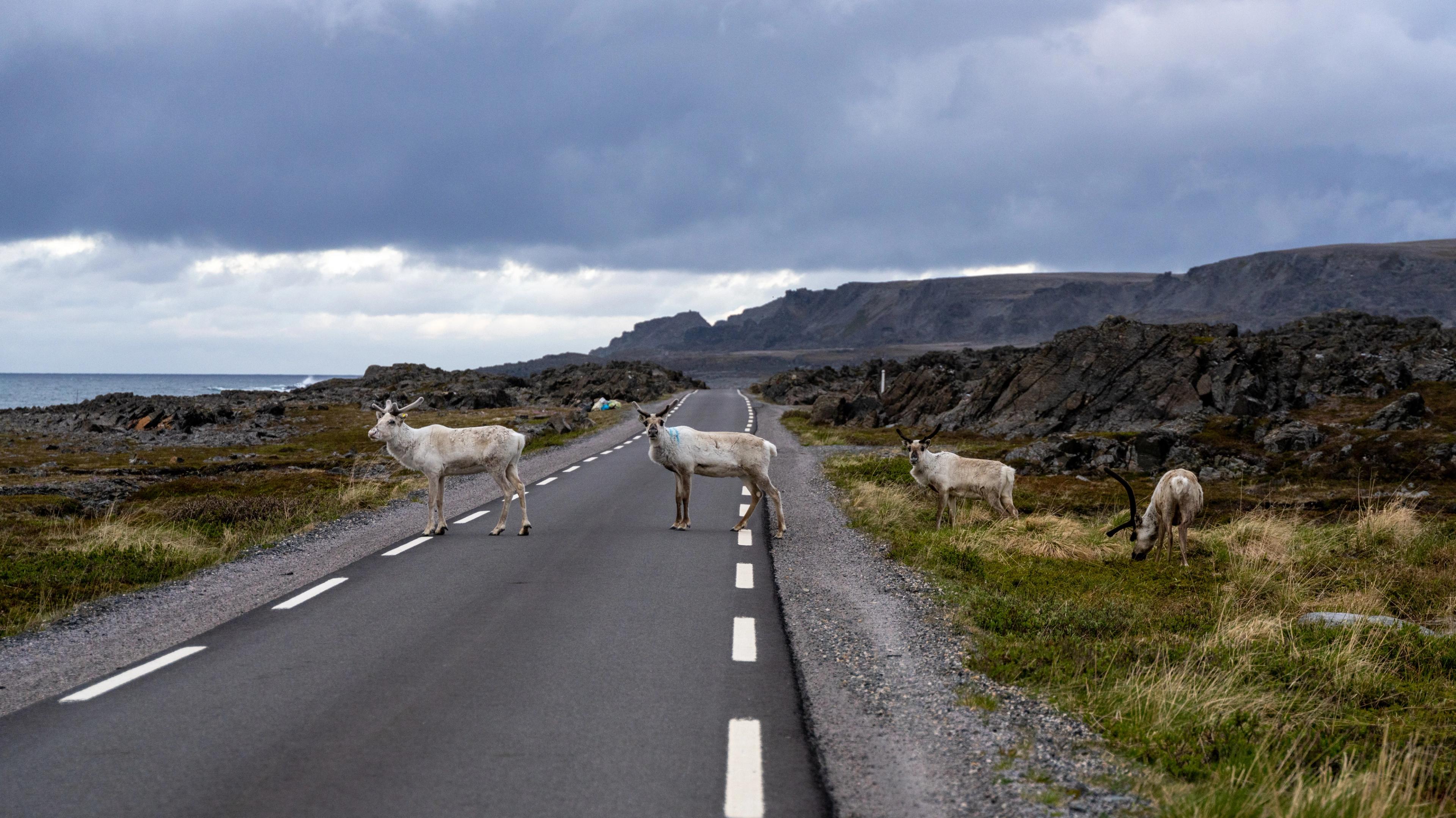
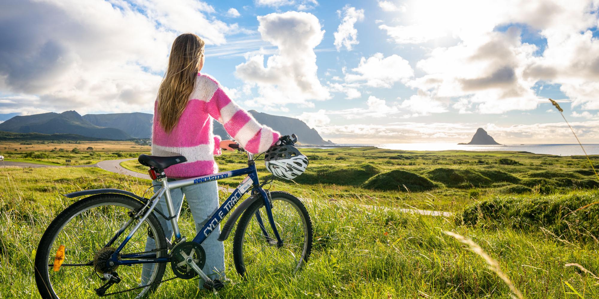
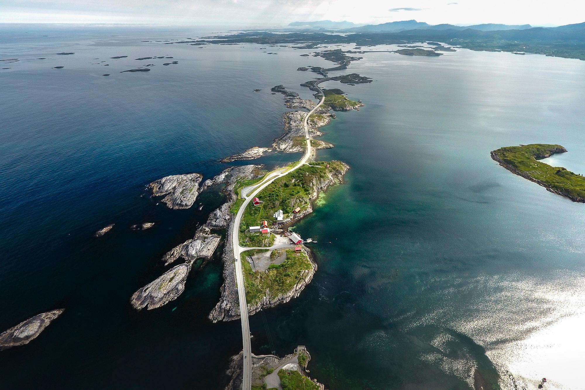
 9 Days ・ All yearBook now
Fjords & Hurtigruten
Fjords, scenic railways & coastal cruiseEmbark on a 2-day Norwegian coastal cruise, visit Bergen, Oslo, Trondheim, the Nærøyfjord, the Geirangerfjord (summer) or Hjørundfjord (autumn) and ride the scenic Bergen, Flåm and Dovre Railways. / Authentic ScandinaviaPreis Von 16 630 NOK 9+ Days ・ All yearBook now
Coast & fjords of Norway
Oslo, Bergen, fjords, Pulpit RockExperience the highlights of Southern Norway, including the Norwegian fjords and coast, scenic railways, the Pulpit Rock and the cities of Oslo, Bergen, Stavanger, and Kristiansand. / Authentic ScandinaviaPreis Von 16 775 NOK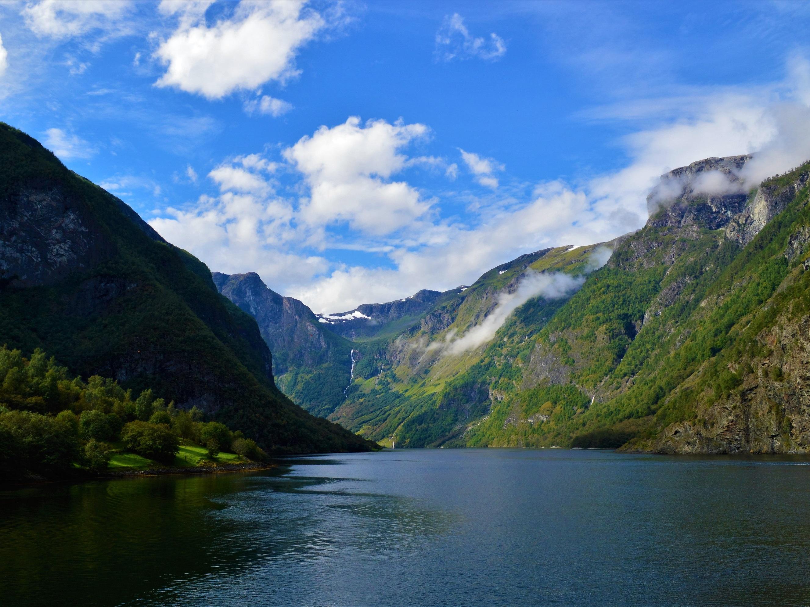 4+ Days ・ All yearBook now
Oslo, Bergen & fjord experience
Oslo, Flåm & BergenExperience the amazing Norwegian fjords. Travel by train on the Bergen & Flåm Railways, spend the night in beautiful Flåm, and join a cruise on the Nærøyfjord. / Authentic ScandinaviaPreis Von 6 745 NOK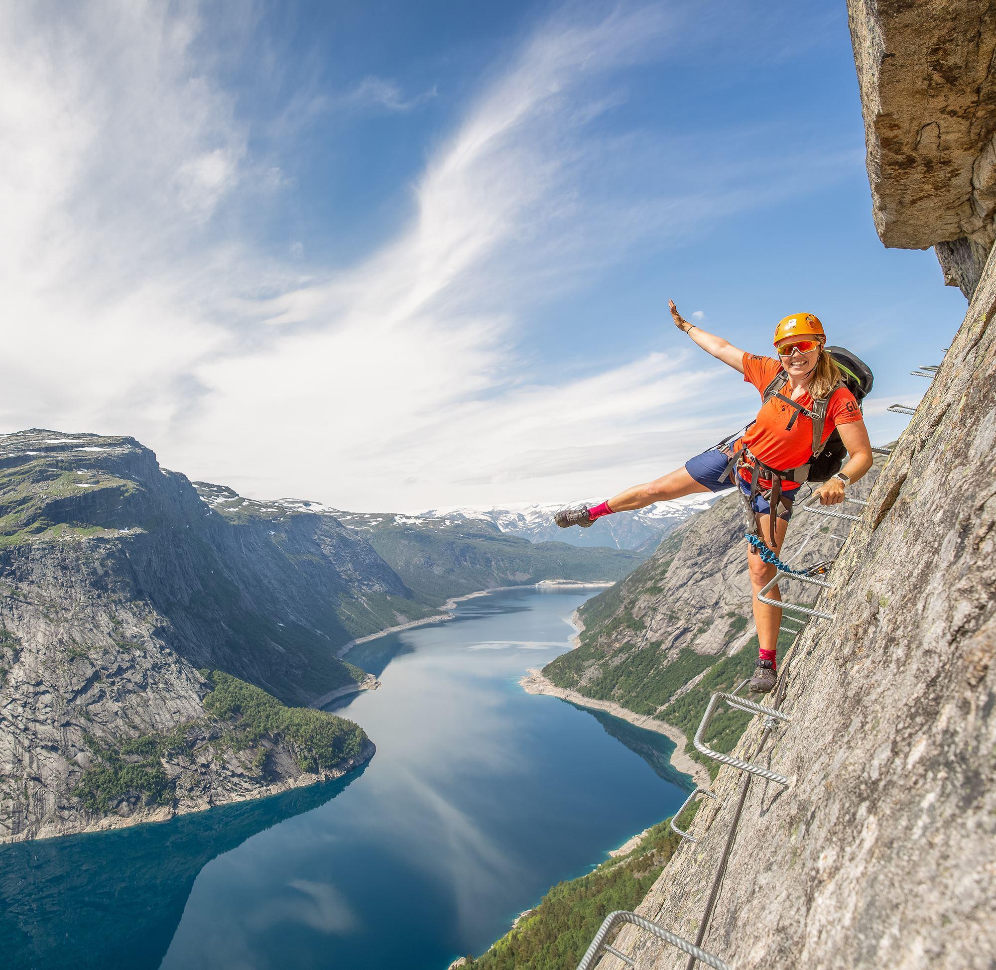 28 Hours ・ June - NovemberBook now
Trolltunga via ferrata and dome stay
Trolltunga climb with sunset dome accommodationClimb up the steep face of the mountain on a via ferrata and spend the night in a unique transparent dome on the Trolltunga plateau. Dinner, breakfast, and equipment included. / Booknordics.comPreis Von 4 950 NOK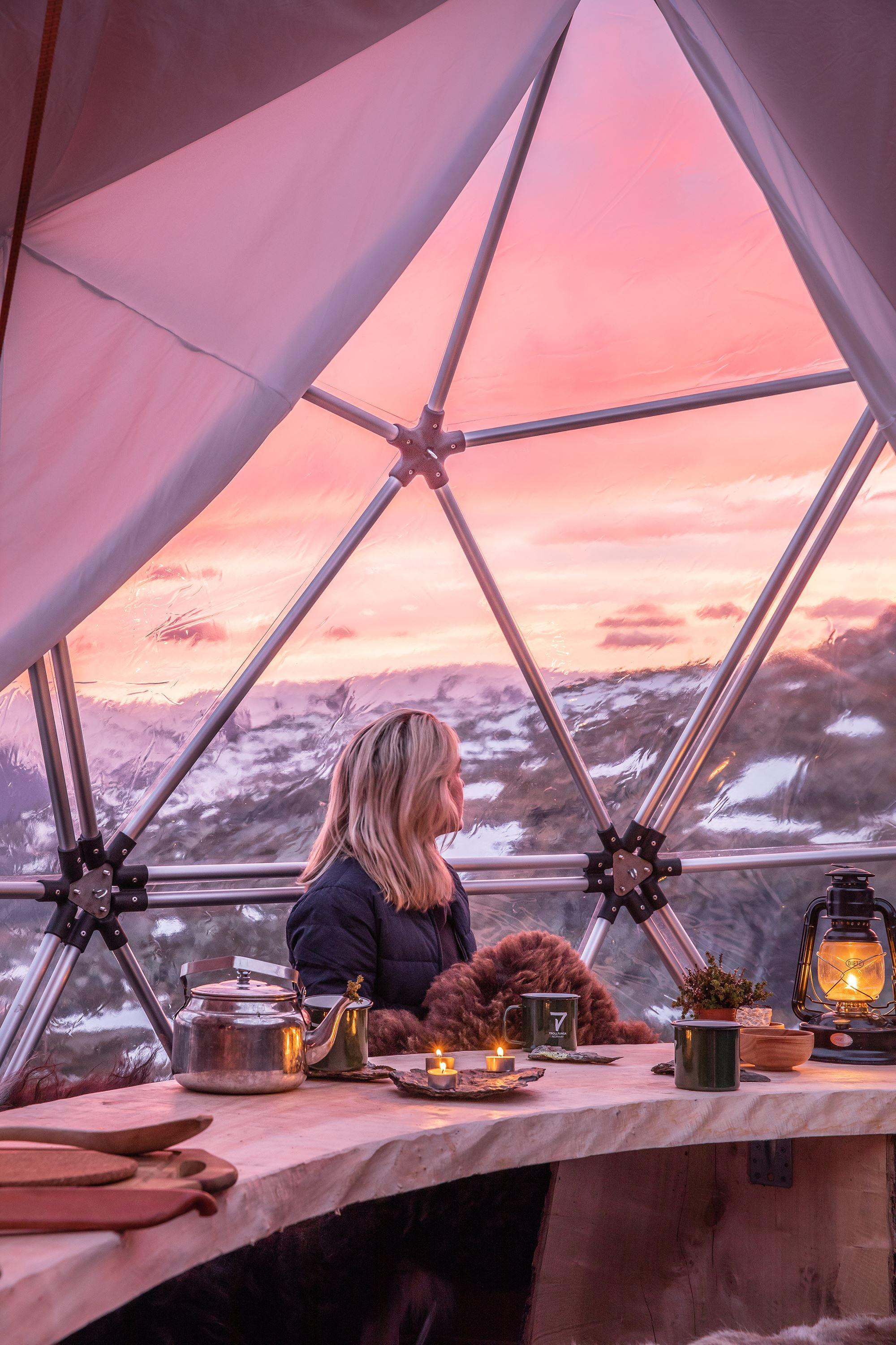 28 Hours ・ May - OctoberBook now
Trolltunga hike and dome stay
Sunset and sunrise from TrolltungaJoin us on an adventurous hike to the Trolltunga plateau and spend your night in a comfortable dome. Dinner, breakfast, and gear included. / Booknordics.comPreis Von 4 550 NOK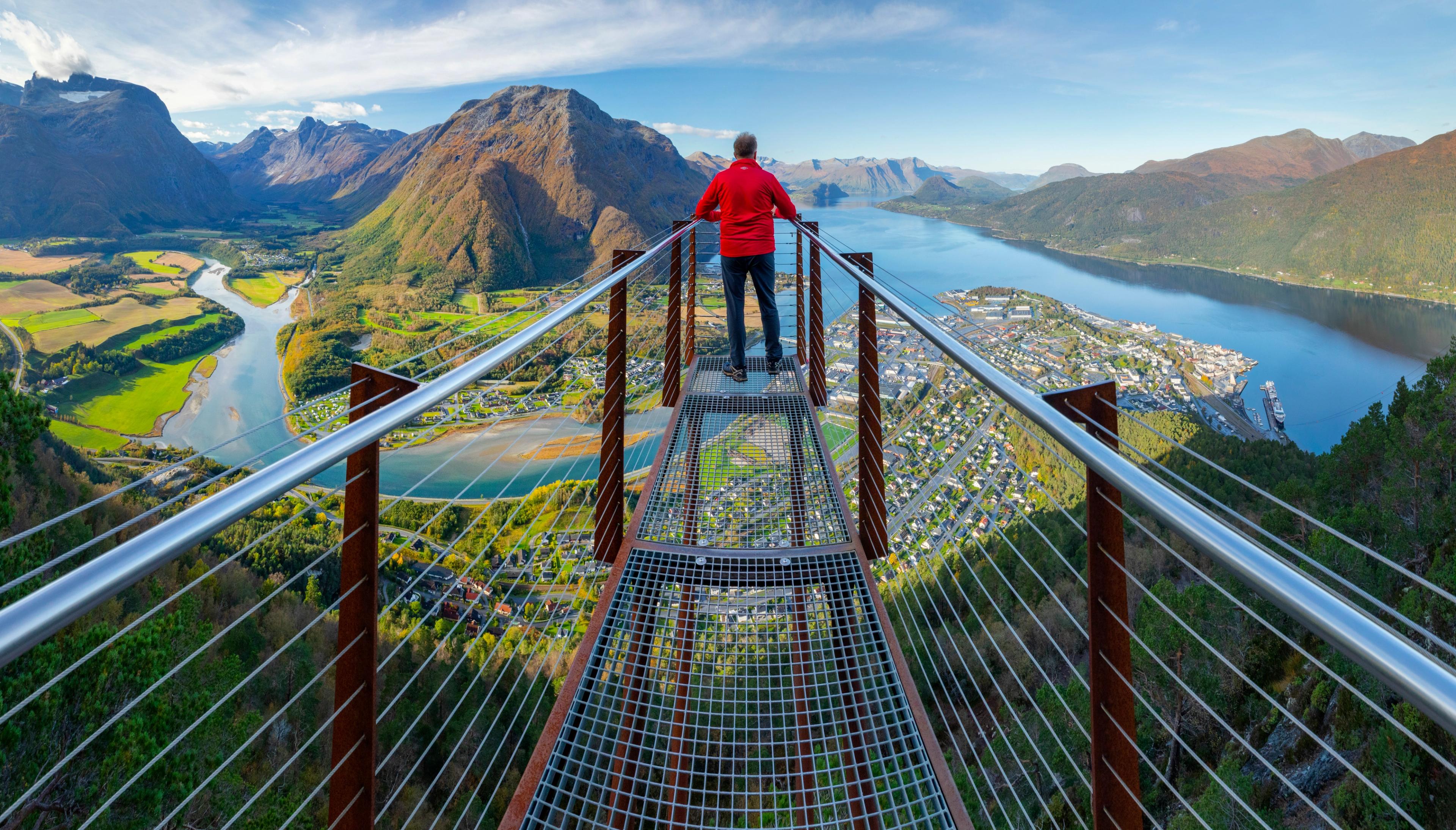 17 Days ・ May - SeptemberBook now
Escorted tour Oslo - Bergen - Trondheim
Visit the stave church at Lom and experience the Sognefjord and Gudbrandsdalen valleyJoin the Norway in a Nutshell journey, with ride on scenic trains and express boats along the coast, and enjoy two skylift gondola rides and scenic routes, including Trollstigen. / 50 Degrees North NordicPreis Von 68 975 NOK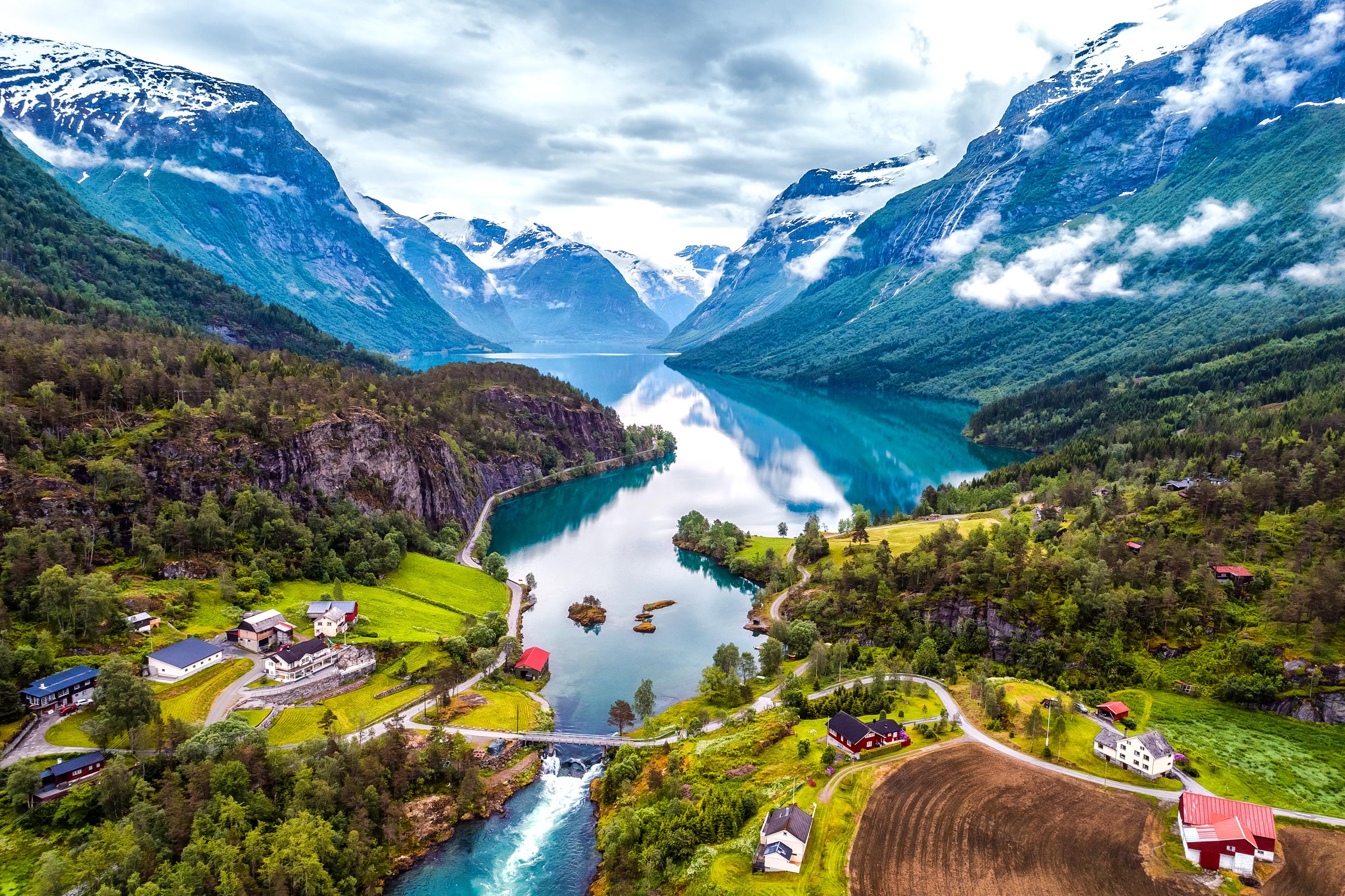 10 Days ・ June - SeptemberBook now
Scenic fjords of Norway
Experience the fjords on this premium group tourTour the Western Fjords of Norway, starting from Bergen and finishing in Trondheim on this escorted tour. Travel along the coast on an express boat before driving the Trollstigen Road and Atlantic Highway. Stay in historic waterfront and fjord hotels along the way. / 50 Degrees North NordicPreis Von 43 835 NOK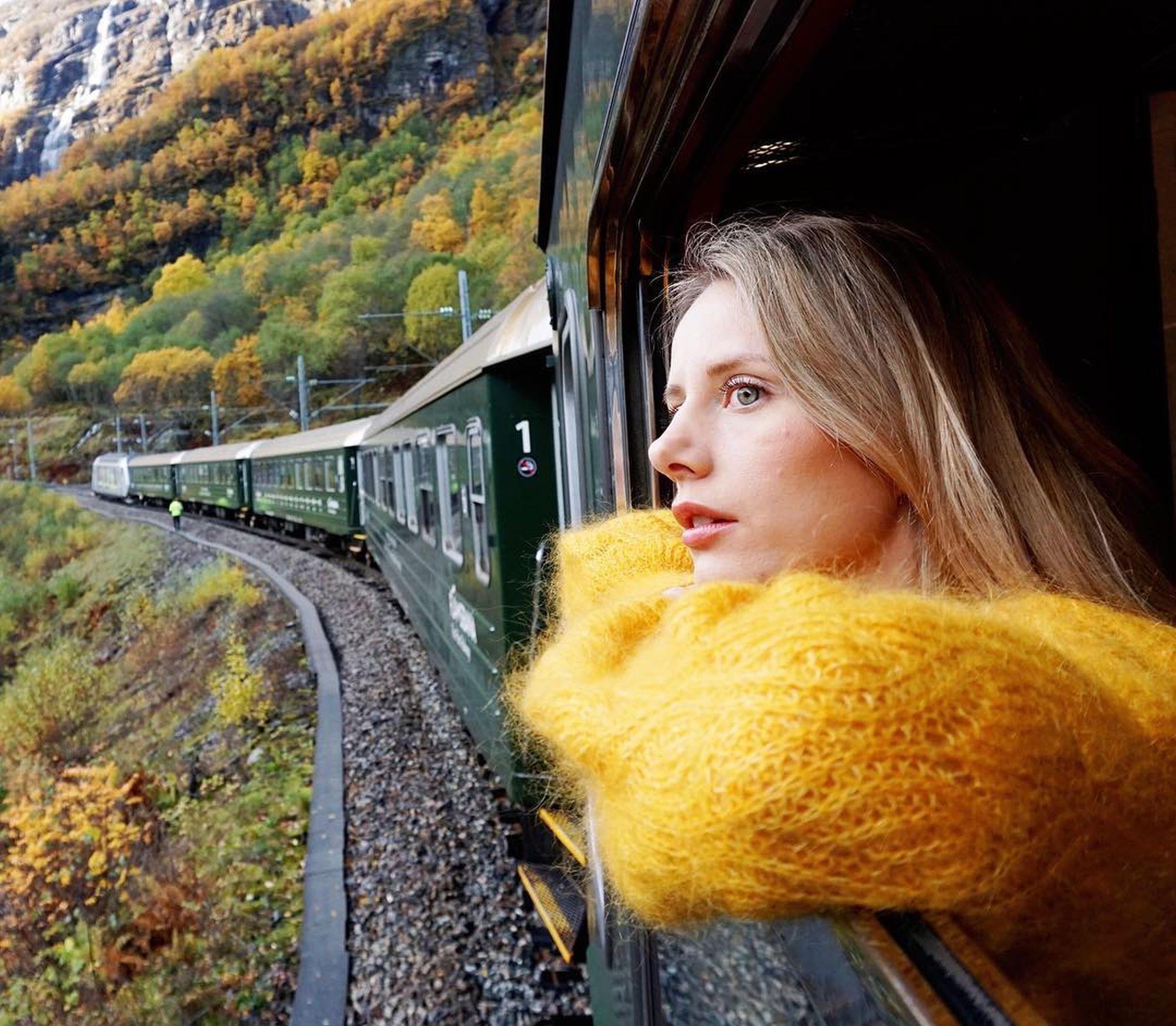 1+ Days ・ All yearBook now
Norway in a Nutshell®
Norway's most popular tourThis legendary tour takes you through Norway’s most breathtaking UNESCO-listed fjord and mountain scenery, and includes a ride one of Europe’s top scenic rail journeys. / Fjord ToursPreis Von 2 460 NOK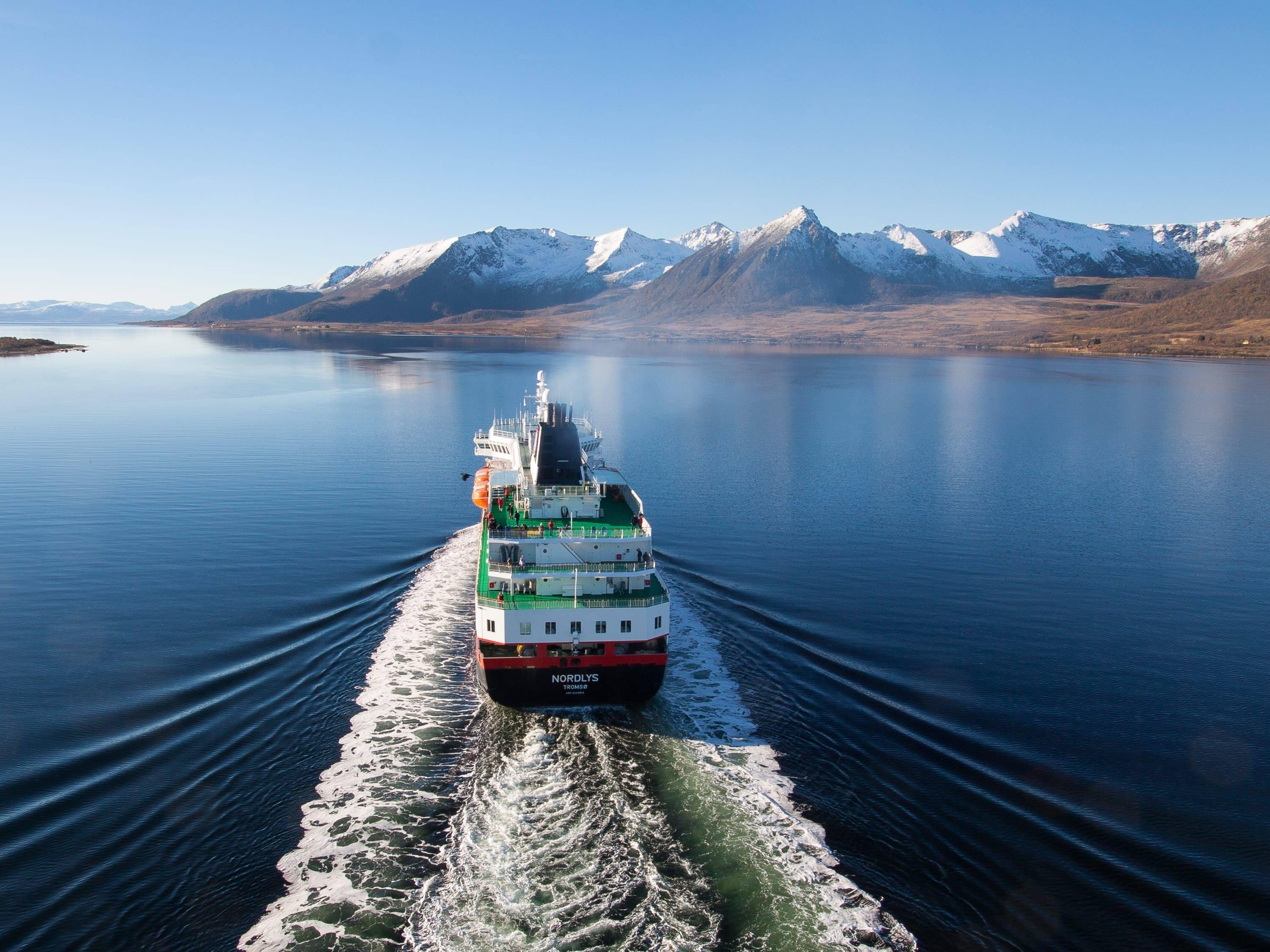 12+ Days ・ All yearBook now
Grand tour of Norway
Oslo, Flåm, Bergen & Hurtigruten cruiseAn amazing rail tour from Oslo via the Norwegian fjords to Bergen. From Bergen you will continue on a 7-day cruise through incredible scenery along the Norwegian coast to Kirkenes. / Authentic ScandinaviaPreis Von 23 205 NOK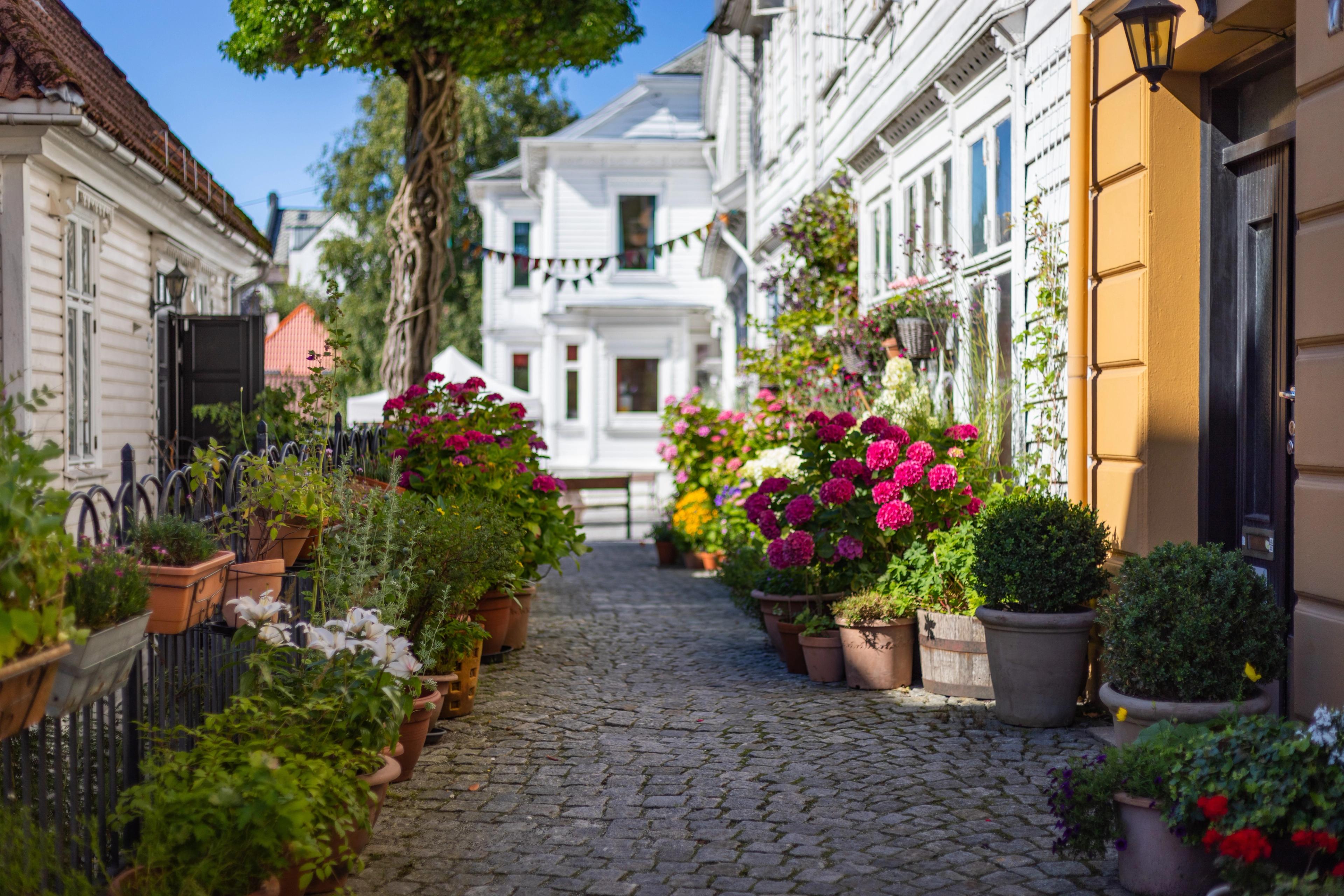 8 Days ・ May - SeptemberBook now
Beautiful Norway
Touring Fjord Norway on our premium mini-coachIndependent tour from Oslo to Bergen using our premium mini-coach to explore 'off the beaten track' fjord locations. / 50 Degrees North NordicPreis Von 23 875 NOK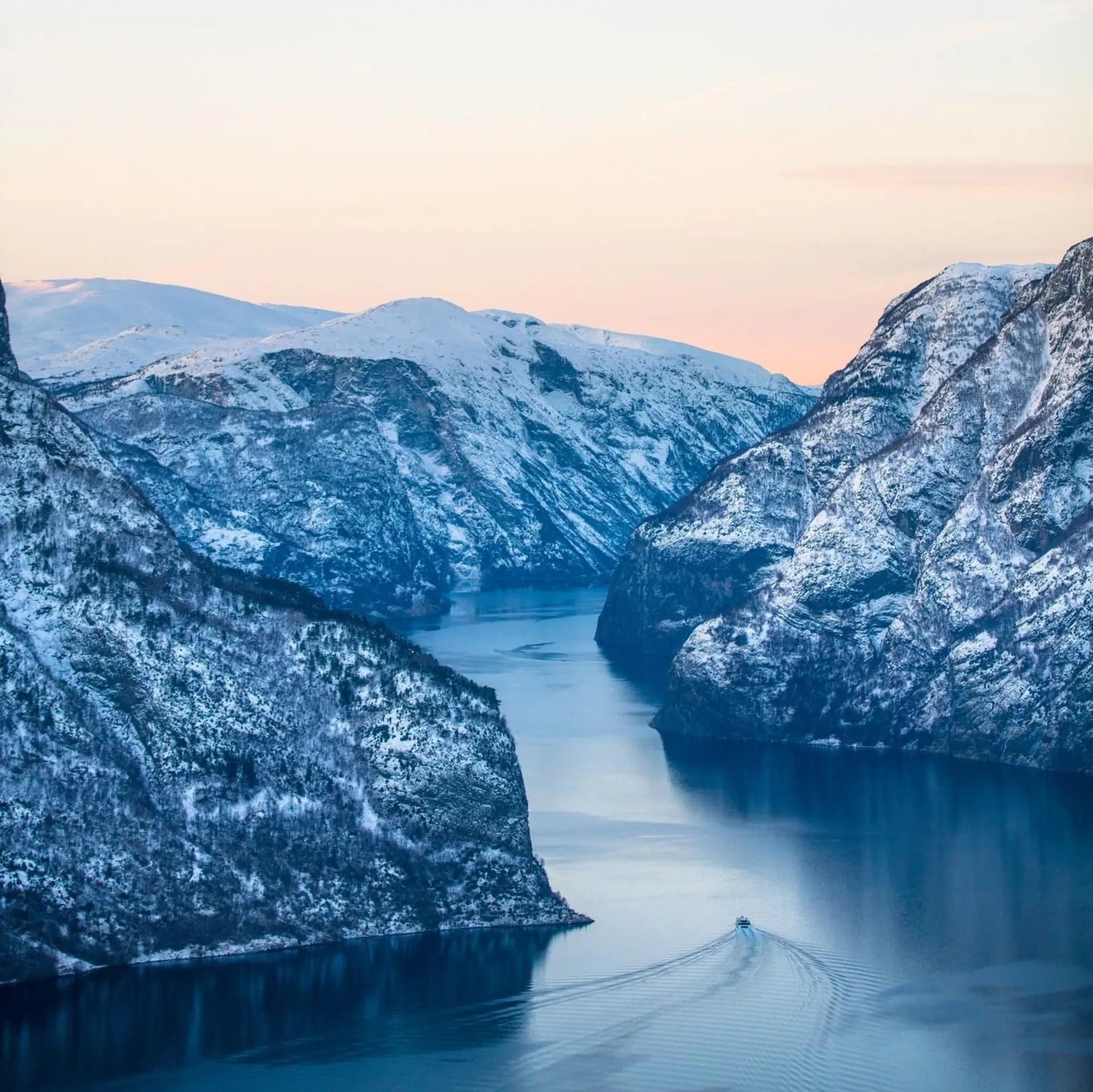 1+ Days ・ October - AprilBook now
Norway in a Nutshell® winter tour
Norway's most popular tourOn this amazing winter tour, you travel through some of Norway's most beautiful fjord and winter scenery. The tour takes you through Norway’s most breathtaking UNESCO-protected fjord and mountain scenery, as well as a trip on Europe’s top scenic rail journey. / Fjord ToursPreis Von 2 270 NOK 12 Days ・ March - OctoberBook now
Bergen, Ålesund & beyond
Fjords and UNESCO World Heritage SitesFind a place where time stands still, feel the wind gently touch your face, and taste the richness that lives in the soil. Discover people and places that touch your heart. / Up NorwayPreis Von 87 450 NOK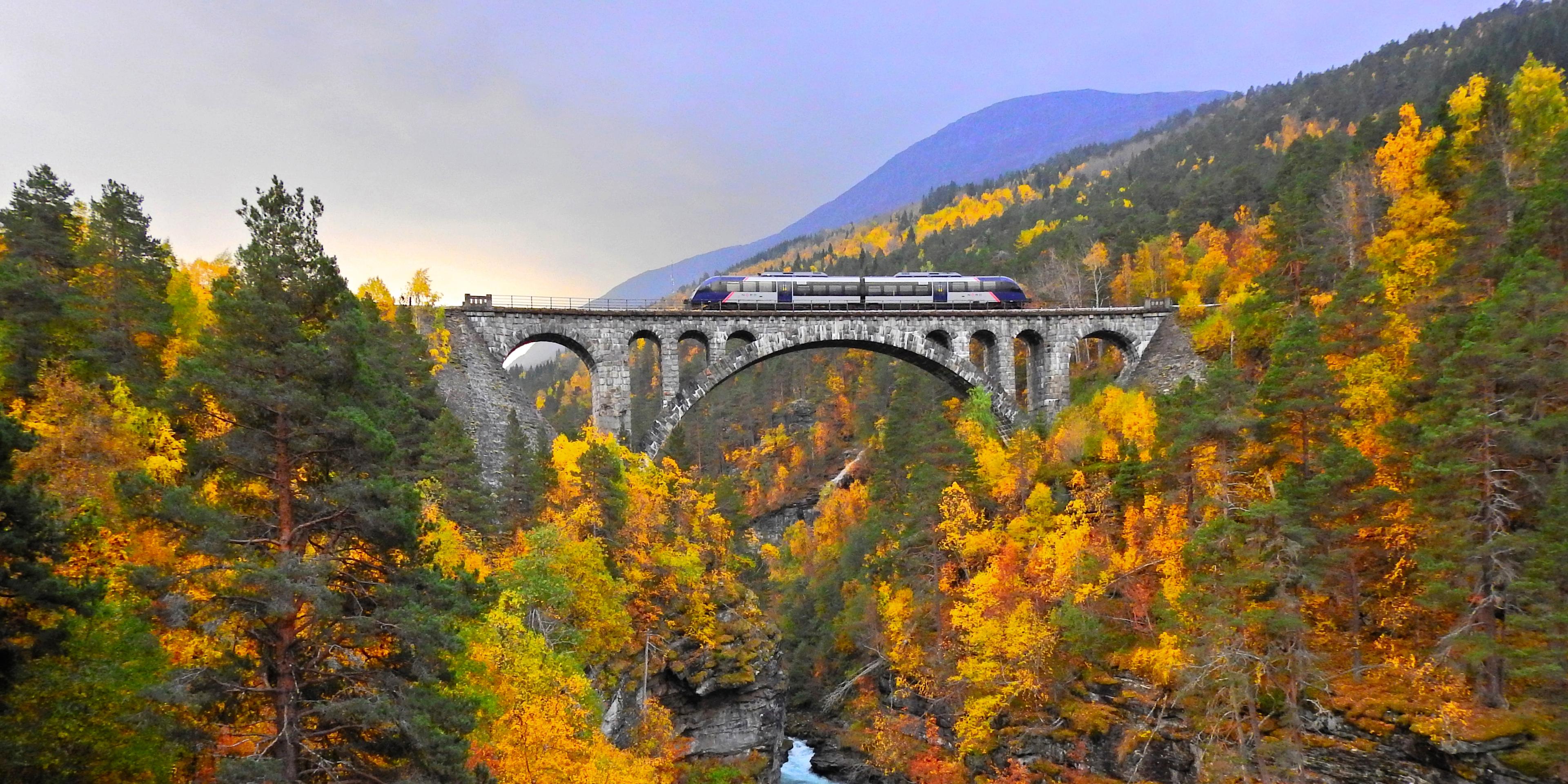 12 Days ・ May - SeptemberBook now
The Arctic circle express
Slow Travel is Back in FashionTake your seat on an epic rail journey through tranquil landscapes peppered with majestic mountains, fjords and waterfalls – on foot, by boat or even in a kayak. / Up NorwayPreis Von 59 000 NOK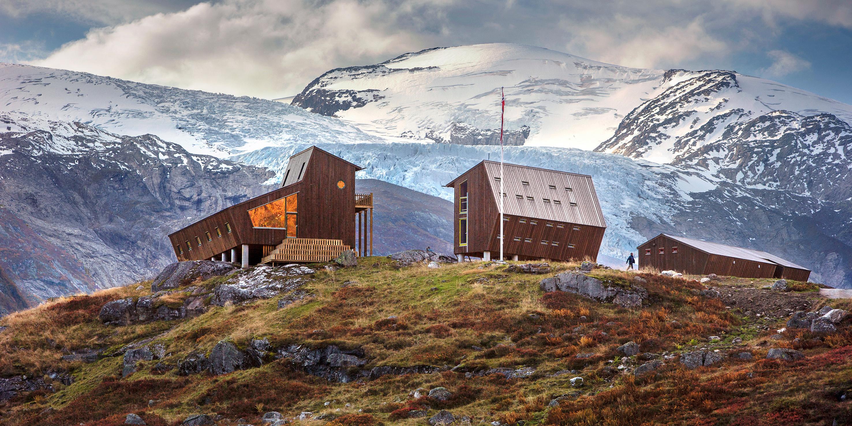 13 Days ・ April - OctoberBook now
Norwegian folklore
Road-trip through entrancing landscapesExperience the same landscapes that have entranced Norway's most famous artists for centuries while travelling through mountains, fjords and coastal landscapes, and from cities to villages. / Up NorwayPreis Von 67 100 NOK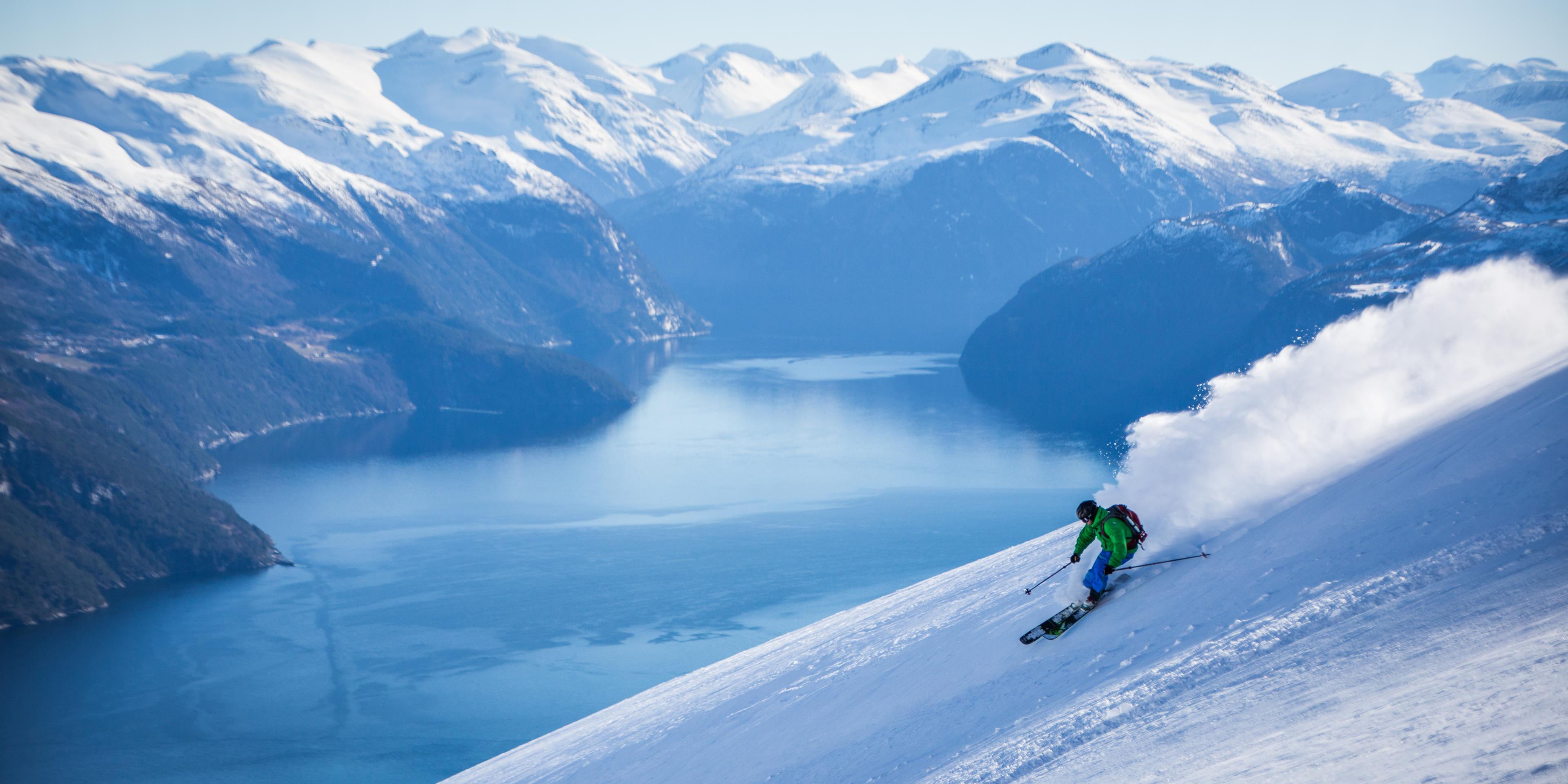 4 Days ・ January - AprilBook now
Ski down the fjords
Ski on peaks and plunging fjordsExperience the snow-covered Sunnmøre Alps, known for their world-class towering peaks and majestic fjord views. We guarantee you will return with batteries fully recharged. / Up NorwayPreis Von 20 350 NOK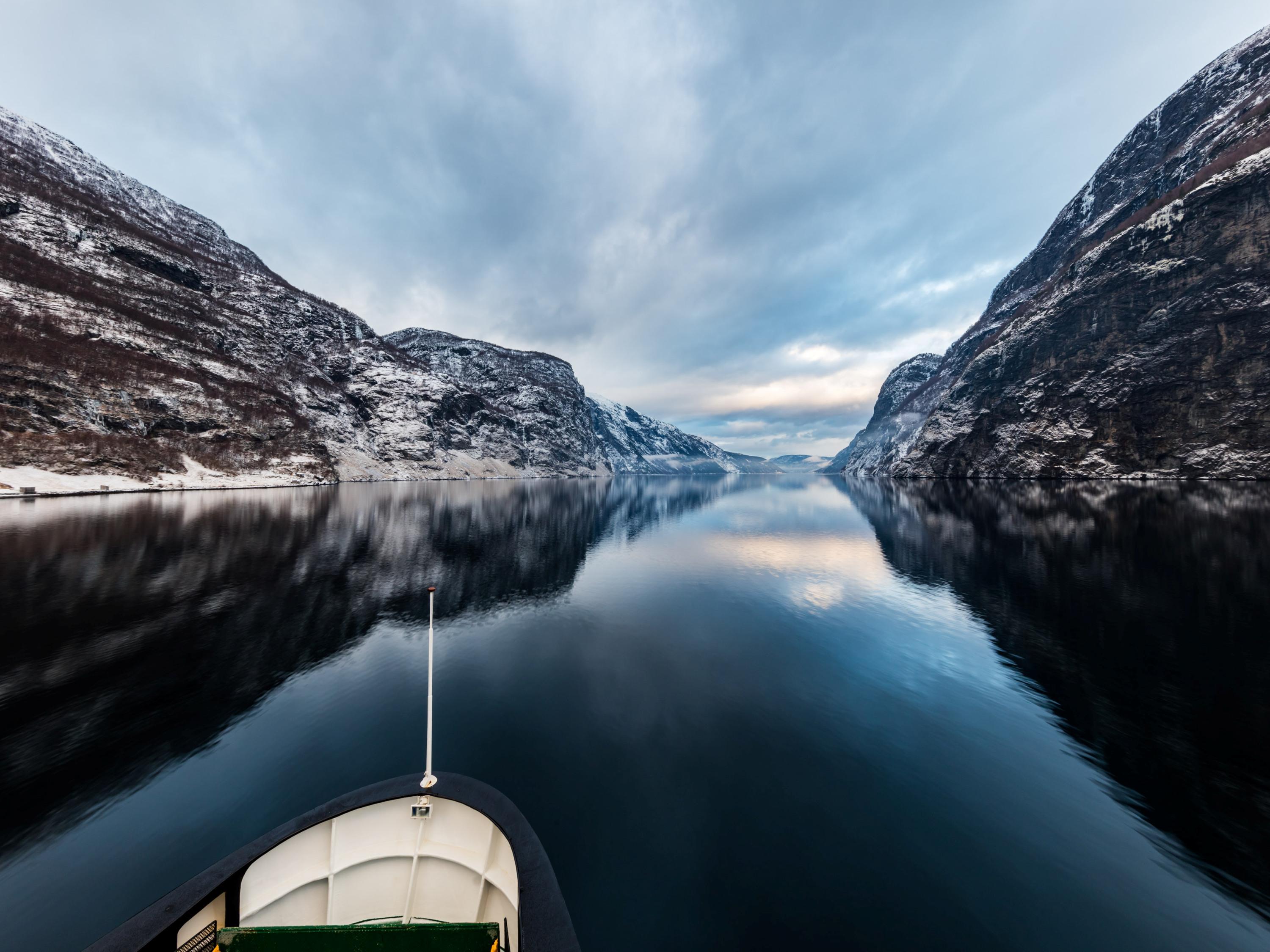 6+ Days ・ September - MarchBook now
Fjords & northern lights
Oslo, Bergen, Flåm and TromsøWinter adventure. See the fjords and the Arctic city of Tromsø. Winter activities like dog sledding, a northern lights safari, and much more can be added. / Authentic ScandinaviaPreis Von 10 170 NOK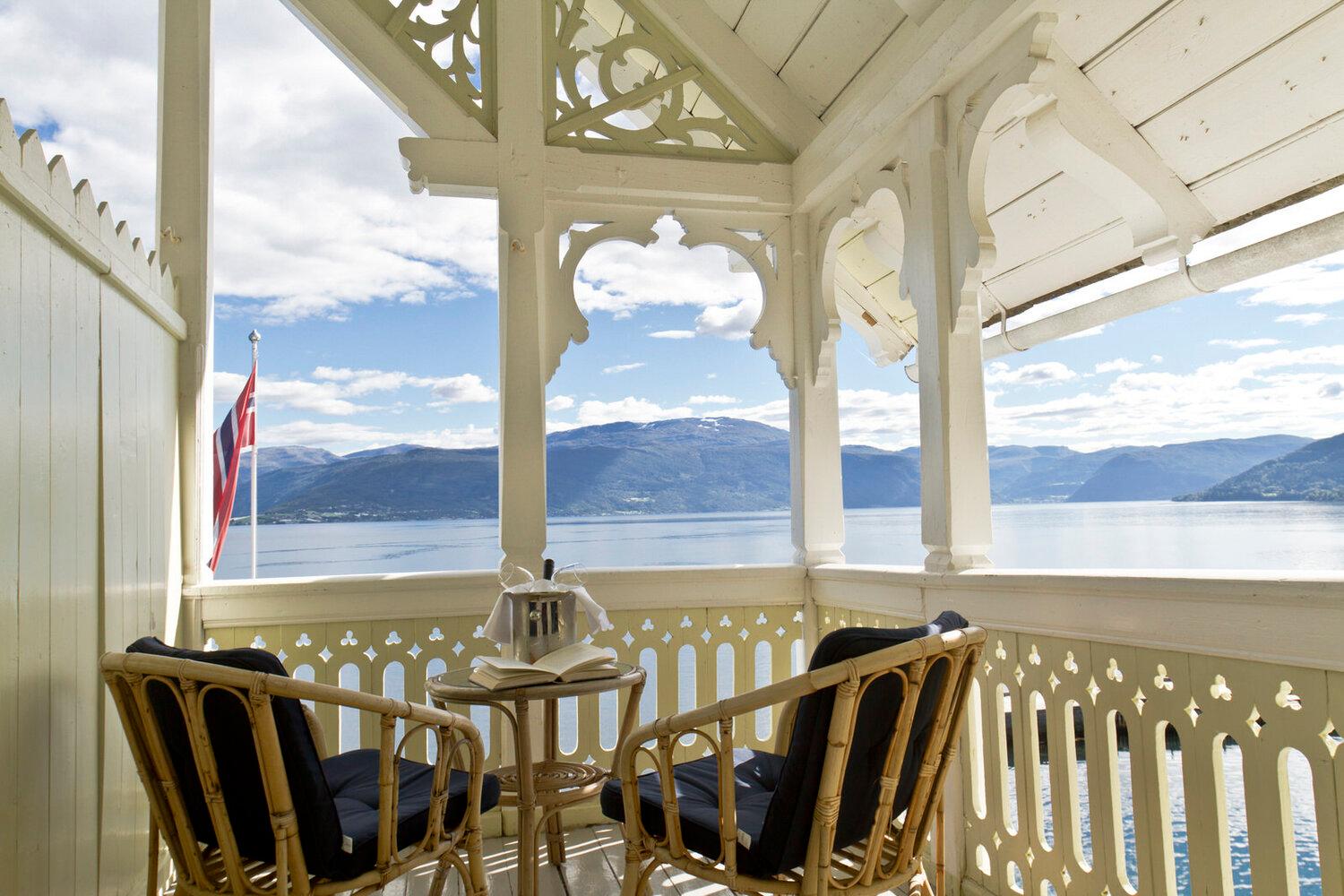 6 Days ・ June - AugustBook now
Kviknes hotel, Norway fjords and Bergen
All the fjord favourites in one tourThis classic self-guided fjord tour will have you sailing under towering fjord cliffs and RIB boating along the stunning fjords. Explore Hanseatic heritage and enjoy the warm hospitality of Norway's former capital, Bergen. / 50 Degrees North NordicPreis Von 19 072 NOK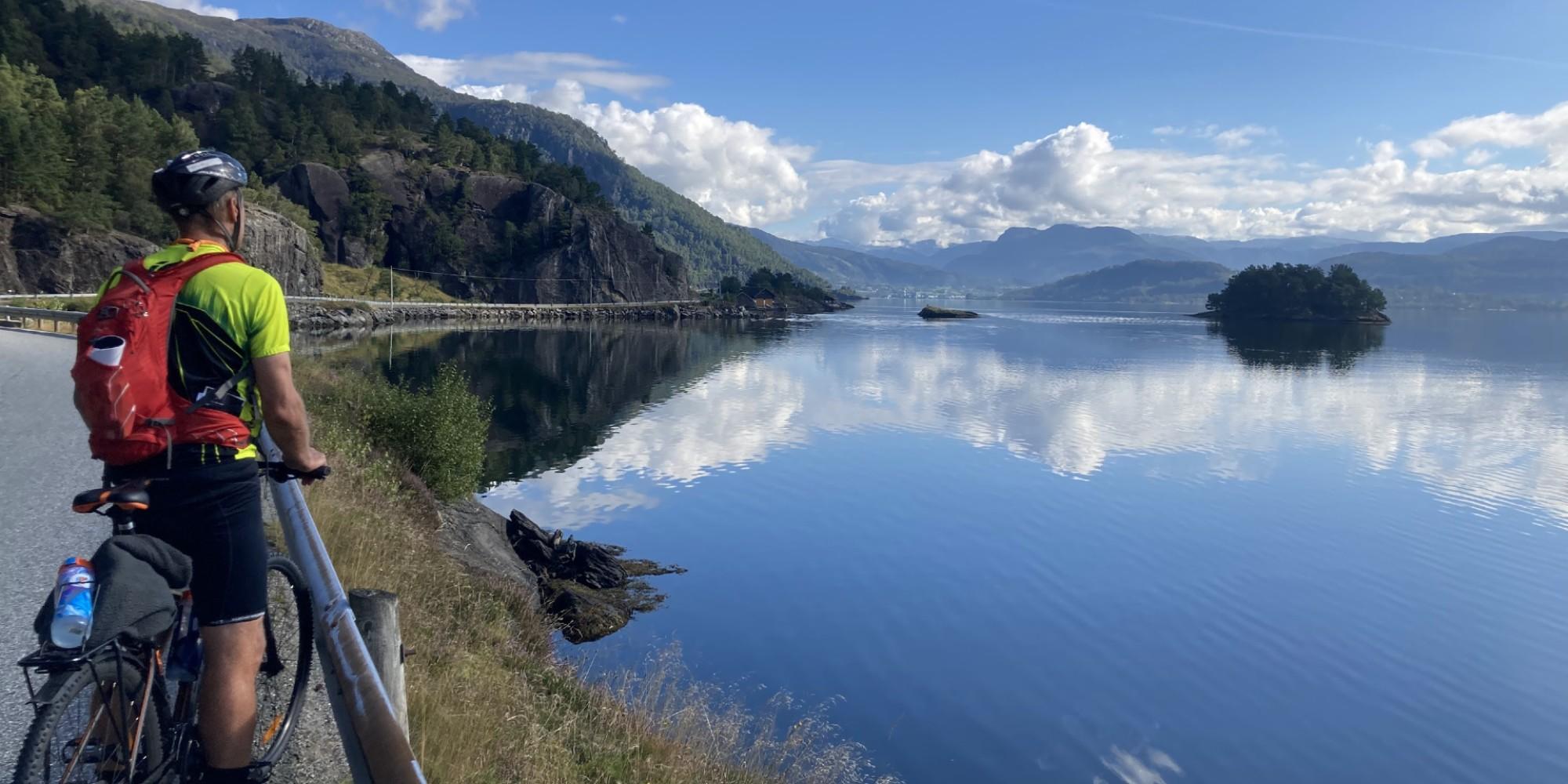 6 Days ・ June - SeptemberBook now
Bike tour south of Bergen
Fjords and coastal landscapesSelf-guided roundtrip from Bergen. Beautiful surroundings and delicious culinary experiences. Includes express boat, accommodation, meals, luggage transfer and more. / Discover NorwayPreis Von 15 750 NOK 6+ Days ・ All yearBook now
Discover fjord Norway
Oslo, Bergen, fjords & mountainsIndependent rail tour including Oslo, Bergen and Vatnahalsen. Experience scenic railways and breathtaking fjords as you travel across the mountain to the Norwegian fjord region. / Authentic ScandinaviaPreis Von 9 550 NOK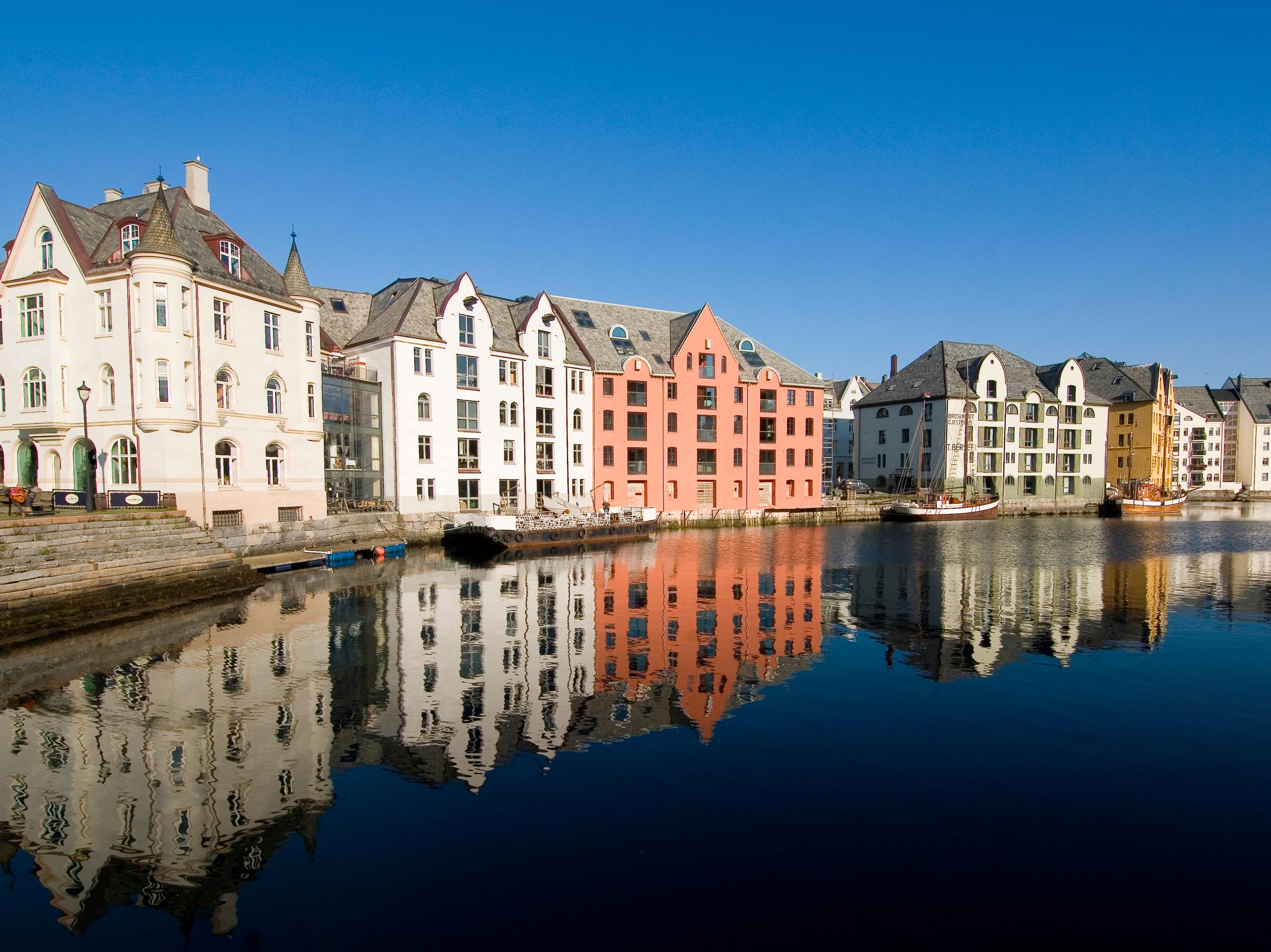 9+ Days ・ June - SeptemberBook now
The golden route
Oslo, Geiranger, Ålesund and Bergen.Explore Oslo, Geiranger, Ålesund, and Bergen on an independent rail tour. Travel with the impressive Rauma and Bergen Railway lines and enjoy a cruise with Hurtigruten on the Geirangerfjord. / Authentic ScandinaviaPreis Von 19 945 NOK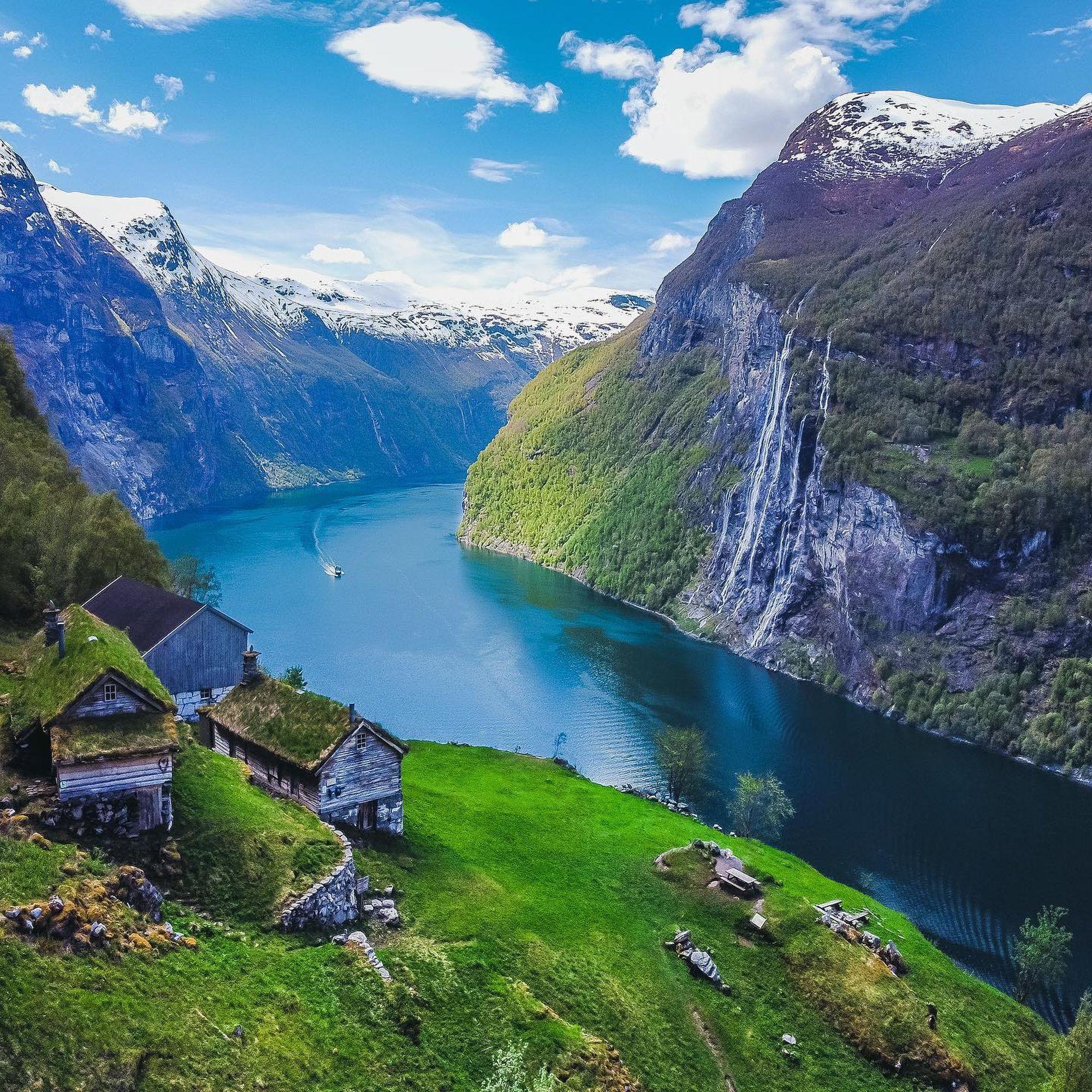 2+ Days ・ June - SeptemberBook now
Geirangerfjord in a Nutshell™ tour
The world's most beautiful fjord and the scenic TrollstigenExperience breathtaking views, majestic mountains, and the hairpin bends of Norway's most scenic mountain pass, Trollstigen. Cruise the emerald-green UNESCO Geirangerfjord, explore the beautiful coastal town of Ålesund, and enjoy some of the most Instagram-friendly scenery in the world! / Fjord ToursPreis Von 3 337 NOK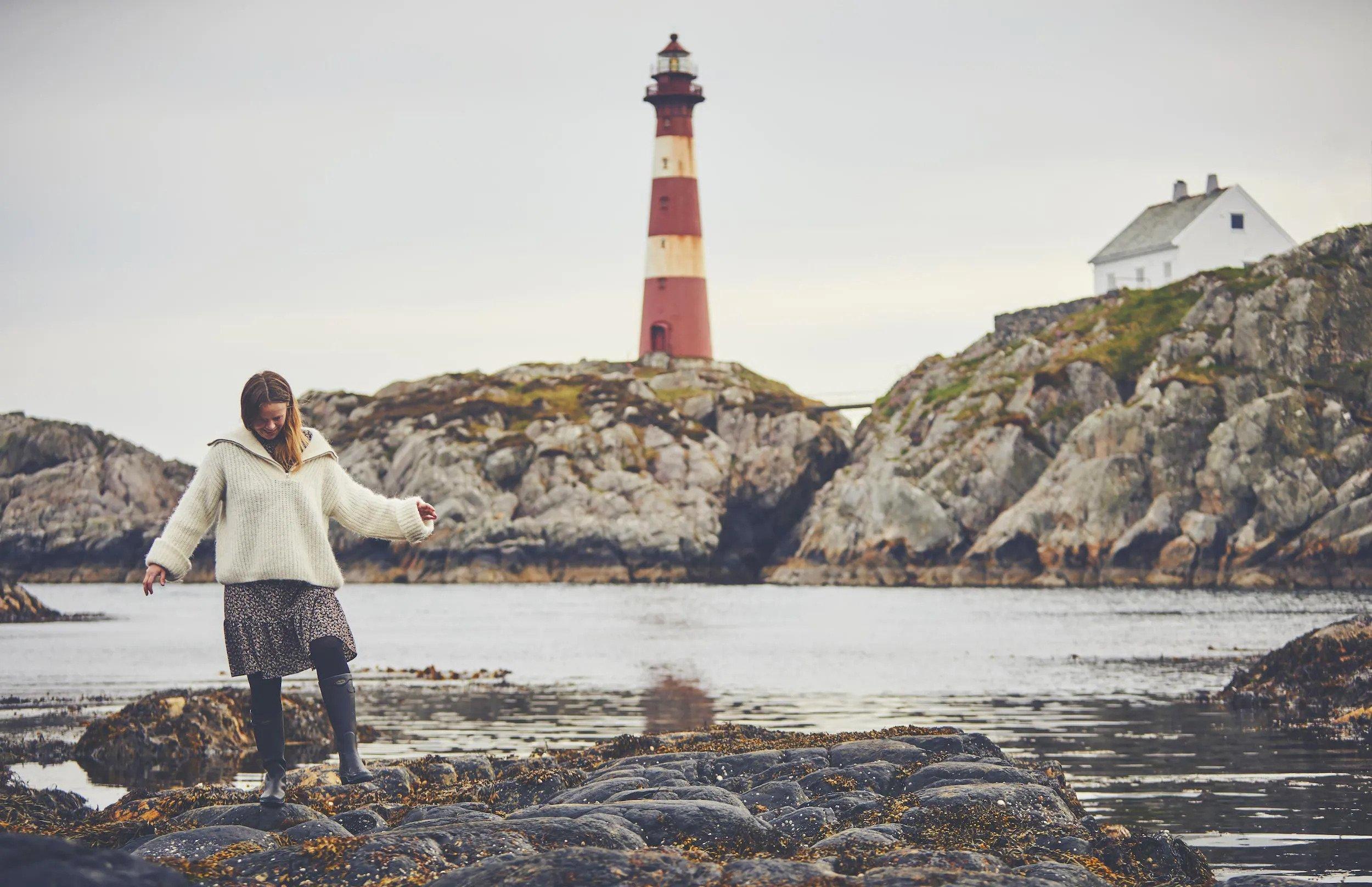 10 Days ・ All yearBook now
Norway's super women
Can full equality ever be achieved?We have curated an itinerary that invites travellers to explore Norway from a gender equality perspective, and discover why Norway ranks so highly in the UN sustainable development chart. / Up NorwayPreis Von 53 000 NOK 6+ Days ・ June - SeptemberBook now
Oslo & fjord adventure
Oslo, Bergen, downhill biking & fjord safari.Norway activity tour including Oslo, the Norwegian fjord region, Voss, and Bergen. Experience activities like cycling, fjord safaris by RIB boat, and spectacular train journeys. / Authentic ScandinaviaPreis Von 12 510 NOK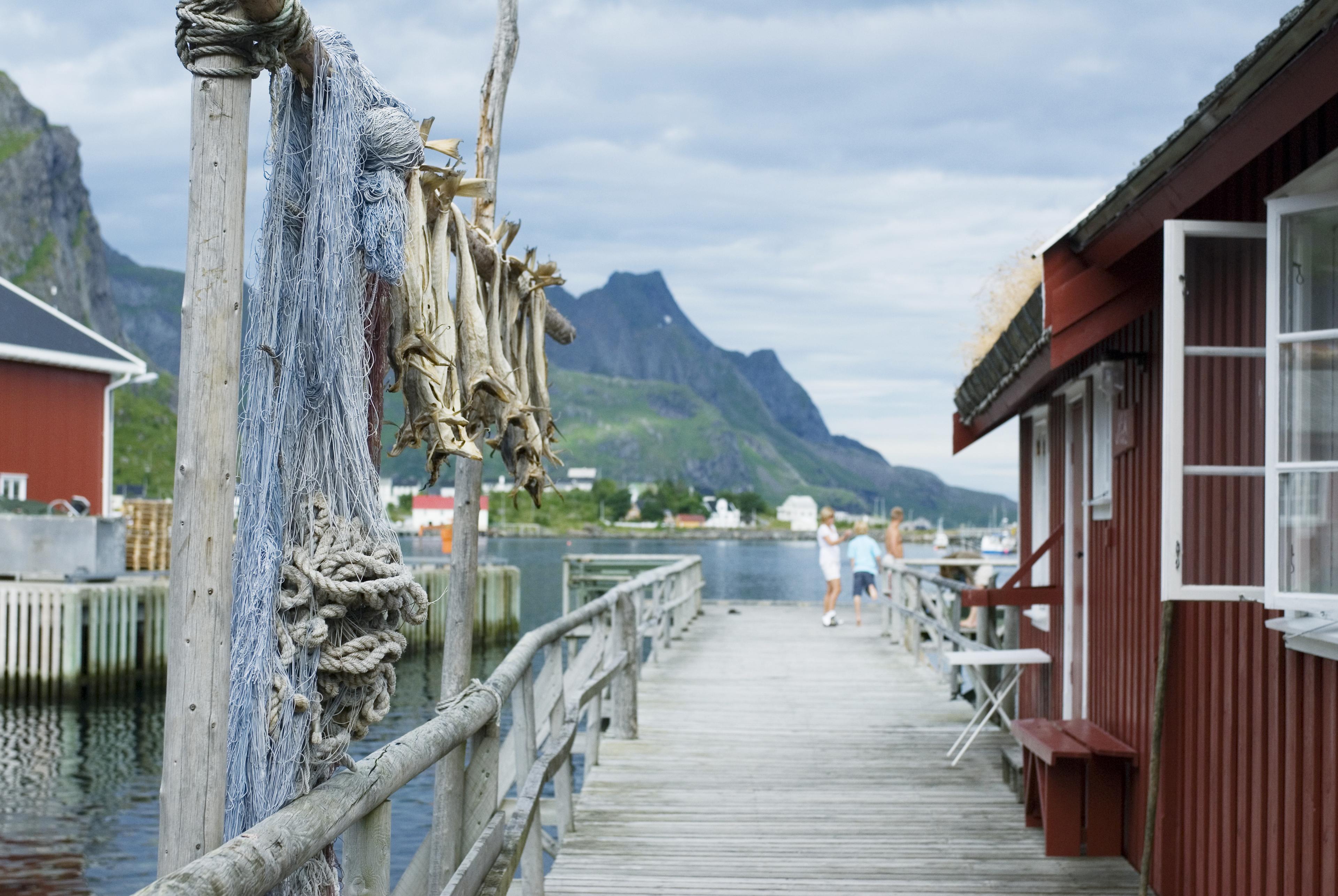 11 Days ・ April - SeptemberBook now
Norwegian Havila voyage
Bergen to Tromsø with an overnight stay in LofotenThis Norwegian Coastal Voyage from Bergen stops in at Ålesund, Geirangerfjord, Trondheim, and Saltstraumen, then disembarks for an overnight stay in Lofoten before continuing to Tromsø. / 50 Degrees North NordicPreis Von 26 215 NOK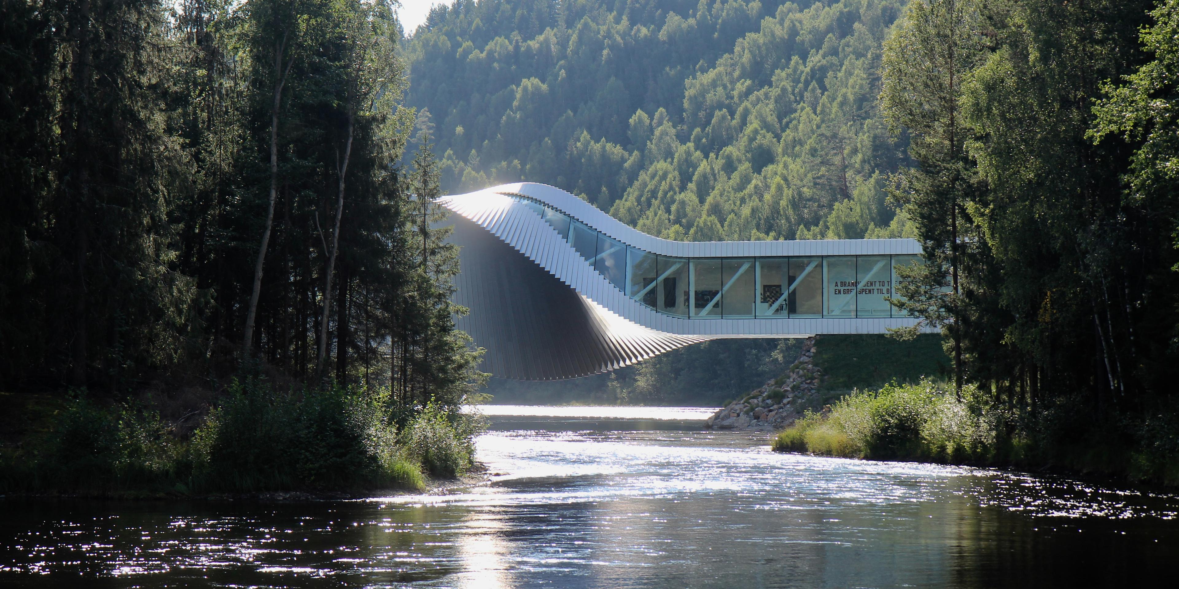 10 Days ・ April - OctoberBook now
New views of the old country
Oslo, Finse, Balestrand, Halvåg, BergenWho are you and where do you come from? The answer lies in the past. We invite you to embark on a journey of discovery where we will curate connections which may bring you much closer to your own ancestry. / Up NorwayPreis Von 49 600 NOK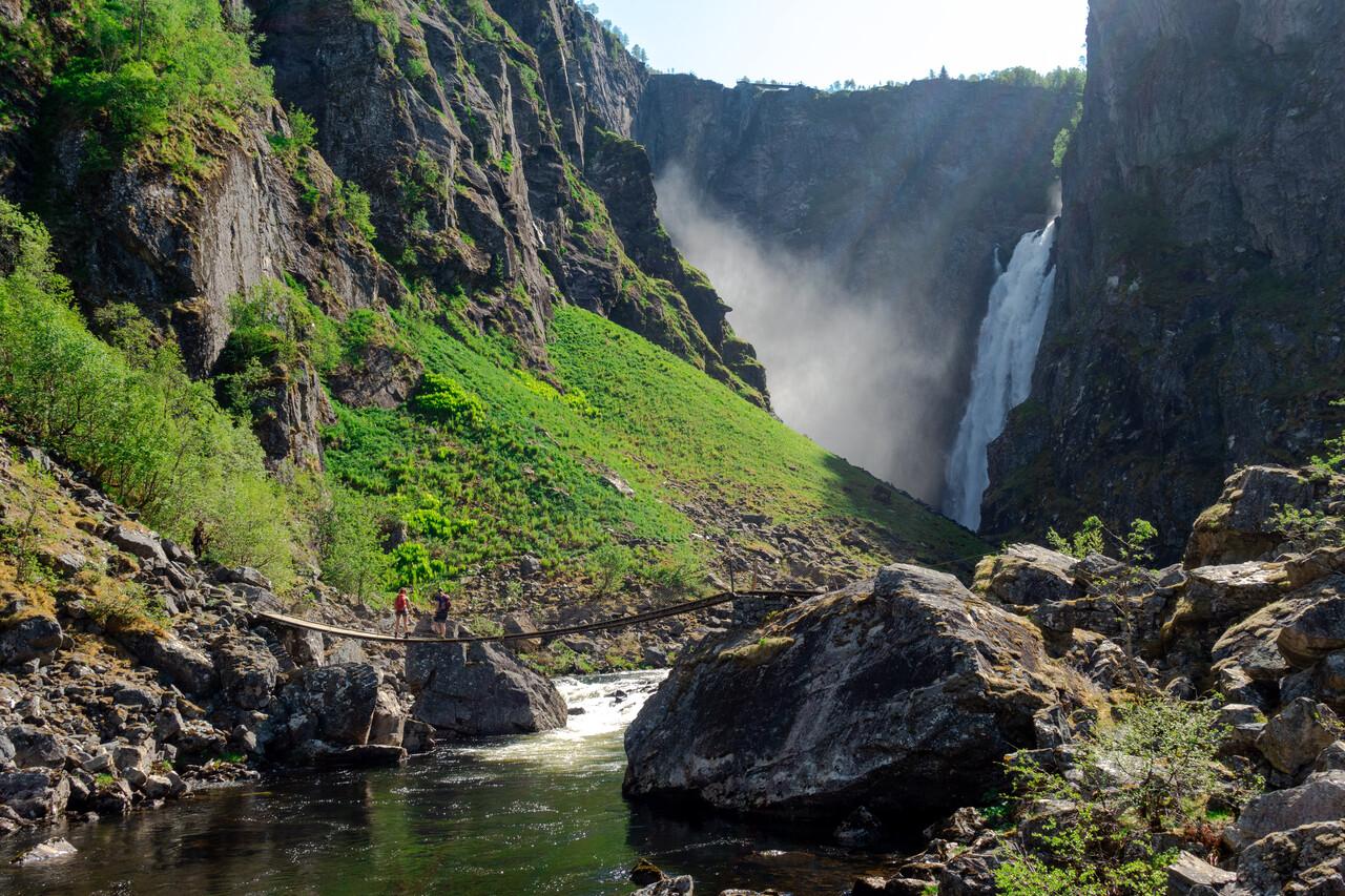 5 Days ・ Juni - SeptemberBook now
Aurland, Flåm and Hardanger
Fjord cruise, farm visits and Flåm railwayFjord cruise from Bergen through Sognefjord, farm visits with tastings, hike to get views of the Aurlandsfjord, enjoy a fjord sauna in Flåm, ride the famous Flåm Railway. Experience cider tasting in Hardanger, visit Rosendal Barony, and stay at quality hotels with 3-course dinners included. / Norrøna AdventurePreis Von 28 500 NOK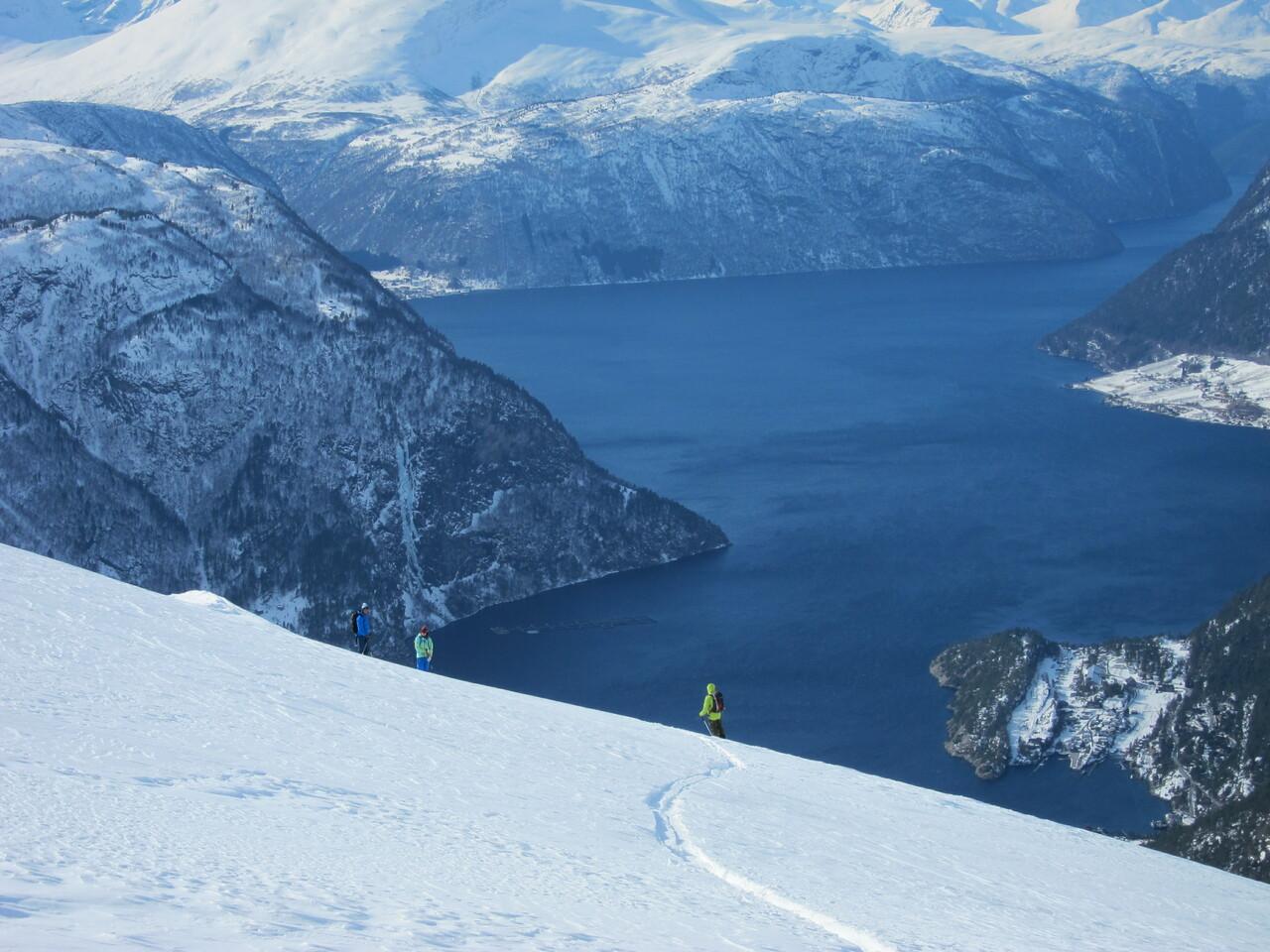 4 Days ・ MayBook now
Juvet and Sunnmøre
World-class skiing and architectureEnd the ski season with a few wonderful spring days at the Juvet Landscape Hotel and summit tours in Valldalen valley! One of Norway´s most spectacular and beautiful spots. / Norrøna AdventurePreis Von 16 500 NOK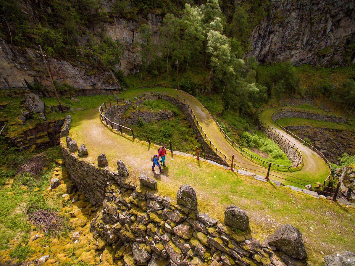 8 Days ・ June - AugustBook now
From mountains to fjords
Jotunheimen and AurlandOn this adventure, you can hike the historical route through mountainous Jotunheimen National Park towards the beautiful fjords in the west. / Norrøna AdventurePreis Von 26 000 NOK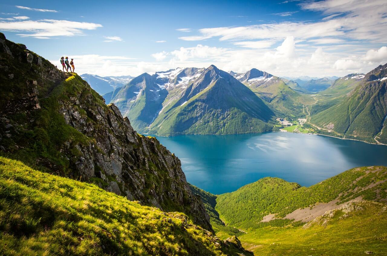 7 Days ・ July - AugustBook now
Sunnmøre and Romsdalen
Activity-filled roundtrip from ÅlesundE-bike narrow valleys, relax in a fjord sauna, cruise Geirangerfjord, hike to Skageflå farm, drive Trollstigen, enjoy a 5-hour guided kayak tour and wine tasting at Tuen. Accommodation and 3-course dinners at Hotel Union and Hotel Aak included. / Norrøna AdventurePreis Von 35 500 NOK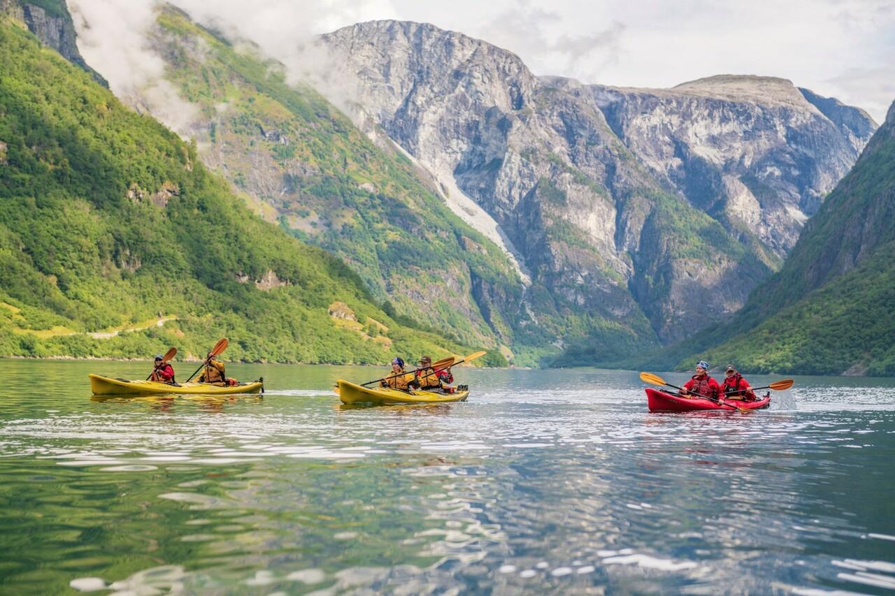 6 Days ・ July - AugustBook now
Aurlandsfjord and Nærøyfjord
Hiking, biking and kayakingVisit the Hardangerjøkulen glacier. Cycle the historic Rallarvegen trail all the way down to Flåm. Kayak on the Aurlandsfjorden and the Nærøyfjorden and hike up Prest mountain. There are many beautiful sights on this fantastic trip. / Norrøna AdventurePreis Von 30 900 NOK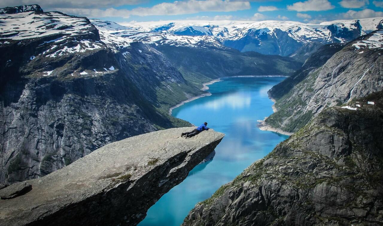 6 Days ・ June - SeptemberBook now
Trolltunga, Preikestolen and Folgefonna glacier
Iconic hikes and Lysefjord cruiseOslo roundtrip: Hike Trolltunga and Preikestolen, explore Hardangervidda, walk on Folgefonna glacier (equipment provided). Cruise Lysefjorden and stay at Canvas Hotel with saunas and outdoor tubs. / Norrøna AdventurePreis Von 29 000 NOK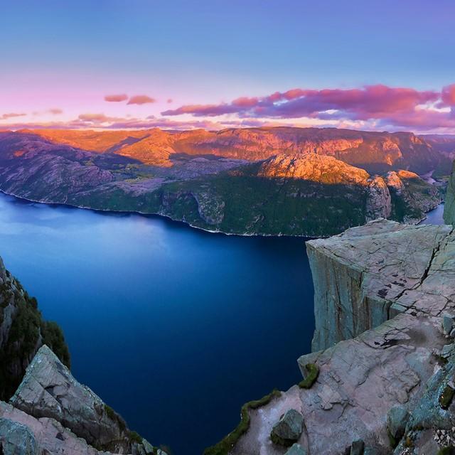 1+ Days ・ May - SeptemberBook now
Lysefjord in a Nutshell™
Preikestolen, Lysefjord and StavangerExperience one of Norway’s most dramatic fjord regions on a flexible self-guided journey. Cruise the Lysefjord beneath towering cliffs, reach the iconic Preikestolen viewpoint and explore colorful Stavanger at your own pace. / Fjord ToursPreis Von 3 660 NOK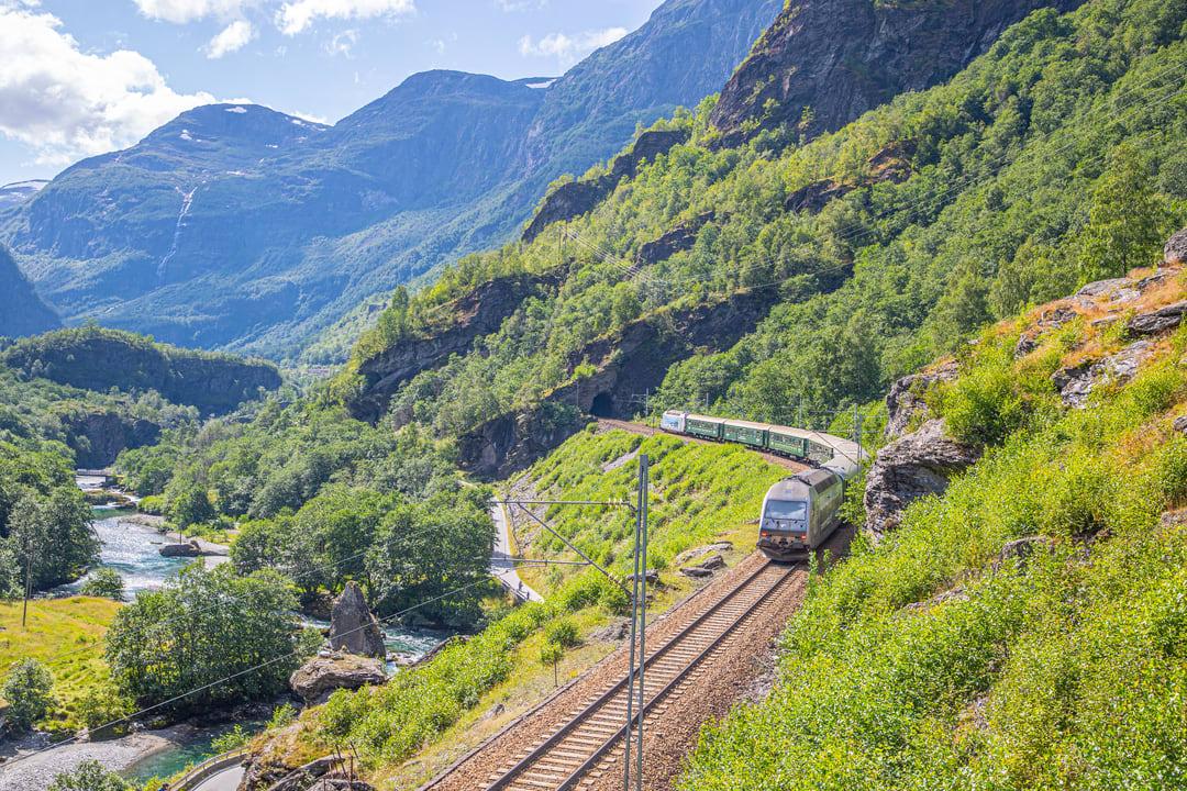 3+ Days ・ May - SeptemberBook now
Preikestolen & Norway in a Nutshell®
Scenic railways, UNESCO fjords and iconic viewpointsGo on a flexible roundtrip from Oslo or Bergen. Ride the famous Bergen Railway and Flåm Railway, cruise UNESCO-listed fjords and stand at the iconic Preikestolen high above the Lysefjord. Includes time in Bergen, Oslo, Flåm and Stavanger. / Fjord ToursPreis Von 7 100 NOK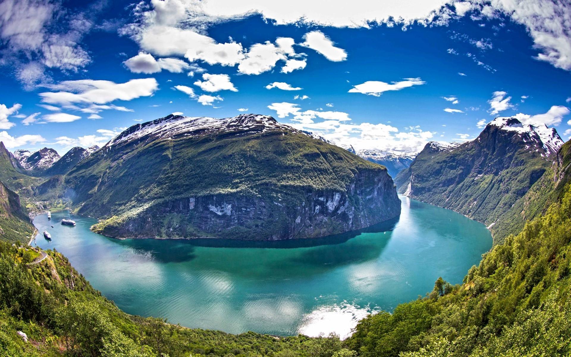 3+ Days ・ June - SeptemberBook now
Norway in a Nutshell® & Geirangerfjord
Discover Norway's famous UNESCO-listed fjordsExperience the incredible Nærøyfjord and the Geirangerfjord up close on this lovely roundtrip tour from Bergen. Your tour includes scenic fjords and rail journeys, the beautiful Art Nouveau city of Ålesund, and even Trollstigen, Norway's most iconic mountain road. / Fjord ToursPreis Von 8 459 NOK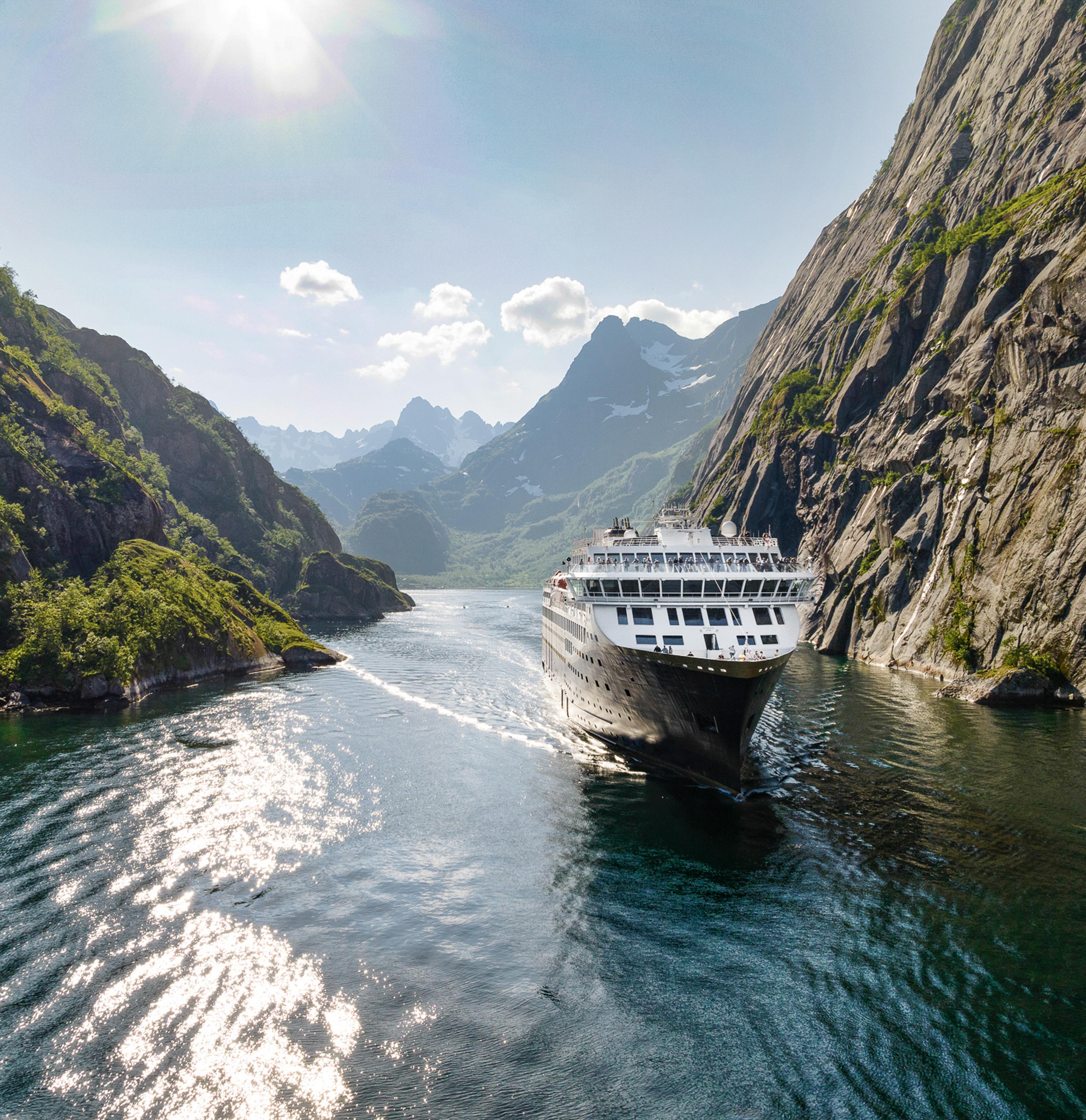 14 Days ・ May - SeptemberBook now
Norway with Havila voyage
Fjords and Havila Voyage along the coastVisit Oslo and the Norwegian Fjord region including a ride on the historic Flåm Railway. Set sail on a Havila North voyage to the very north of Norway. 12 departures per summer. / 50 Degrees North NordicPreis Von 63 870 NOK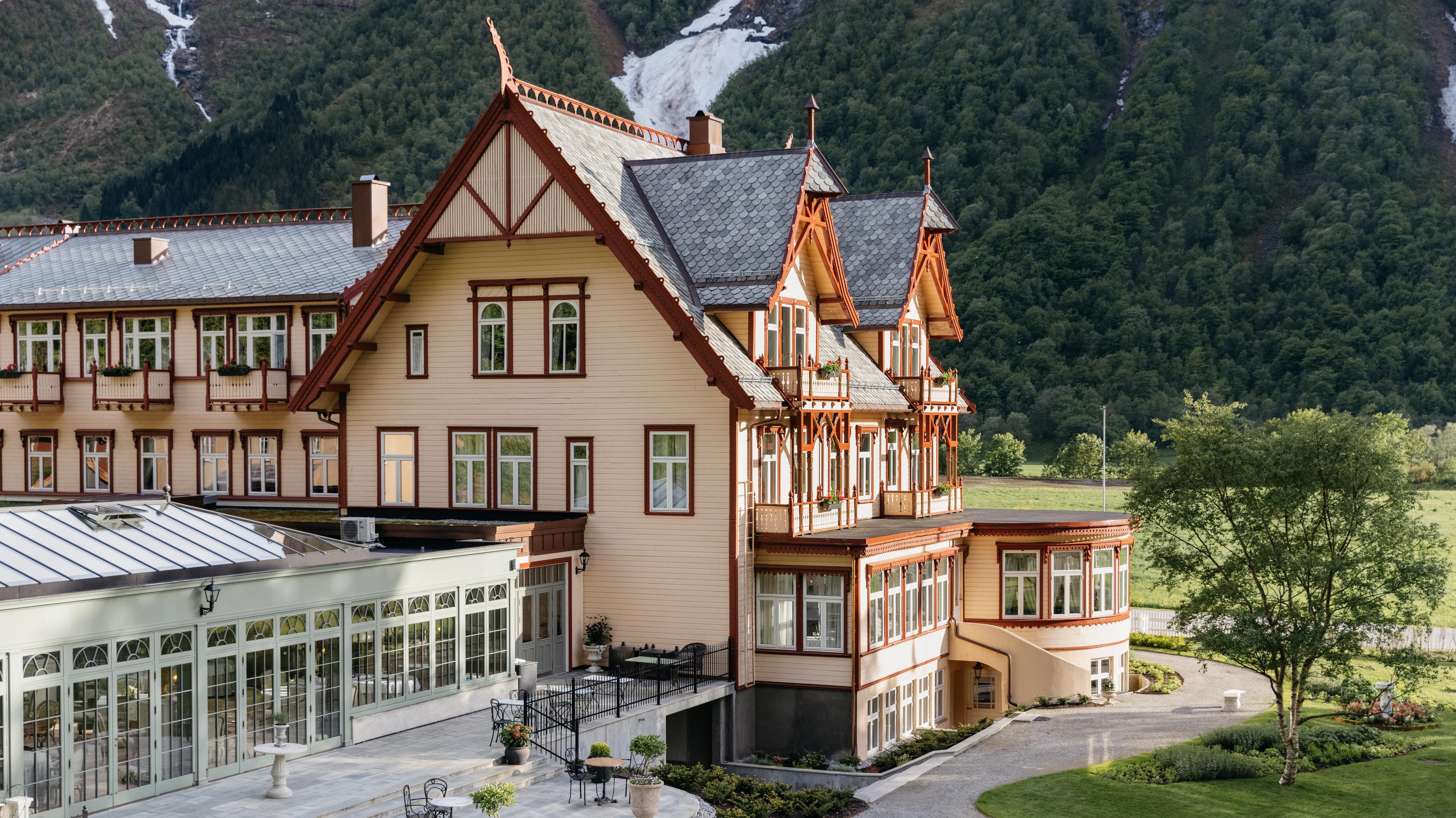 3 Days ・ All yearBook now
Fjord escape in style
The best hotels of SunnmøreStay at the small luxury hotels of Brosundet in Ålesund and Storfjord or Union Øye by the Hjørundfjord. Enjoy a historic 4-course dinner at Apotekergata No.5. / De HistoriskePreis Von 6 200 NOK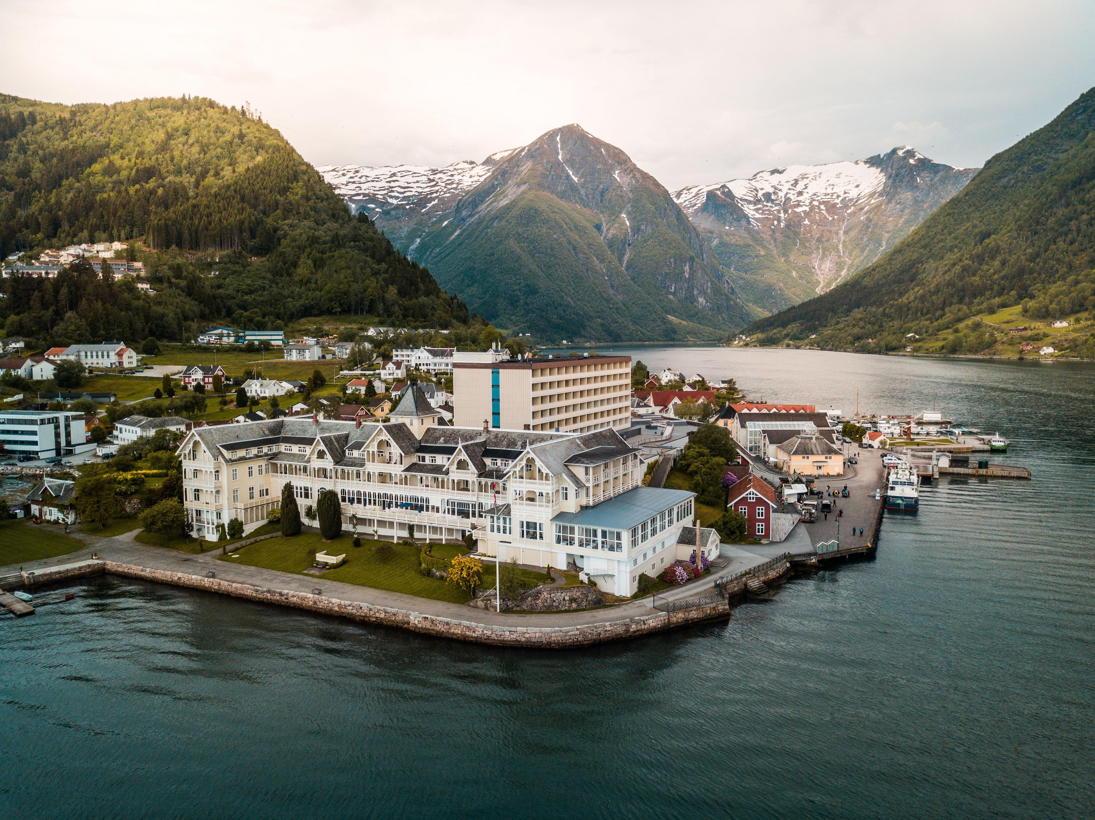 2 Days ・ April - OctoberBook now
Hotel bliss by the Sognefjord
Bergen/Flåm to BalestrandExperience historical Kviknes Hotel with breakfast, aperitif and dinner. Express boat roundtrip to Balestrand from either Bergen or Flåm included. / De HistoriskePreis Von 6 500 NOK 3 Days ・ All yearBook now
City break in style – Bergen
World Heritage and fjordcruiseIncludes a 2-night stay at stylish Charmante Skostredet Hôtel in Bergen, fjord cruise and historic dinner at Bryggen Tracteursted. / De HistoriskePreis Von 4 500 NOK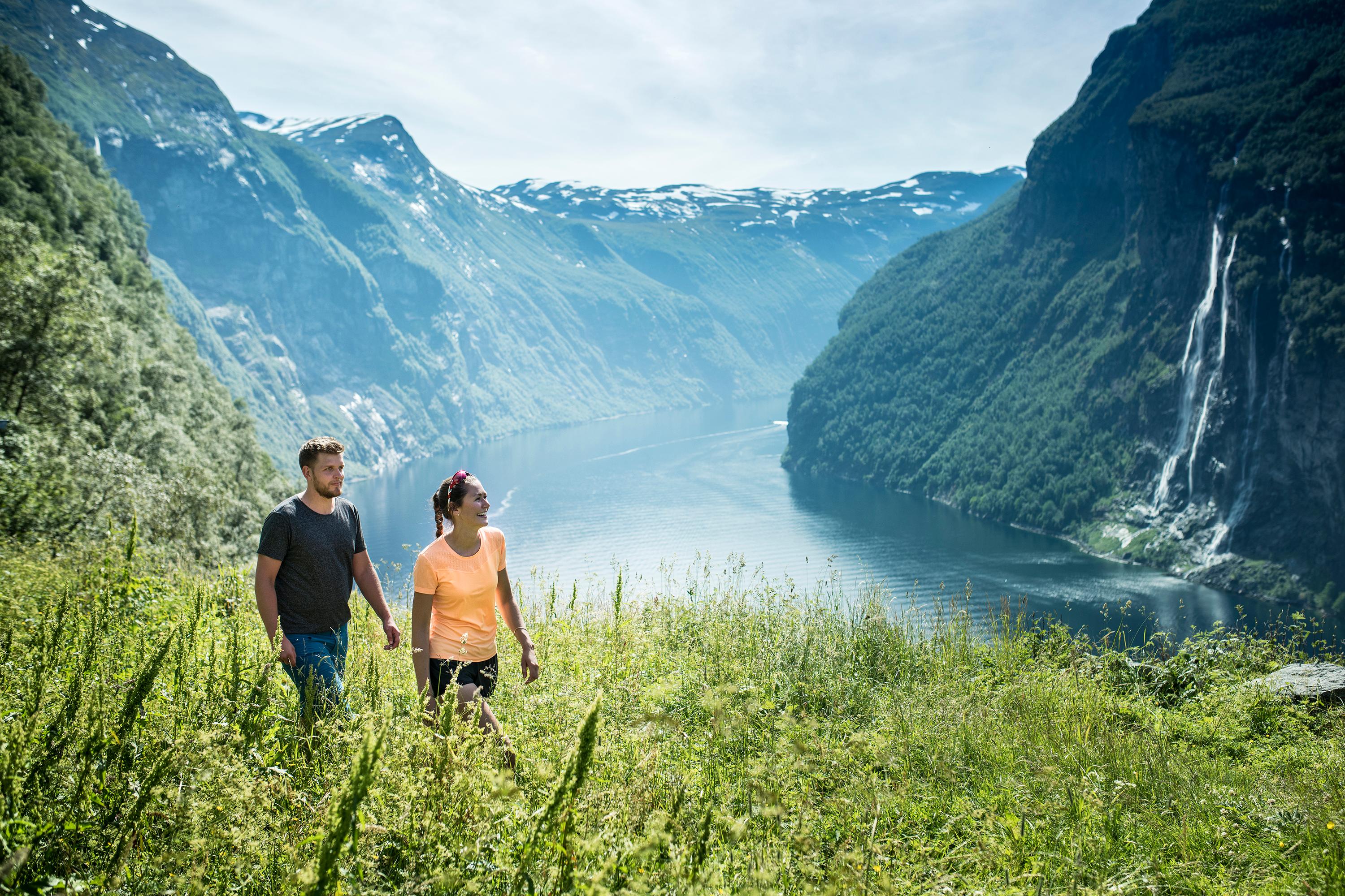 3 Days ・ All yearBook now
Iconic fjords in style
Journey through majestetic fjordsStay at the historical Kviknes Hotel and Hotel Union in UNESCO-listed Geiranger while you explore two iconic Norwegian fjords. Includes dinner, breakfast, and a one-way fjord cruise in Geirangerfjorden. / De HistoriskePreis Von 5 960 NOK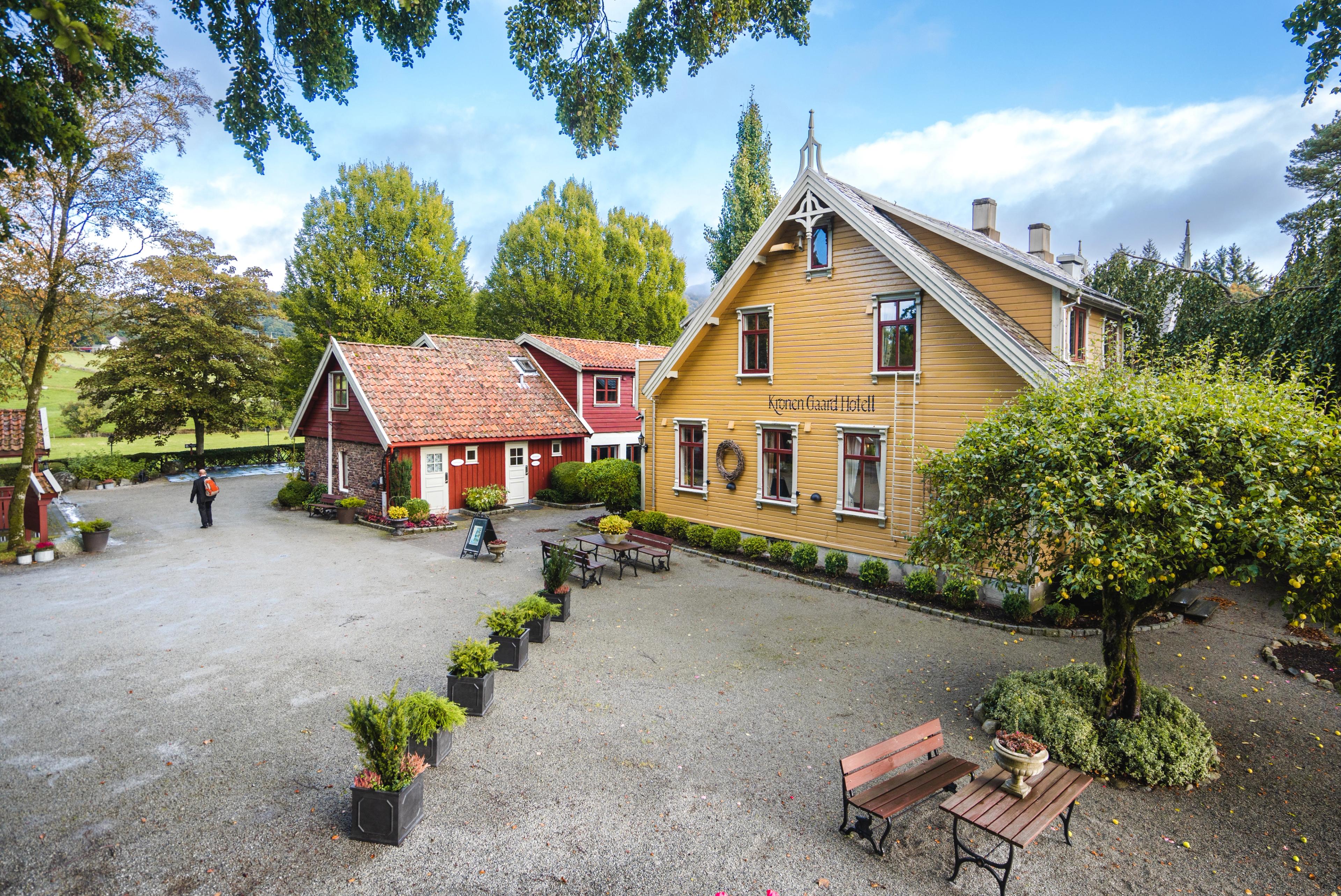 3 Days ・ March - DecemberBook now
Discover Lysefjorden
Lysefjorden cruise and historical hotelJoin a fjord cruise in Lysefjorden with a majestic view of the Pulpit Rock. Stay at one of our historic hotels in Stavanger with breakfast and dinner included. / De HistoriskePreis Von 3 079 NOK 24 Hours ・ All yearBook now
Flåm railway and cruise
A round trip to the fjordsExperience UNESCO-protected fjords with a self-guided round tour from Oslo. This trip includes the tickets Oslo-Myrdal-Flåm (train), Flåm-Bergen (boat, bus, train) and Bergen-Oslo (train) with sleeping compartment. / Booknordics.comPreis Von 5 190 NOK 5 Days ・ All yearBook now
Norway Cities, Trains & Fjords
Including Norway in a Nutshell®A 5-day self-guided tour, that includes travel to Oslo, Bergen and Trondheim, some of the world’s most scenic railways, cruises on UNESCO fjords, and breathtaking coastal landscapes. / Fjord ToursPreis Von 11 803 NOK