Ål
Kulufossen
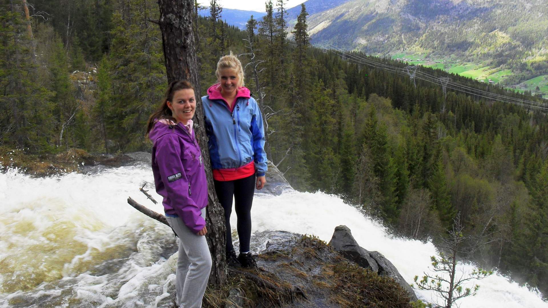
Nice hike in forest terrain with view over Ål centrum.
The path goes partially on an old road. Go towards Haugen and follow the walkway under the railway. Follow the marked trail to Hallingspretten up to Hefte. Marked path from there to Kulufossen.
For a roundtrip, you can follow the path down on the west side of Kulufossen, marked with Skjølet. There is no security around the waterfall.
Press the link for detailed map and height profile for this hike.
A more detailed map: Veståsen 1:50 000
Karte von Kulufossen - pdf
Höhenprofil Kulufossen - pdf
Last updated: 01/02/2024
Source: Hallingdal Reiseliv
Kulufossen