Stadlandet
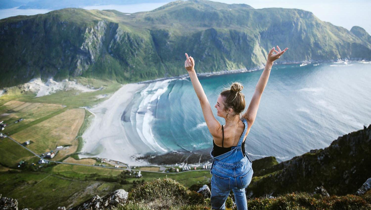
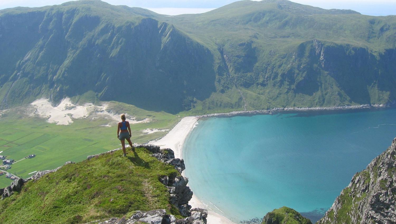

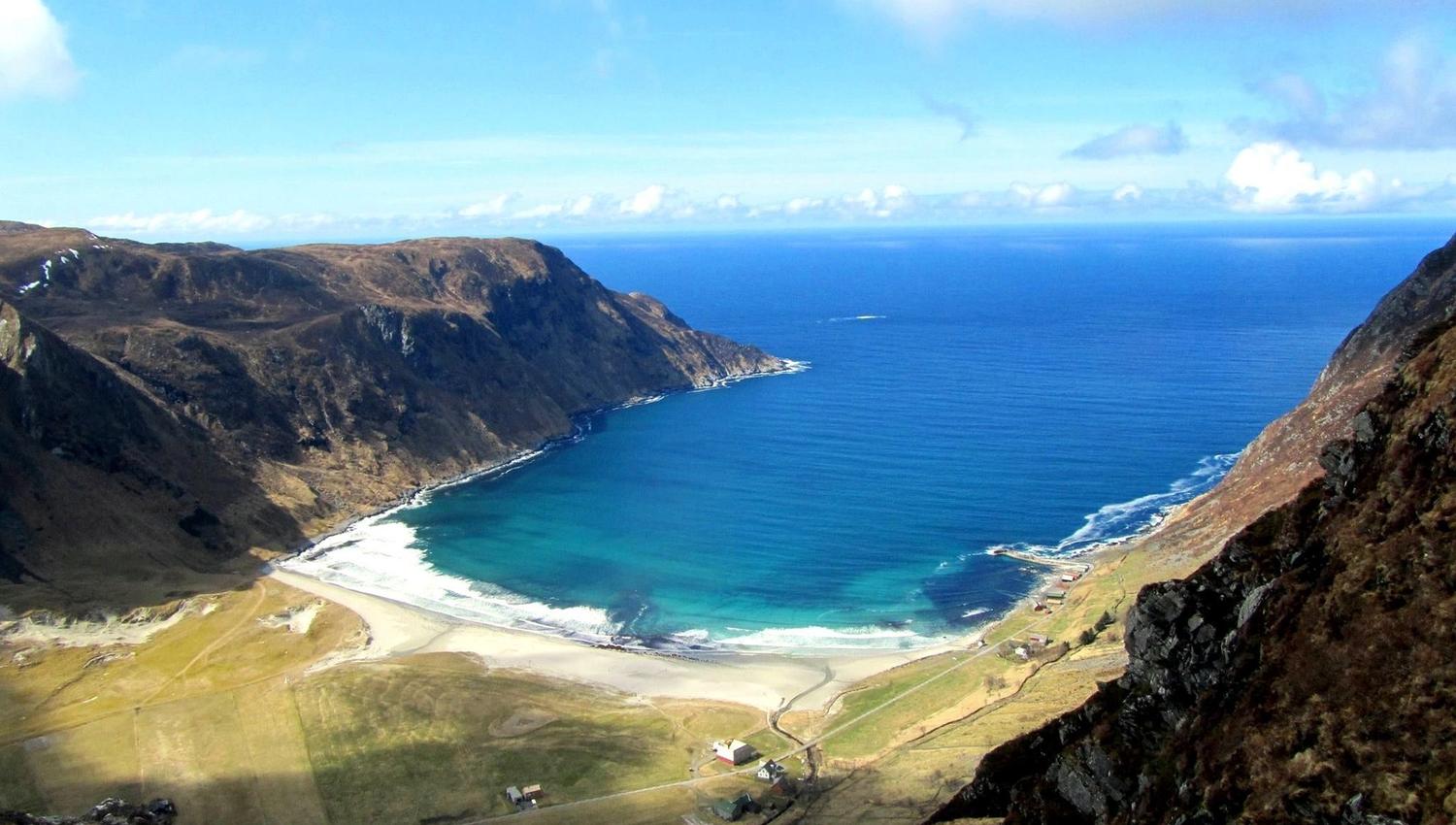

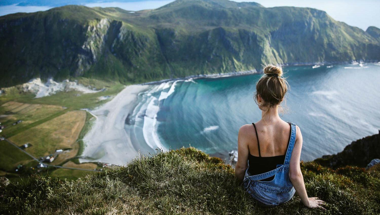


There’s an incredible view of Hoddevik bay from the top of Mosekleivhornet! Area: Stadlandet Type: Hike/walk Classification: Demanding Length and duration: 8.4 km, 4 hours Season: All year round
You can start a hike to Mosekleivhornet from three different places and all the routes are marked and signposted:
1. Hoddevikfjellet mountain, at the highest point. Parking about 100 metres from the start point. 8.8 km and 299 altitude meters, roundtrip.
2. Dragseidet pass, by the car park, 16.5 km and 996 altitude meters, roundtrip.
3. Ervik, by the community centre (Grendahuset) (school). 9.2 km and 570 altitude meters, roundtrip
Below is the trip from Ervik to Mosekleivhornet.
It’s an 8.4 km roundtrip and 488 altitude meters.
The trail starts at the community centre (Grendahuset). Leave via the back gate and turn left. Follow the trail all the way to Mosekleivhornet mountain. It may be a bit steep over the rocks and the terrain may be wet, before there’s a nice and dry ascent all the way to the top!
Quelle: Nordfjord