Beitostølen
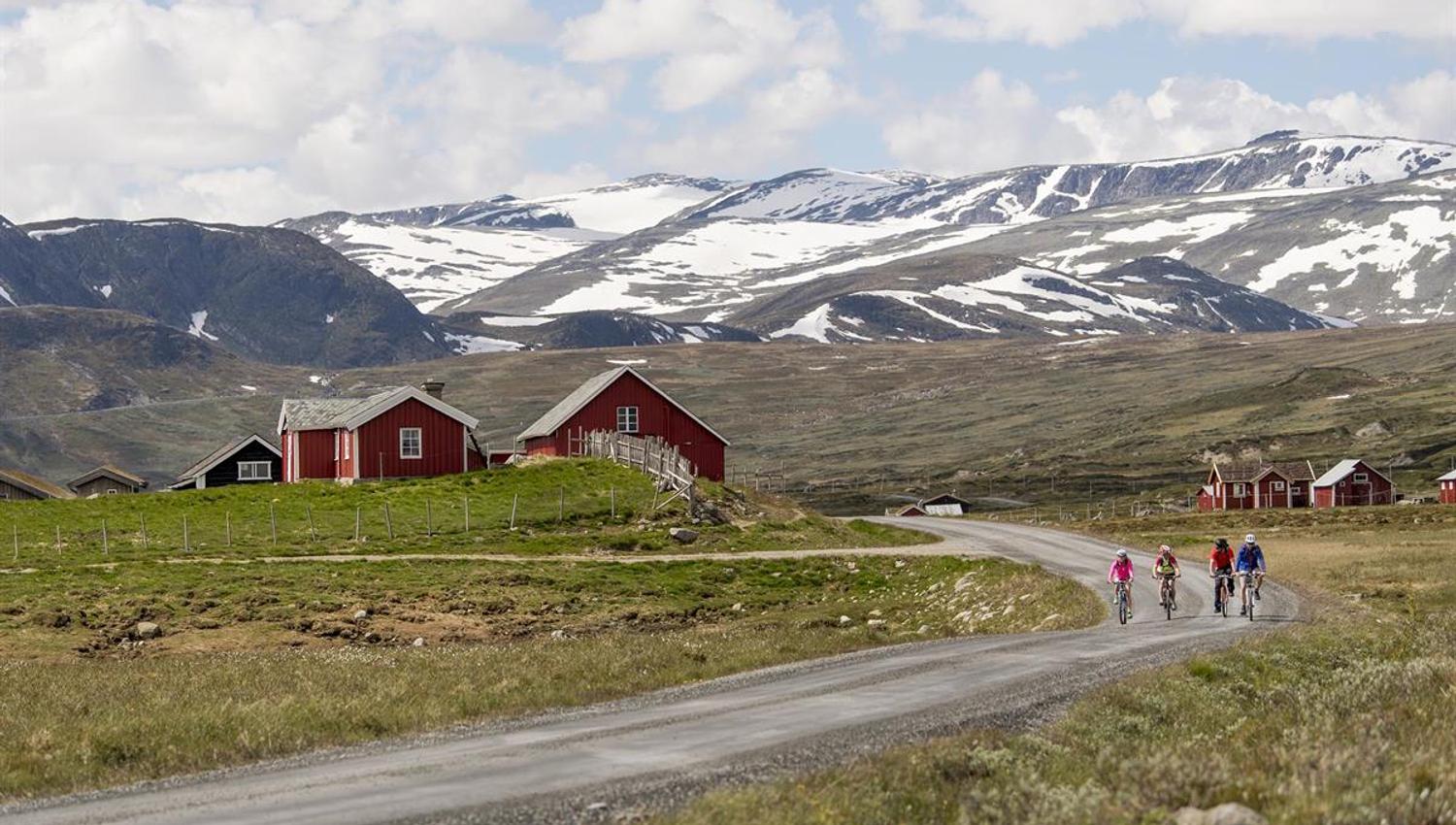
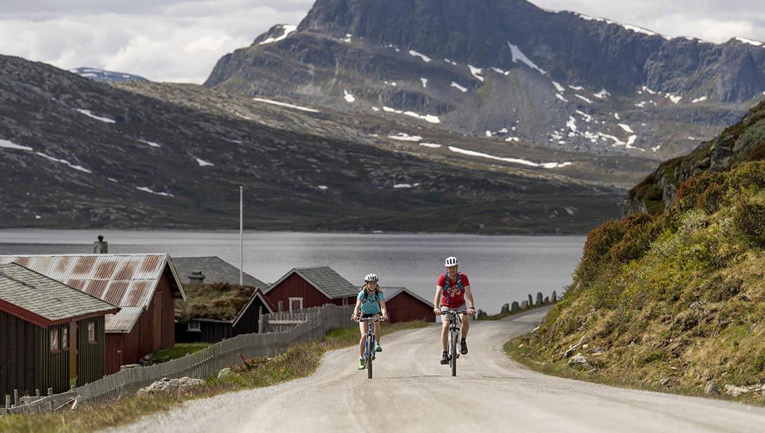
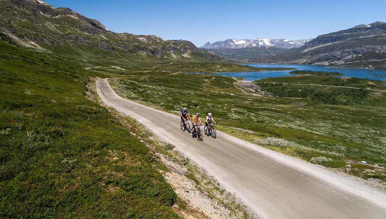
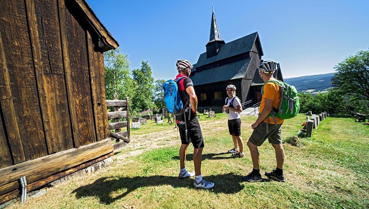
Diese nördliche Variante entlang des Mjølkevegen hat an beiden Enden Anschluss an die Expressbuslinie NW161 Valdresekspressen ab/bis Oslo. Den Fahrplan der Busrouten finden sie hier: www.entur.no
Für Fahrradmiete (E oder Hybrid) empfehlen wir Fjellkjeden Rental in Beitostølen. Sie können den Vermieten bitten, den Transport der Räder nach Lemonsjø zu arrangieren. Optimal werden Sie dann in dem Bus, in dem sie selber fahren, in Beitostølen zugeladen. Alternativ können sie E-Fahrräder von Hike & Bike in Lemonsjøen Fjellstue mieten.
Lemonsjø - Ruten (59 km; 970 Höhenmeter Steigung)
Nach einem gemütlichen Aufenthalt in der Lemonsjø Fjellstue sind sie bereit zum Aufbruch! Starten sie hinter der Fjellstue auf dem Fahrweg durch das Hüttengebiet (links am Containerplatz!) und auf der alten Straße durch den Wald in Richtung Randsverk. Vor dem Campingplatz geht es links (Fahrradschilder) und weiter durch den Wald, bis sie zur Hauptstraße gelangen, auf die sie links abbiegen. Nach 2 km biegen sie rechts in Richtung Murudalen. Achtung! Nach weiteren 5 km, direkt hinter der Brücke über den Fluss, verpassen Sie die Abfahrt ins Murudalen (Nysetervegen) nicht! Sie durchfahren nun das gesamte Murudalen bis zur Kreuzung mit dem Jotunheimvegen. Hier biegen sie links und folgen nun der Ausschilderung am See Olstappen entlang zur Ruten Fjellstue im Espedalen.
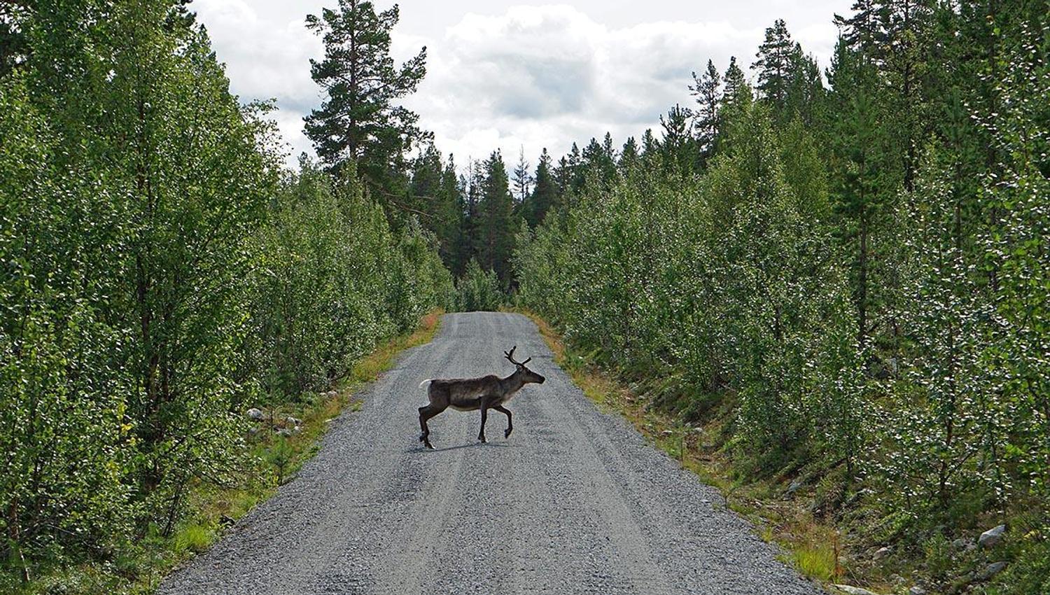
Genießen sie die Gastfreundschaft in Ruten, das Aktivitätsangebot und besuchen Sie den Elchbeobachtungsturm. Ruten betreibt seine eigene Mikrobrauerei und kann seinen Gästen mehrere Sorten selbstgebrautes Bier anbieten.
Ruten - Haugseter - Bygdin (61 km; 1155 Höhenmeter Steigung)
Von der Ruten Fjellstue geht die nächste Etappe entlang des idyllischen Jotunheimvegen nach Bygdin. Wir empfehlen einen Stop zum Mittagessen oder einer Tasse Kaffee in der Haugseter Fjellstue. Hier können sie auch übernachten. Haugseter ist bekannt für die guten Fjellforellen im Vinstersee. In Bygdin wartet das Bygdin Høifjeldshotel auf sie, mit schönen Wandermöglichkeiten vor der Haustür und der beliebten Synshorn Via Ferrata. Hier wohnen sie in gemütlichen Zimmern mit historischem Flair und gutem Essen in einer netten, traditionellen Atmosphäre.
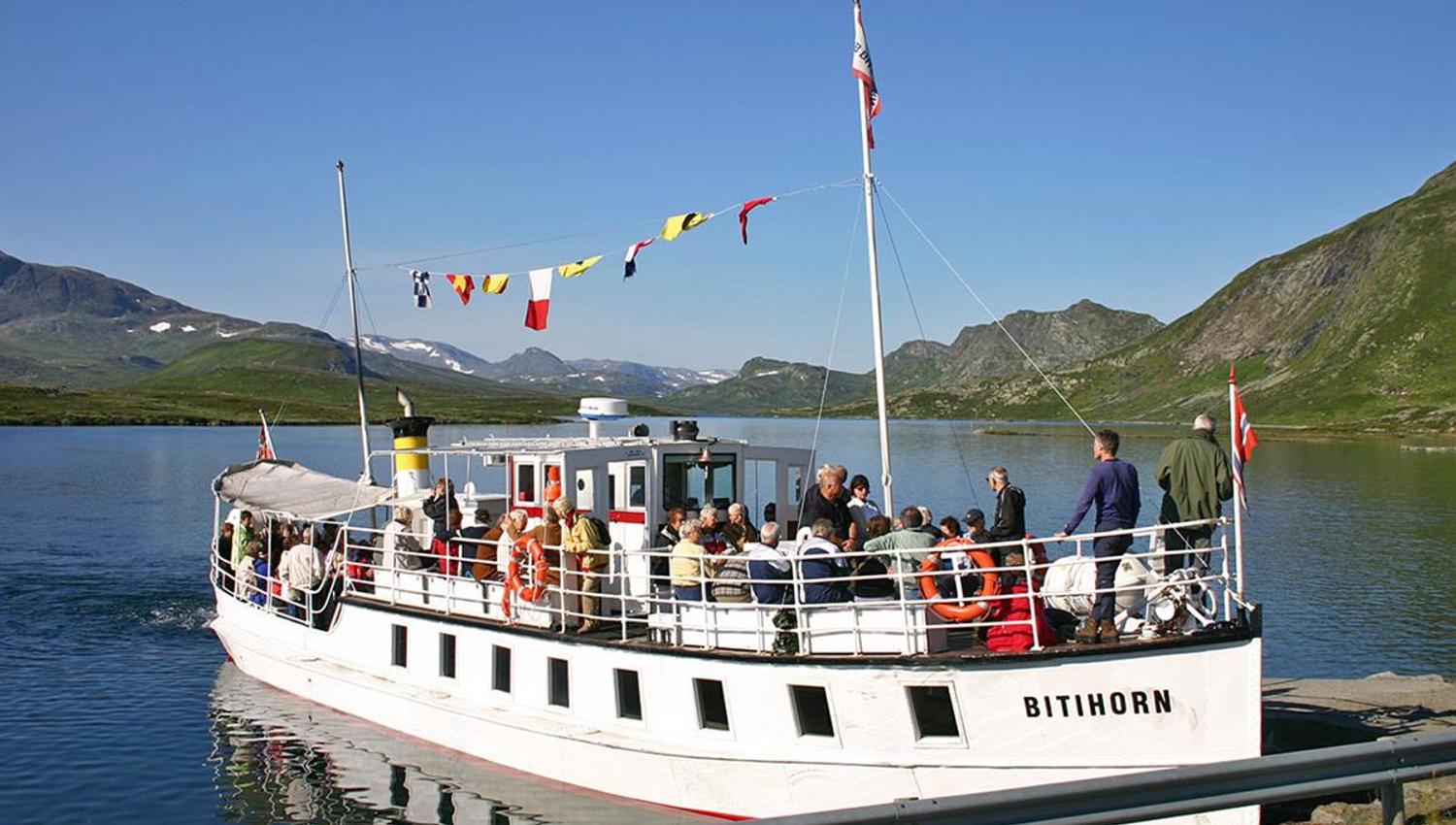
Bygdin - M/B Bitihorn - Tyinholmen (båtstur + 3,5 km; 75 Höhenmeter Steigung)
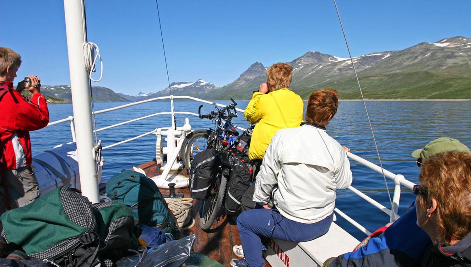
Von Bygdin benutzen sie die Bootsverbindung mit der über 100 Jahre alten M/B Bitihorn über den Bygdinsee nach Eidsbugarden. Fahrplan, Preise und Onlinebuchung finden Sie hier: https://jvb.no/en/bitihorn/ (denken sie daran, für sich und ihr Fahrrad zu reservieren!). Die Überfahrt dauert 1 Stunden und 45 Minuten.
Nach der Ankunft in Eidsbugarden sind es nur wenige Kilometer bis zur Tyinholmen Høyfjellstue, eine der geschichtsträchtigsten Unterkünfte in Jotunheimen, die breits seit 1892 ohne Unterbrechung Gäste beherbergt und bewirtet. Genießen sie die atemberaubende Aussicht zu den Bergen und über den See Tyin und unternehmen sie am Nachmittag/Abend einen kleinen Fahrradabstecher in das herrliche Koldedalen.
Tyinholmen - Tyinkrysset (20 km; 161 Höhenmeter Steigung) & Tyinkrysset - Slettefjellet - Beitostølen (54 km; 1500 Höhenmeter Steigung)
Von Tyinholmen geht es weiter am Seeufer entlang und dann auf der Straße 53 in Richtung Tyinkrysset. Folgen Sie auf dem letzten Stück der Ausschilderung über Updalsstølen nach Tyinkrysset.
Hier gibt es Unterkünfte (falls sie diese lange und anstrengende Etappe aufteilen möchten), ein gut sortiertes Sportgeschäft und einen Supermarkt. E-Biker können hier in der Touristinformation/Intersportgeschäft auch die Batterie aufladen; im Laden oder, falls geschlossen, an der Wand bei den Abfallbehältern. Ladegeräte für Shimano, Bosch und Yamaha können geliehen werden.
Von Tyinkrysset empfehlen wir, dem Kongevegen (Königsweg) zu folgen (einzelne Trailetappen, wo sie ggf. schieben müssen), bis sie kurz vor Øye auf die E16 treffen. Hier müssen Sie aufpassen, dass Sie auf dem Vennisvegen entlang des Nordufers des Sees Vangsmjøsa landen (und nicht auf der E16 weiterfahren). Folgen sie dem Vennisvegen und anschließend dem Liagardsvegen zur Abzweigung und dem Schlagbaum des Slettefjellvegen.
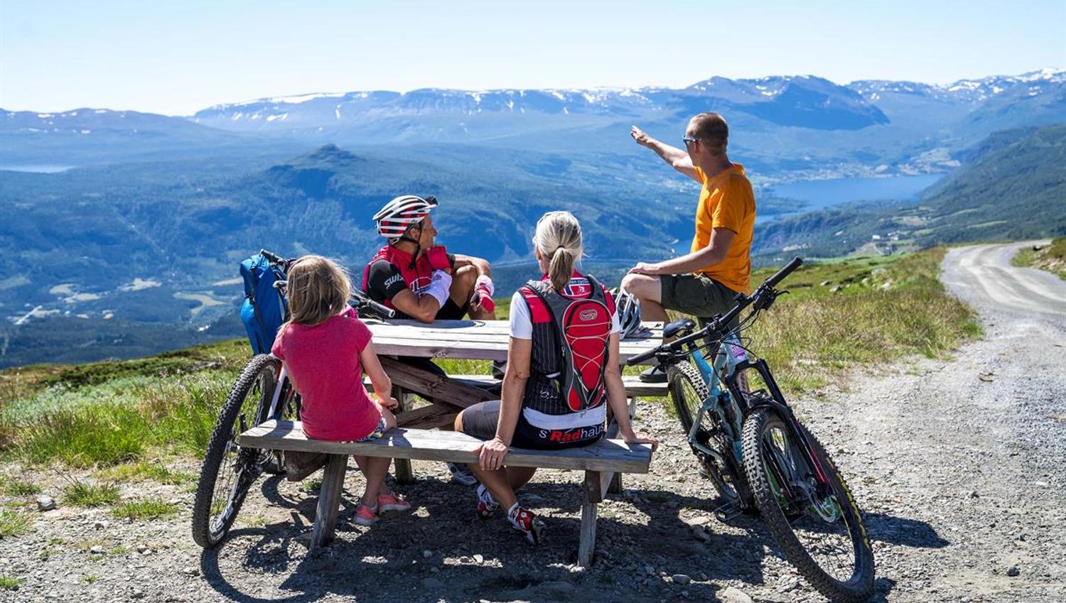
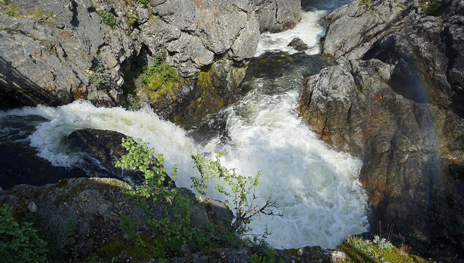
Die letzte Etappe über den Pass Slettefjell zurück nach Beitostølen ist "nur" 30 km lang, aber die bei Weitem anstrengendste. Sie klettern bis auf 1315 mü0. Unterwegs empfehlen wir, einen 15-minütigen Abstecher zu Fuß zum Wasserfall Sputrefossen einzulegen (nach links ausgeschildert in der zweiten Rechtskurve nach dem Schlagbaum). Oben auf der Passhöhe angekommen, sollten sie eine gute Rast einlegen und die Aussicht in alle Richtungen so richtig aufnehmen. Am spektakulärsten ist sie zurück in Richtung Vang. Nun geht es abwärts (am See Fleinsendin biegt der Slettefjellvegen rechts) bis Lykkja und recht leicht weiter bis Beito, bevor der letzte Anstieg von 3 km Länge nach Beitostølen, dem Ziel der Tour, ansteht.
Halten Sie sich in der Kreuzung in der Ortsmitte links, und Sie sehen schon die hier empfohlene Mjølkevegen-Unterkunft, das Beito Resort Hotel. Verwöhnen sie sich mit einem Saunagang oder im Whirlpool zur Belohnung und genießen Sse ein gutes Bett und gutes Essen. In Beitostølen gibt es verschiedene Geschäfte, Supermärkte, Restaurants und Cafés und ein breites Aktivitätsangebot. Vielleicht möchten sie noch eine Nacht länger bleiben.
Mietfahrräder können im Intersportladen abgegeben werden. Falls dieser bei ihrer Ankunft geschlossen sein sollte, wenden sie sich bitte an die Rezeption im Hotel.
Für weitere Informationen wenden sie sich bitte an die Valdres Touristinformation: +47 61 35 94 10 / E-Mail [email protected]
*Die gesamte Tour kann als fertiges Reisepaket (7 Tage) bei Jotunheimen Travel: https://jotunheimentravel.com/mjolkevegen/ gebucht werden. Enthalten sind Unterkünfte, Vollpension (mit Lunchpaket), die Bootsfahrt und Gepäcktransport.
FAQ
Häufig gestellte Fragen beantworten wir auf der FAQ-Seite für den Mjølkevegen. Hier finden sie auch nützliche Tipps und Infos wie eine Liste über E-Bike-Ladestationen, Packliste etc.
Aktuelle Routeninfos
Wichtige und aktuelle Infos bez. der Route finden Sie hier. Scahuen Sier hier vor Abfahrt und von unterwegs vorbei, um auf dem laufenden Stand zu sein und ungeplante Umwege zu vermeiden. Nicht immer erfahren wir von Bauarbeiten und anderen wichtigen Einschränkungen entalngd er Route und bitten Sie deshalb, uns unter so genauer Positionsangabe wie möglich Bescheid zu geben, falls Sie auf unerwartete Hindernisse oder beschädigte bzw. fehlende Schilder stoßen.
Gute Fahrt!
Quelle: Valdres Destinasjon