Vik I Sogn
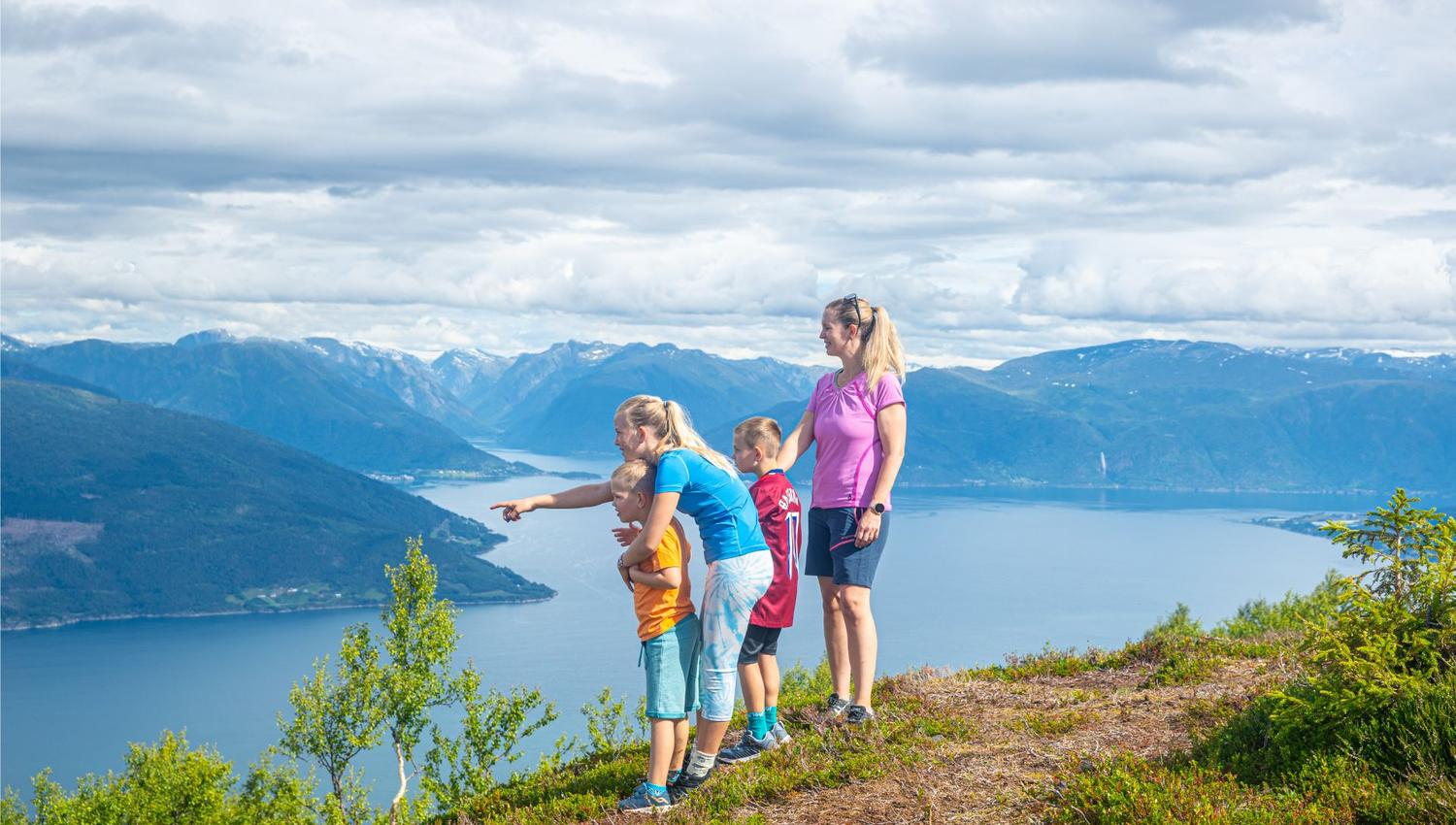
Hike to Synshovden in Vik - Panorama fjord view
The trip to Synshovden at 790 m.a.s.l. you can start directly from the center of Vik.
You can park at the Vik stadium and walk on the municipal road up to Øvste Hopperstadmarki, where you continue on the forest road. You can also drive up to Hopperstadmarki, park at the bend to the forest road and start the trip from there.
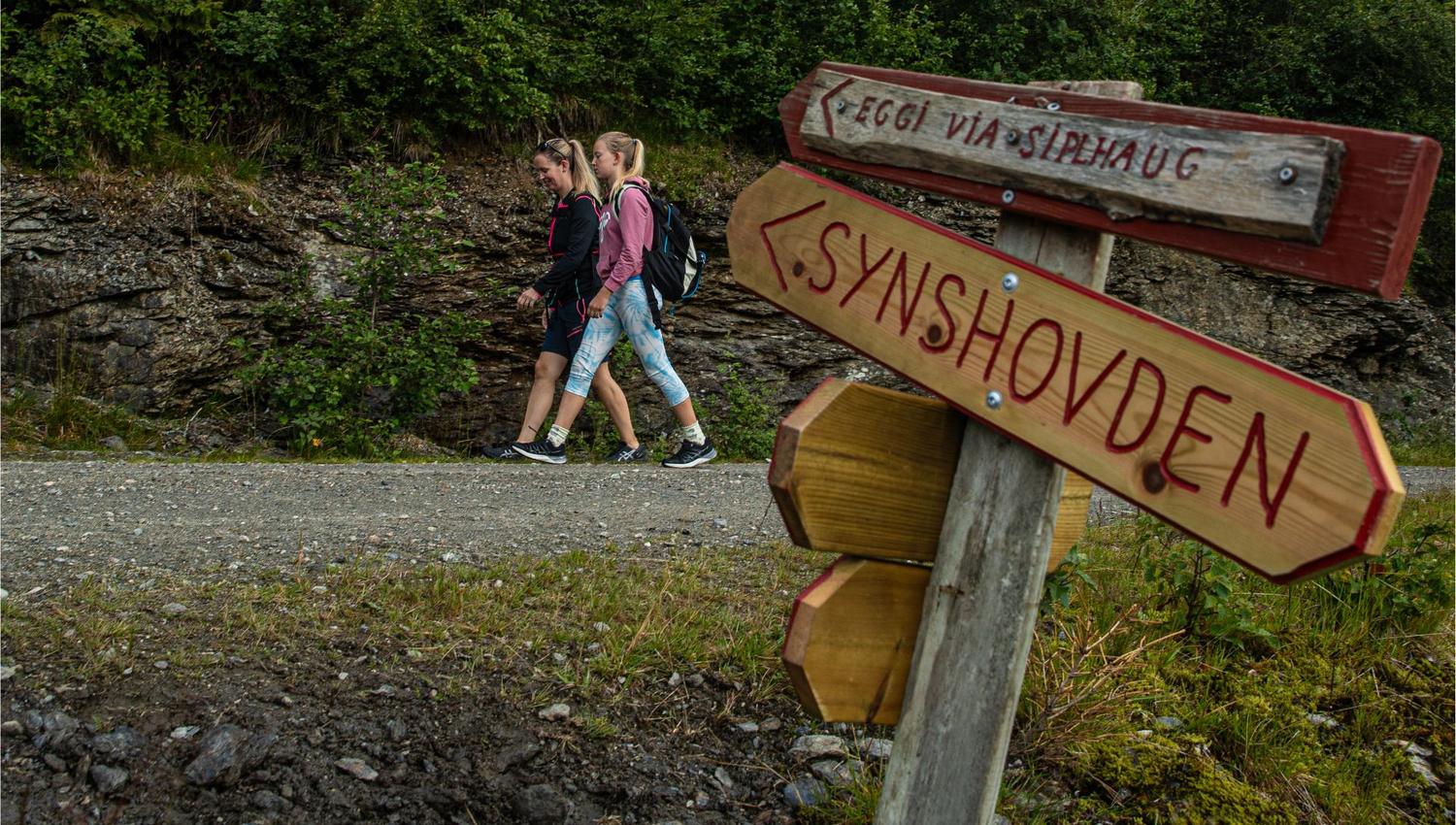
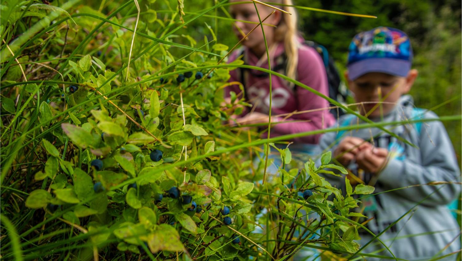
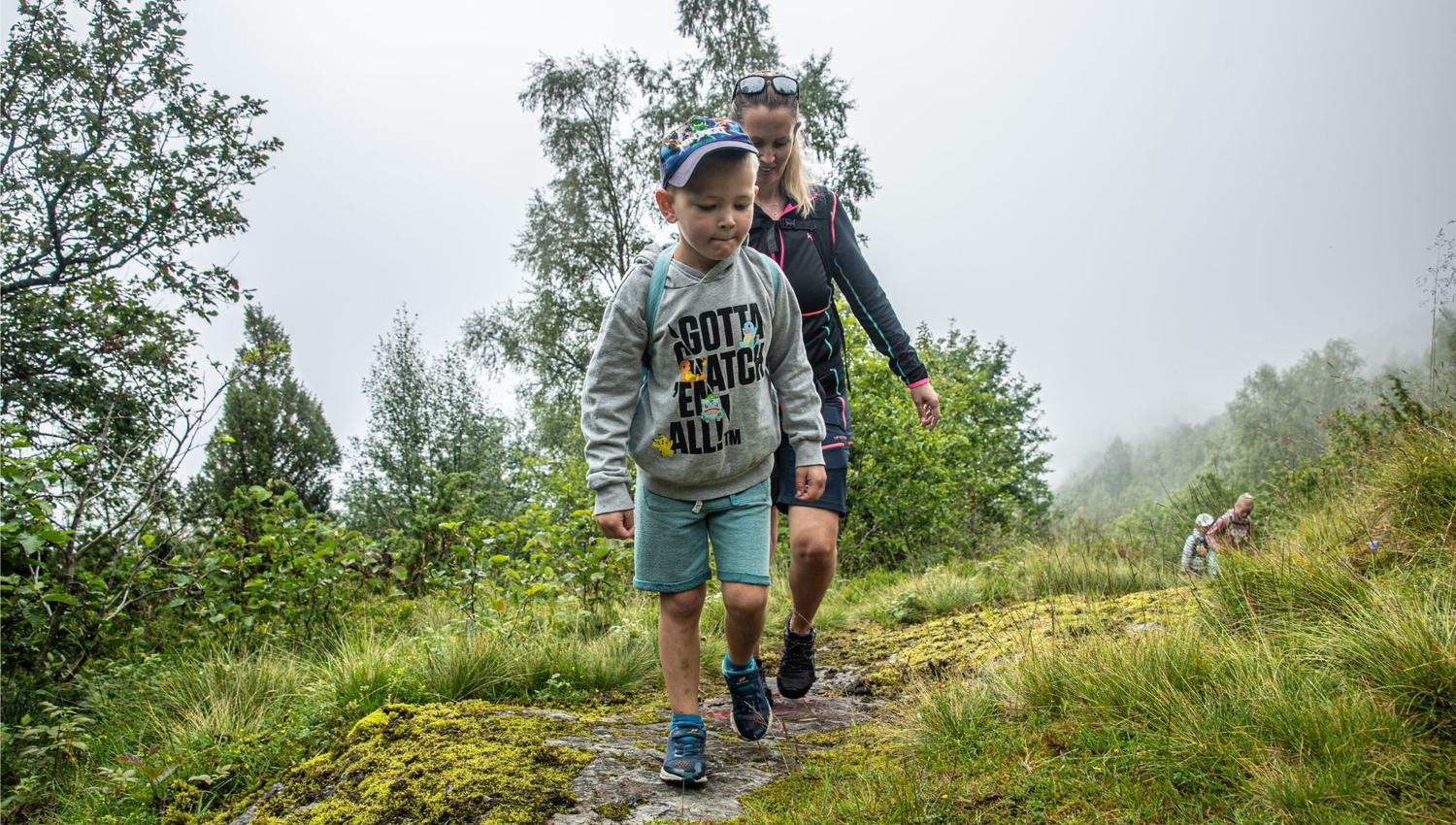
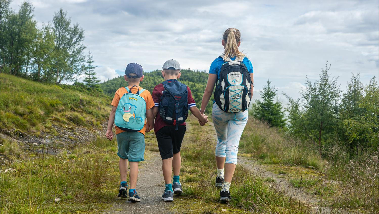
The first stage goes on a forest road and path to the stølen Gunnarsete (approx. 475 m above sea level). Along the path to Gunnarsete there is a nature trail with 10 information boards that tell about plants and animals along the path. One comes past two outcrops with rest areas. The path, which is also signposted, mostly goes through deciduous forest, and a bit in spruce forest. Nice viewpoint!
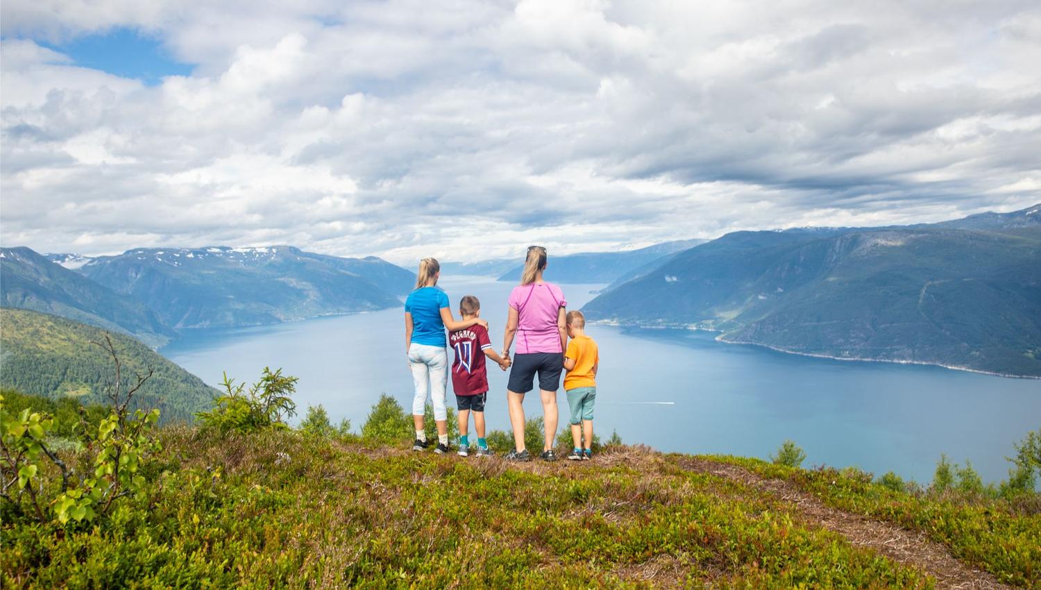
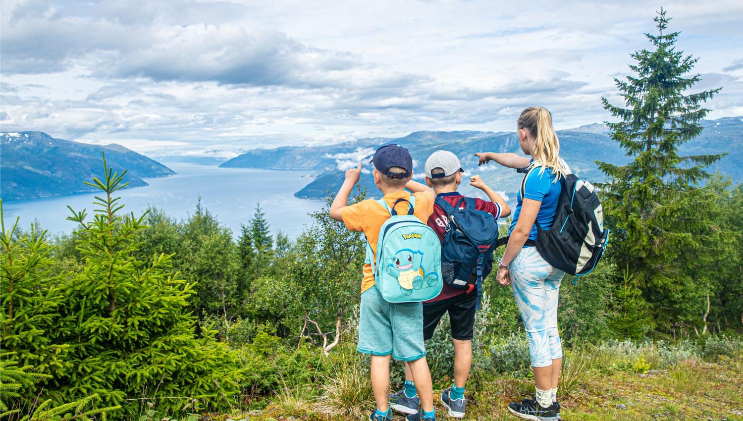
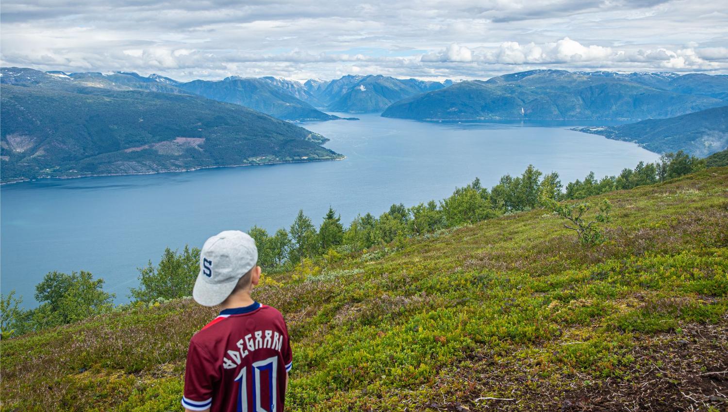
The last stage goes from Gunnarsete up to Bøeggi, and then up to Synshovden, where in good weather there is a great view of the Sognefjord!
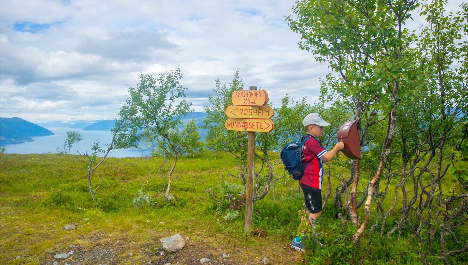
You can either go back the same way, or continue a short distance along Bøeggi and go down via the forest paths Eggjavegen and Bødalslivegen. If you follow Bødalslivegen in a northerly direction, you will come back to Gunnarsete. If you go south, you will come out at Rosheim, at Tistel Camping.
Facts about the trip
Moderately demanding trip
KM: 3.9 km
Time: About 3 hours
Altitude: 666 altitude meters in total
Season: March to November
Quelle: Visit Sognefjord AS