Jondal
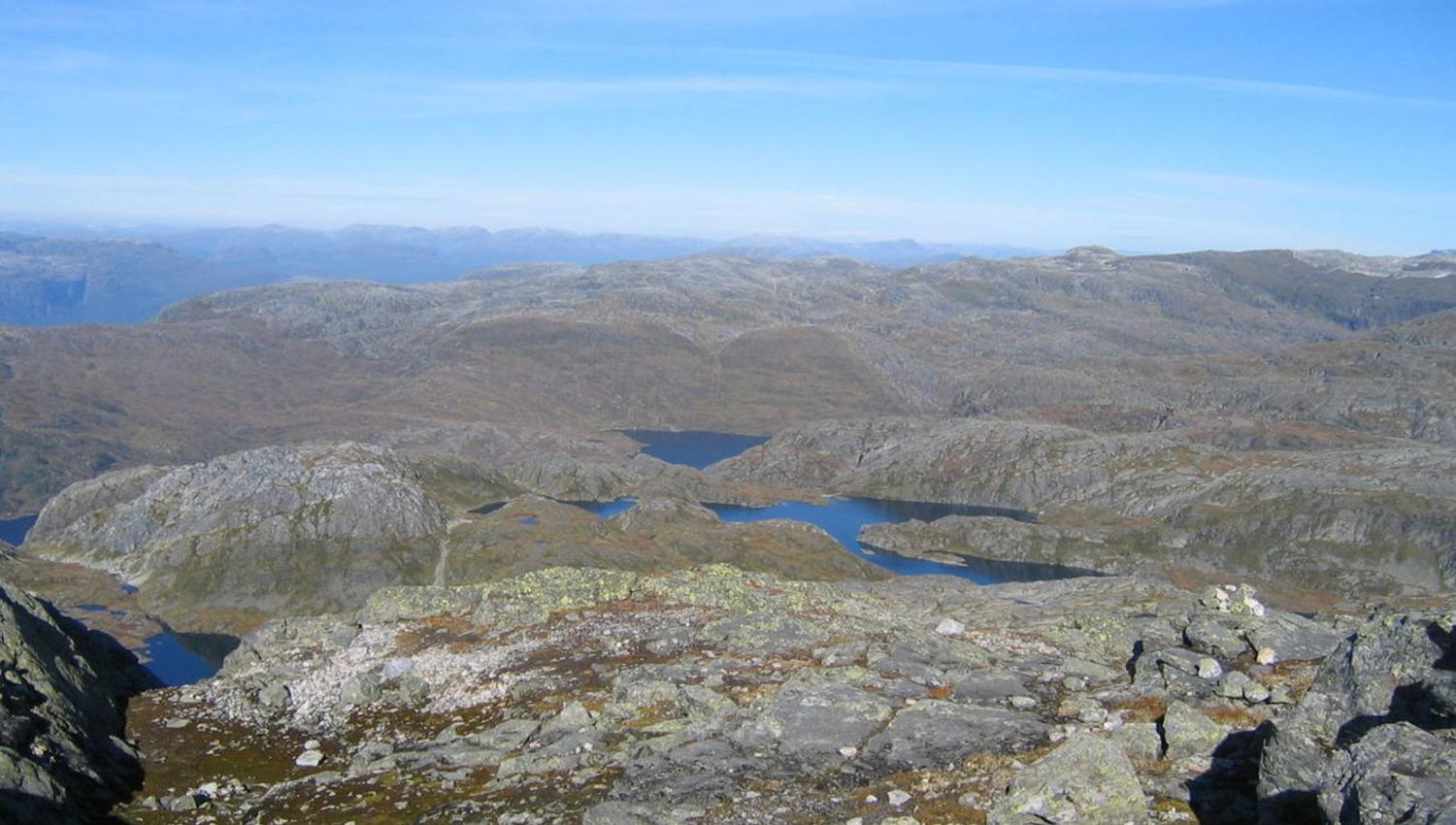
The hike to Botsvatnlia and Jonstein is a varied and challenging hike with great views at the top.
Botsvatnlia and Mt Jonstein - a varied and challenging hike
Starting point
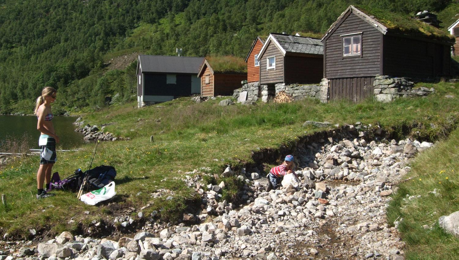
Drive from Jondal towards Krossdalen. Keep left after 10 km. Continue 4 km to the starting point at lake Botsvatnet.
About the trail
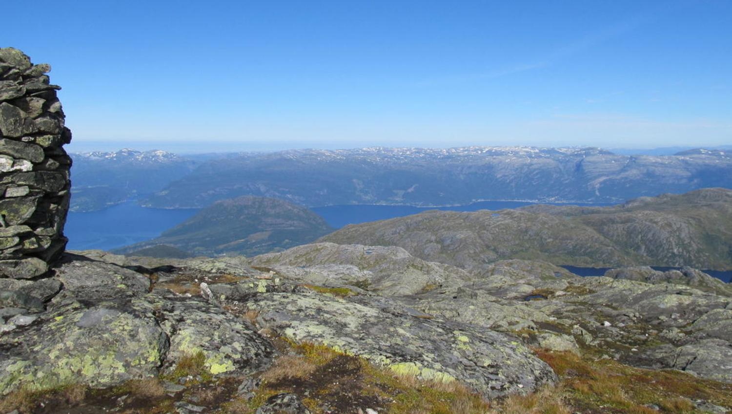
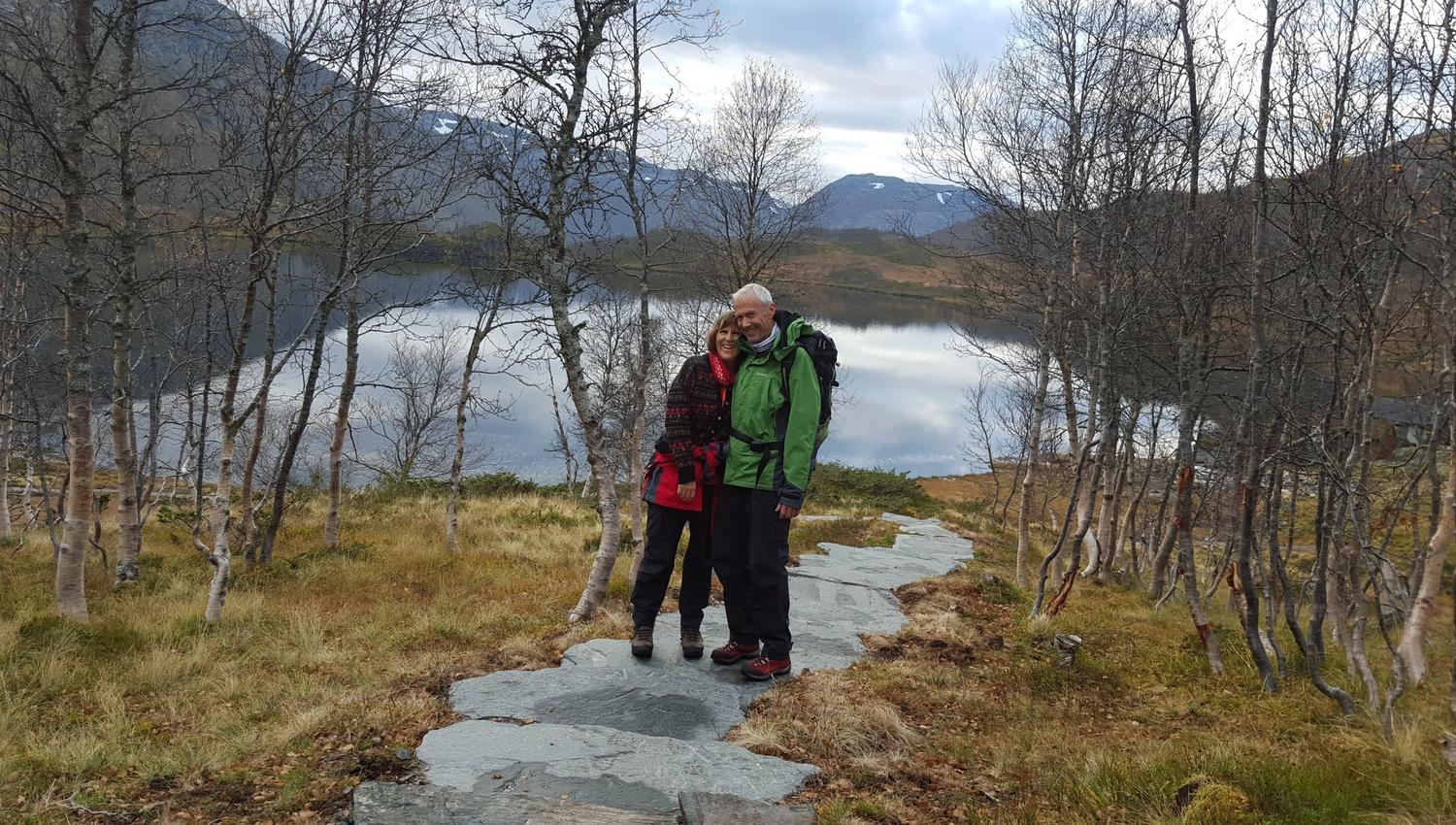
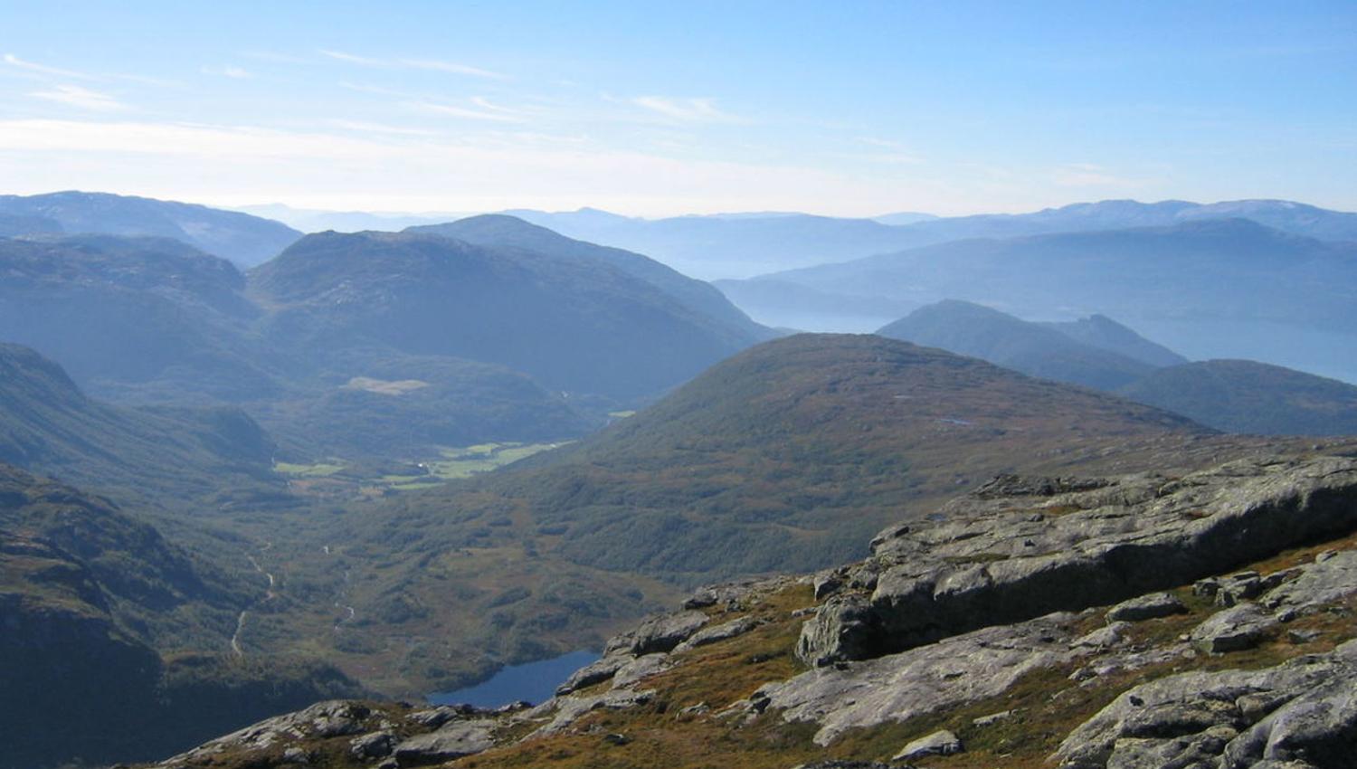
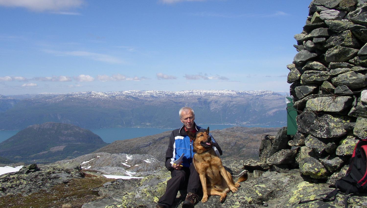
Follow Lake Botsvatnet on the eastern side across the marshes along the path, and cross the creek on the bridge. When approaching the summer pasture farm, follow the signs “Buførevegen” up the hill. The stone steps are made by Sherpas from Nepal. Follow Buførevegen along the cairns (stone markers) about halfway to Mt Jonstein. A signpost shows the direction to Mt Jonstein, but the path is unmarked. Great views in all directions from the summit at 1,344 meters above sea level. The return path down to Lake Botsvatn is marked with red T-marks and is rather steep. Be careful when walking.
Parking: At lake Botsvatnet
Parking fee: free, toll road NOK 100 (payment by credit card)
Length: 8 km
Total ascent: 700 meters
Total walking time: 4 hours
Season (average year): July - October
Quelle: Destination Hardanger Fjord AS